TagPart 150(269)
-
 2019-05-31
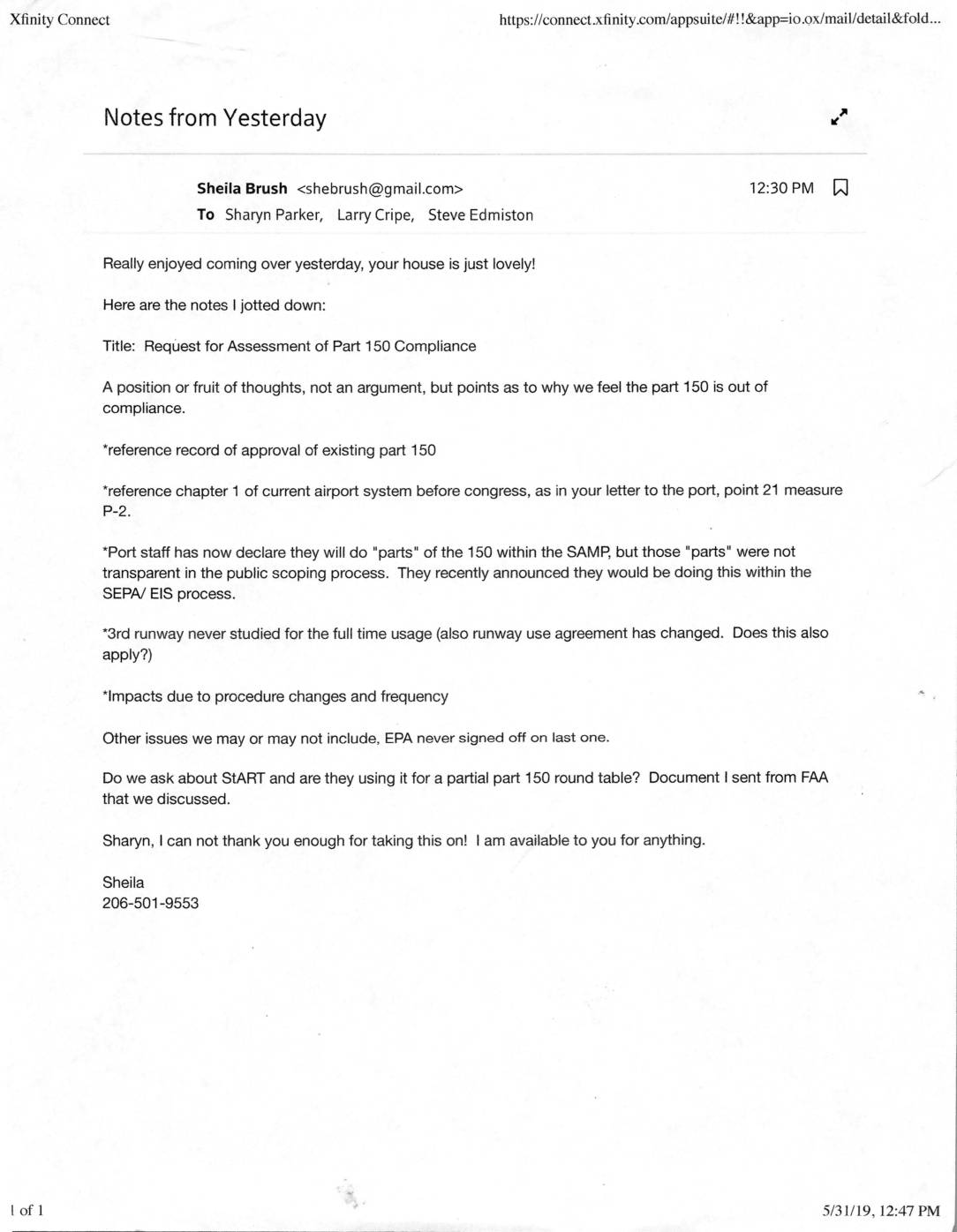
Notes from yesterday
In a May 2019 email, community advocate Sheila Brush shares meeting notes with colleagues outlining key arguments for why Sea-Tac Airport's Part 150 noise compatibility study may be out of compliance, including concerns about lack of transparency in the public scoping process and the unstudied noise impacts of a third runway. The notes also raise questions about whether the Port's plan to fold portions of the Part 150 study into the SAMP and SEPA/EIS processes is appropriate, and whether the EPA's lack of sign-off on the previous study is relevant. Brush expresses gratitude to Sharyn Parker for taking on the effort to formally request a compliance assessment from the FAA. -
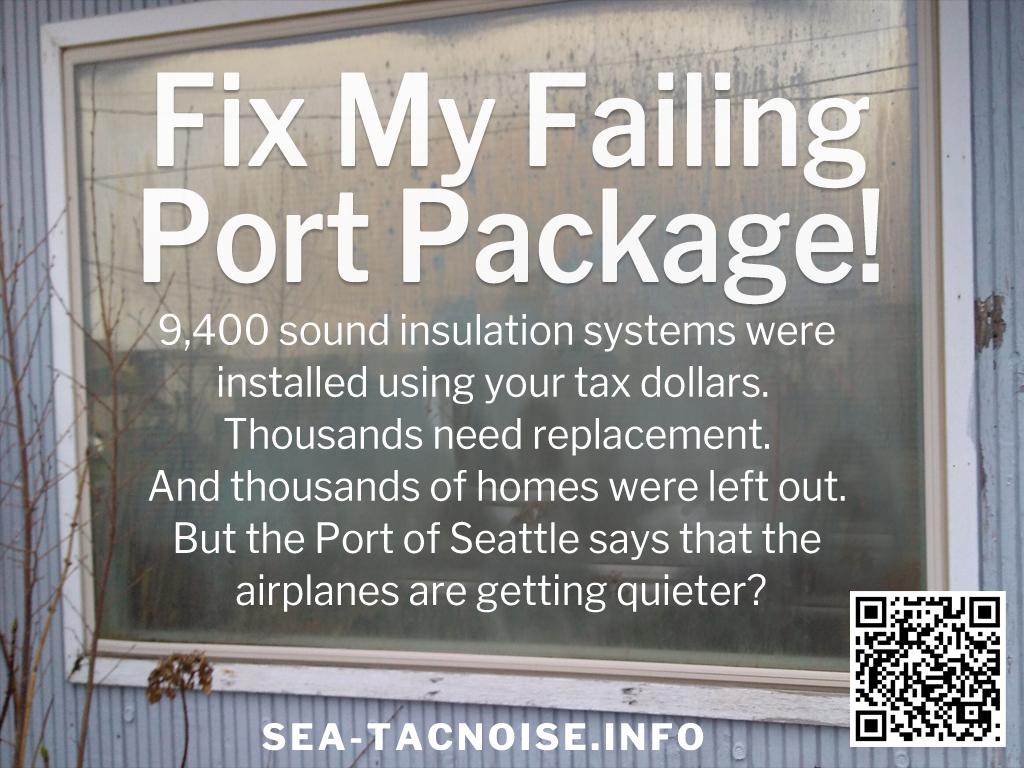
The Port Package Explainer
Does your home have a Port Package of noise mitigation windows and insulation? Having problems with your windows? Mold? You're not alone. Help us help you. -
 2019-01-25
Lockridge Grindal Nauen Invoice Statement No. 00002 — City of Burien Airport Consulting, October–December 2018
Lockridge Grindal Nauen P.L.L.P. submitted a $2,231.25 invoice to the City of Burien for 12.75 hours of legal and research work performed between October and December 2018, covering topics such as SEA airport noise programs, Part 150 studies, economic impacts, and community engagement strategy. The City of Burien initially questioned the invoice because a prior email had indicated no authorized work past September 25, 2018, but the City of SeaTac's Community & Economic Development Director confirmed via email that the matter had been clarified and directed Burien to proceed with payment. The work was conducted under an environmental/airport consulting contract running from June 2018 through the end of 2019. -
 2019-01-25
Lockridge Grindal Nauen Invoice Statement No. 00002 — City of Burien Airport Consulting, October–December 2018
Lockridge Grindal Nauen P.L.L.P. submitted a $2,231.25 invoice to the City of Burien for 12.75 hours of legal and research work performed between October and December 2018, covering topics such as SEA airport noise programs, Part 150 studies, economic impacts, and community engagement strategy. The City of Burien initially questioned the invoice because a prior email had indicated no authorized work past September 25, 2018, but the City of SeaTac's Community & Economic Development Director confirmed via email that the matter had been clarified and directed Burien to proceed with payment. The work was conducted under an environmental/airport consulting contract running from June 2018 through the end of 2019. -
 2019-01-07
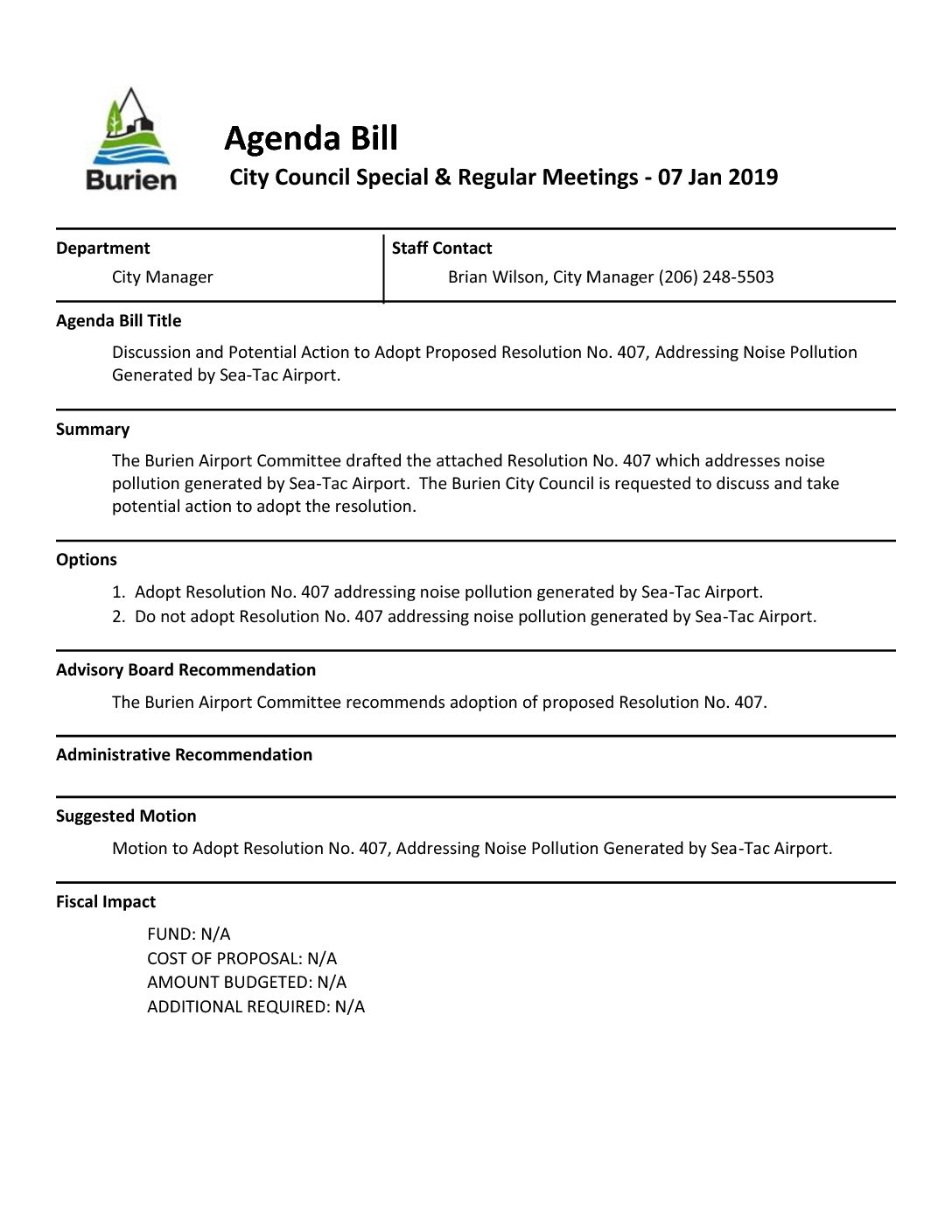
Resolution No. 407 addressing noise pollution generated by Sea-Tac Airport
In January 2019, the City of Burien, Washington considered Resolution No. 407, a measure drafted by the Burien Airport Committee to address noise pollution from nearby Sea-Tac Airport. The resolution highlighted that the airport's rapid growth had caused serious health, environmental, and economic harm to Burien residents, with current FAA noise level standards far exceeding the safer thresholds recommended by the World Health Organization. The Burien Airport Committee recommended adoption of the resolution, which called for updated noise impact assessments and greater consideration of off-site noise effects. -
FAA: Airport Environmental Programs
The Airport Environmental Programs help airports implement the National Environmental Policy Act (NEPA) and other Federal environmental laws and regulations. This includes airport noise compatibility planning (Part 150), airport noise and access restrictions (Part 161), environmental review for airport development, and the application of the Uniform Relocation Assistance and Real Property Acquisition Policies Act of -
 2018-10-05
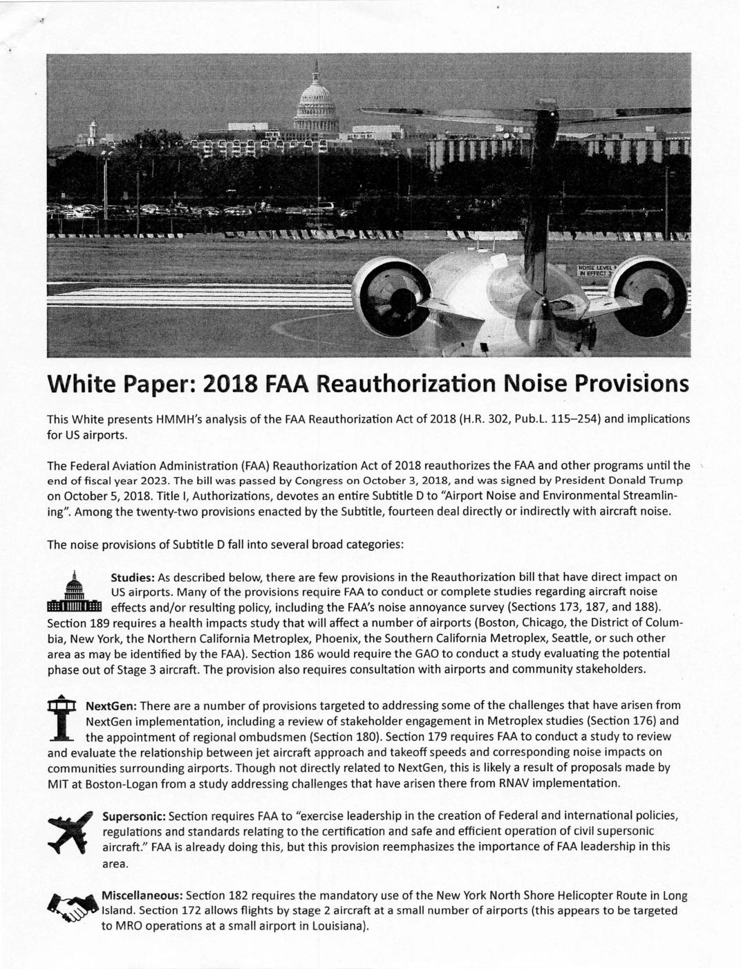
White paper: 2018 FAA Reauthorization noise provisions
This white paper analyzes the noise-related provisions of the FAA Reauthorization Act of 2018 (H.R. 302), which reauthorized the FAA through fiscal year 2023 and included 14 provisions directly or indirectly addressing aircraft noise. Key measures require the FAA to study alternative noise metrics to replace the Day-Night Average Sound Level (DNL) standard, update Noise Exposure Maps when operations change significantly, and consider dispersal headings for new flight procedures to reduce community noise impacts. Seattle is among the cities specifically identified for a health impacts study related to aviation noise, making these provisions particularly relevant to Sea-Tac Airport stakeholders. -
 2018-05-07
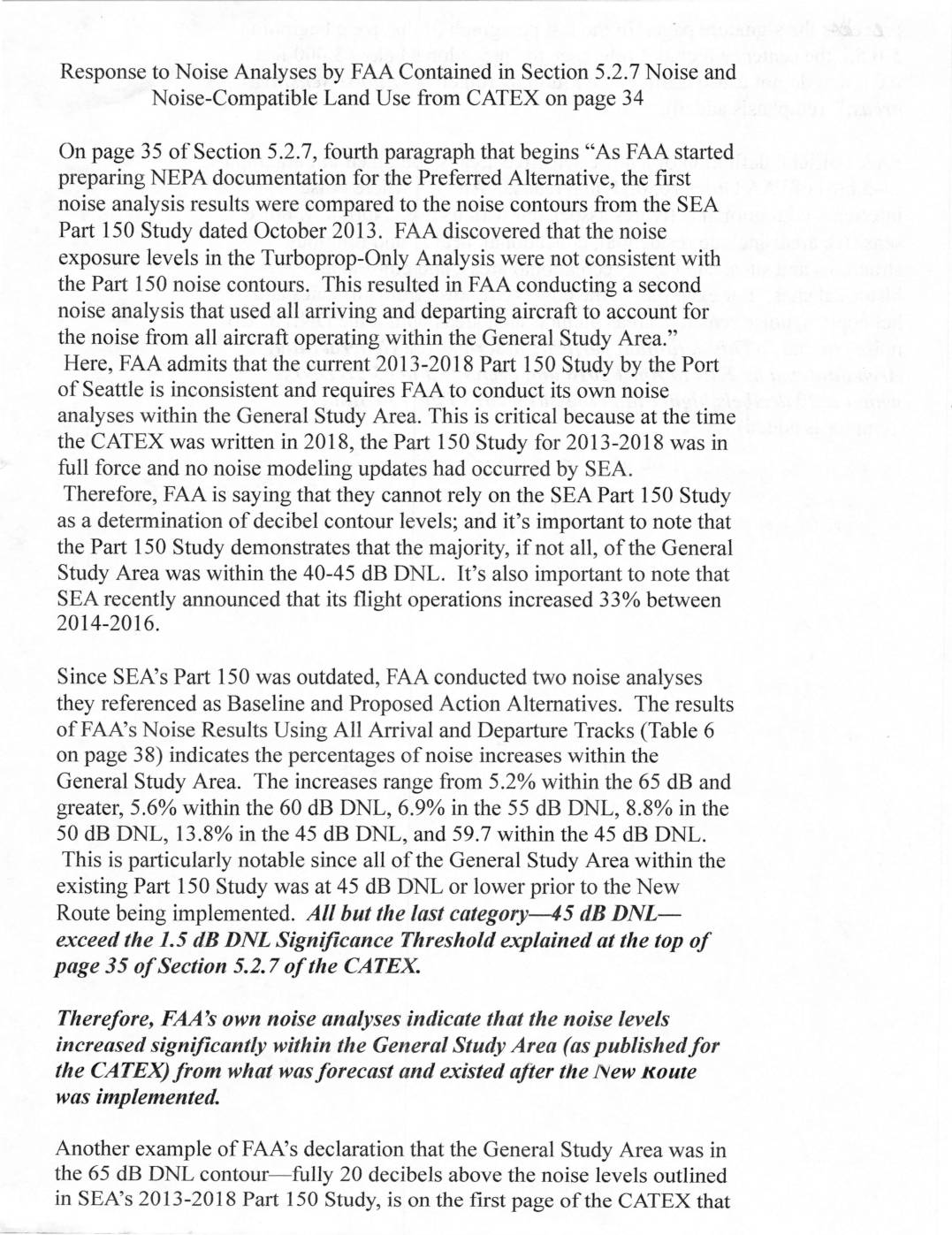
Response to noise analyses by FAA contained in Section 5.2.7 noise and noise-compatible land use from CATEX on page 34
This document presents a community challenge to the FAA's environmental review (CATEX) of new flight routes near Seattle-Tacoma International Airport, arguing that the FAA's own noise analyses show significant noise increases in the surrounding General Study Area that exceed the agency's own significance thresholds. The authors contend that the FAA could not rely on the outdated 2013-2018 Port of Seattle Part 150 noise study, and that the FAA's independent analyses revealed noise level jumps ranging from 5.2% to nearly 60% across various decibel contours. The document concludes that the FAA's declaration of 'no noise impacts' is implausible given data showing that portions of previously quiet neighborhoods now experience non-compatible land use noise levels above 65 dB DNL. -
 2018-03-14
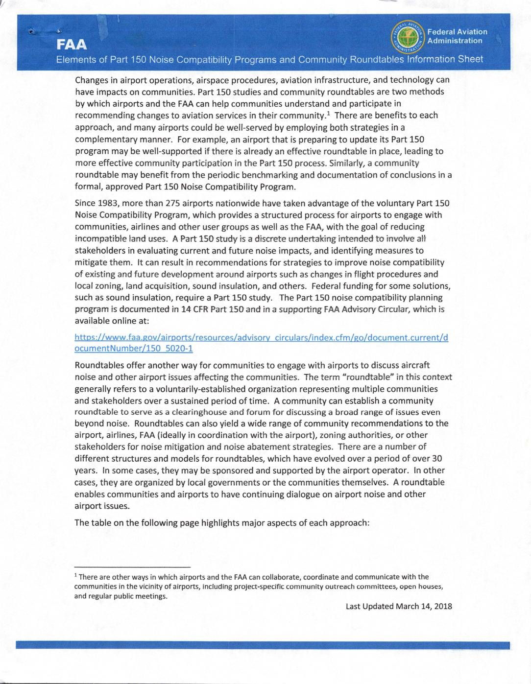
Elements of Part 150 noise compatibility programs and community roundtables information sheet
This FAA information sheet explains two main ways airports and communities can work together to address aircraft noise: the formal Part 150 Noise Compatibility Program, which follows federal regulations and can unlock federal funding for solutions like sound insulation, and Community Roundtables, which are voluntary ongoing forums where neighbors, airlines, and airport representatives discuss a broad range of noise and airport concerns. While Part 150 studies are structured, time-limited processes that result in an approved Noise Compatibility Plan, roundtables operate continuously under their own bylaws without a defined end date. The FAA recommends that airports consider using both approaches together for the most effective community engagement. -
 2018-03-14
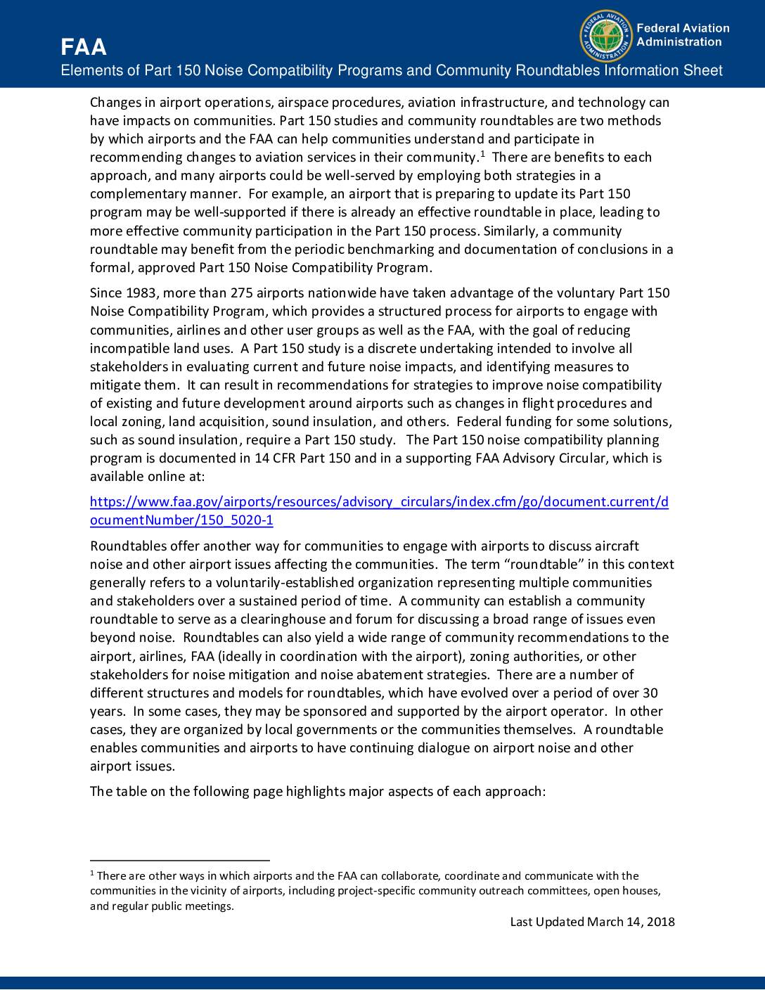
Elements of Part 150 noise compatibility programs and community roundtables information sheet
This FAA information sheet explains two main ways airports and communities can address aircraft noise concerns: the formal Part 150 Noise Compatibility Program, which follows federal regulations and can unlock funding for solutions like sound insulation, and Community Roundtables, which are voluntary ongoing forums for broader dialogue between airports, airlines, the FAA, and neighboring communities. The document compares the two approaches across key factors such as goals, FAA involvement, geographic scope, funding, and expected outcomes, noting that both methods can work together effectively. Airports like Sea-Tac may use one or both strategies to reduce noise impacts and keep community members informed and engaged.