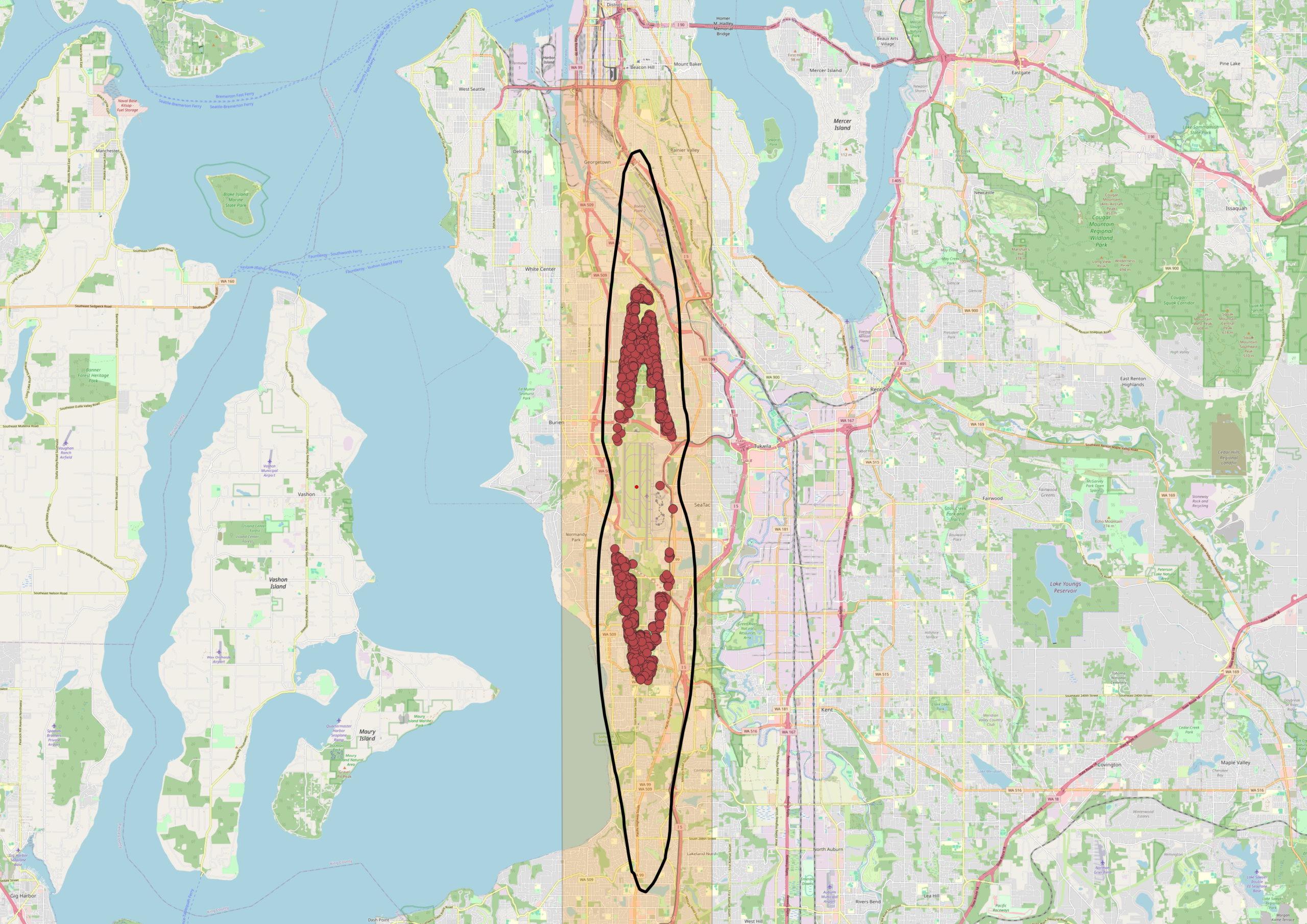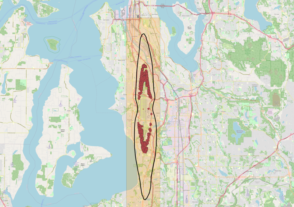
An OpenStreetMap-based map of the Seattle–Tacoma area showing Sea-Tac Airport's flight corridor, marked with a highlighted orange corridor zone and a black oval outline indicating the primary noise impact area. Red dot clusters represent noise complaints or flight track incidents concentrated over the Burien, White Center, and Tukwila neighborhoods south of Seattle, with a secondary cluster further south near Federal Way.Open full document
Notes
An OpenStreetMap-based map of the Seattle–Tacoma area showing Sea-Tac Airport’s flight corridor, marked with a highlighted orange corridor zone and a black oval outline indicating the primary noise impact area. Red dot clusters represent noise complaints or flight track incidents concentrated over the Burien, White Center, and Tukwila neighborhoods south of Seattle, with a secondary cluster further south near Federal Way.