TagBurien(59)
-
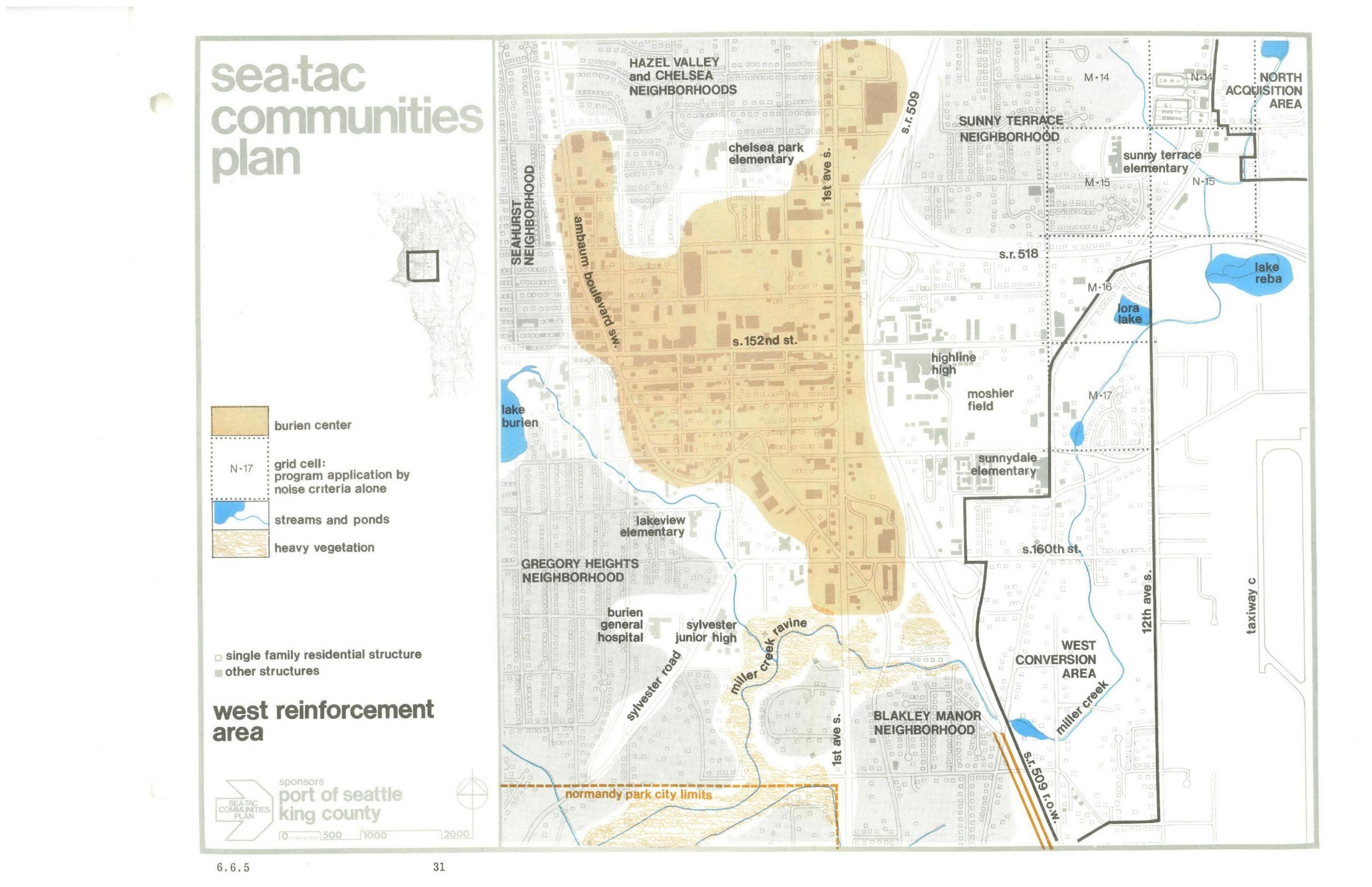
Sea-Tac Communities Plan: West Reinforcement Area Planning Map
A planning map from the Sea-Tac Communities Plan, sponsored by the Port of Seattle and King County, depicting the West Reinforcement Area including the Burien Center, surrounding neighborhoods (Seahurst, Hazel Valley, Chelsea, Gregory Heights, Sunny Terrace, Blakley Manor), schools, waterways, and adjacent land-use zones such as the North Acquisition Area and West Conversion Area. The map uses color coding and grid cells to indicate noise-based program application areas, streams, ponds, and heavy vegetation, with key landmarks including Highline High School, Lake Burien, and S.R. 518. -
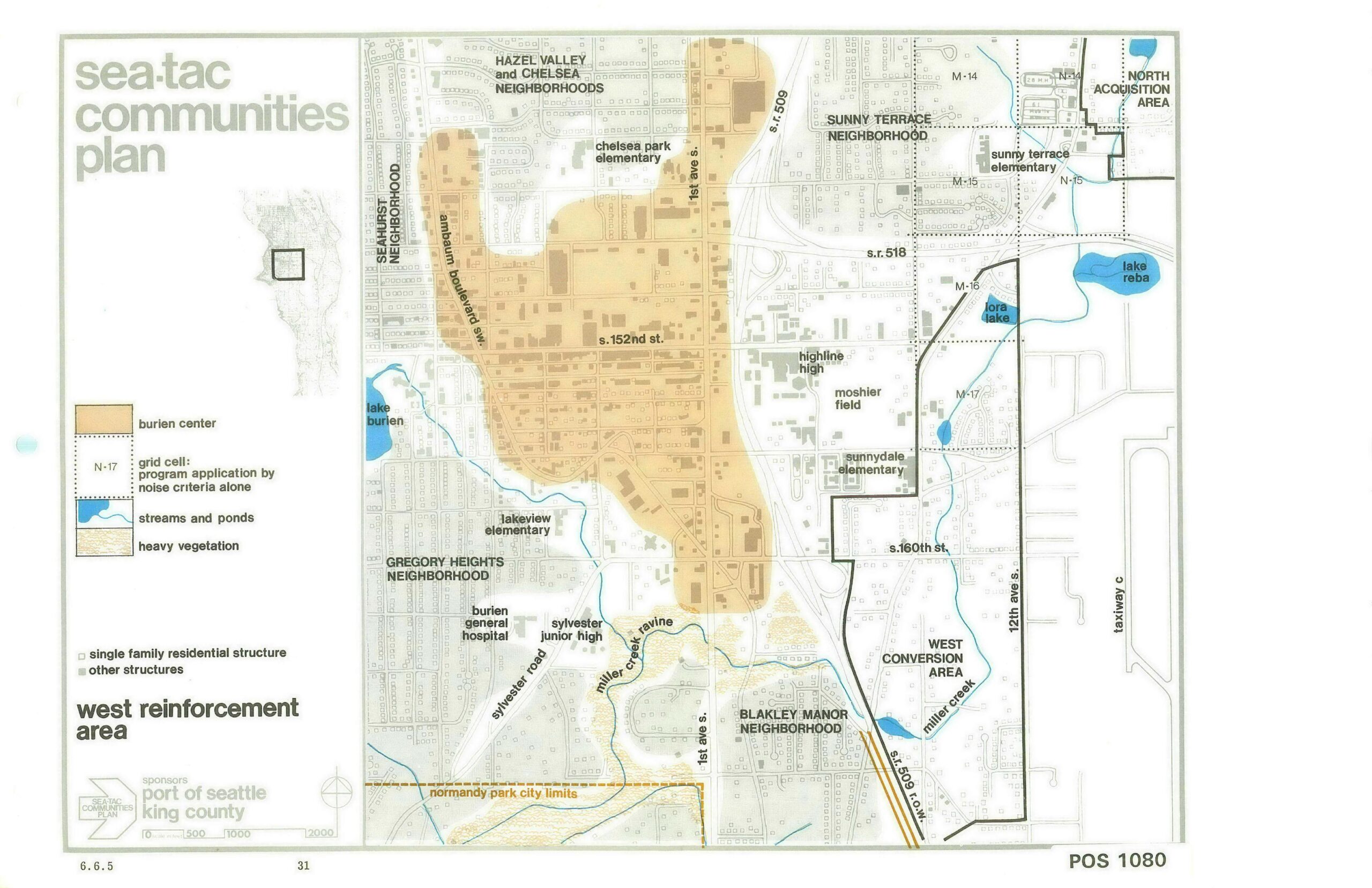
Sea-Tac Communities Plan Map 6.6.5 — West Reinforcement Area: Hazel Valley, Chelsea, and Surrounding Neighborhoods
This is map 6.6.5 (page 31, document reference POS 1080) from the Sea-Tac Communities Plan, sponsored by the Port of Seattle and King County. It depicts the West Reinforcement Area, showing neighborhoods including Hazel Valley and Chelsea, Seahurst, Gregory Heights, Sunny Terrace, and Blakley Manor, with grid cells indicating noise-criteria program application areas, the Burien Center boundary, streams and ponds, and key landmarks such as Highline High School, Burien General Hospital, and Lora Lake. -
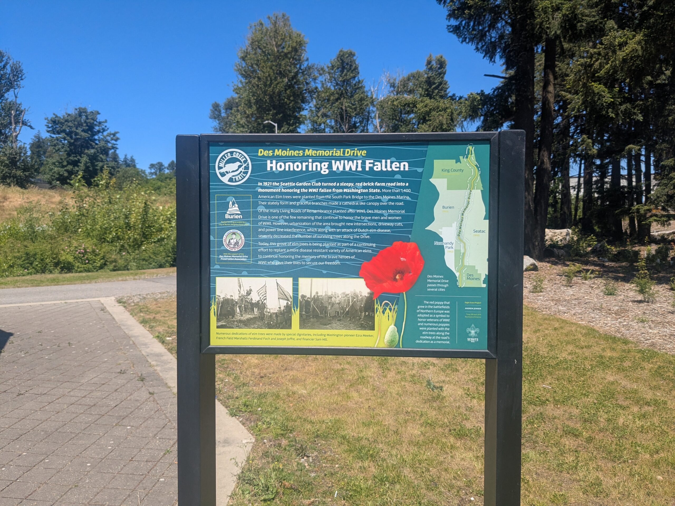
Miller Creek Trail — Des Moines Memorial Drive Elm Memorial Sign, Burien
An interpretive sign on the Miller Creek Trail explains that in 1921 the Seattle Garden Club transformed a red brick farm road into a WWI memorial by planting more than 1,400 American Elm trees from the South Park Bridge to the Des Moines Marina. The sign notes ongoing efforts to replant disease-resistant elms and includes a map showing Des Moines Memorial Drive passing through King County, Burien, Seatac, Normandy Park, and Des Moines. -
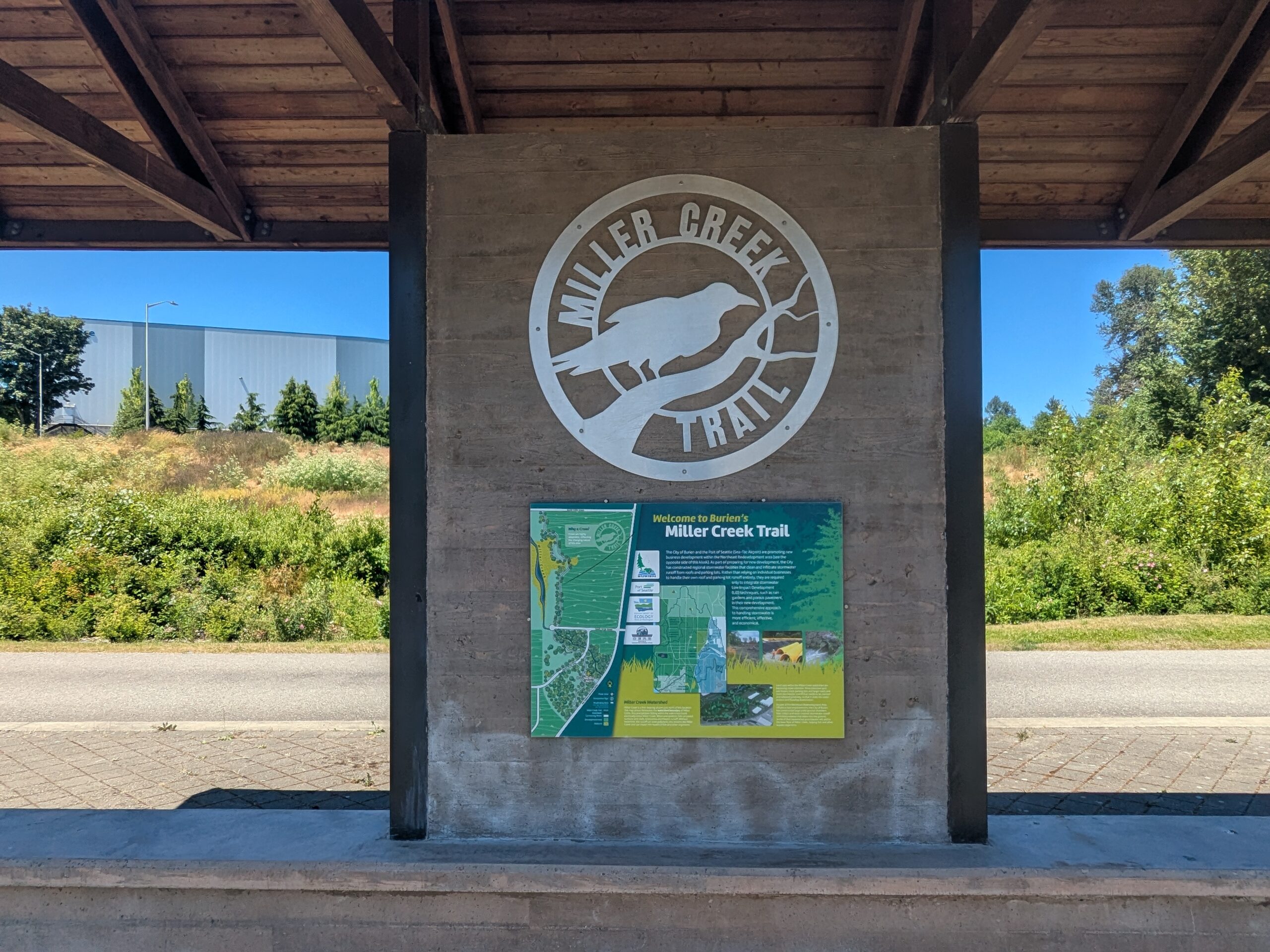
Miller Creek Trail — Entrance Kiosk and Map, Burien
A covered kiosk displays the Miller Creek Trail logo and an informational map panel reading 'Welcome to Burien's Miller Creek Trail.' The trail is located in the City of Burien, near the Sea-Tac Airport corridor in King County, Washington. -
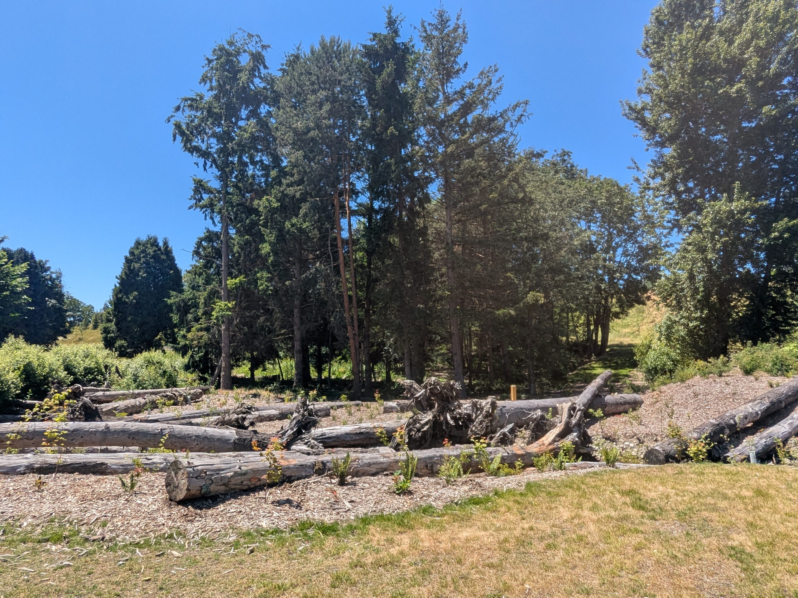
-
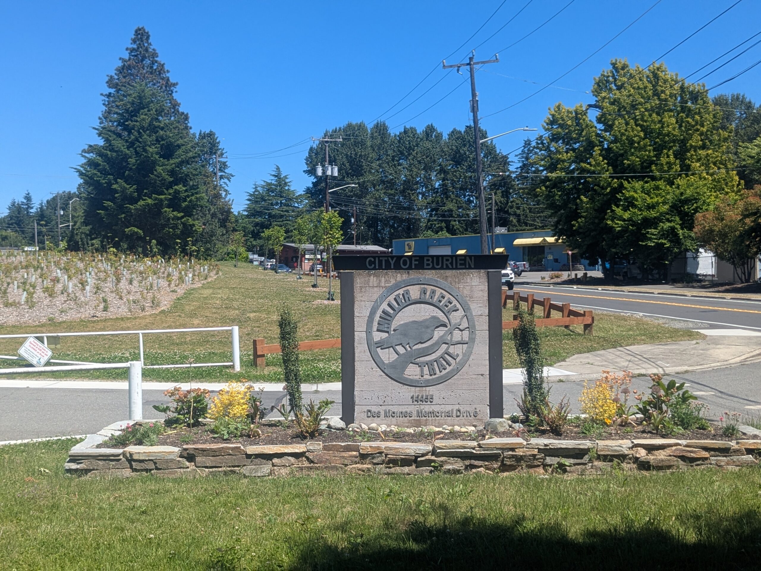
Miller Creek Trail — Entrance Monument, Burien
A stone monument sign marks the entrance to Miller Creek Trail, a City of Burien facility located at 14455 Des Moines Memorial Drive. The sign features a circular metal logo depicting a bird (likely a kingfisher) and the trail name, with landscaped plantings and a newly restored riparian area visible in the background. -
 2026-05-27
Highline Forum Burien Presentation May 27, 2026
A presentation about Burien for the Highline Forum on May 27, 2026. Describes Burien as a vibrant and creative community incorporated in 1993, with 52,000 residents across 11 square miles, highlighting its diversity, arts and culture focus, and environmental values. -
 2026-05-19
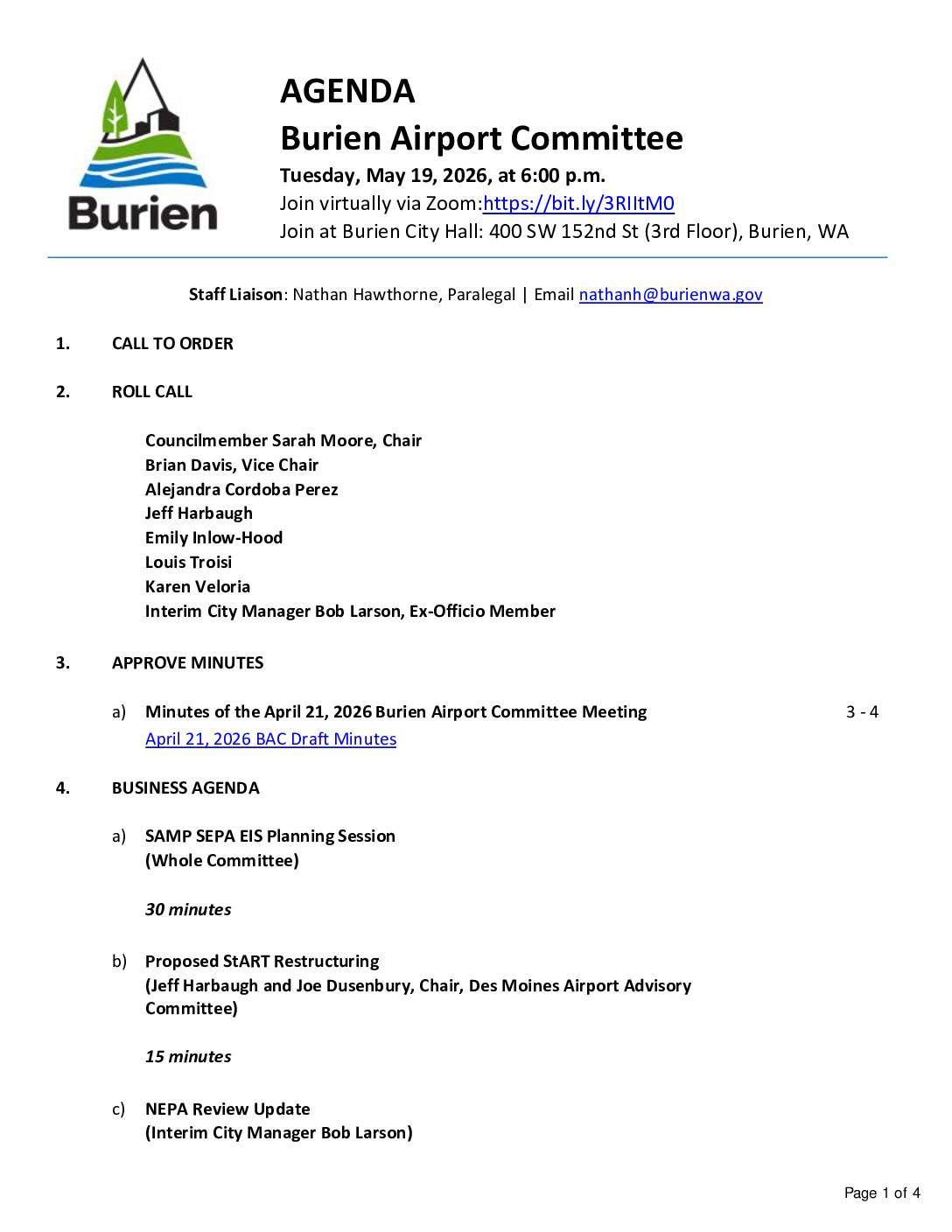
Burien airport committee agenda and minutes
The Burien Airport Committee is scheduled to meet on May 19, 2026, to discuss key aviation policy topics including a SAMP Environmental Impact Statement planning session, a proposed restructuring of the StART regional airport advisory group, and a NEPA review update. Draft minutes from the April 21, 2026 meeting show the committee also addressed the Port of Seattle's response to Burien's request for revisions to the Sound Insulation Program, with the committee expressing continued disagreement over the Port's criteria for qualifying homes for noise-reduction packages. Members of the public can participate in person at Burien City Hall, via Zoom, or by submitting written comments by email before 4:45 p.m. on the day of the meeting. -
 2026-04-21
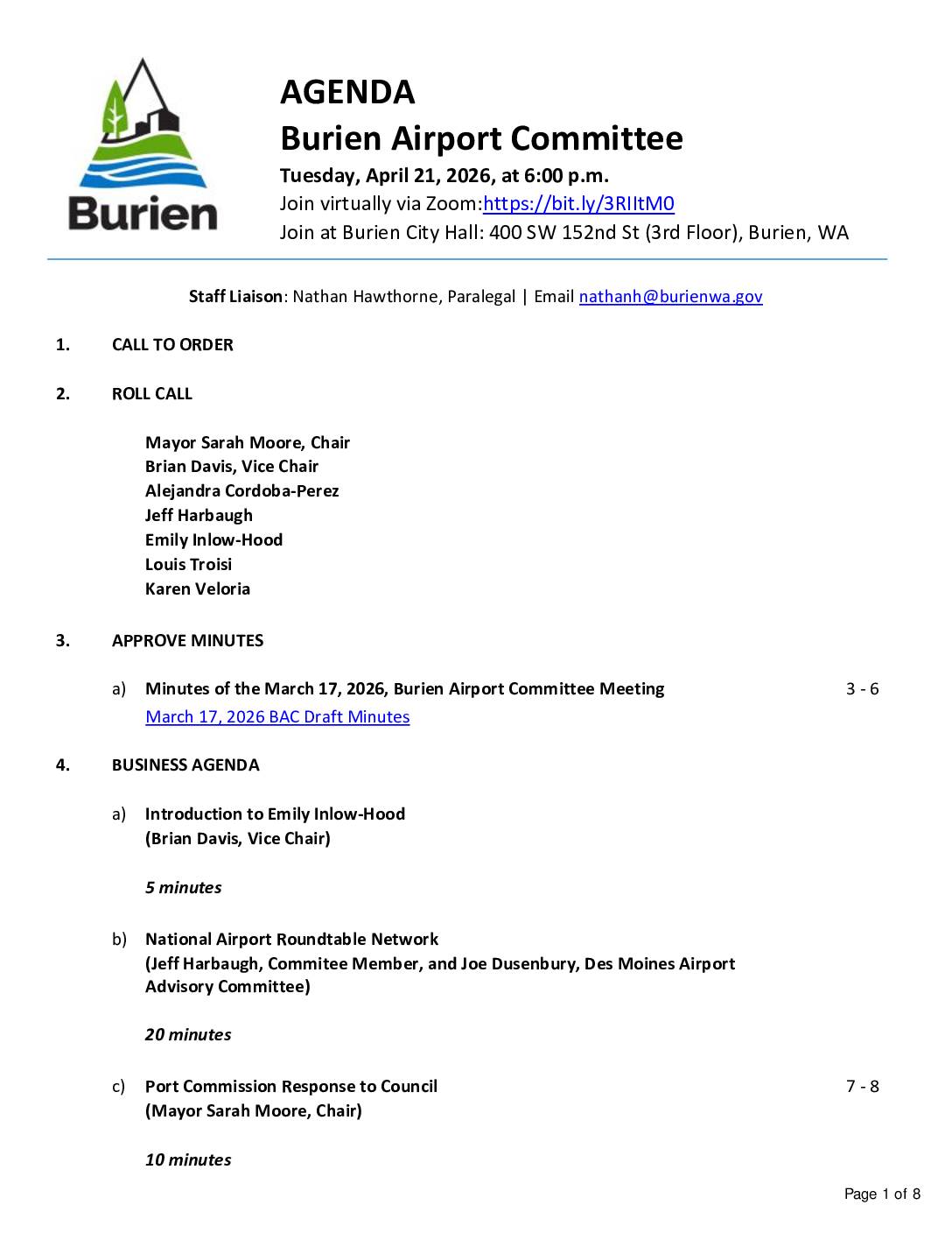
Burien Airport Committee Meeting
*Key Discussion Topics:** - National Airport Roundtable Network presentation with Des Moines Airport Advisory Committee representative - Port Commission response to Council - StART Steering Committee appointments - SAMP SEPA Strategy Team updates - South King and Port Community Fund analysis - North of NERA feedback and discussion -
 2026-04-21
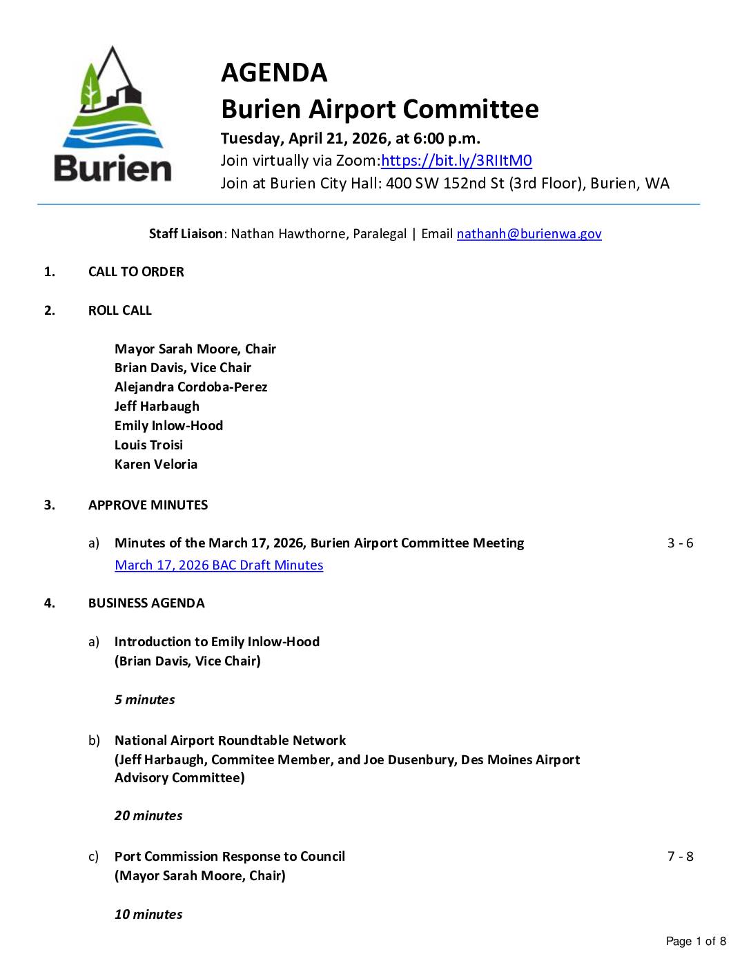
Burien Airport Committee 21 Apr 2026 Agenda Pdf
The Burien Airport Committee held a meeting on April 21, 2026, to discuss issues related to Seattle-Tacoma International Airport and its impact on surrounding communities. Key agenda items included a presentation on the National Airport Roundtable Network, a review of the Port of Seattle Commission's response to the Burien City Council regarding airport noise policy, and discussion of appointments to the StART Steering Committee. Draft minutes from the March 17, 2026 meeting also reflect public opposition to a proposed rezoning of the North of NERA area, with residents citing concerns about noise, traffic, and displacement of residential communities near the airport.