TagKing County(422)
-
 2026-10-01
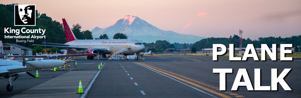
October Plane Talk – King County International Airport-Boeing Field Newsletter
Airport Roundtable to meet October 5, October 26 Due to the Indigenous Peoples Day holiday, the regular Airport Roundtable meeting for October will be held one week earlier than normal, on Monday, October 5. The regular Roundtable Zoom link will work to attend virtually. To receive the link, register to attend. An agenda and meeting -

Puget Sound Gateway Program Phase 1 SR-509 Completion Project Environmental Re-Evaluation Map
Map from the Puget Sound Gateway Program Phase 1 SR-509 Completion Project Environmental Re-Evaluation (page 343 cropped). Shows 2003 FEIS Alternative C2 and Phase 1 Improvements along I-5 corridor between S 272nd St and S 188th St in King County, Washington, covering Federal Way, Des Moines, SeaTac, Burien, Kent, and Tukwila. Documents interchange configurations (Full -
 2026-08-30
Appendix D Land Use
This document describes existing land uses near Seattle-Tacoma International Airport (SEA) as part of a Part 150 noise study. It draws on King County parcel and assessor data to categorize land use across nearby communities including Burien, Des Moines, Federal Way, Normandy Park, SeaTac, Tukwila, and unincorporated King County. The City of Burien, for example, is predominantly single-family residential (about 70% of its land area), with smaller shares dedicated to open space, commercial development, and institutional uses. -
2026-08-30
Appendix D Land Use
This document describes existing land uses near Seattle-Tacoma International Airport (SEA) as part of a Part 150 noise study. It draws on King County parcel and assessor data to categorize land use across nearby communities including Burien, Des Moines, Federal Way, Normandy Park, SeaTac, Tukwila, and unincorporated King County. The City of Burien, for example, is predominantly single-family residential (about 70% of its land area), with smaller shares dedicated to open space, commercial development, and institutional uses. -
 2026-08-28
Chapter 3 Urban Center Background Report
This document is Chapter 3 of the City of SeaTac's Envision SeaTac 2044 Comprehensive Plan, providing background on the city's designated Urban Growth Center. It outlines regional planning requirements from the Puget Sound Regional Council (PSRC) and King County, including growth targets, housing, transportation, and equity considerations for the urban center surrounding the SeaTac/Airport area. The chapter also describes three subareas — City Center, South 154th Street Station Area, and Angle Lake Station Area — and their projected growth capacity through 2044. -
 2026-08-28
Chapter 3 Urban Center Background Report
This document is Chapter 3 of the City of SeaTac's Envision SeaTac 2044 Comprehensive Plan, providing background on the city's designated Urban Growth Center. It outlines regional planning requirements from the Puget Sound Regional Council (PSRC) and King County, including growth targets, housing, transportation, and equity considerations for the urban center surrounding the SeaTac/Airport area. The chapter also describes three subareas — City Center, South 154th Street Station Area, and Angle Lake Station Area — and their projected growth capacity through 2044. -
 2026-08-28
Chapter 6 Economic Vitality Background Report
This report, Chapter 6 of the City of SeaTac's Envision SeaTac 2044 Comprehensive Plan, analyzes the city's economic vitality through employment trends, workforce demographics, and commercial market conditions across office, industrial, retail, and hospitality sectors. It examines job growth, wage levels, commuting patterns, and racial demographics of the local workforce, alongside vacancy rates and development activity. The chapter also outlines growth targets and land capacity analysis to guide SeaTac's economic development through 2044. -
2026-08-28
Chapter 6 Economic Vitality Background Report
This report, Chapter 6 of the City of SeaTac's Envision SeaTac 2044 Comprehensive Plan, analyzes the city's economic vitality through employment trends, workforce demographics, and commercial market conditions across office, industrial, retail, and hospitality sectors. It examines job growth, wage levels, commuting patterns, and racial demographics of the local workforce, alongside vacancy rates and development activity. The chapter also outlines growth targets and land capacity analysis to guide SeaTac's economic development through 2044. -
 2026-08-28
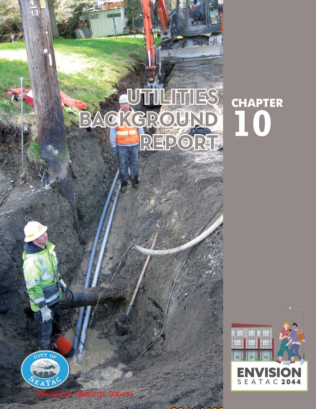
Chapter 10 Utilities Background Report
This document is Chapter 10 of the City of SeaTac's Comprehensive Plan, providing a background report on utilities serving the city. It inventories electrical, natural gas, telecommunications, solid waste, sewer, and water utility systems, covering providers such as Puget Sound Energy, Seattle City Light, and several water and sewer districts. The report also references relevant federal and state regulations governing these utilities. -
 2026-08-28
Chapter 10 Utilities Background Report
This document is Chapter 10 of the City of SeaTac's Comprehensive Plan, providing a background report on utilities serving the city. It inventories electrical, natural gas, telecommunications, solid waste, sewer, and water utility systems, covering providers such as Puget Sound Energy, Seattle City Light, and several water and sewer districts. The report also references relevant federal and state regulations governing these utilities.