TagPart 150(269)
-
 2019-08-19
City of Burien Letter to Port Of Seattle Executive Director and Commissioners Regarding Sea-Tac Airport Noise and Community Impacts
In August 2019, the City of Burien sent a formal letter to the Port of Seattle's Executive Director and Commissioners raising nine pointed questions about Sea-Tac Airport's noise policies and community health impacts. The city challenged the Port's failure to conduct updated noise studies across all runways since 2002, slow implementation of sound insulation programs, and lack of transparency in the StART community committee process. Burien concluded by calling for an honest public dialogue about whether continued airport growth is sustainable given the environmental and quality-of-life consequences for neighboring residents. -
 2019-08-13
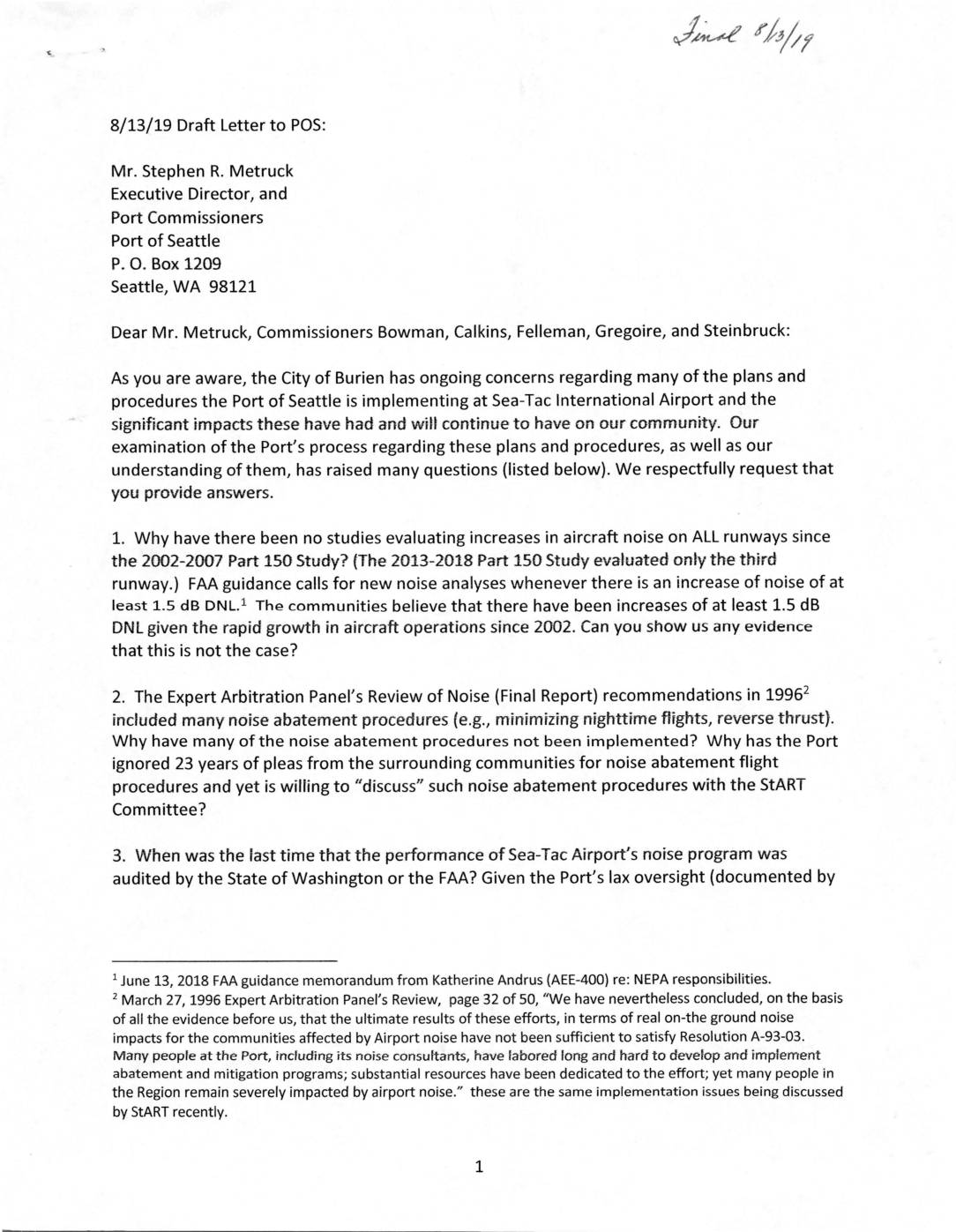
Draft letter to Port Of Seattle regarding Sea-Tac Airport noise and community impacts
In August 2019, the Burien City Council sent a formal letter to the Port of Seattle's Executive Director and Commissioners raising nine pointed questions about Sea-Tac Airport's noise management failures, including the lack of updated noise studies since 2002, slow implementation of sound insulation for affected homes, unaddressed air quality concerns, and the exclusion of meaningful community input. The letter argues that the Port has prioritized airport expansion and profits over the health and quality of life of surrounding residents for more than 20 years. The Council calls for an honest, open dialogue about how much airport growth is truly sustainable given its ongoing environmental and community impacts. -
 2019-08-07
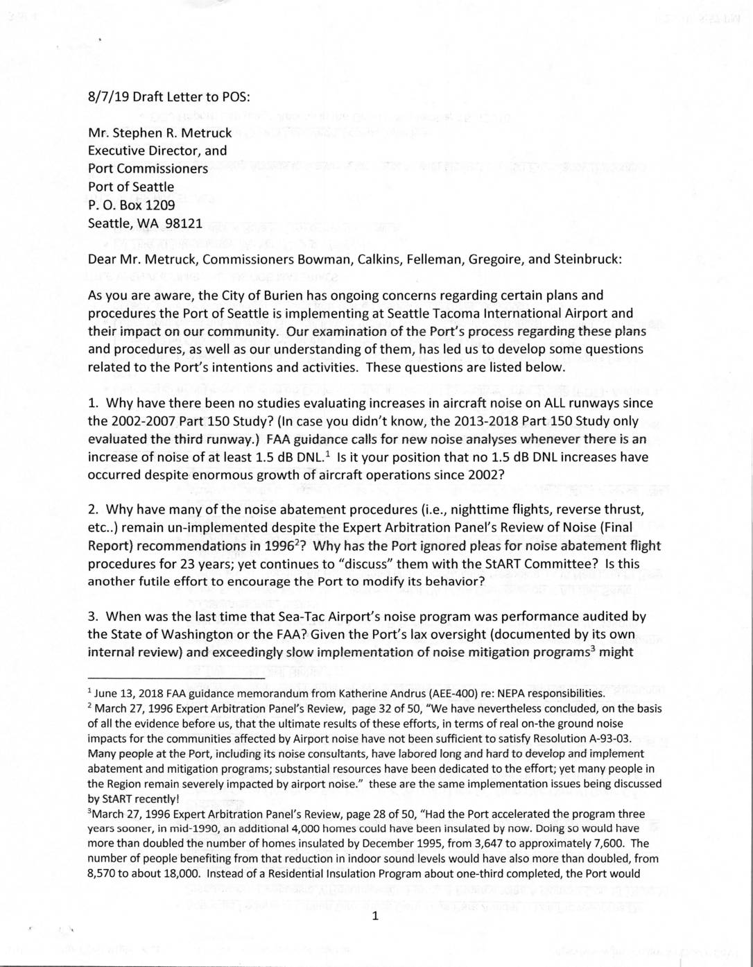
Draft letter to Port Of Seattle regarding Sea-Tac Airport noise and community impact concerns
In August 2019, the City of Burien sent a draft letter to the Port of Seattle raising eight pointed questions about Seattle-Tacoma International Airport's handling of aircraft noise, air quality, and community impact. The letter challenges the Port's failure to conduct comprehensive noise studies since 2002, its slow implementation of sound insulation programs, and its prioritization of airport expansion planning over legally recommended noise mitigation measures. Burien officials conclude that the Port has not treated compatibility with surrounding communities as a genuine priority, citing decades of unaddressed recommendations dating back to a 1996 Expert Arbitration Panel report. -
 2019-07-31
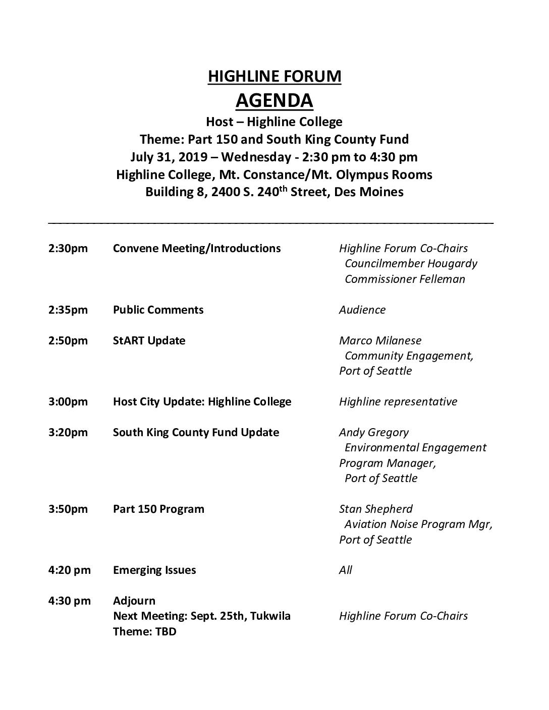
Highline Forum agenda: Part 150 and South King County Fund
The Highline Forum held a public meeting on July 31, 2019, at Highline College in Des Moines, Washington, focusing on the FAA Part 150 Aviation Noise Program and the South King County Fund, both related to managing aircraft noise impacts around Seattle-Tacoma International Airport. Port of Seattle staff presented updates on community engagement, environmental funding, and noise mitigation efforts, with additional time for public comment and discussion of emerging issues. The forum also announced two upcoming 2019 meetings scheduled for September 25 in Tukwila and November 20 in Des Moines. -
 2019-07-31
Sound mitigation briefing: Highline Forum
This July 2019 briefing presented to the Highline Forum outlines Sea-Tac Airport's sound mitigation efforts under the FAA's Part 150 program, a voluntary federal framework that helps airports address noise and land use conflicts while qualifying for up to 80% federal grant funding. Sea-Tac's program, which began in 1985 and has undergone three updates (most recently in 2014), has involved extensive public outreach including workshops, city council presentations, and community forums. The briefing highlights that Sea-Tac Airport has been actively working to reduce aviation noise impacts on surrounding communities for more than 30 years. -
 2019-07-31
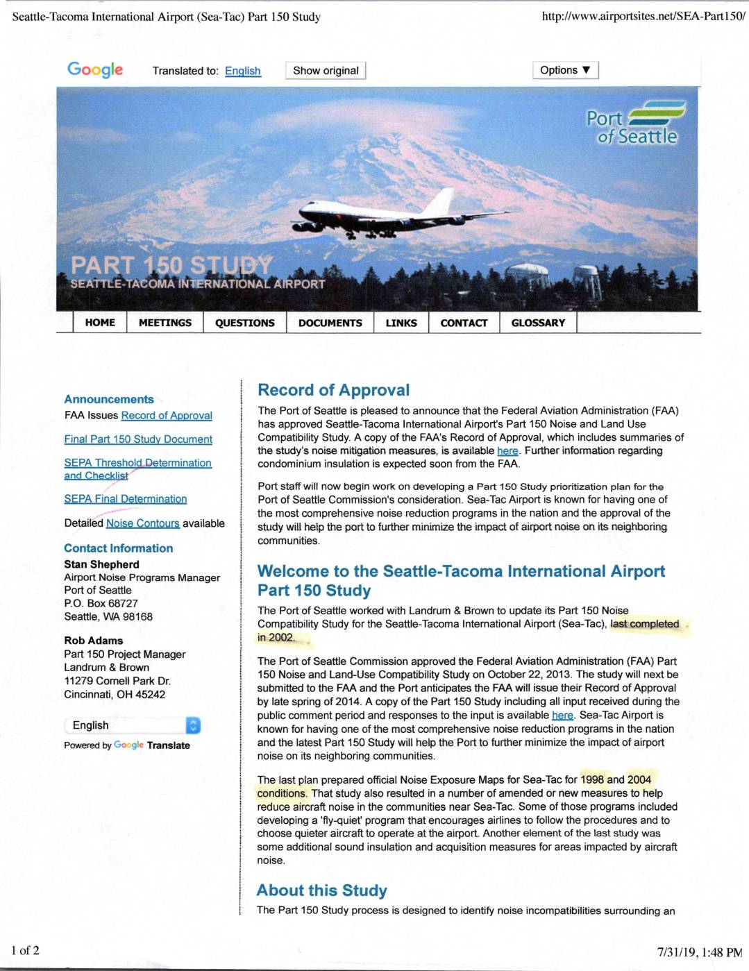
Seattle-Tacoma International Airport (Sea-Tac) Part 150 study
The Seattle-Tacoma International Airport (Sea-Tac) Part 150 Noise and Land Use Compatibility Study, approved by the Port of Seattle Commission in October 2013 and later by the FAA, aims to identify and reduce aircraft noise impacts on surrounding communities. The study developed noise exposure maps for 2013 and projected 2018 conditions, evaluated air traffic control procedures, and considered land use controls to limit noise-sensitive development in high-noise areas. Sea-Tac is recognized for having one of the most comprehensive airport noise reduction programs in the nation, with measures including a 'fly-quiet' program and sound insulation assistance for affected residents. -
 2019-07-30
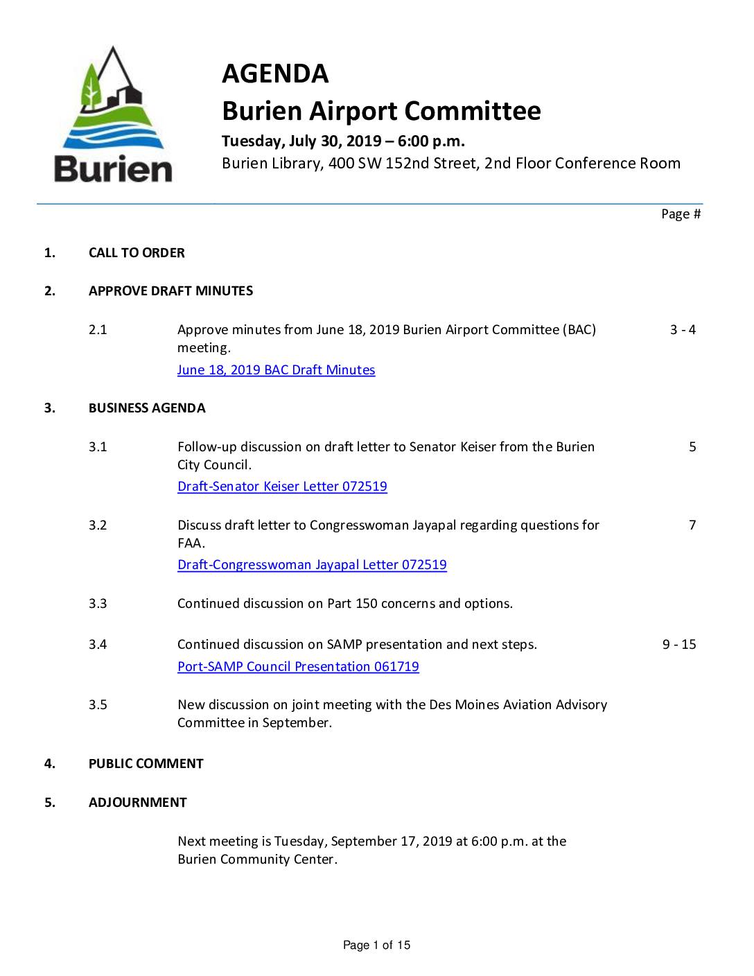
Burien Airport Committee meeting agenda, July 30, 2019
This document contains the agenda and draft minutes for the Burien Airport Committee meeting held on July 30, 2019, focused on community concerns about Sea-Tac Airport. Key topics included draft letters to Senator Keiser and Congresswoman Jayapal regarding FAA questions, ongoing discussions about FAA Part 150 noise mitigation options, and the Port of Seattle's Sustainable Airport Master Plan (SAMP). The committee also discussed coordinating with the Des Moines Aviation Advisory Committee and reviewed notes from recent stakeholder meetings with airport planning consultants. -
 2019-07-23
Preface and summary of themes in comparison matrix
The Burien Quiet Skies coalition compiled this 2019 document comparing FAA and Port of Seattle noise abatement commitments against actual progress, revealing decades of unmet promises dating back to 1985. Key concerns include hundreds of homes left uninsulated or poorly insulated, a 12-year gap in required noise modeling data, and noise levels in some Burien neighborhoods now exceeding the 65 dB threshold that triggers mitigation eligibility. The document calls on the FAA to hold the Port of Seattle accountable for failing to implement long-recommended noise reduction measures and for significantly underestimating flight operations and their impact on surrounding communities. -
 2019-06-18
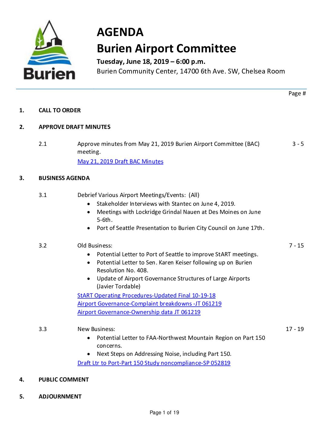
Burien Airport Committee agenda, June 18, 2019
The Burien Airport Committee met on June 18, 2019 to discuss airport noise and planning issues related to Seattle-Tacoma International Airport, including debriefing on recent stakeholder meetings with consultants Stantec and Lockridge Grindal Nauen, and a Port of Seattle presentation to Burien City Council. The committee considered potential letters to the Port of Seattle, Senator Karen Keiser, and the FAA regarding concerns about the Sustainable Airport Master Plan (SAMP) and Part 150 noise study noncompliance. Members also reviewed research on airport governance structures and complaint processes at large airports across the country. -
 2019-06-07
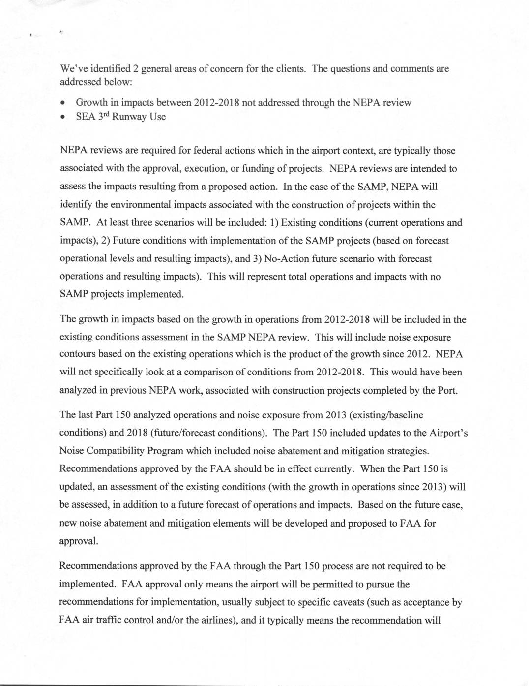
BAC SP2 ABCx2 review of Arlynn Purcell’s presentation to Burien
A consulting team addresses two community concerns about Seattle-Tacoma International Airport: the lack of a direct NEPA environmental review covering noise impact growth between 2012 and 2018, and questions about how the airport's third runway is being used. The document explains that while current NEPA and Part 150 processes will capture existing noise conditions, they will not specifically compare 2012 versus 2018 impacts, and that federally funded runways like the third runway must be made available whenever air traffic control deems it necessary. The consultants propose reviewing historical Part 150 studies, past NEPA documents, and third-runway records to assess noise impacts on surrounding communities, while also supporting clients in engaging the Port, FAA, and airlines through the StART committee and other channels.