TagKing County(422)
-
 2022-09-29
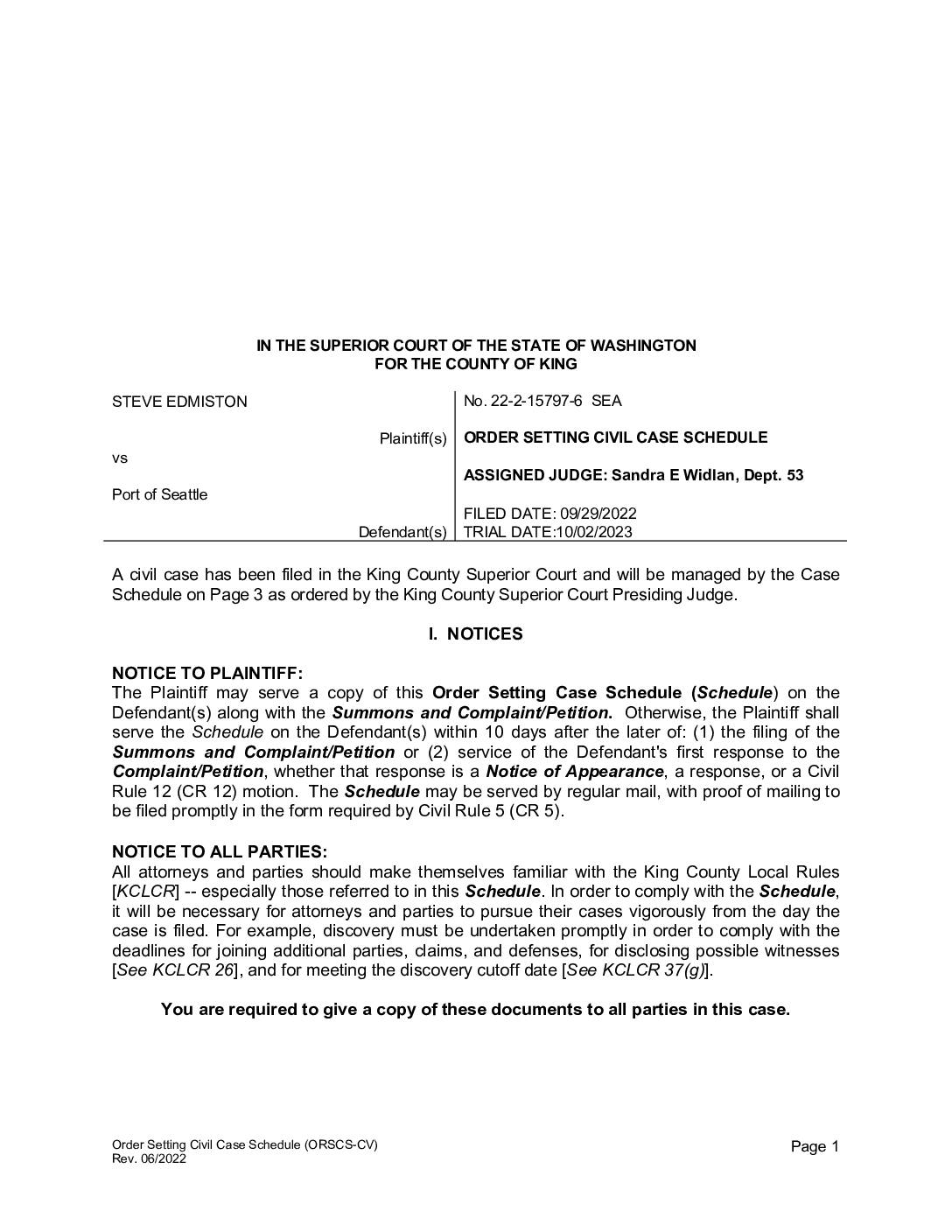
Order Setting Civil Case Schedule: Steve Edmiston v. Port Of Seattle, No. 22-2-15797-6 SEA
This is a King County Superior Court order setting the civil case schedule for Steve Edmiston's lawsuit against the Port of Seattle, filed on September 29, 2022, with a trial date of October 2, 2023. The document outlines key procedural deadlines, including witness disclosure, discovery cutoff, and alternative dispute resolution requirements. Judge Sandra E. Widlan of Department 53 was assigned to oversee the case. -
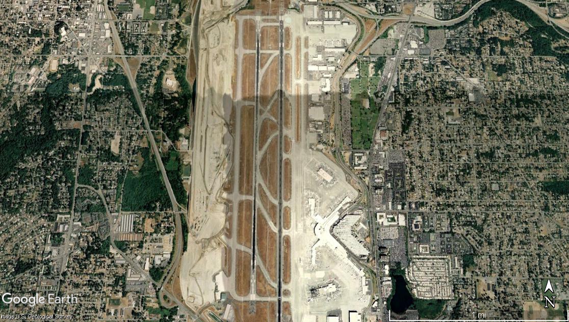
Sea-Tac Airport Satellite View Showing Parallel Runways and Terminal Complex
Google Earth satellite image of Seattle-Tacoma International Airport (Sea-Tac), showing its parallel runway configuration, terminal complex on the east side, and surrounding suburban neighborhoods in King County, Washington. The image is credited to Google Earth and the U.S. Geological Survey, with a scale bar indicating approximately 1 mile. -
 2022-09-01
King County Communitywide Consumption-Based GHG Emissions Inventory: Puget Sound Regional Emissions Analysis
This 2022 report by EcoDataLab and Stockholm Environment Institute provides a consumption-based greenhouse gas emissions inventory for King County and the broader Puget Sound region, tracking emissions tied to residents' purchases and behaviors across categories such as transportation, food, housing, goods, and services. It analyzes historical emissions trends, neighborhood-level variations, and supply chain stages, then outlines potential strategies for reducing those emissions through policy changes and shifts in household consumption patterns. -
 2022-08-28
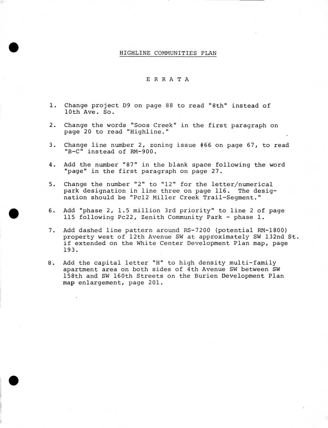
Highline Communities Plan: Errata and Adopted HCP Modifications
This document contains official corrections and modifications to the Highline Communities Plan, a land-use planning document for communities near Sea-Tac Airport in King County, Washington. It addresses errata such as street name corrections, zoning designation changes, and map updates, as well as adopted modifications related to hazard area development, Planned Unit Developments (PUDs), and a notable recognition of Boeing's proposed corporate headquarters on Port of Seattle property west of Sea-Tac Airport. The modifications also acknowledge that an environmental impact statement was being prepared by King County regarding the Boeing proposal, while community input had not yet been formally gathered. -
 2022-08-28
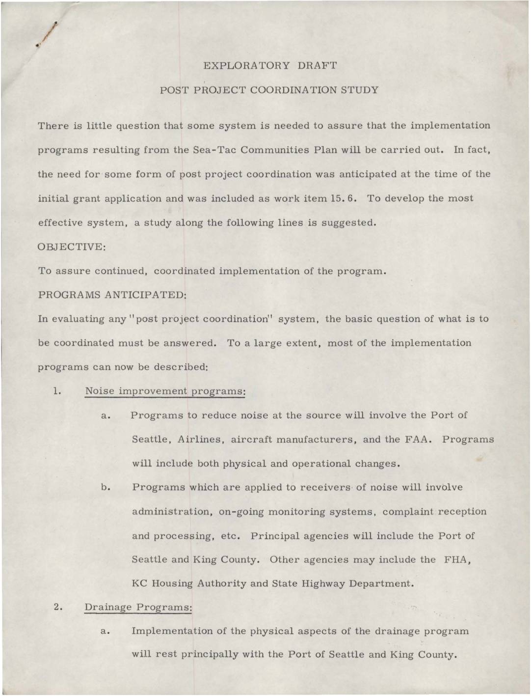
Exploratory draft: Post project coordination study
This exploratory draft outlines a proposed Post Project Coordination Study aimed at ensuring the continued implementation of programs developed under the Sea-Tac Communities Plan. It identifies key areas requiring coordination, including aircraft noise reduction, drainage improvements, community action programs, and land use controls, with principal agencies such as the Port of Seattle and King County playing central roles. The document also highlights the need for legislative advocacy at both the state and federal levels, as well as potential follow-up studies to fully carry out the plan's recommendations. -
 2022-08-27
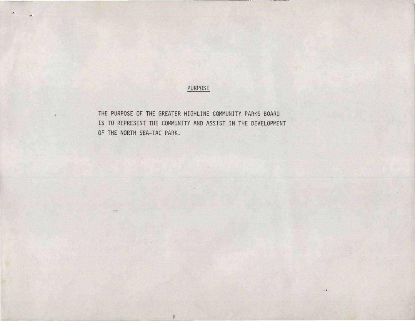
Greater Highline Community Parks Board: Purpose, Plan for Park Development, and History of North Sea-Tac Park
The Greater Highline Community Parks Board was organized in early 1981 to represent the local community in developing the North Sea-Tac Park, a project arising from the Port of Seattle's acquisition of land severely impacted by airplane noise from Sea-Tac Airport. The development plan included steps such as securing a master lease with the Port of Seattle, organizing sports and recreation programs, cleaning up and improving the site, and potentially taking over Sunset School for community use. Key milestones between 1980 and 1981 included a $30,000 master plan study, approvals from both the Port of Seattle Commission and King County, and a bid by the Parks Board on all Sunset School buildings contingent on obtaining the master lease. -
-
 2022-08-27
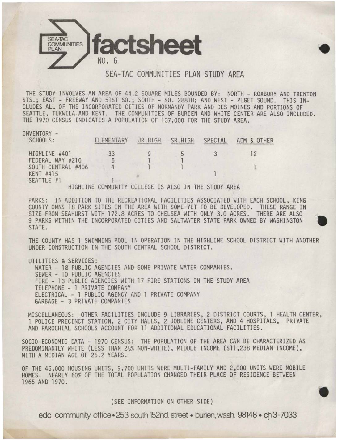
Sea-Tac Communities Plan Fact Sheet No. 6: Study Area Overview
This 1973 fact sheet from the Sea-Tac Communities Plan describes a 44.2-square-mile study area surrounding Seattle-Tacoma International Airport, covering communities including Burien, White Center, Normandy Park, and Des Moines, with a 1970 population of 137,000. The document inventories local schools, parks, utilities, and services in the region, and provides socioeconomic data showing a predominantly white, middle-income population with a median household income of $11,238. The plan was jointly sponsored by King County and the Port of Seattle with the goal of maximizing compatibility between the airport and its surrounding communities. -
 2022-08-27
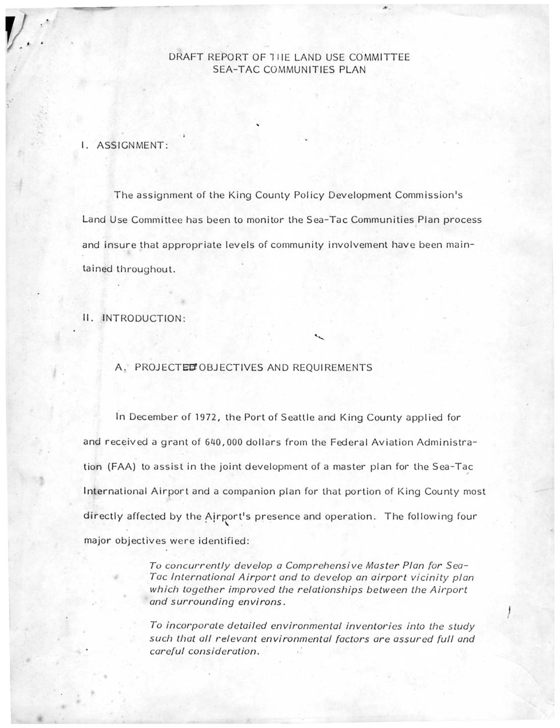
Draft report of the Land Use Committee: Sea-Tac Communities Plan
This draft report from the King County Policy Development Commission's Land Use Committee outlines the planning process for the Sea-Tac Communities Plan, a joint effort between King County and the Port of Seattle funded by a $640,000 FAA grant awarded in 1972. The plan aimed to concurrently develop a master plan for Sea-Tac International Airport and a companion land-use plan for surrounding communities most affected by airport noise and operations. A Policy Advisory Committee representing government agencies, consultants, and community groups oversaw the process, which moved through four phases covering data collection, site analysis, alternative plan development, and final recommendations for adoption by both the King County Council and the Seattle Port Commission. -
 2022-08-27
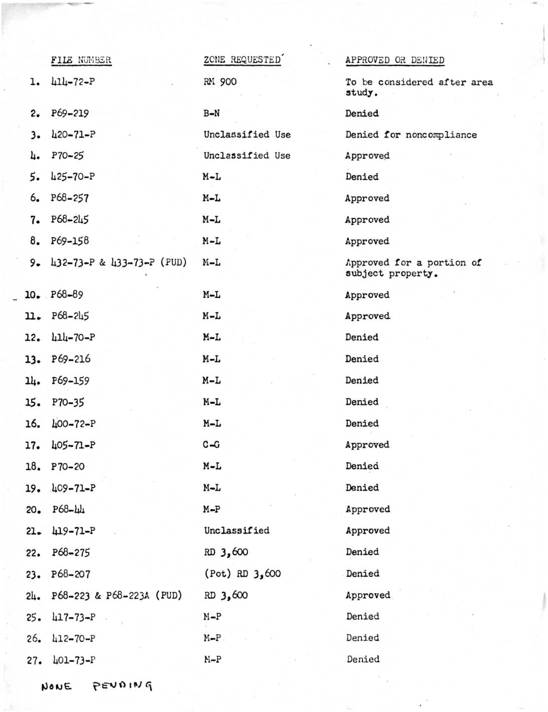
King County Zoning File Status for NIP
This document lists 27 zoning petition files submitted to a planning authority, detailing the zone classification requested and whether each petition was approved or denied. Requests span a variety of zone types including residential (RD 3,600, RM 900), light manufacturing (M-L), industrial (M-1), commercial (C-G), and others, with the majority of petitions ultimately denied. A note at the bottom indicates that none of the cases were pending at the time of the record.