TagKing County(422)
-
 2023-07-16
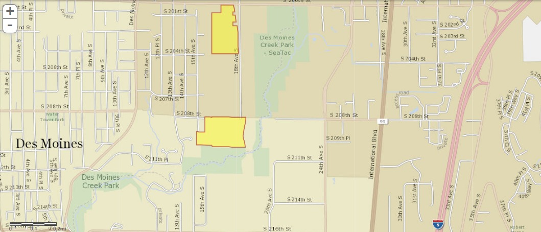
King County GIS Parcel Map: Property Ownership Near Des Moines Creek Park and Sea-Tac Airport Noise Zone
A street map showing the Des Moines and SeaTac area of Washington State, with two parcels highlighted in yellow/orange near Des Moines Creek Park and along 18th Ave S between approximately S 201st St and S 208th St. The map shows International Blvd (SR-99) and Interstate 5 to the east, in an area relevant to Sea-Tac Airport noise impact zones. -
 2023-06-07
Port Of Seattle Highline Forum: Economic development grants, partnerships & tourism
The Port of Seattle presented an overview of its Economic Development Partnership Grant Program, created in 2016, which provides King County cities per capita funding (capped at $60,000, with a $5,000 minimum for smaller cities) to support local economic development projects tied to the Port's Century Agenda and business interests. Cities are required to provide a 50% local match, either monetary or in-kind, to qualify for the grants. The forum also covered the Business Navigator Initiative and Tourism Recovery efforts aimed at supporting regional businesses and communities near Seattle-Tacoma International Airport. -
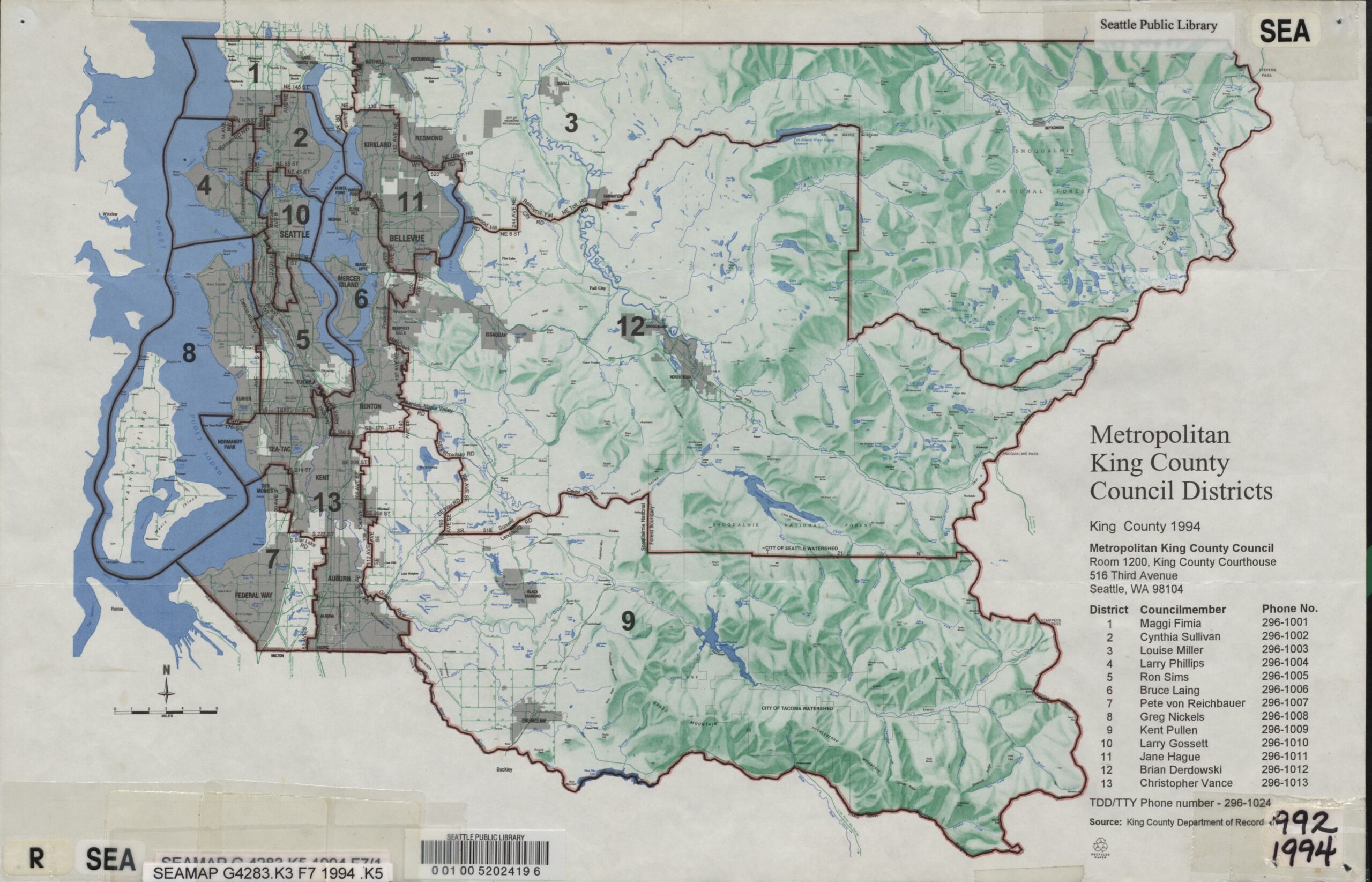
1994 King County Council Districts
A 1994 map from the King County Department of Records showing the 13 Metropolitan King County Council Districts, held by the Seattle Public Library (call number SEAMAP G4283.K3 F7 1994 .K5). The legend lists all 13 councilmembers by district, including representatives for districts covering the Sea-Tac area: District 7 (Pete von Reichbauer), District 13 (Christopher Vance), and District 5 (Ron Sims). -
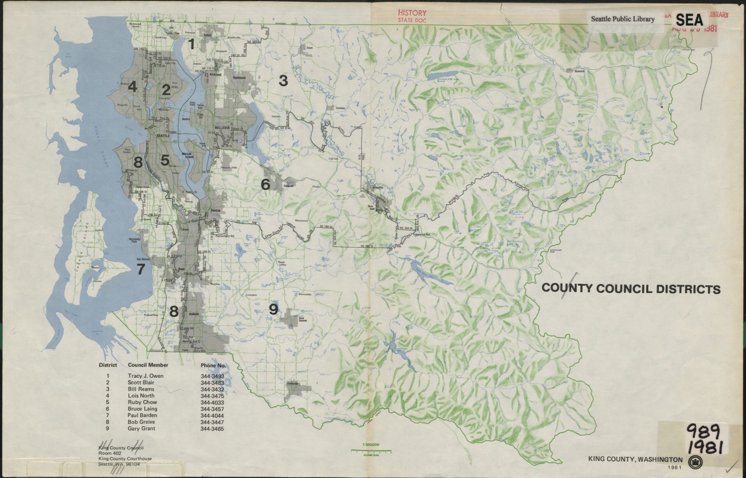
1981 King County Council Districts
A 1981 King County, Washington official map showing nine County Council Districts with council member names and phone numbers listed (Tracy J. Owen through Gary Grant, Districts 1–9). The map was catalogued by the Seattle Public Library under History/State Doc and includes the King County Courthouse address in Seattle, WA 98104. -
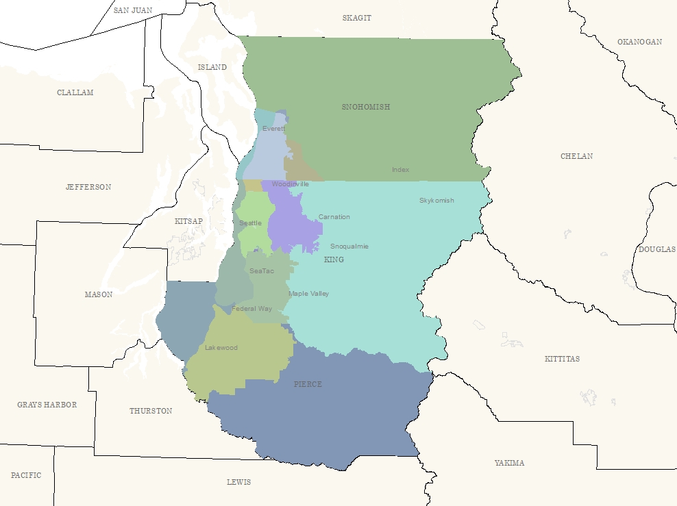
King County Fare Zones
A color-coded regional map of the greater Seattle/Puget Sound area showing King, Pierce, and Snohomish counties with labeled cities including Seattle, SeaTac, Federal Way, Everett, Lakewood, Snoqualmie, Carnation, and others. Surrounding counties including Kitsap, Thurston, Mason, Skagit, and Kittitas are also visible but unshaded, suggesting this map delineates a specific study or policy area relevant to the region. -
 2023-03-29
Community health & airport operations noise & air pollution: The King County Health Study
The King County Health Study is a publicly funded research effort that examines how SeaTac Airport operations affect the health of surrounding communities through noise and air pollution. The study analyzes existing health data within one, five, and ten miles of the airport, reviews scientific literature on airport-related health effects, and incorporates findings from a University of Washington study on ultrafine particulate matter. It concludes with recommendations for addressing health impacts linked to airport operations. -
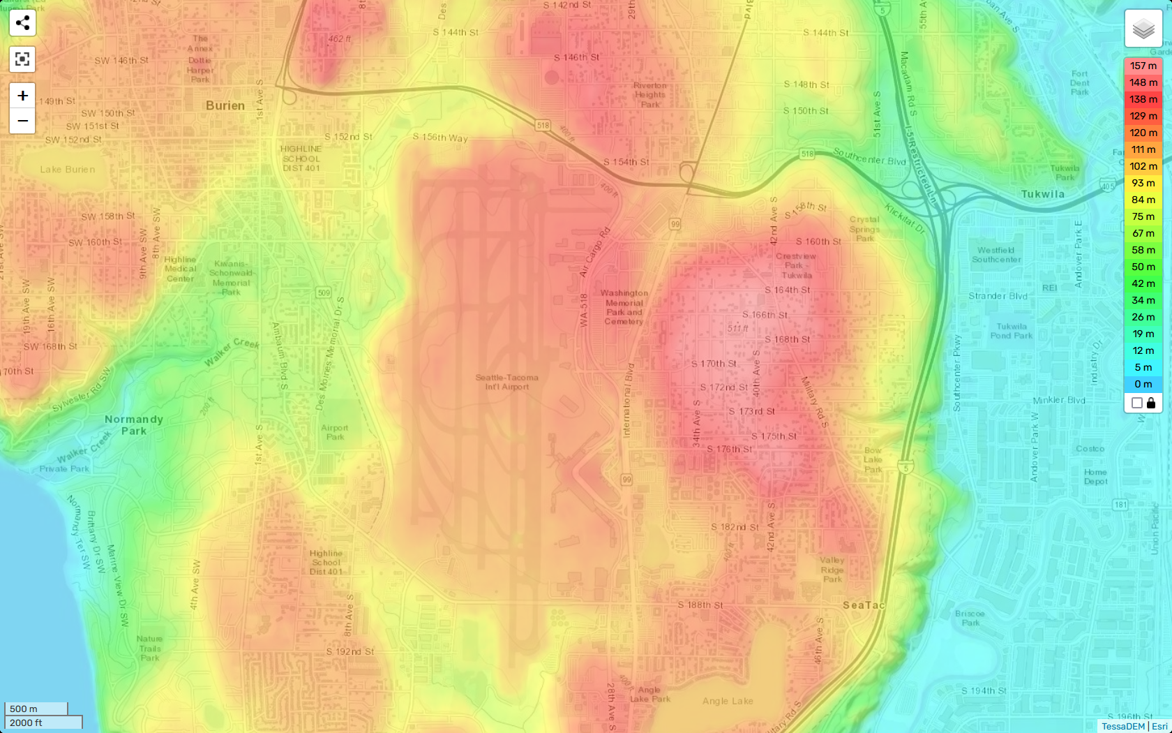
TessaDEM Elevation Heatmap of Sea-Tac Airport and Surrounding Communities
A TessaDEM/Esri elevation heatmap centered on Seattle-Tacoma International Airport and surrounding communities including Burien, Tukwila, SeaTac, and Normandy Park. The color scale ranges from 0 m (cyan/blue) to 157 m (deep red), with the highest elevations visible in the airport's central plateau and adjacent residential areas to the east near S. 164th–S. 182nd Streets. -
 2022-12-25
North Sea-Tac Park master plan update
The North Sea-Tac Park Master Plan Update is a joint planning document produced by King County and the Port of Seattle, prepared by Triangle Associates/Jones & Jones. It outlines recommended updates to the master plan for North Sea-Tac Park, including a phased development program and alternative implementation strategies. The plan reflects a collaborative effort to guide the park's future development in the area surrounding Seattle-Tacoma International Airport. -
 2022-11-29
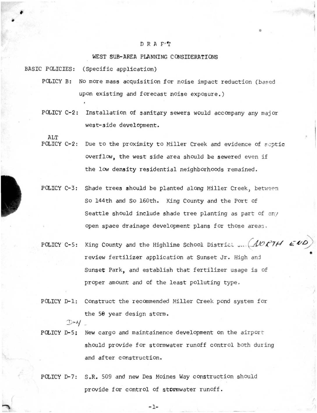
West sub-area planning considerations
This draft planning document outlines west sub-area policies near Sea-Tac Airport, addressing noise impact reduction, environmental concerns, and land use transitions. Key provisions include halting mass property acquisition for noise mitigation, installing sanitary sewers near Miller Creek, controlling stormwater runoff from new airport development, and planting shade trees along local waterways. The document also proposes orderly conversion of single-family residential areas to higher-intensity uses, coordinated with the construction of S.R. 509 as a western boundary for redevelopment. -
 2022-11-29
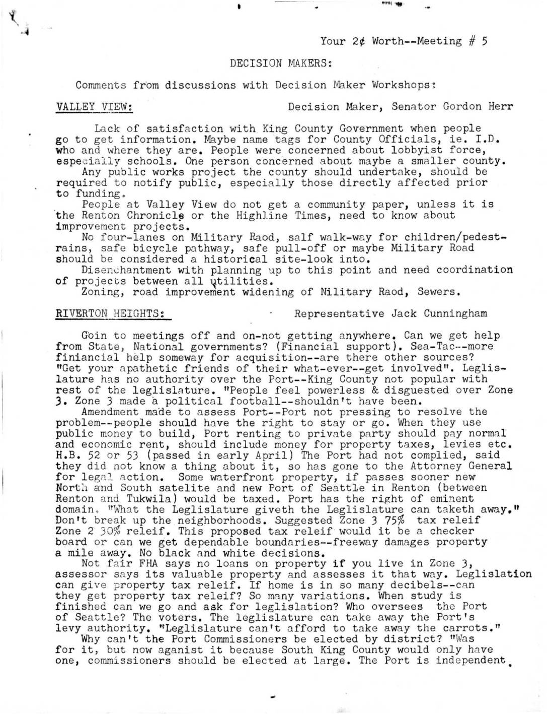
Your 2¢ Worth Meeting #5: Decision Maker Workshop Comments
Notes from a 1973 community meeting series capture residents near Sea-Tac Airport expressing frustration over airport noise, inadequate government responsiveness, and the handling of Zone 3 acquisition areas. Participants from neighborhoods including Riverton Heights, Valley View, Shorewood, and Des Moines called for fair property tax relief, equitable land acquisition at market value, and better coordination among King County, the Port of Seattle, and state legislators. The document reflects widespread public distrust of the planning process and demands for more transparent, community-informed decision-making on airport expansion and noise impacts.