TagFactSheet(10)
-
 2025-05-17
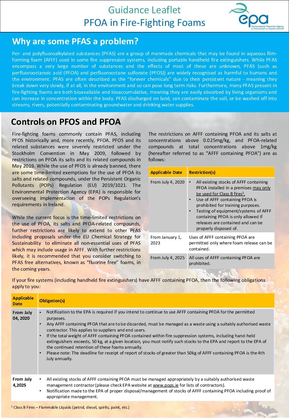
Guidance Leaflet: PFOA in Fire-Fighting Foams
This guidance document from Ireland's Environmental Protection Agency explains the regulations around PFAS chemicals — particularly PFOA and PFOS — found in aqueous film-forming foam (AFFF) used in fire suppression systems and extinguishers. It outlines a phased timeline of restrictions, culminating in a full ban on AFFF containing PFOA by July 4, 2025, and details the steps organizations must take to check their systems, notify the EPA, and properly dispose of non-compliant foams. Businesses holding more than 50 kg of such foam at any location are required to report their stockpiles annually to the EPA via its EDEN portal. -
 2022-08-27
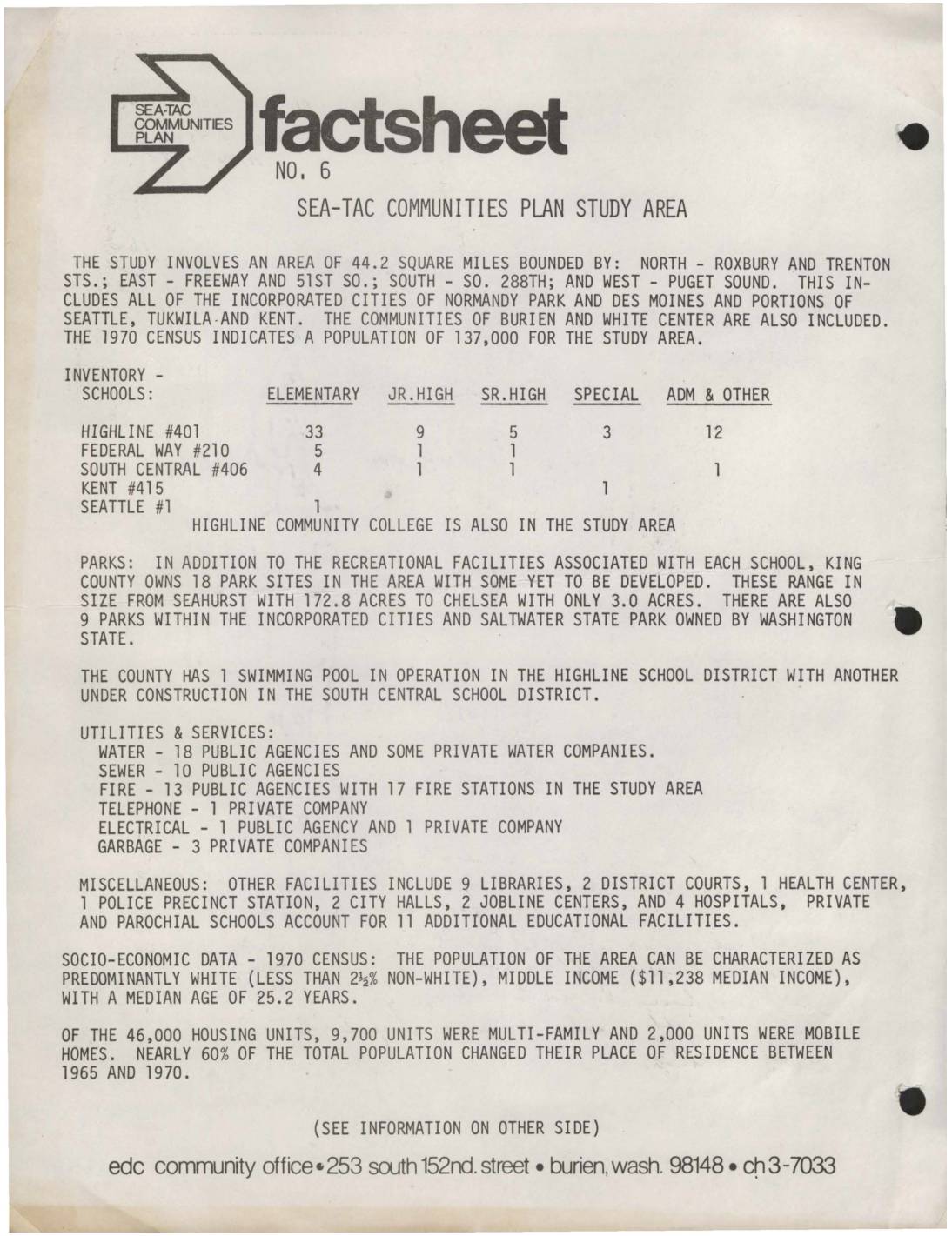
Sea-Tac Communities Plan Fact Sheet No. 6: Study Area Overview
This 1973 fact sheet from the Sea-Tac Communities Plan describes a 44.2-square-mile study area surrounding Seattle-Tacoma International Airport, covering communities including Burien, White Center, Normandy Park, and Des Moines, with a 1970 population of 137,000. The document inventories local schools, parks, utilities, and services in the region, and provides socioeconomic data showing a predominantly white, middle-income population with a median household income of $11,238. The plan was jointly sponsored by King County and the Port of Seattle with the goal of maximizing compatibility between the airport and its surrounding communities. -
 2000-09-01
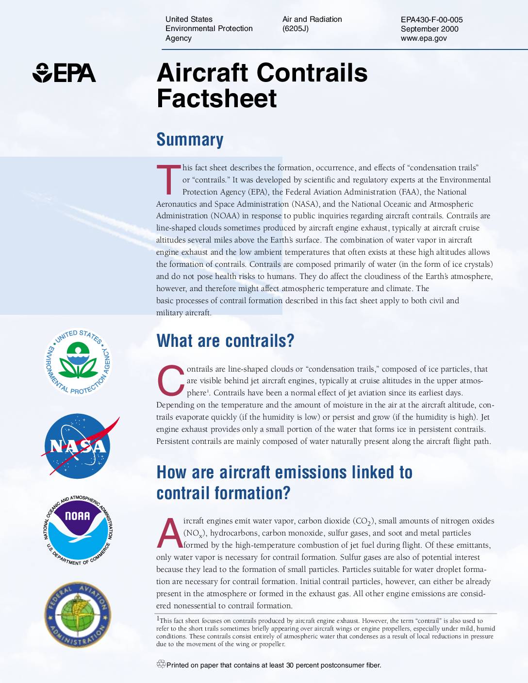
Aircraft contrails factsheet
This EPA fact sheet explains that aircraft contrails are line-shaped clouds made of ice crystals formed when water vapor in jet engine exhaust mixes with cold air at high altitudes. Contrails are composed primarily of water and do not pose direct health risks, but persistent contrails can spread into cirrus cloud cover and may influence the Earth's climate by affecting atmospheric cloudiness. Scientists estimate that persistent contrails cover about 0.1 percent of the Earth's surface on average, with the highest concentrations occurring over heavily trafficked air corridors like Europe and the United States. -
 1994-03-01
Seattle-Tacoma International Airport: Airport Noise Reduction Programs
Seattle-Tacoma International Airport operates one of the nation's most comprehensive airport noise management programs, divided into Noise Abatement measures — such as restricting noisy Stage 2 jets at night, controlling ground engine use, and routing flights over fewer homes — and Noise Remedy programs that help affected residents through home sound insulation, sales assistance, and a relocation program that has already moved over 3,900 people. The Port of Seattle also maintains a 24-hour noise complaint hotline and an 11-station monitoring system to track and reduce noise levels around the airport. Residents can contact the Port directly for information, to report concerns, or to learn about eligibility for free home insulation. -
 1993-03-31
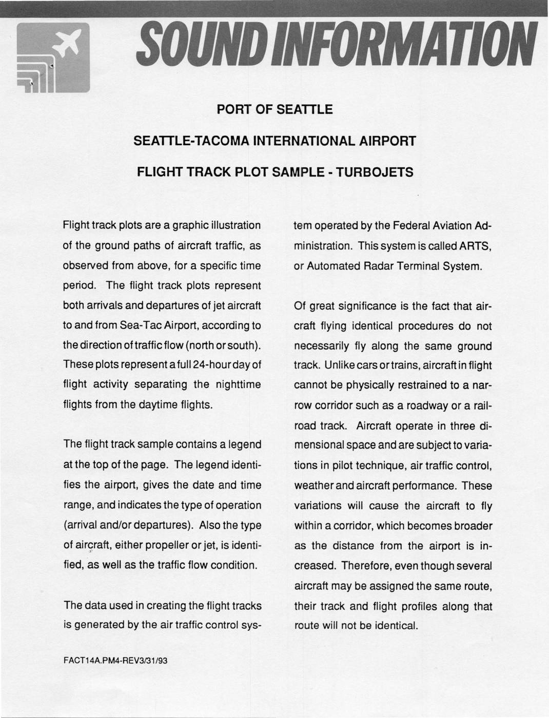
Port Of Seattle Sea-Tac Airport: Flight Track Plot Sample – Turbojets
This Port of Seattle document explains flight track plots for Seattle-Tacoma International Airport, which are overhead graphic illustrations showing the ground paths of arriving and departing jet aircraft over a 24-hour period, separated into daytime and nighttime operations for both north and south traffic flows. The data is sourced from the FAA's Automated Radar Terminal System (ARTS). Notably, the document emphasizes that even aircraft following identical routes will not fly the exact same path, as factors like pilot technique, air traffic control, weather, and aircraft performance cause flight corridors to widen with increasing distance from the airport. -
 1973-06-07
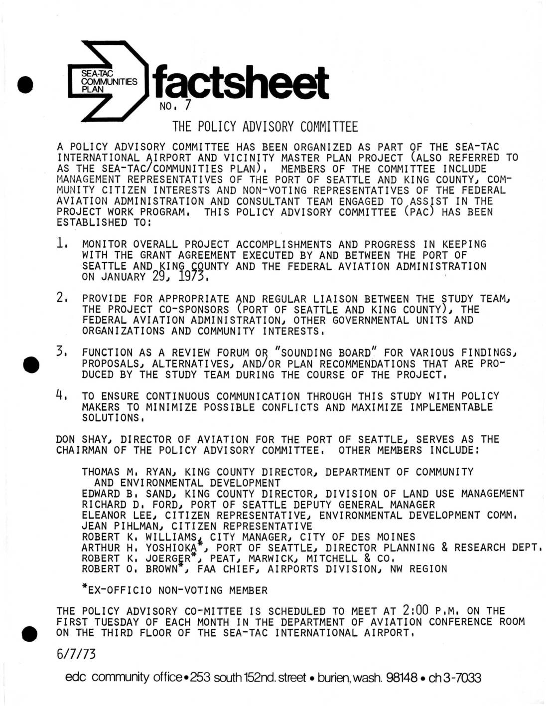
Sea-Tac Communities Plan Fact Sheet No. 7: The Policy Advisory Committee
These documents from 1973 describe the formation and early activities of the Policy Advisory Committee (PAC), established to oversee the Sea-Tac International Airport and Vicinity Master Plan Project. The committee brought together representatives from the Port of Seattle, King County, the FAA, and community citizens to monitor project progress, facilitate communication between stakeholders, and review study findings related to noise, land use, and environmental impacts. Regular monthly meetings and community task forces on topics such as noise abatement and drainage were organized to maximize public involvement in shaping airport policy. -
 1973-05-02
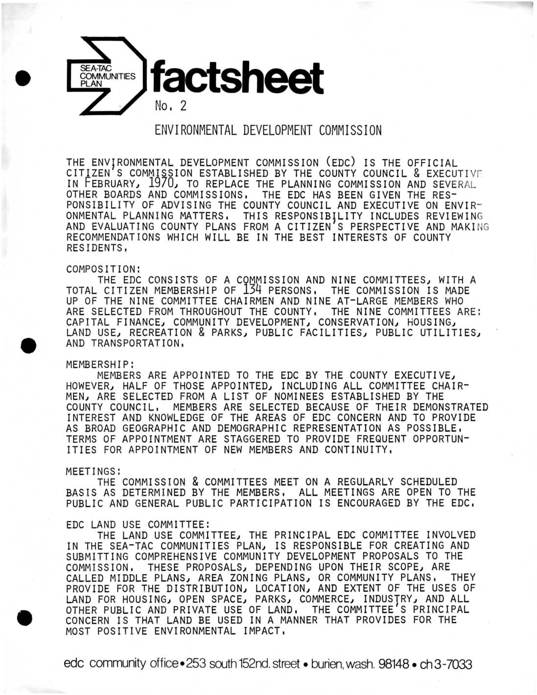
Fact Sheet No. 2: Environmental Development Commission
The Environmental Development Commission (EDC) is an official citizens' advisory body established by King County in February 1970 to replace the Planning Commission and advise the County Council and Executive on environmental planning matters. It consists of 134 citizen members organized into nine committees, including a Land Use Committee that plays a central role in the Sea-Tac Communities Plan by developing proposals governing how land is used for housing, commerce, industry, and open space. All EDC meetings are open to the public, and the commission's overarching goal is to ensure land use decisions provide the most positive environmental impact for county residents. -
 1973-05-01
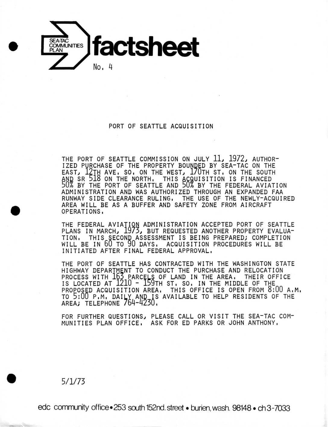
Fact Sheet No. 4: Port Of Seattle Acquisition
In July 1972, the Port of Seattle Commission authorized the purchase of property around Sea-Tac Airport, bounded by 12th Ave. S., 170th St., and SR 518, to serve as a buffer and safety zone from aircraft operations. The acquisition is split equally between the Port of Seattle and the Federal Aviation Administration under an expanded FAA runway side clearance ruling. As of May 1973, a second property evaluation was underway, with acquisition procedures set to begin after final federal approval of the 163 affected parcels. -
 1973-04-20
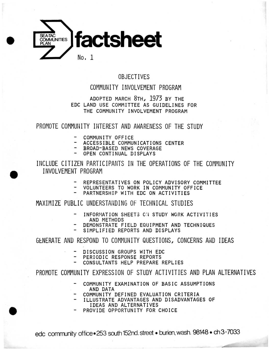
Sea-Tac Communities Plan Fact Sheets: Community Involvement Program Objectives, Environmental Development Commission, and Technical Advisory Committee
These fact sheets from 1973 outline the structure and goals of the Sea-Tac Communities Plan, a planning study focused on Sea-Tac International Airport and surrounding areas. The Community Involvement Program aimed to engage local residents through a community office, public displays, and citizen representation on advisory committees. Technical oversight was provided by the Technical Advisory Committee (TAC), which brought together representatives from local, state, and federal agencies—including the FAA, EPA, Boeing, and area school districts—to coordinate planning efforts and review recommendations. -
 1973-04-20
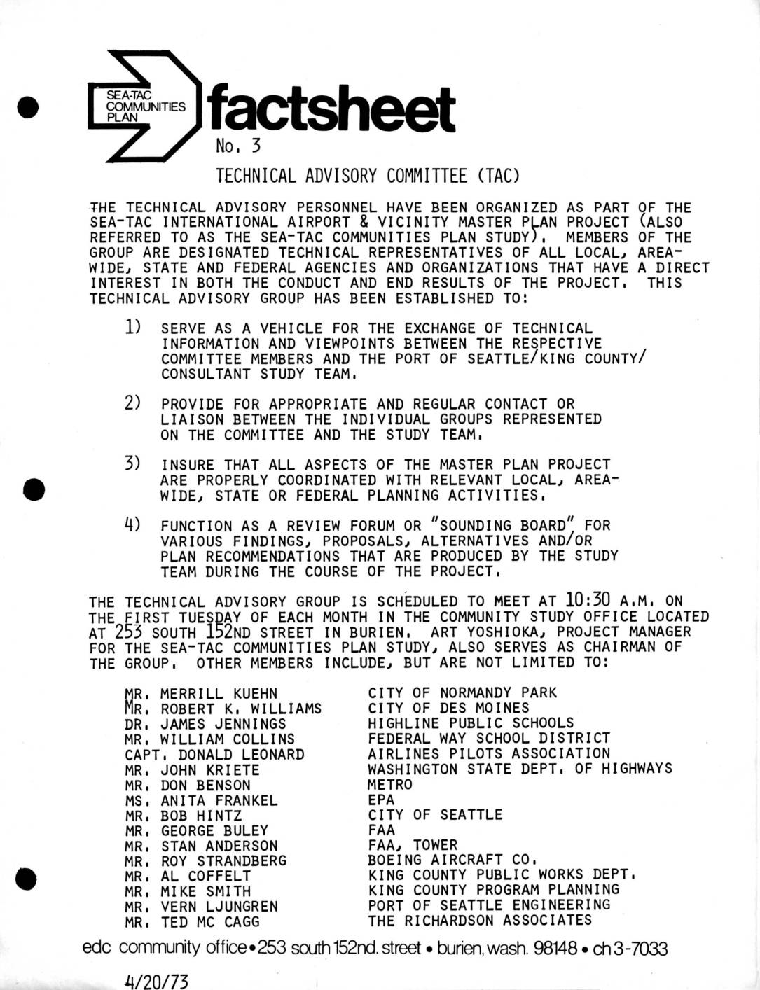
Fact Sheet No. 3: Technical Advisory Committee (TAC)
This April 1973 fact sheet describes the formation of the Technical Advisory Committee (TAC), a group of representatives from local, state, and federal agencies organized as part of the Sea-Tac International Airport & Vicinity Master Plan Project. The TAC was established to exchange technical information, coordinate planning activities, and serve as a review forum for proposals and recommendations developed by the study team. The committee, chaired by project manager Art Yoshioka, included representatives from the FAA, EPA, Boeing, King County, the City of Seattle, and several other regional agencies and organizations, meeting monthly at the community study office in Burien, Washington.