TagHCP(8)
-
 2022-08-28
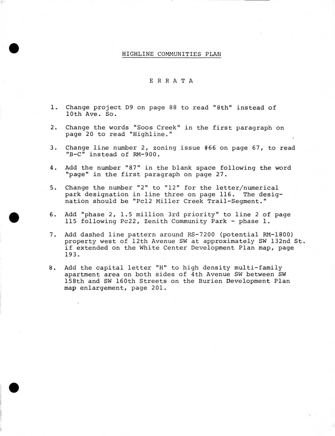
Highline Communities Plan: Errata and Adopted HCP Modifications
This document contains official corrections and modifications to the Highline Communities Plan, a land-use planning document for communities near Sea-Tac Airport in King County, Washington. It addresses errata such as street name corrections, zoning designation changes, and map updates, as well as adopted modifications related to hazard area development, Planned Unit Developments (PUDs), and a notable recognition of Boeing's proposed corporate headquarters on Port of Seattle property west of Sea-Tac Airport. The modifications also acknowledge that an environmental impact statement was being prepared by King County regarding the Boeing proposal, while community input had not yet been formally gathered. -
 2022-08-27
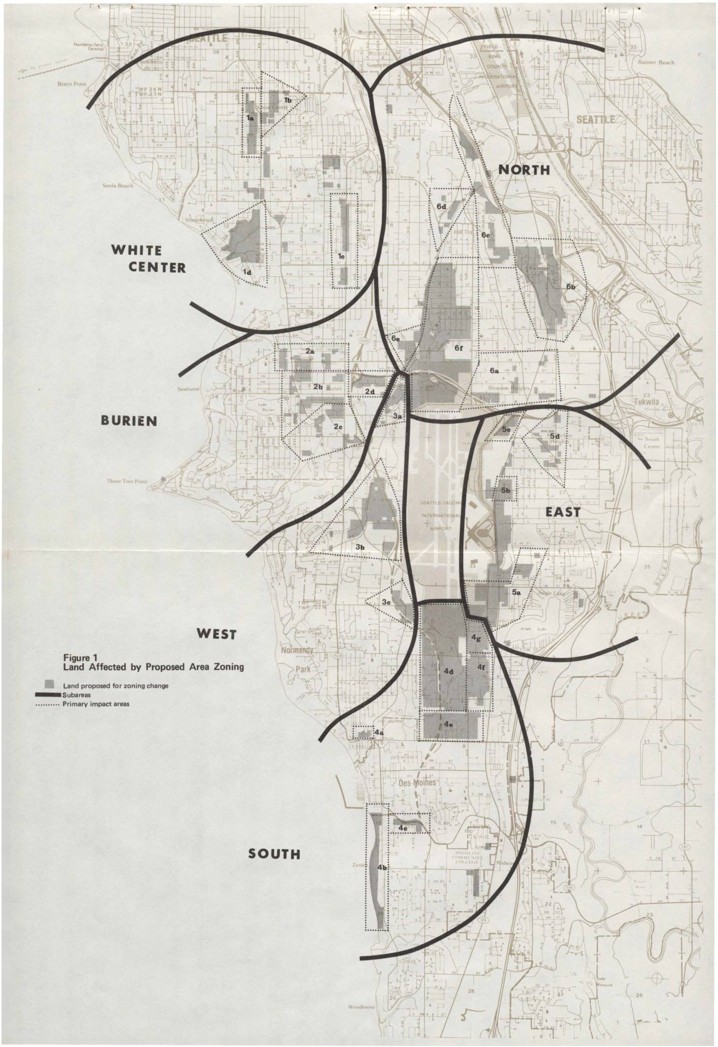
HCP Draft EIS Maps: Land Affected by Proposed Area Zoning and Proposed Changes in Residential and Nonresidential Zones
These three maps outline proposed area zoning changes in communities surrounding Seattle-Tacoma International Airport, including White Center, Burien, and nearby neighborhoods. The plans identify land targeted for rezoning across residential categories (such as downzoning to single-family or upzoning to multi-family) as well as nonresidential categories (including airport open use, manufacturing, commercial, and air terminal-related business). Dotted boundaries mark primary impact areas around the airport, reflecting efforts to align land use policy with airport noise and operational concerns. -
Westside Hilltop v. King County
Westside Hilltop v. King County 96 Wn.2d 171 (1981) 634 P.2d 862 WESTSIDE HILLTOP SURVIVAL COMMITTEE, ET AL, Appellants, v. KING COUNTY, ET AL, Respondents. No. 46982-2. The Supreme Court of Washington, En Banc. October 8, 1981. *172 Roger M. Leed and Jeffrey M. Eustis, for appellants. Norm Maleng, Prosecuting Attorney, and Susan R. Agid, -
 1980-01-01
Highline Community Plan: Proposed Area Zoning
★This January 1980 King County Division of Planning report proposes new zoning maps for the Highline community, located south of Seattle between I-5 and Puget Sound, to implement the Highline Communities Plan adopted in December 1977. The plan translates land use policies into specific zoning classifications covering topics such as mixed-use development, mobile home development, an Airport Open Use Zone, and landscaping guidelines. It applies only to unincorporated King County areas and was subject to public community meetings and hearings before adoption by the County Council. -
 1977-12-09
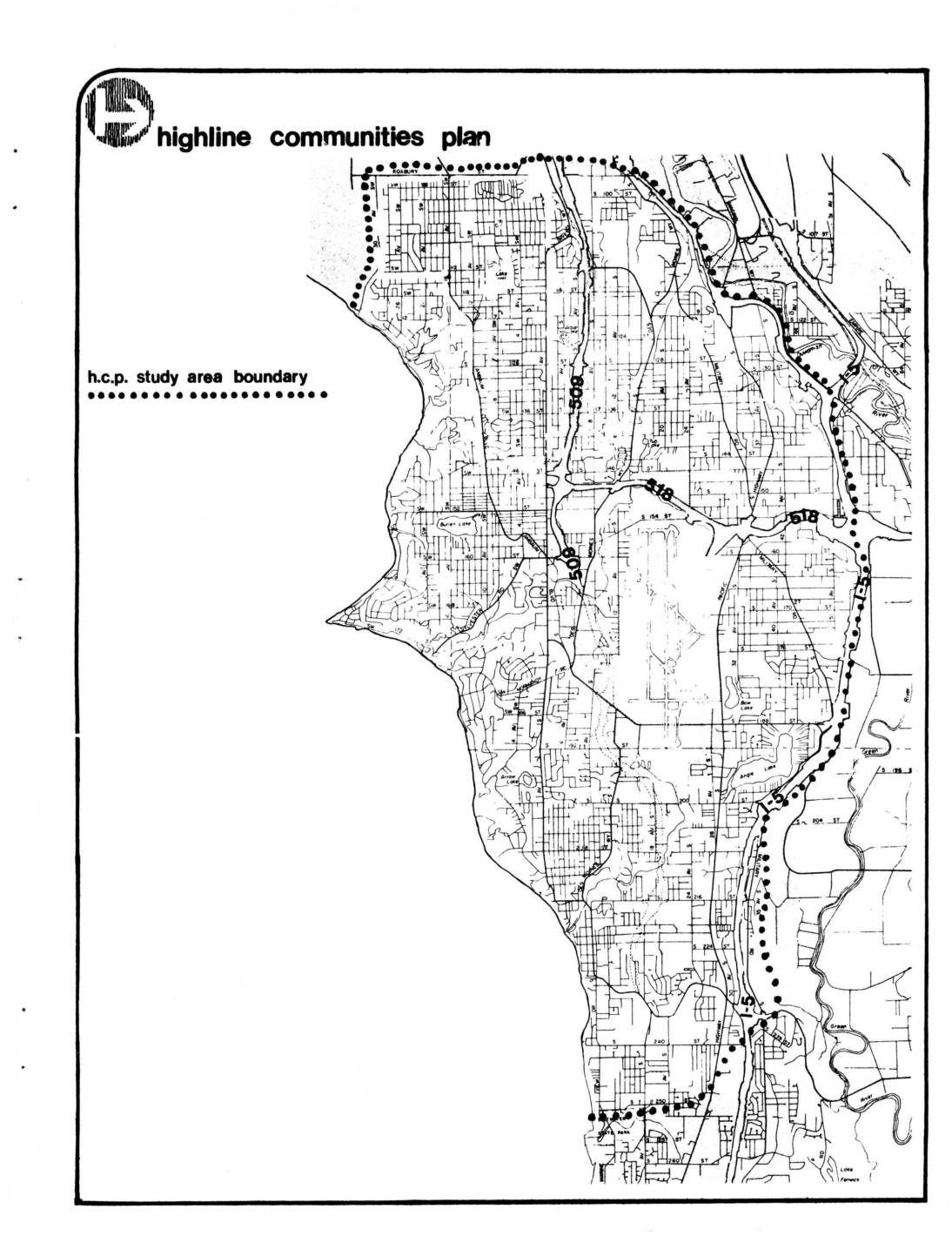
Highline Communities Plan: Final Environmental Impact Statement
The Highline Communities Plan (HCP) is a King County land use and zoning proposal covering the area between Puget Sound and Interstate 5, from the City of Seattle south to South 252nd Street, including Des Moines and Normandy Park. Prepared by the King County Department of Planning and Community Development and issued in draft form in April 1977, the plan was intended to guide land use policy, area zoning, capital improvements, and housing programs for the Highline Communities Planning Area. Upon adoption, it became the official county policy framework for this coastal suburban region located adjacent to what is now Sea-Tac Airport. -
 1977-11-01
Highline Community Plan
The Highline Community Plan, published by the King County Planning Division in November 1977, outlines land use policies and development guidelines for the Highline communities in unincorporated King County near Seattle. The plan addresses topics including development limitations, drainage and pollution, neighborhood stability, transportation, and parks and recreation. It was developed through a structured community planning process under the King County Department of Planning and Community Development. -
 1977-04-29
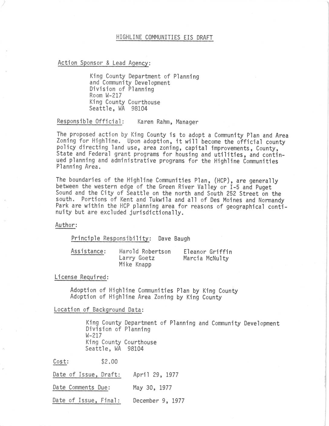
Highline Communities EIS Draft
The Highline Communities EIS Draft, prepared by King County Department of Planning and Community Development in 1977, proposes the adoption of a Community Plan and Area Zoning for the Highline area southwest of Seattle. The plan is intended to guide land use, capital improvements, housing, and utilities policy for communities including Burien, White Center, Des Moines, and Normandy Park. Upon adoption, it would become an element of the King County Comprehensive Plan, with expected benefits including pollution control, improved transportation, and economic stability for the region. -
 1976-02-01
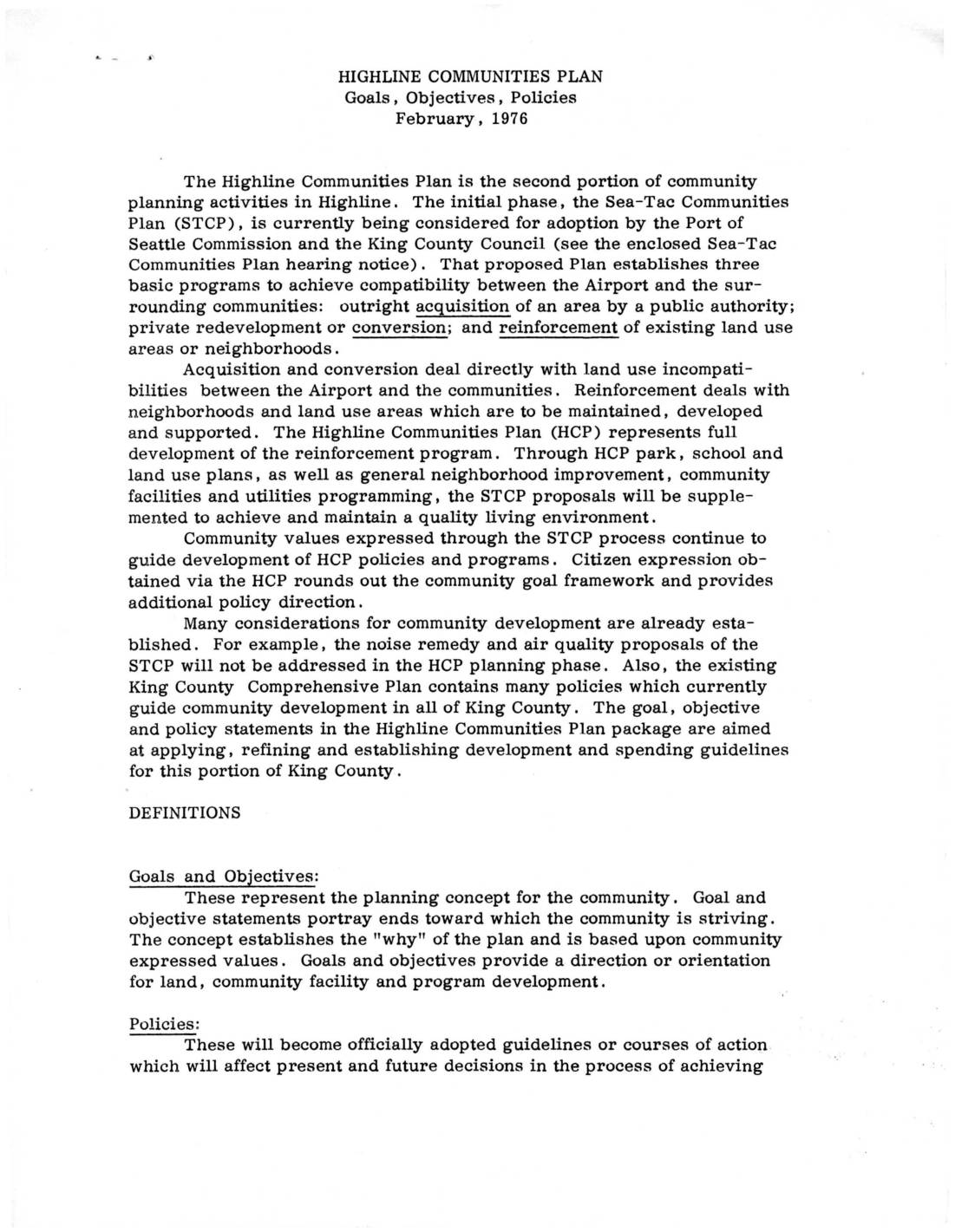
Highline Communities Plan: Goals, Objectives, Policies
The Highline Communities Plan (1976) is a King County planning document that builds on the Sea-Tac Communities Plan to improve neighborhoods surrounding Sea-Tac Airport. It establishes goals, policies, and implementation actions covering drainage, pollution, natural resource protection, and land use to support communities that are to be maintained rather than acquired or redeveloped due to airport noise impacts. The plan outlines specific measures such as sanitary sewering, surface water management, and open space preservation to achieve a quality living environment in the Highline area.