TagKing County(422)
-
 1974-01-06
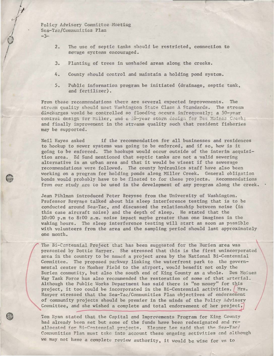
Policy Advisory Committee meeting, Sea-Tac-Communities Plan
This document summarizes a Policy Advisory Committee meeting for the Sea-Tac/Communities Plan, covering recommendations to improve local creek water quality through sewer hookups, tree planting, and holding ponds. It also describes a University of Washington study on how nighttime aircraft noise disrupts sleep for residents near Sea-Tac Airport. Additionally, a proposed Bi-Centennial parkway project linking Burien's waterfront to the airport was presented, with a request for the committee's full endorsement. -
 1973-07-01
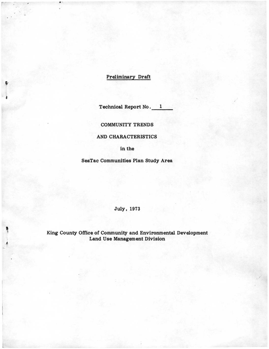
Community trends and characteristics in the SeaTac Communities Plan Study Area
This 1973 preliminary technical report, prepared by the King County Office of Community and Environmental Development, examines community trends and characteristics in the SeaTac Communities Plan Study Area. It covers population and enrollment, housing, and economy and employment data, with a forecasts section noted as still to be written at the time of publication. The report serves as an early planning document providing baseline demographic and economic context for the communities surrounding Seattle-Tacoma International Airport. -
 1973-06-21
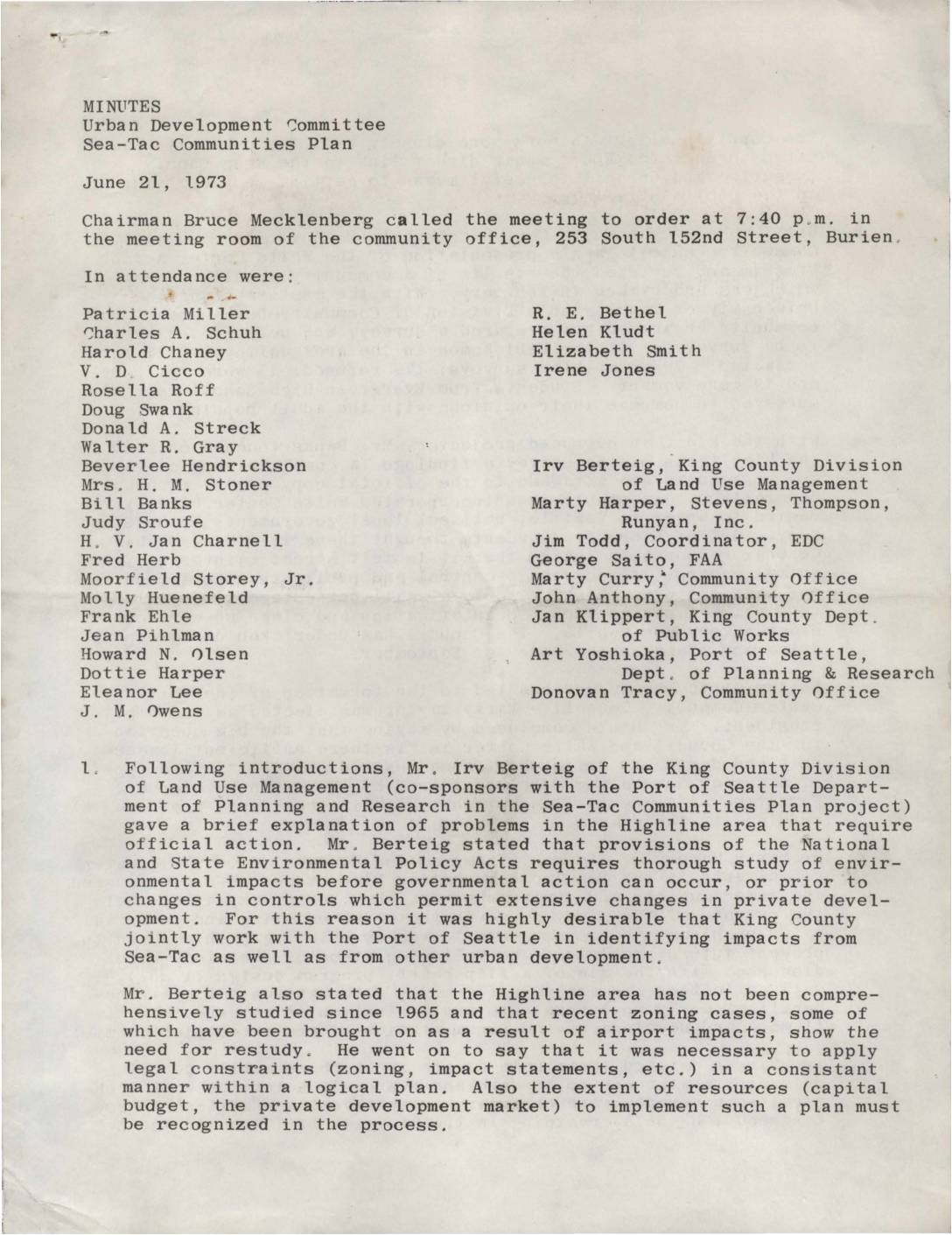
Minutes: Urban Development Committee, Sea-Tac Communities Plan
Minutes from a June 21, 1973 Urban Development Committee meeting on the Sea-Tac Communities Plan, held in Burien, Washington. The meeting covered the need for updated environmental and zoning studies in the Highline area due to airport impacts, a community opinion survey from White Center residents, and a water quality and drainage study. Officials discussed developing a focused 'middle plan' for the Highline area to better address local needs and airport-related land use challenges. -
 1973-05-02
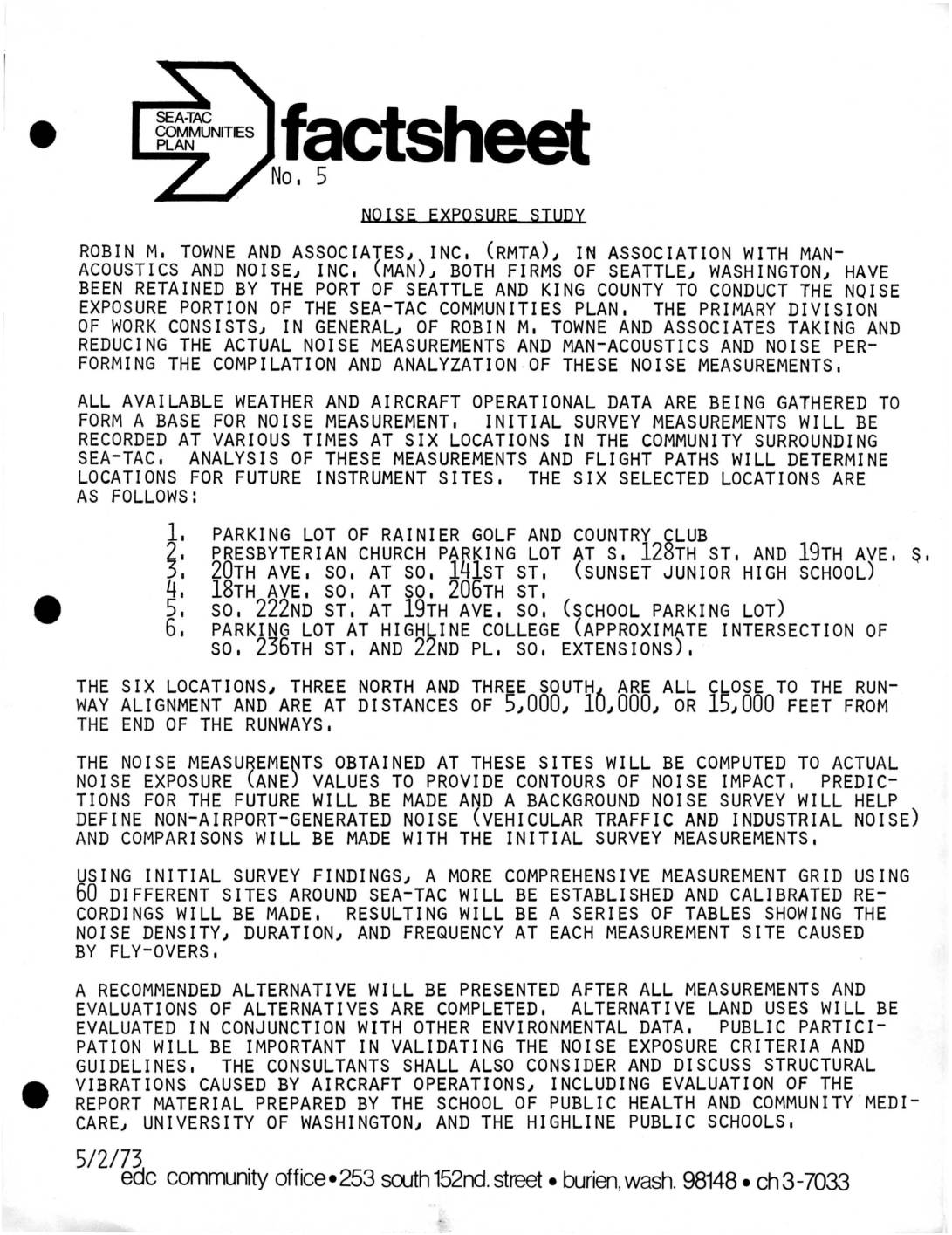
Sea-Tac Communities Plan Fact Sheet No. 5: Noise Exposure Study
This 1973 fact sheet describes a noise exposure study commissioned by the Port of Seattle and King County to measure aircraft noise impacts around Seattle-Tacoma International Airport. Two Seattle firms, Robin M. Towne and Associates and Man-Acoustics and Noise, Inc., conducted measurements at six community locations ranging from 5,000 to 15,000 feet from the runway ends, with plans to expand to 60 sites. The study aimed to produce noise exposure contours, future noise predictions, and alternative land-use recommendations, while also accounting for non-airport noise sources and structural vibrations caused by aircraft operations. -
 1973-04-15
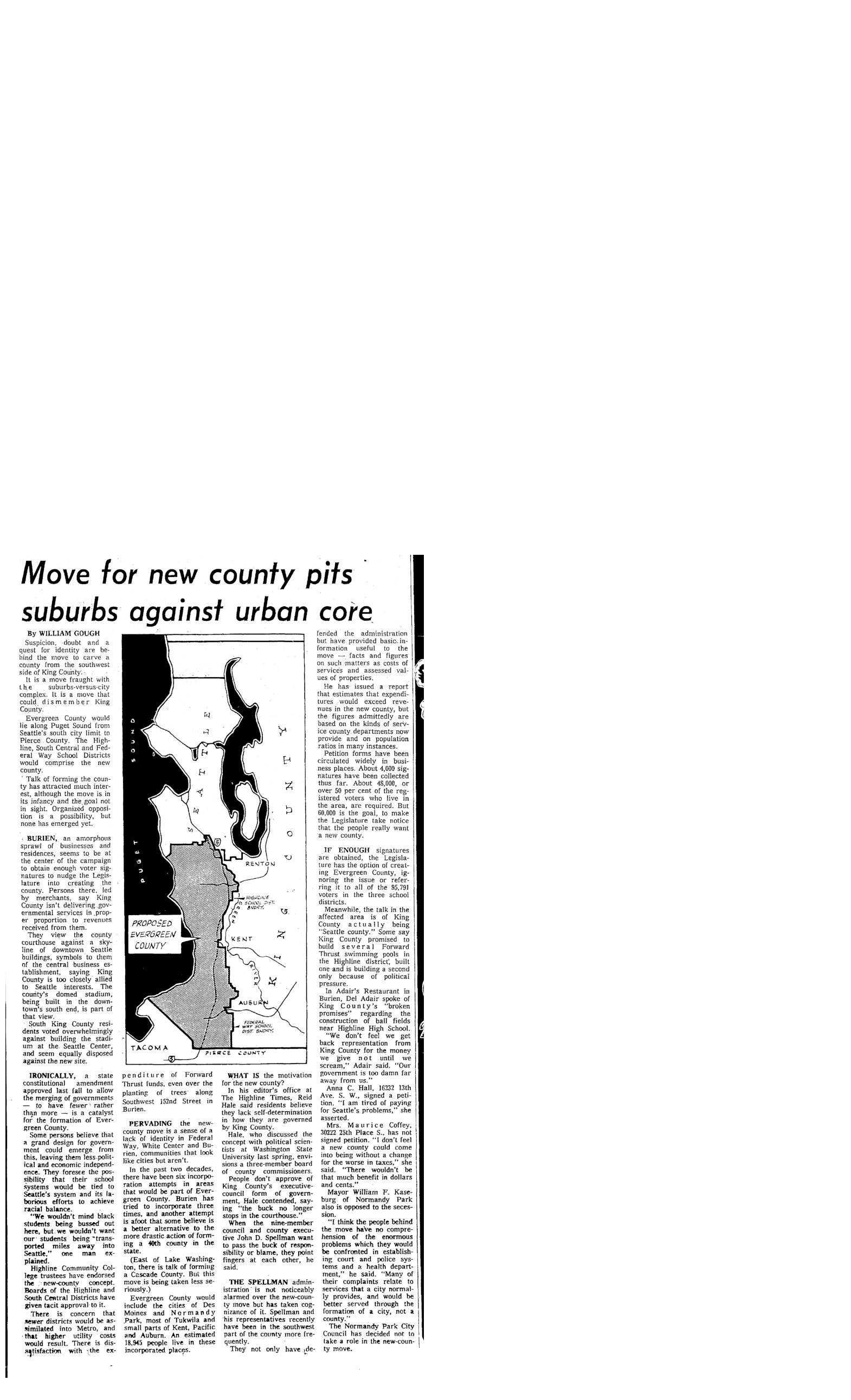
Move for new county pits suburbs against urban core
A movement in the early 1970s sought to carve a new 'Evergreen County' from the southwestern portion of King County, pitting suburban communities like Burien, Federal Way, and Normandy Park against the Seattle-dominated urban core. Residents in the proposed area argued that King County was too closely tied to Seattle's interests and was failing to deliver government services proportionate to the taxes they paid. The effort, still in its infancy at the time of this article, required gathering roughly 60,000 voter signatures to compel the state Legislature to consider creating the new county. -
 1973-04-15
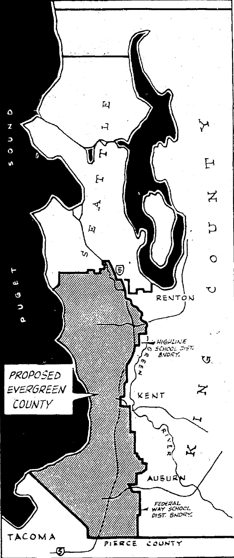
Proposed Evergreen County 1973-04-15
A black-and-white map depicting the 'Proposed Evergreen County,' a suggested new county to be carved from the southern portion of King County, Washington. The map shows boundaries relative to Seattle, Renton, Kent, Auburn, Tacoma, Pierce County, Puget Sound, the Green River, and references the Highline School District boundary and Federal Way School District boundary. -
 1973-03-01
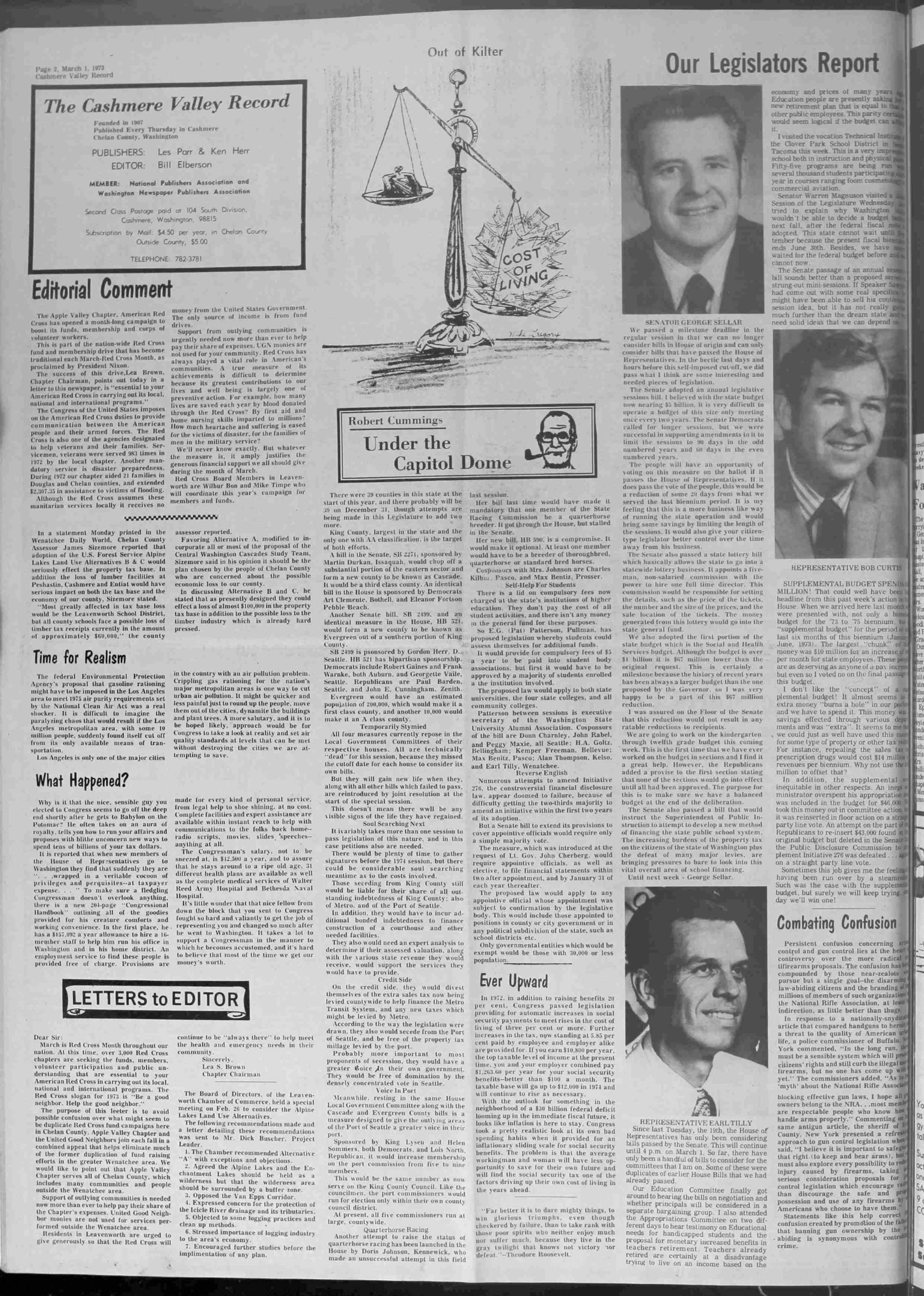
Cashmere Valley Record, March 1, 1973 — legislators report on Evergreen County bill, state lottery, Alpine Lakes, Red Cross
This March 1, 1973 edition of the Cashmere Valley Record covers Washington State legislative activity, including Senate passage of an annual sessions bill, a state lottery measure, and a supplemental budget. Local topics include the Alpine Lakes Land Use Alternatives debate and its potential economic impact on Chelan County's timber and tax base. The paper also features commentary on social security increases, gun control legislation, and a Red Cross fundraising appeal for Chelan County communities. -
 1973-01-01
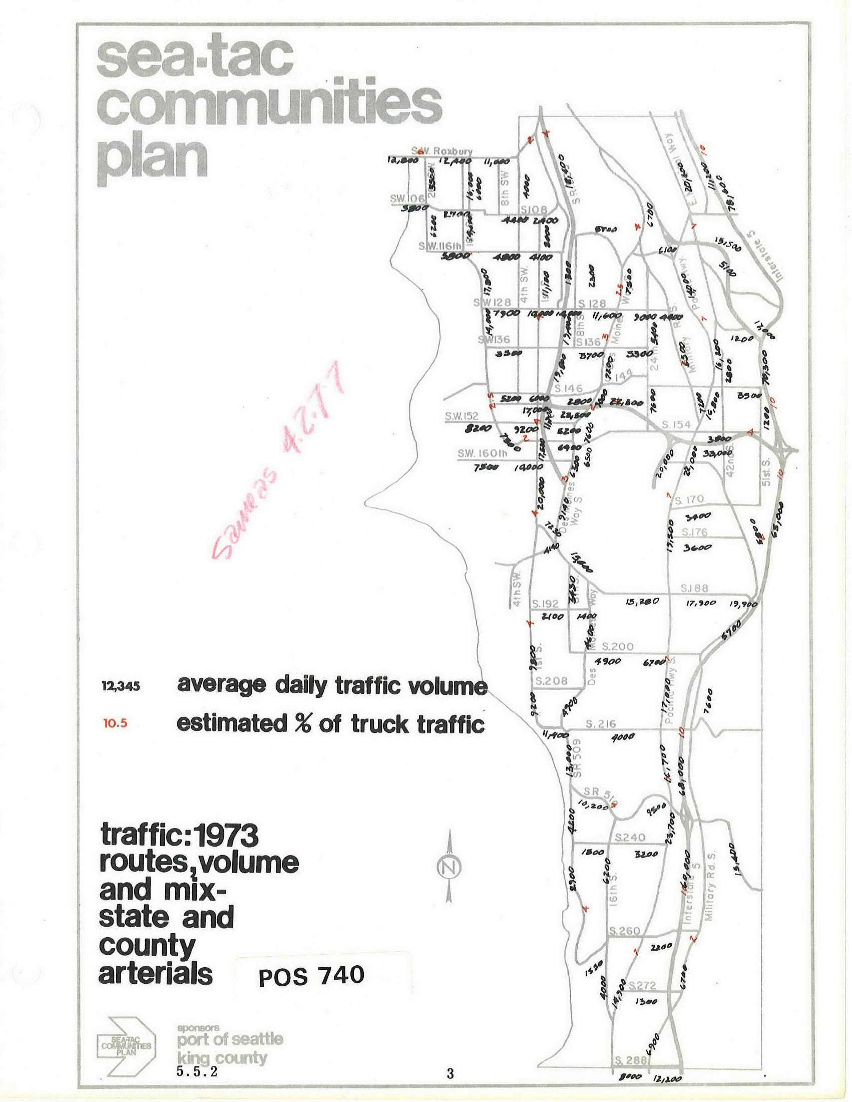
Sea-Tac Communities Plan: 1973 Average Daily Traffic Volumes on State and County Arterials
Map document from the Sea-Tac Communities Plan (document number POS 740, section 5.5.2) showing 1973 average daily traffic volumes and estimated truck traffic percentages on state and county arterials in the Sea-Tac area. Sponsored by the Port of Seattle and King County, the map displays street-level traffic counts across roads including SW 106th through S 288th, with a handwritten notation 'Savings 4,277' in red. -
 1973-01-01
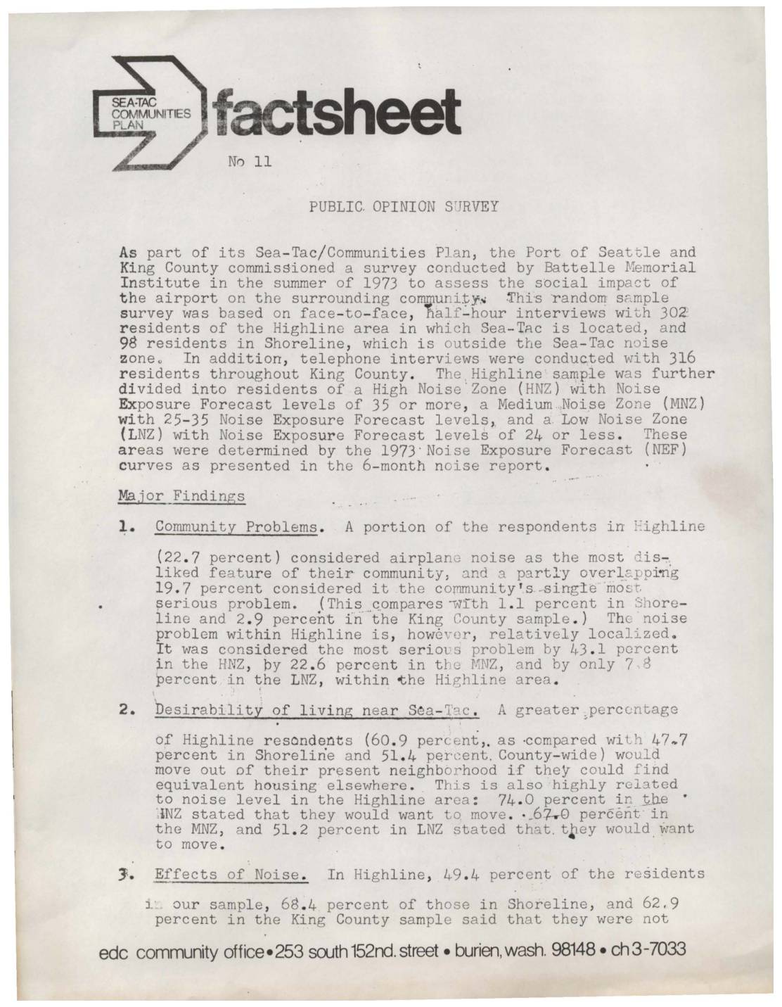
Public Opinion Survey: Sea-Tac Communities Plan Factsheet No. 11
A 1973 public opinion survey commissioned by the Port of Seattle and King County found that nearly one in five Highline-area residents considered airplane noise from Sea-Tac Airport their community's single most serious problem, with concern rising sharply among those living in the highest-noise zones. Highline residents were more likely to want to move than those in quieter comparison areas, though the survey also found that the Port of Seattle was viewed favorably by a strong majority across all groups surveyed. -
 1972-11-27
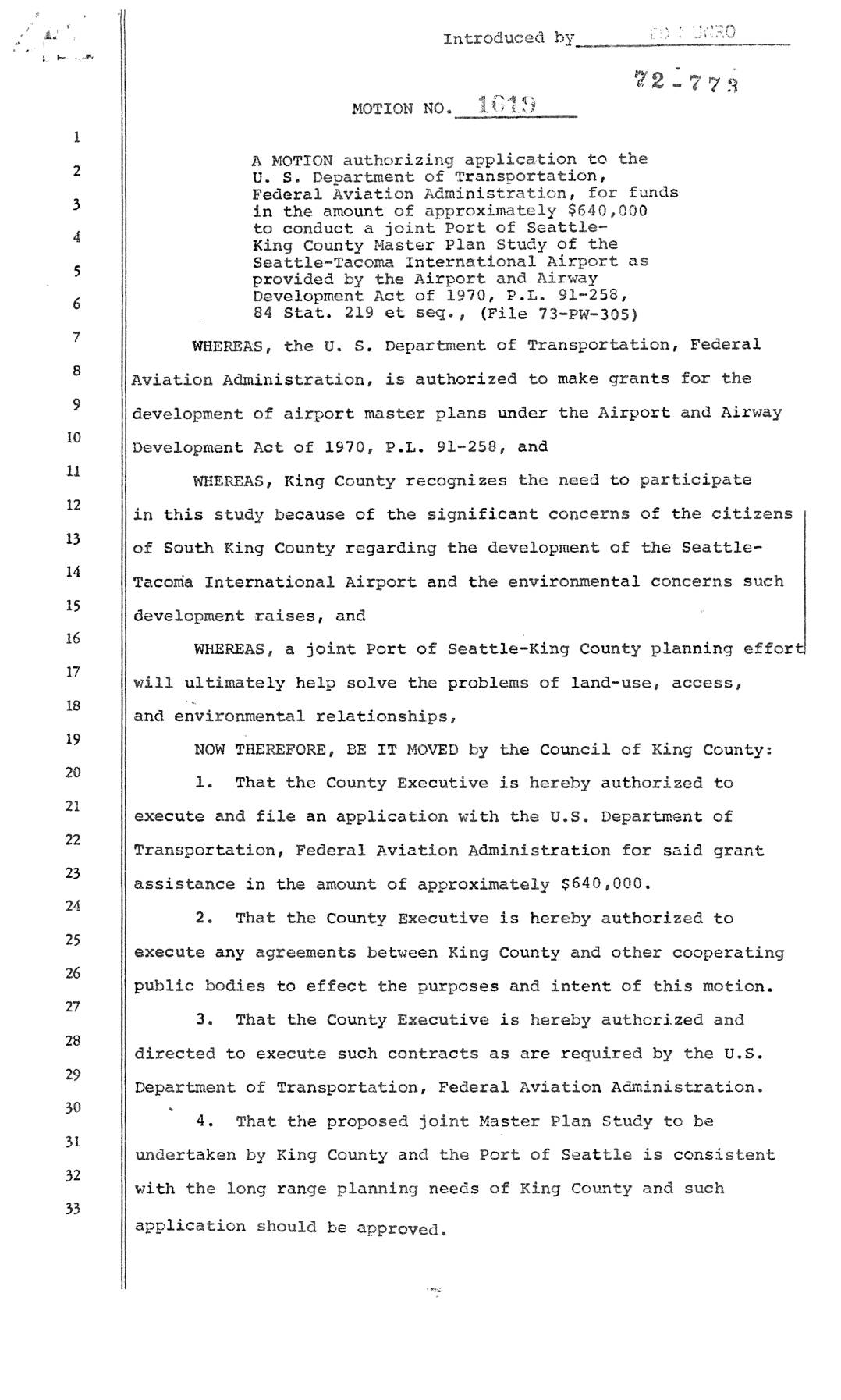
Motion No. 1019: Authorizing Application for Federal Aviation Administration Grant for Joint Port Of Seattle–King County Master Plan Study of Seattle-Tacoma International Airport
In November 1972, the King County Council passed Motion No. 1019, authorizing the County Executive to apply for approximately $640,000 in federal grant funding from the U.S. Department of Transportation's Federal Aviation Administration. The funds were intended to support a joint Port of Seattle–King County Master Plan Study of Seattle-Tacoma International Airport, prompted by citizen concerns in South King County about airport expansion and its environmental impacts. The motion also authorized the County Executive to enter into agreements with other public bodies and execute any contracts required by the FAA to carry out the study.