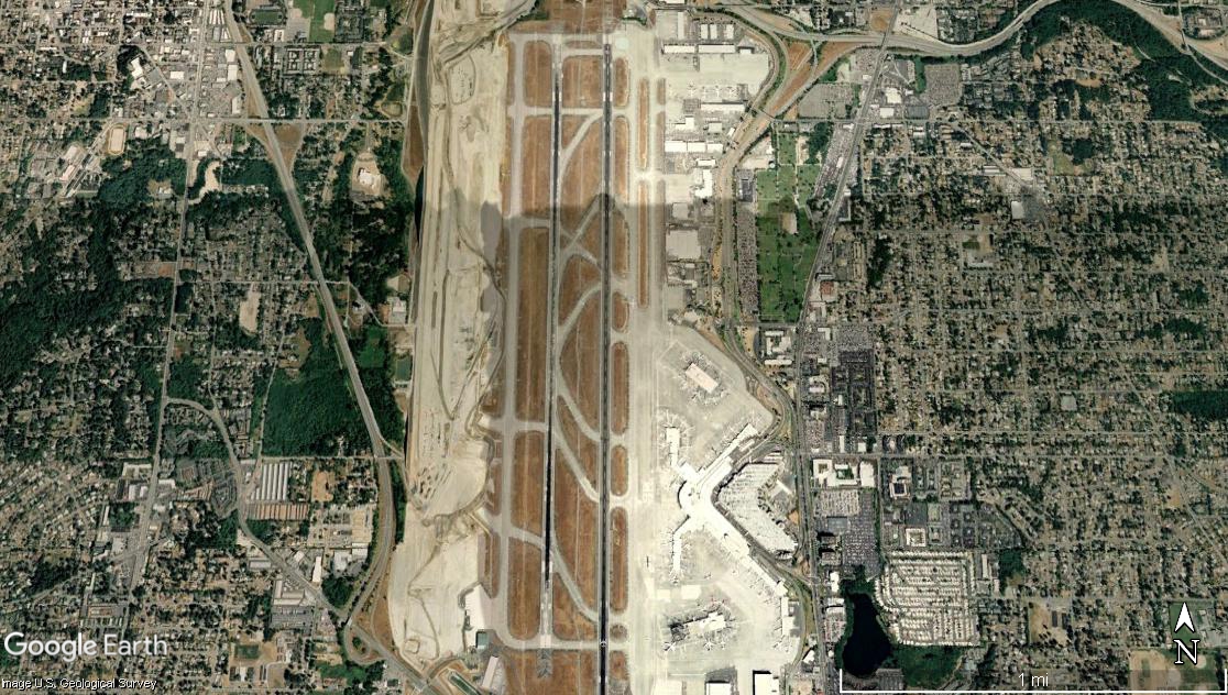
Google Earth satellite image of Seattle-Tacoma International Airport (Sea-Tac), showing its parallel runway configuration, terminal complex on the east side, and surrounding suburban neighborhoods in King County, Washington. The image is credited to Google Earth and the U.S. Geological Survey, with a scale bar indicating approximately 1 mile.Open full document
Notes
Google Earth satellite image of Seattle-Tacoma International Airport (Sea-Tac), showing its parallel runway configuration, terminal complex on the east side, and surrounding suburban neighborhoods in King County, Washington. The image is credited to Google Earth and the U.S. Geological Survey, with a scale bar indicating approximately 1 mile.