TagKing County(422)
-
 2026-08-28
Housing & Human Services Background Report Appendices: Appendix A — Sea-Tac 2024 Comprehensive Plan Land Capacity Analysis Methodology and Results Report
This document is a Land Capacity Analysis Methodology Report prepared as part of SeaTac's 2044 Comprehensive Plan update, focusing on housing and jobs growth targets rather than airport noise policy. It outlines SeaTac's requirement to accommodate 5,900 new housing units and 14,810 new jobs between 2019 and 2044, with housing targets broken down by income levels based on King County's Area Median Income (AMI). The report addresses affordable housing planning requirements under Washington State law, including provisions for permanent supportive housing and emergency housing for vulnerable populations. -
 2026-08-28
Housing & Human Services Background Report Appendices: Appendix A — Sea-Tac 2024 Comprehensive Plan Land Capacity Analysis Methodology and Results Report
This document is a Land Capacity Analysis Methodology Report prepared as part of SeaTac's 2044 Comprehensive Plan update, focusing on housing and jobs growth targets rather than airport noise policy. It outlines SeaTac's requirement to accommodate 5,900 new housing units and 14,810 new jobs between 2019 and 2044, with housing targets broken down by income levels based on King County's Area Median Income (AMI). The report addresses affordable housing planning requirements under Washington State law, including provisions for permanent supportive housing and emergency housing for vulnerable populations. -
 2026-08-28
Chapter 9 Environment Background Report
This document is Chapter 9 of the City of SeaTac's Envision SeaTac 2044 Comprehensive Plan, focusing on the Environment Background Report. It outlines key reference materials used to support environmental goals and policies, including wetland surveys, flood insurance maps, and soil conservation data from agencies such as King County, the U.S. Department of the Interior, and FEMA. The report also notes that SeaTac incorporates environmental information from adjacent jurisdictions and other agencies into its local regulations as appropriate. -
 2026-08-28
Chapter 9 Environment Background Report
This document is Chapter 9 of the City of SeaTac's Envision SeaTac 2044 Comprehensive Plan, focusing on the Environment Background Report. It outlines key reference materials used to support environmental goals and policies, including wetland surveys, flood insurance maps, and soil conservation data from agencies such as King County, the U.S. Department of the Interior, and FEMA. The report also notes that SeaTac incorporates environmental information from adjacent jurisdictions and other agencies into its local regulations as appropriate. -
 2026-08-15
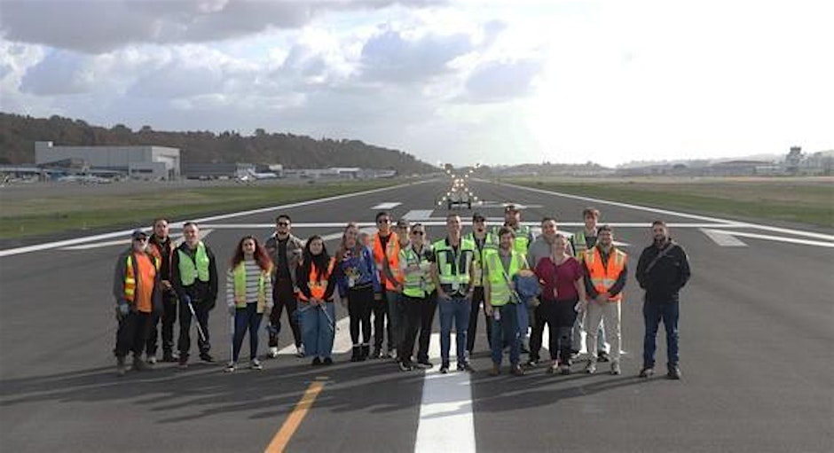
KCIA 2026 FOD Walk
Join Us for the KCIA 2026 FOD Walk! Get ready to step out and enjoy an awesome in-person event all about keeping our spaces clean and safe! The FOD Walk is a great chance to connect, learn, and have fun while helping out. Whether you’re a pro or just curious, everyone’s welcome to join the -
 2026-08-09
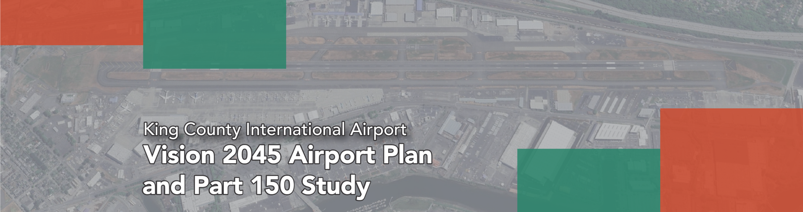
KCIA Vision 2045 Airport Plan and Part 150 Study
King County International Airport is planning for the future. Learn more about the Vision 2045 Airport Plan and the Part 150 Study and how to provide your input throughout the planning process. Help us plan for the future of King County International Airport King County International Airport (KCIA) is undertaking two important studies to plan -
2026-07-30
August Plane Talk: Boeing Seafair Air Show, New VFR Routes, and Airport News
Boeing Seafair Air Show runs today through Sunday The U.S. Navy Blue Angels during practice yesterday at King County International Airport-Boeing Field. The Boeing Seafair Air Show kicks off today and runs through Sunday. Along with the U.S. Navy Blue Angels, performers include Torrey Ward’s Microjet and the U.S. Marine Corps F-35B, a vertical takeoff -
 2026-07-15
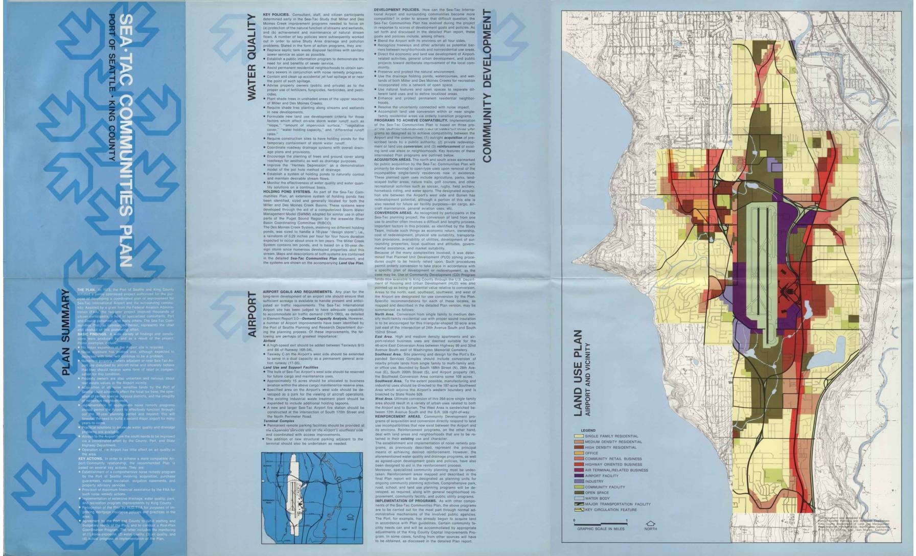
Sea-Tac Communities Plan: Plan Summary Brochure
The Sea-Tac Communities Plan, jointly developed by the Port of Seattle and King County beginning in 1973, outlines strategies to improve compatibility between Sea-Tac International Airport and surrounding neighborhoods, with a focus on aircraft noise remedies, water quality improvements, and land use conversion. The plan identifies specific areas for outright property acquisition, purchase guarantees, and noise insulation programs affecting thousands of homes north and south of the airport. It also establishes policies for drainage management, community development, and long-term airport facility improvements to accommodate projected air traffic growth through 1993. -
 2026-07-15
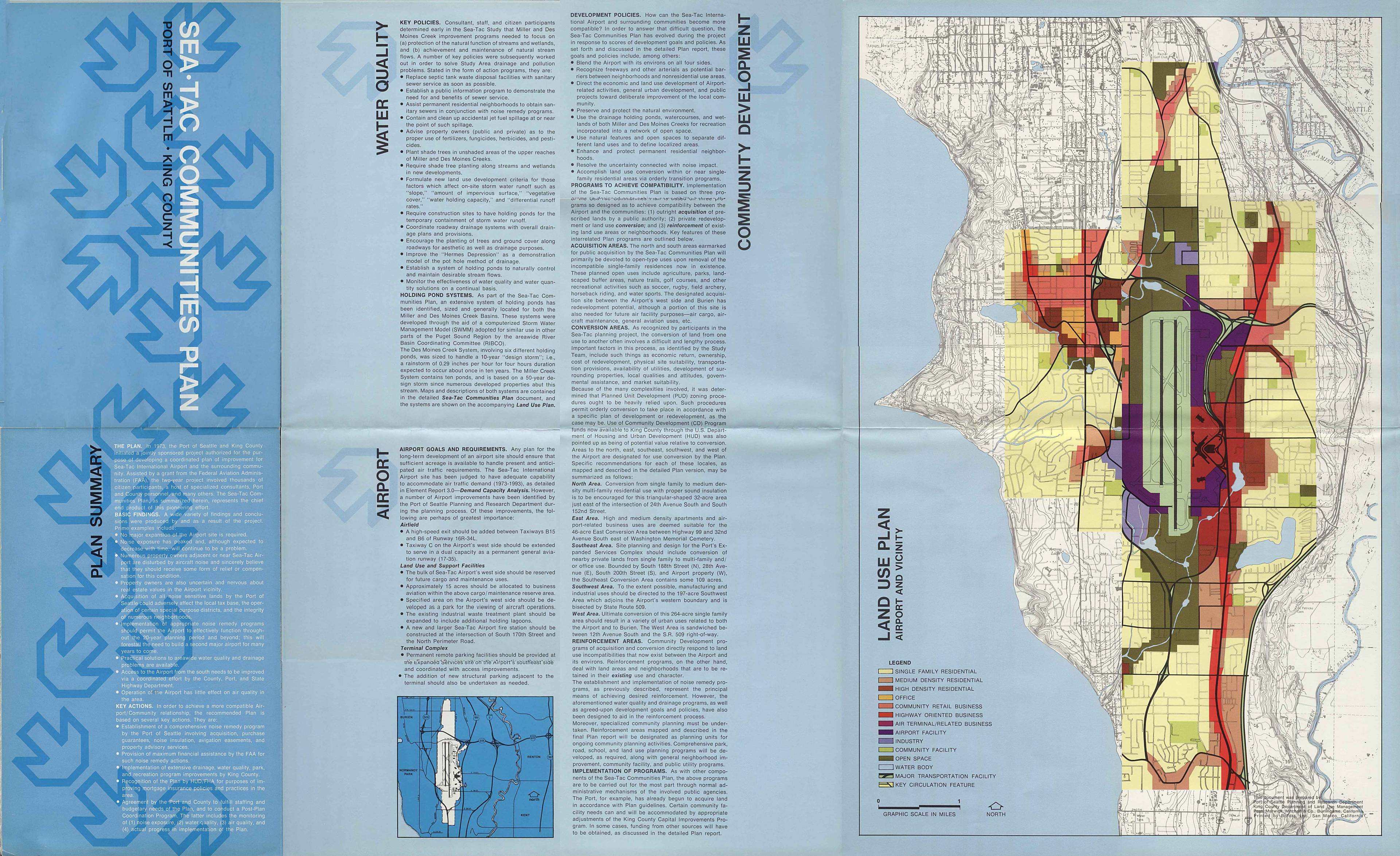
Sea-Tac Communities Plan: Water quality, airport, and community development
The Sea-Tac Communities Plan outlines strategies to improve compatibility between Seattle-Tacoma International Airport and surrounding neighborhoods, focusing on water quality, drainage, and land use. Key programs include public acquisition of noise-impacted residential areas for open space and recreation, conversion of single-family zones to higher-density or commercial uses, and reinforcement of existing neighborhoods through noise remedy and infrastructure improvements. The plan also addresses environmental concerns such as stream protection, holding pond systems for stormwater management, and pollution control near Miller and Des Moines Creeks. -
 2026-07-14
Sea-Tac Communities Plan: Map Supplement to Sixth Month Report — Community Trends and Characteristics, Land Use, Ground Transportation and Traffic, Aesthetic and Visual Characteristics, Natural Determinants
This document is a map supplement to the sixth-month element report for the Sea-Tac Communities Plan, a planning study sponsored by the Port of Seattle and King County and partially funded by a federal FAA grant. It covers five key topics—community trends and characteristics, land use, ground transportation and traffic, aesthetic and visual characteristics, and natural determinants—for the communities surrounding Seattle-Tacoma International Airport. The supplement includes 1970 census tract maps of the Sea-Tac area and an errata note correcting a data classification error for Census Tract 272 related to public assistance recipients.