TagSustainable Airport Master Plan(233)
-
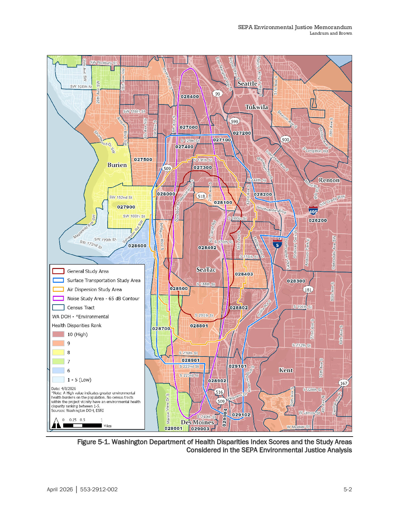
Appendix K SEPA Environmental Justice Disparities Map page 124
Figure 5-1 from a SEPA Environmental Justice Memorandum prepared by Landrum and Brown (document no. 553-2912-002, dated April 2026) maps Washington Department of Health Environmental Health Disparities Index scores across census tracts in the Sea-Tac Airport vicinity, including Seattle, Tukwila, Burien, SeaTac, Renton, Kent, and Des Moines. The map delineates four overlapping study areas—General Study Area, Surface Transportation Study Area, Air Dispersion Study Area, and Noise Study Area (65 dB contour)—over a background showing health disparity rankings ranging from 1–5 (Low) to 10 (High), with most tracts in the project vicinity ranked 9–10. -
 2026-06-16
Joint Burien Airport Committee & Des Moines Airport Advisory Committee Meeting
1. Call to Order 2. Business Agenda Sustainable Airport Master Plan (SAMP) Study Session Materials 3. Next Meeting Date The next regular meeting of the Burien Airport Committee will be July 21, 2026, at 6 p.m. 4. Adjournment Document Link -
 2026-06-16
Joint Burien Airport Committee & Des Moines Airport Advisory Committee Meeting Agenda
The Joint Burien Airport Committee and Des Moines Airport Advisory Committee held a meeting on June 16, 2026, with the primary agenda item being a study session on the Sustainable Airport Master Plan (SAMP), which relates to long-term planning for Seattle-Tacoma International Airport. The meeting was open to the public both in person at Burien City Hall and virtually via Zoom. The next scheduled meeting of the Burien Airport Committee was set for July 21, 2026. -
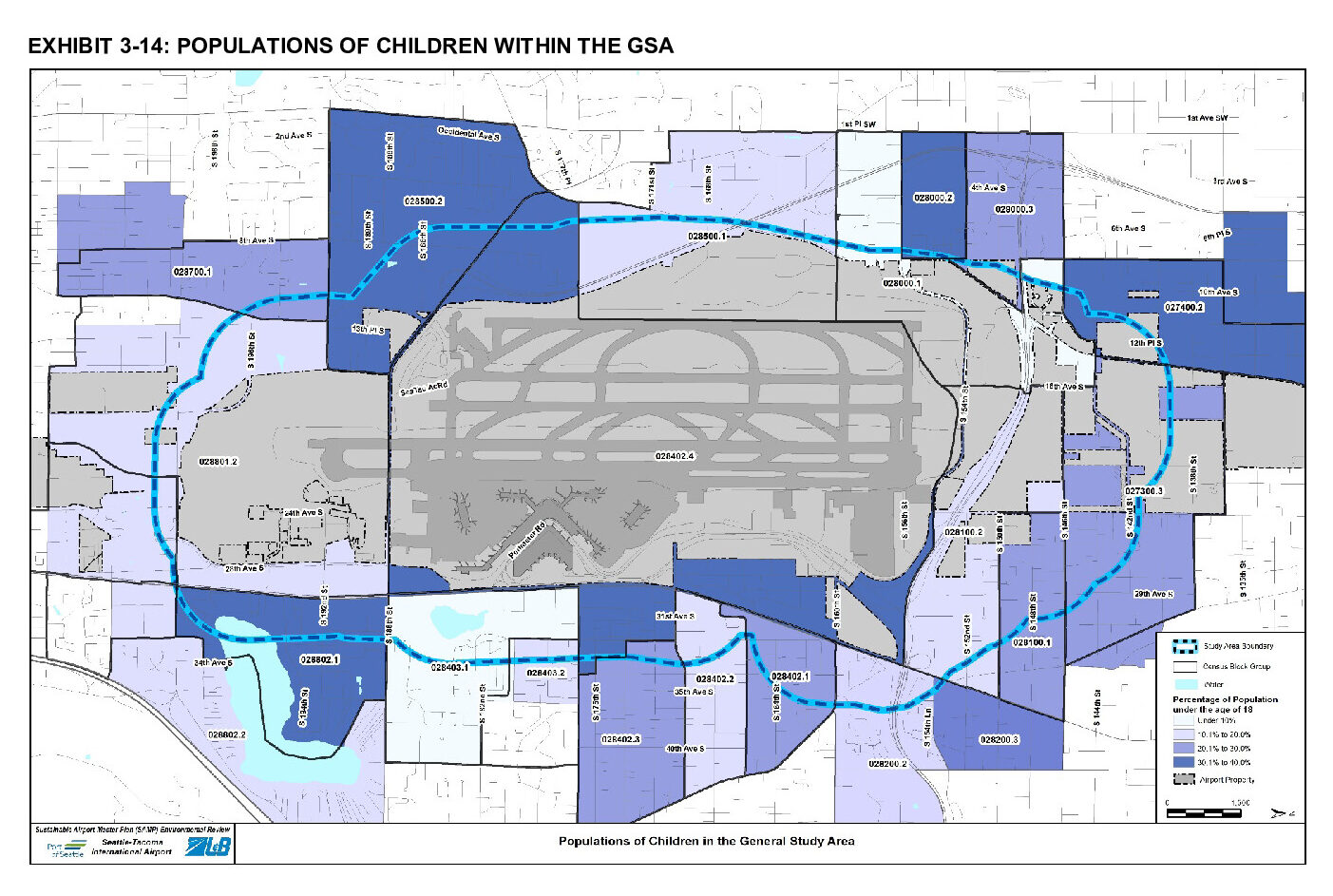
Appendix k socioeconomics environmental justice and children8217s health page 5
This map, from the Seattle-Tacoma International Airport Sustainable Airport Master Plan (SAMP) Environmental Review, shows census block group data on the percentage of population under age 18 within the General Study Area (GSA) surrounding Sea-Tac Airport. Shading indicates four tiers of child population density (under 10% through 30.1–40%), with the dashed blue line marking the study area boundary around the airport's runways and terminal facilities. -
 2026-06-08
KIRO7: Public weighs in on Port of Seattle Sustainable Airport Master Plan
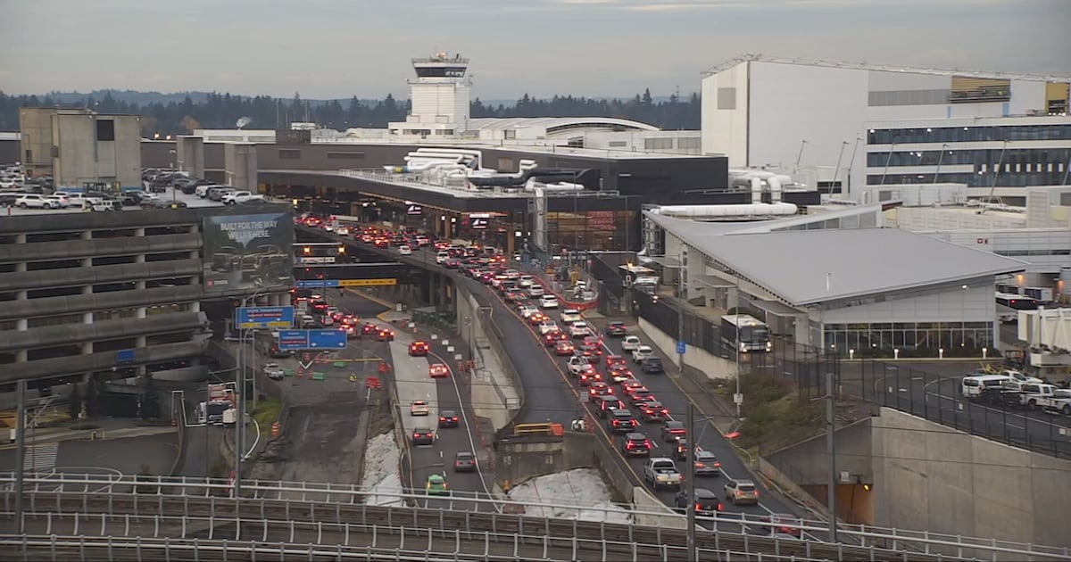
It’s no secret that the Puget Sound region is growing. To keep up with the increasing demands, The Port of Seattle created the Sustainable Airport Master Plan, a blueprint for Seattle-Tacoma International Airport to address the increasing volume of passengers and cargo. The public can now comment on the draft environmental impact statement, available here. -
 2026-06-08
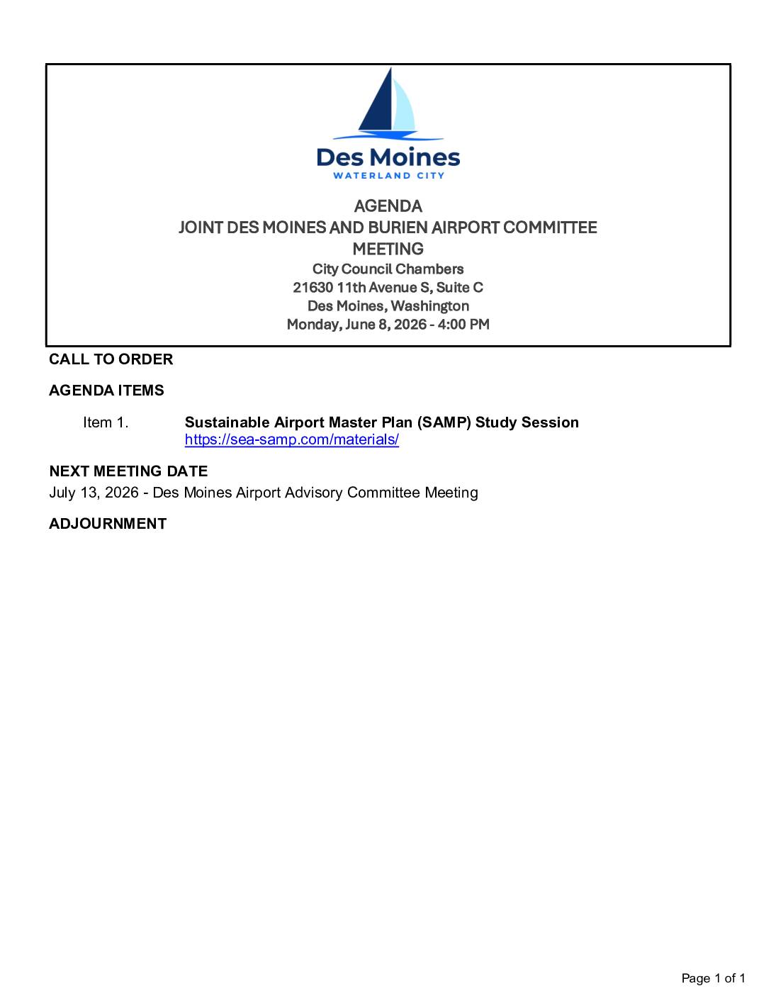
Joint Des Moines and Burien Airport Committee Meeting June 8, 2026
Joint meeting with Burien Airport Committee: Sustainable Airport Master Plan (SAMP) Study Session -
2026-06-08
Joint Des Moines and Burien Airport Committee Meeting Agenda June 8, 2026
The Joint Des Moines and Burien Airport Committee is scheduled to meet on June 8, 2026, at 4:00 PM in the Des Moines City Council Chambers to hold a study session on the Sustainable Airport Master Plan (SAMP), with reference materials available at sea-samp.com/materials. The SAMP is a planning process relevant to Sea-Tac Airport's future development and its noise and environmental impacts on surrounding communities. The next scheduled meeting is the Des Moines Airport Advisory Committee Meeting on July 13, 2026. -
 2026-05-26
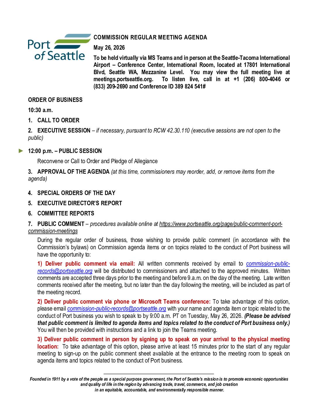
Port of Seattle Commission Regular Meeting May 26, 2026 (SAMP/SEPA intro)
Item 11b is the SAMP/SEPA EIS introduction and presentation -
2026-05-26
Port Of Seattle commission agenda May 26, 2026 (SAMP/SEPA introduction)
This is the agenda for the Port of Seattle Commission Regular Meeting held on May 26, 2026, covering a range of port business items including infrastructure projects at Seattle-Tacoma International Airport (SEA). Key topics include the S Concourse Evolution program (authorized up to $300 million), the Main Terminal Improvement Program emergency power design, and a briefing on the Sustainable Airport Master Plan Near-Term Projects Environmental Review, including a SEPA Draft Environmental Impact Statement. The meeting was held both in person at Sea-Tac Airport and virtually via Microsoft Teams. -
 2026-05-22
Appendix O: Agency & Public Engagement
Appendix O is a placeholder section titled 'Agency & Public Engagement,' reserved for public comment and public engagement information that will be included in the final SEPA (State Environmental Policy Act) Environmental Impact Statement. No content has been populated in this draft version. The completed section will document how agencies and the public were involved in the environmental review process.