TagKing County(422)
-
 2026-01-06
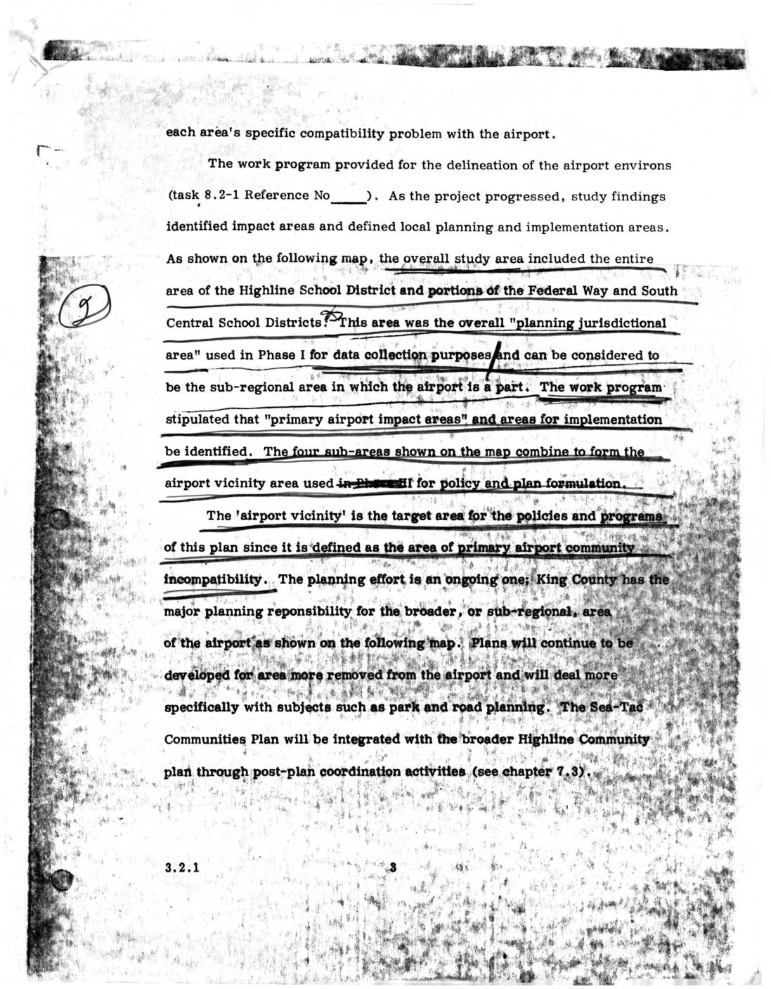
Sea-Tac Communities Plan: Airport Vicinity Area and Planning Jurisdictional Area (Section 3.2.1)
This document describes the planning study area surrounding Seattle-Tacoma (Sea-Tac) Airport, which encompassed the entire Highline School District and portions of the Federal Way and South Central School Districts. The study identified four sub-areas forming an 'airport vicinity' zone — defined as the area of primary airport-community incompatibility — to guide policy and land-use planning. King County holds major planning responsibility for the broader sub-regional area, with the Sea-Tac Communities Plan intended to integrate with the wider Highline Community Plan through post-plan coordination. -
 2025-12-01
Puget Sound Region Final Comprehensive Climate Action Plan
The Puget Sound Region Final Comprehensive Climate Action Plan, published December 1, 2025 by the Puget Sound Clean Air Agency, outlines greenhouse gas reduction strategies for King, Kitsap, Pierce, and Snohomish Counties in the Seattle-Tacoma-Bellevue metropolitan area. The plan covers six sectors—Built Environment, Transportation, Municipal Solid Waste and Wastewater, Natural and Working Lands, Refrigerants, and Consumption—with goals, emission projections, and workforce planning analysis. Note that this document focuses on regional climate and air quality policy rather than Sea-Tac Airport noise regulations specifically. -
 2025-09-09
Order No. 2025-09: An order of the Port Of Seattle Commission to rename the South King County Community Impact Fund as the South King and Port Communities Fund
The Port of Seattle Commission proposes renaming the South King County Community Impact Fund (SKCCIF) to the 'South King and Port Communities Fund' to reflect the program's expanded geographic reach across King County areas identified as having the greatest need. Since its establishment in 2018, the fund has committed $9.25 million to 52 community-based organizations, and a reauthorized five-year plan (2025–2029) will direct up to $14 million toward economic opportunity and environmental improvement programs. The order also reduces the required advance notice to Commissioners for recommended contracts from 14 days to 7 days to streamline the contracting process with community partners. -
 2025-08-11
Impacts of Aviation Emissions on Community Health
Researchers from the University of Washington presented findings to King County's Airport Round Table Advisory Committee showing that aviation emissions pose significant public health risks to nearby communities. Airports account for 70% of airborne lead emissions in King County, primarily from piston-engine aircraft burning leaded aviation gasoline, and multiple studies link living close to such airports with elevated blood lead levels in children. The presentation also highlighted broader health harms from aviation pollutants—including ultrafine particles and nitrogen oxides—affecting neurological, cardiovascular, and respiratory health. -
 2025-07-02
Draft Cultural Resources Assessment for the Port Of Seattle Industrial Wastewater Treatment Plant Project, King County, Washington
This July 2025 draft cultural resources assessment, prepared by Stell for WSP USA and the Port of Seattle, evaluates potential cultural and archaeological impacts associated with a proposed Industrial Wastewater Treatment Plant project in King County, Washington. The 10.6-acre study area is located near Des Moines and covers sections in Townships 22N and 23N. The assessment found no archaeological sites, isolates, or traditional cultural properties within the project area. -
2025-07-02
Draft Cultural Resources Assessment for the Port Of Seattle Industrial Wastewater Treatment Plant Project, King County, Washington
This July 2025 draft cultural resources assessment, prepared by Stell for WSP USA and the Port of Seattle, evaluates potential cultural and archaeological impacts associated with a proposed Industrial Wastewater Treatment Plant project in King County, Washington. The 10.6-acre study area is located near Des Moines and covers sections in Townships 22N and 23N. The assessment found no archaeological sites, isolates, or traditional cultural properties within the project area. -
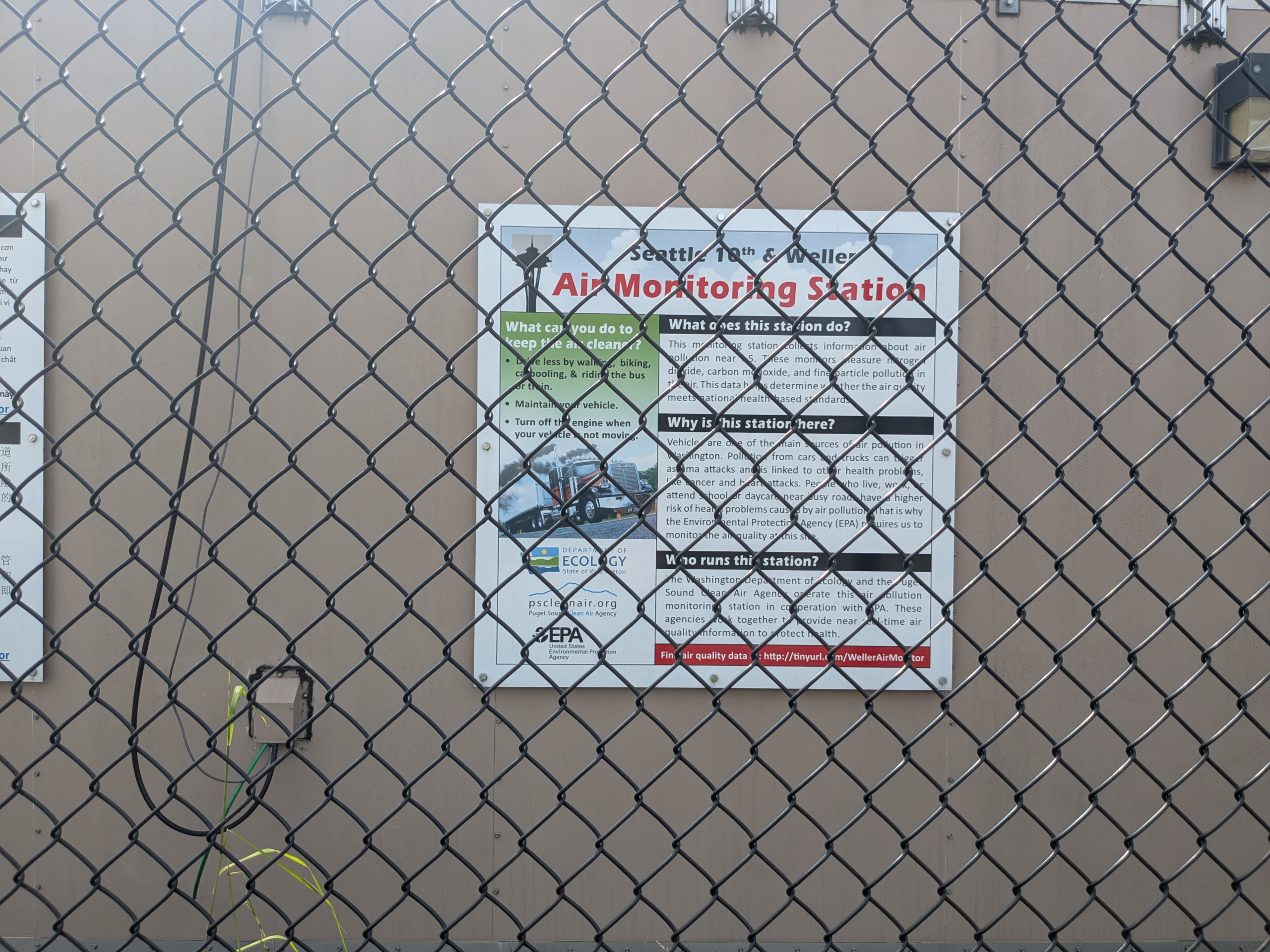
PSCAA 10th and Weller Air Quality Monitoring Site — May 6, 2025, 22:02:51
A sign mounted on a chain-link fence identifies this as the Seattle 19th & Weller Air Monitoring Station, operated by the Washington Department of Ecology and the Puget Sound Clean Air Agency in cooperation with the EPA. The sign explains that the station monitors nitrogen dioxide, carbon monoxide, and fine particle pollution near vehicle traffic, with data accessible at http://tinyurl.com/WellerAirMonitor. -
-
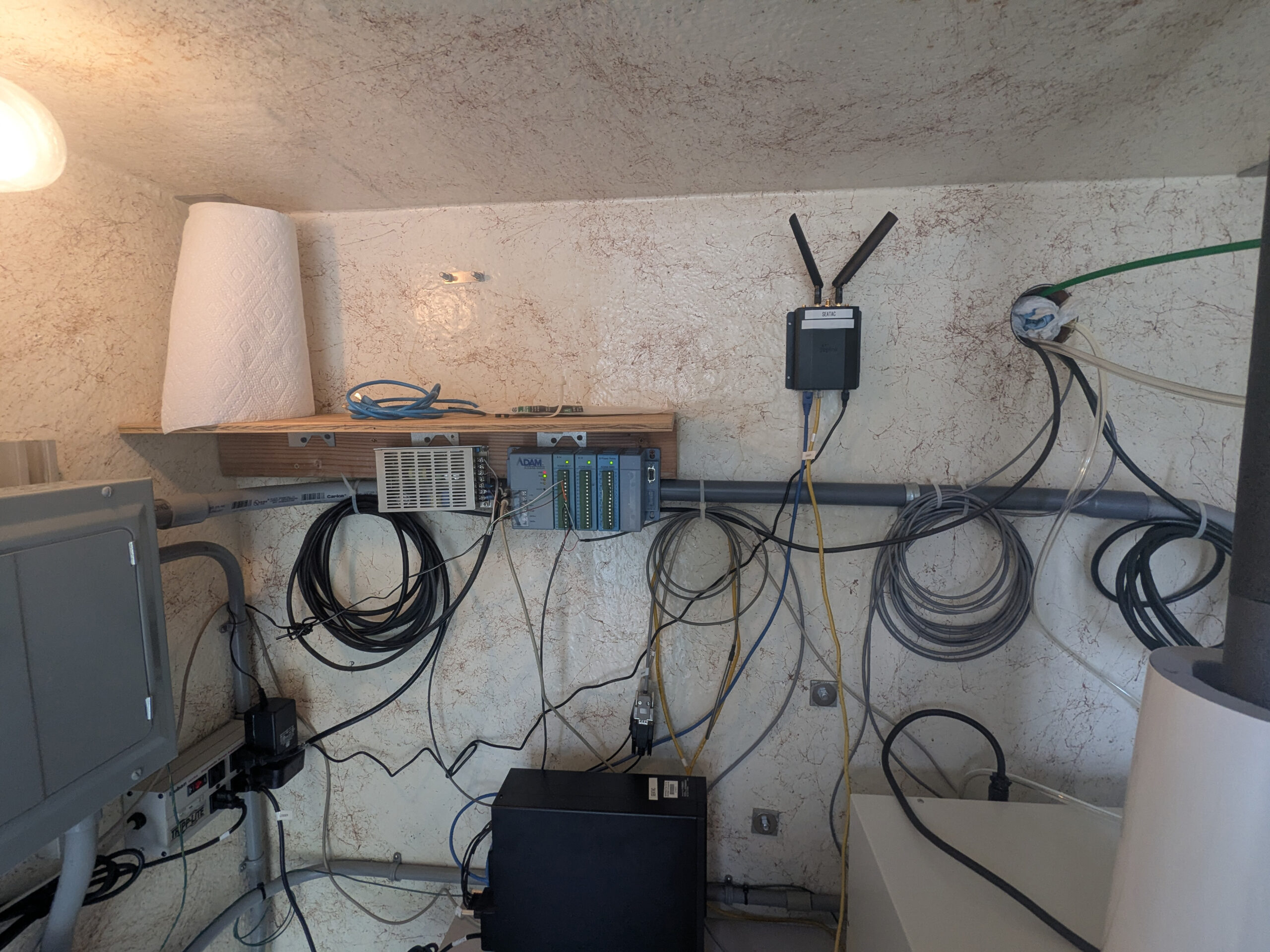
Data acquisition and wireless communication equipment installation
A wall-mounted equipment setup featuring an Advantech ADAM data acquisition module, a wireless router/gateway device with dual antennas (labeled 'IONIC' or similar), and various coiled cables including Ethernet and sensor wiring. A shelf holds additional networking hardware and a roll of paper towel, with a solar or power inverter unit visible at lower left. -

PSCAA Air Quality Monitor SeaTac
A white instrumentation enclosure/shelter is mounted on a gravel pad outdoors, equipped with two mushroom-cap inlet sampling tubes on top (consistent with particulate matter or air quality monitors), a radiation shield/temperature sensor assembly, a black exhaust elbow, and associated cabling. The setting appears industrial, with graffiti-marked walls and a corrugated metal building visible in the background.