TagKing County(422)
-
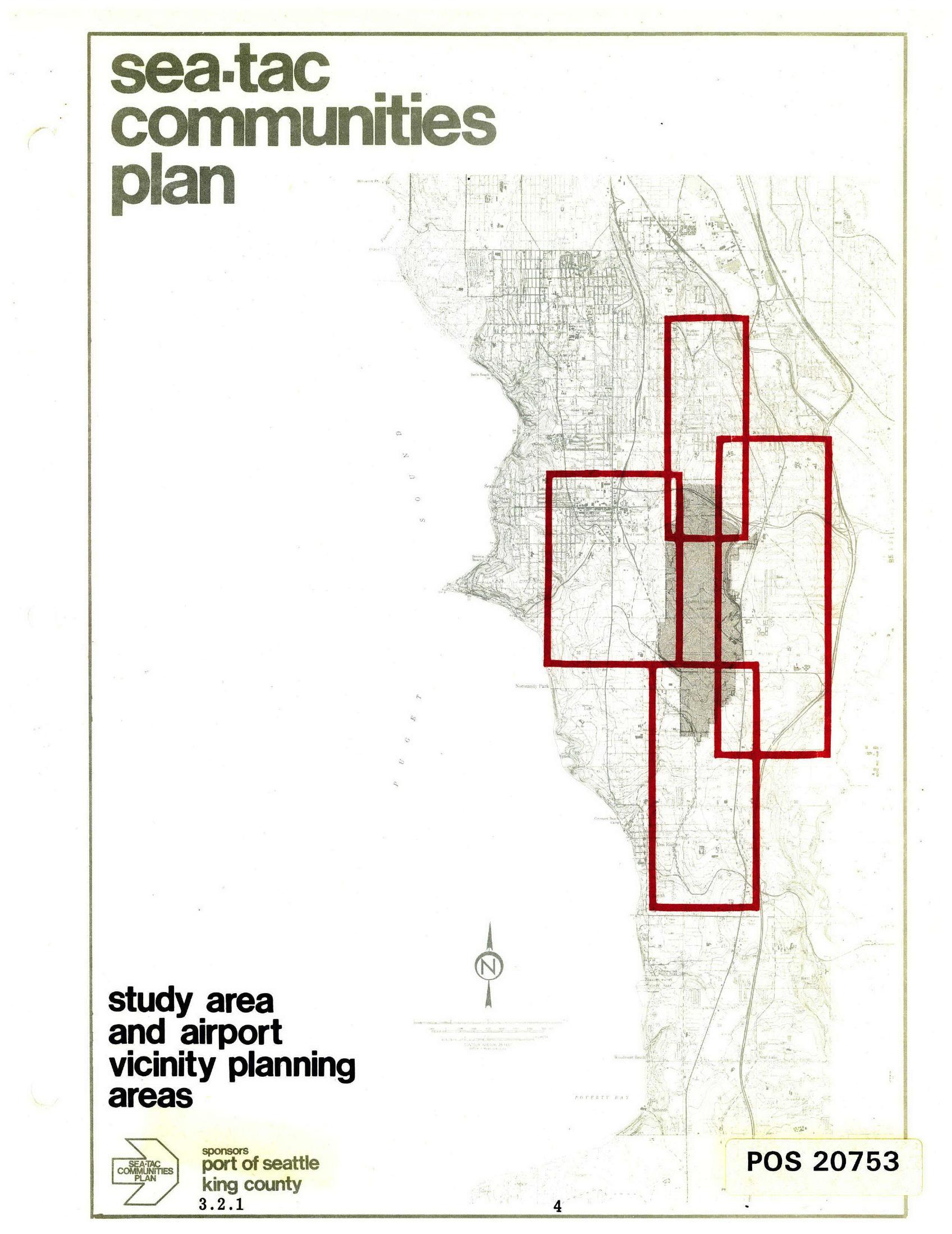
Sea-Tac Communities Plan Study Area and Airport Vicinity Planning Areas Map
Cover page of the Sea-Tac Communities Plan document (map sheet 3.2.1, page 4), jointly sponsored by the Port of Seattle and King County, showing a topographic base map of the Sea-Tac area with red-outlined rectangles delineating the study area and airport vicinity planning zones around Seattle-Tacoma International Airport. The document is catalogued as POS 20753. -
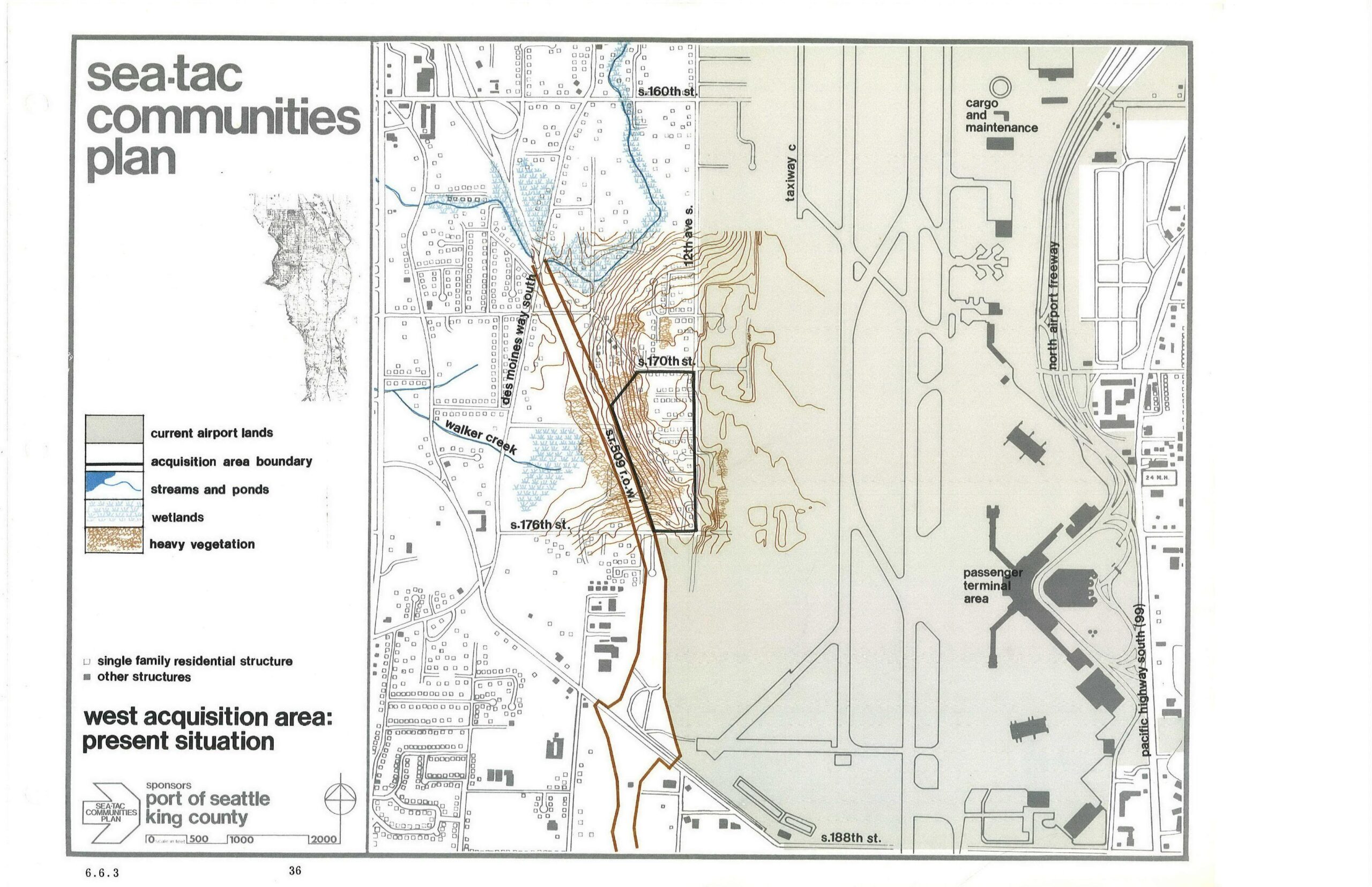
Sea-Tac Airport West Acquisition Area Present Situation Planning Map
This planning map, sponsored by the Port of Seattle and King County, depicts the West Acquisition Area adjacent to Seattle-Tacoma International Airport, showing current airport lands, acquisition area boundaries, streams, wetlands, heavy vegetation, and residential structures. Key features labeled include Walker Creek, Des Moines Way South, 12th Ave S, S. 170th St, S. 176th St, S. 188th St, Taxiway C, the North Airport Freeway, the Passenger Terminal Area, and the Cargo and Maintenance area. -
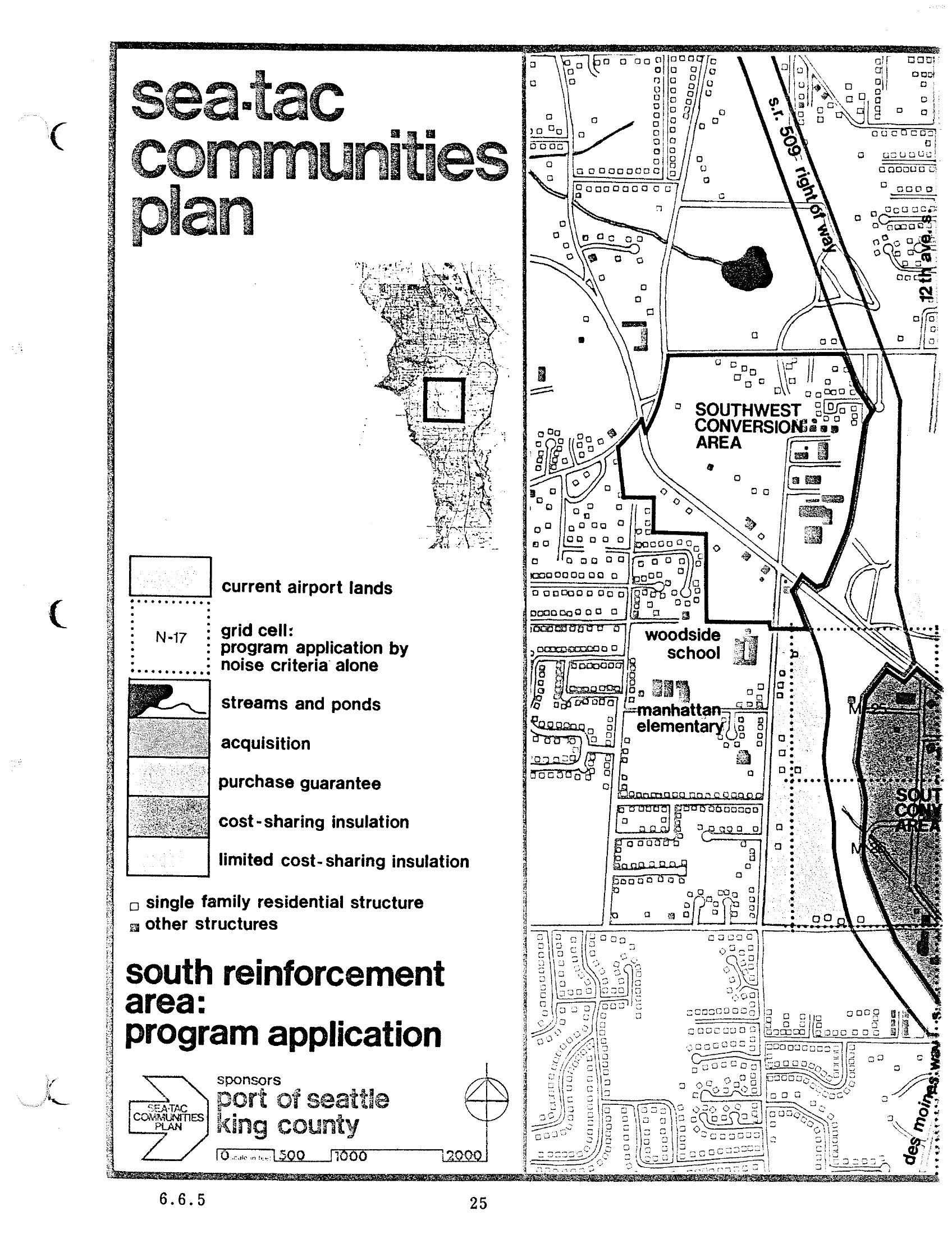
Sea-Tac Communities Plan Chapter 6 — South Reinforcement Area Program Application Map
A planning map from the Sea-Tac Communities Plan, sponsored by the Port of Seattle and King County, depicting the South Reinforcement Area program application including the Southwest Conversion Area, Woodside School, and Manhattan Elementary. The legend identifies land-use and noise-mitigation categories including current airport lands, acquisition zones, purchase guarantee areas, cost-sharing insulation, and grid cells defined by noise criteria (e.g., N-17). -
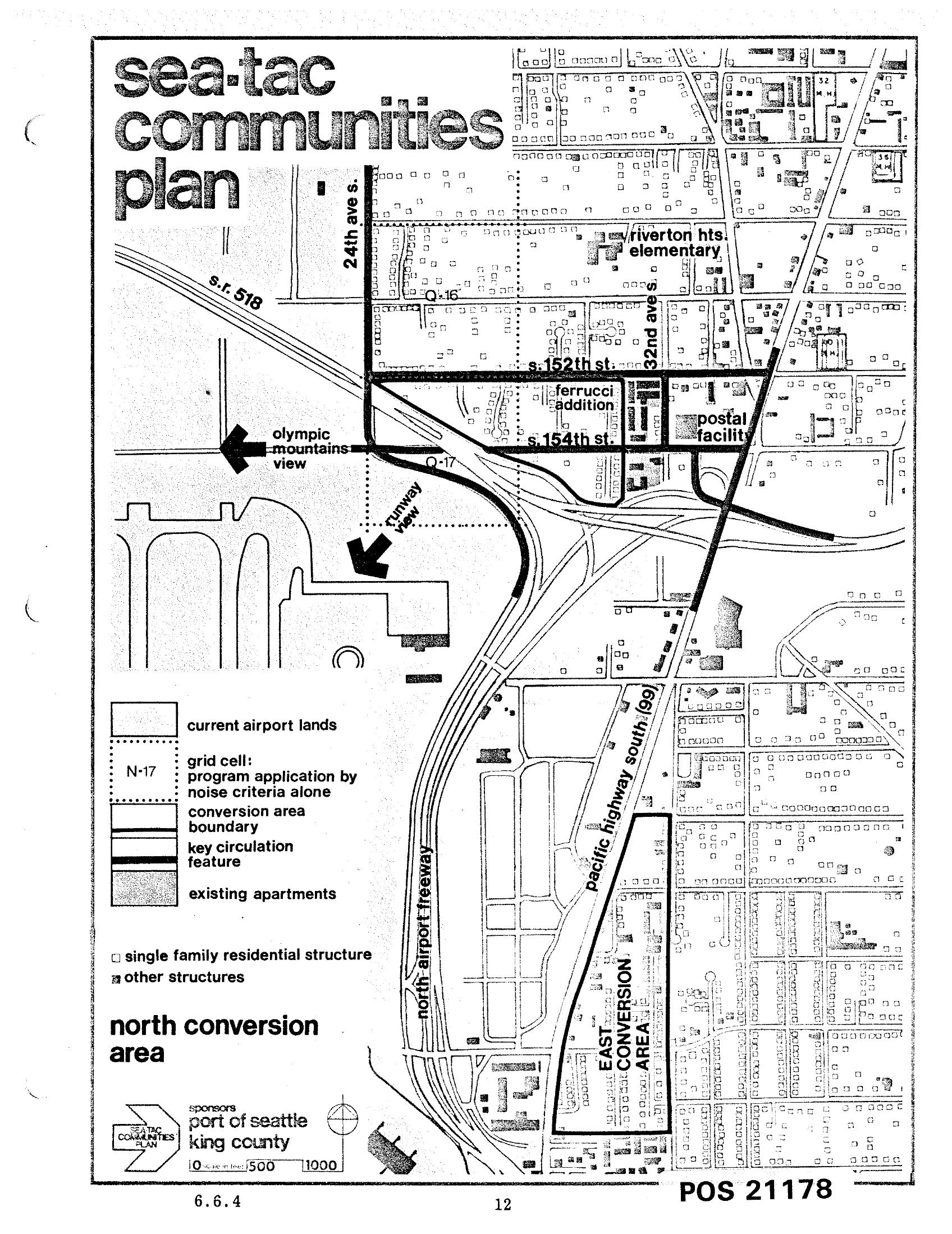
Sea-Tac Communities Plan Chapter 6 Page 12 — North Conversion Area Map
This is page 12 (document reference 6.6.4, POS 21178) of the Sea-Tac Communities Plan, co-sponsored by the Port of Seattle and King County. The map depicts the North Conversion Area near Seattle-Tacoma International Airport, showing current airport lands, grid cells subject to noise-criteria program application, conversion area boundaries, key circulation features, the Ferrucci Addition, a postal facility, Riverton Heights Elementary, S. 152nd and S. 154th Streets, 24th Ave S., 32nd Ave S., Pacific Highway South (SR 99), the North Airport Freeway, and SR 518. -
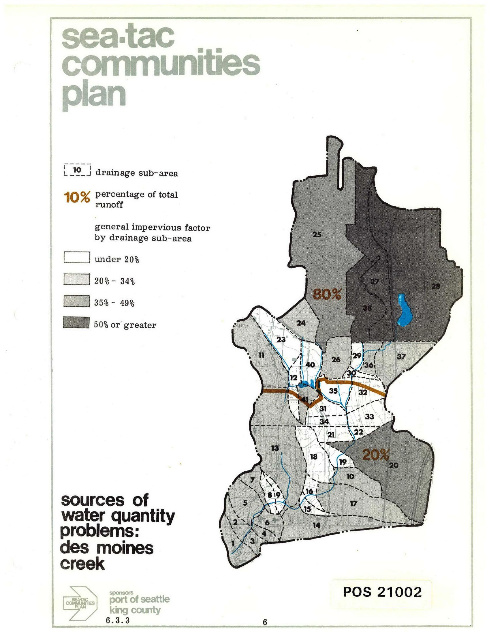
Sea-Tac Communities Plan: Des Moines Creek Drainage Sub-Areas and Runoff Sources
A planning map from the Sea-Tac Communities Plan (document POS 21002, section 6.3.3) showing drainage sub-areas for Des Moines Creek, with impervious surface factors ranging from under 20% to 50% or greater, and annotating that 80% of total runoff originates from the northern sub-areas and 20% from the southern sub-areas. Sponsored by the Port of Seattle and King County. -
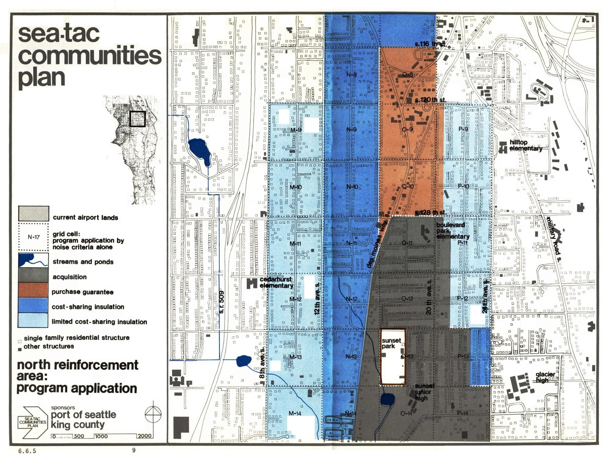
Sea-Tac Communities Plan: North Reinforcement Area Program Application
This planning map, document number 6.6.5, is from the Sea-Tac Communities Plan sponsored by the Port of Seattle and King County. It depicts the North Reinforcement Area program application, showing grid-cell zones color-coded by noise mitigation category—including acquisition, purchase guarantee, cost-sharing insulation, and limited cost-sharing insulation—for the residential area surrounding Seattle-Tacoma International Airport, with landmarks such as Cedarhurst Elementary, Boulevard Park Elementary, Hilltop Elementary, Glacier High, and Sunset Junior High visible. -
 2026-05-12
State penalizes four organizations over $19,000 for fuel tank back fees at King County International Airport
Department of Ecology News Release – May 13, 2026 SEATTLE – After failing to pay a decade’s worth of back fees related to their underground storage tanks supplying King County International Airport – Boeing Field, Signature Aviation, Shultz, Inc., Sky Services, and King County have been penalized $19,681 by the Washington Department of Ecology. The -
2026-04-13
KCIA Roundtable Advisory Committee
Meeting Objectives • Confirm topic priorities for 2026 Roundtable meetings • Discuss the Vision 2025 Preferred Alternative Concept Agenda 5:00 PM – Welcome (Ali Lee) 5:02 PM – Roll Call (Ayako Shapiro) 5:03 PM – Approve March Meeting Minutes (Ali Lee) 5:05 PM – Prioritization Exercise (Jenny Thacker) Topics identified during Feb 10th Ad Hoc -
 2026-01-06
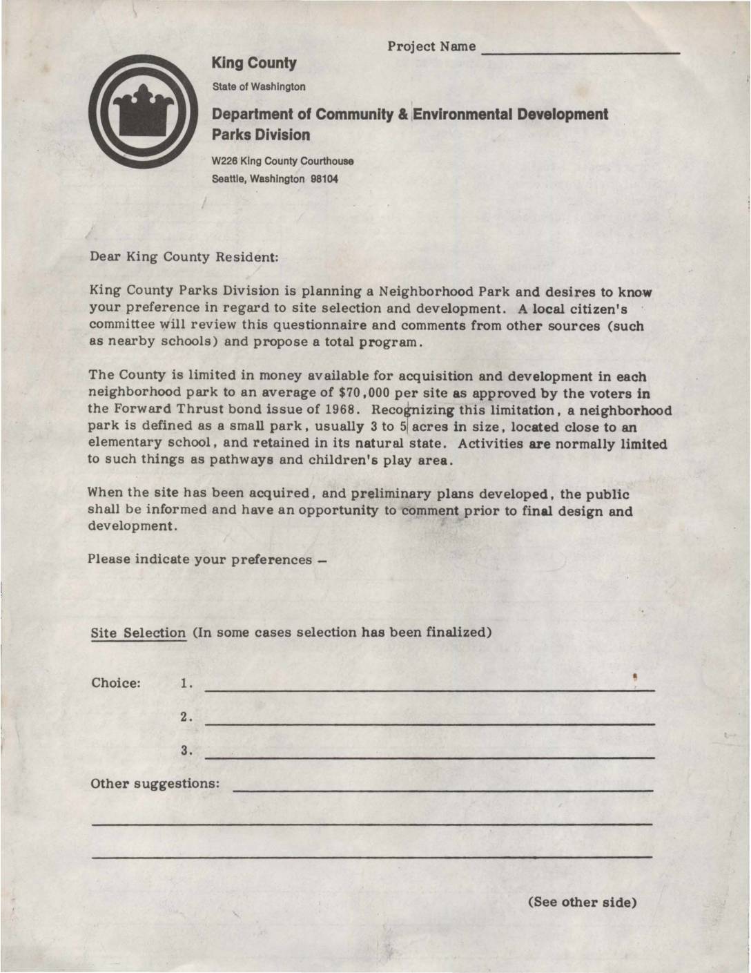
King County Department of Community & Environmental Development Parks Division: Neighborhood Park Site Selection and Activities Preference Questionnaire
A King County Parks Division questionnaire sent to residents seeking input on the selection and development of a new neighborhood park, funded by the 1968 Forward Thrust bond issue with a budget of $70,000 per site. Residents were asked to rank preferred park activities such as pathways, sandboxes, nature trails, and play areas, as well as future recreational facilities like baseball fields and tennis courts. The form also invited residents to volunteer for a citizen's advisory committee involved in the park planning process. -
 2026-01-06
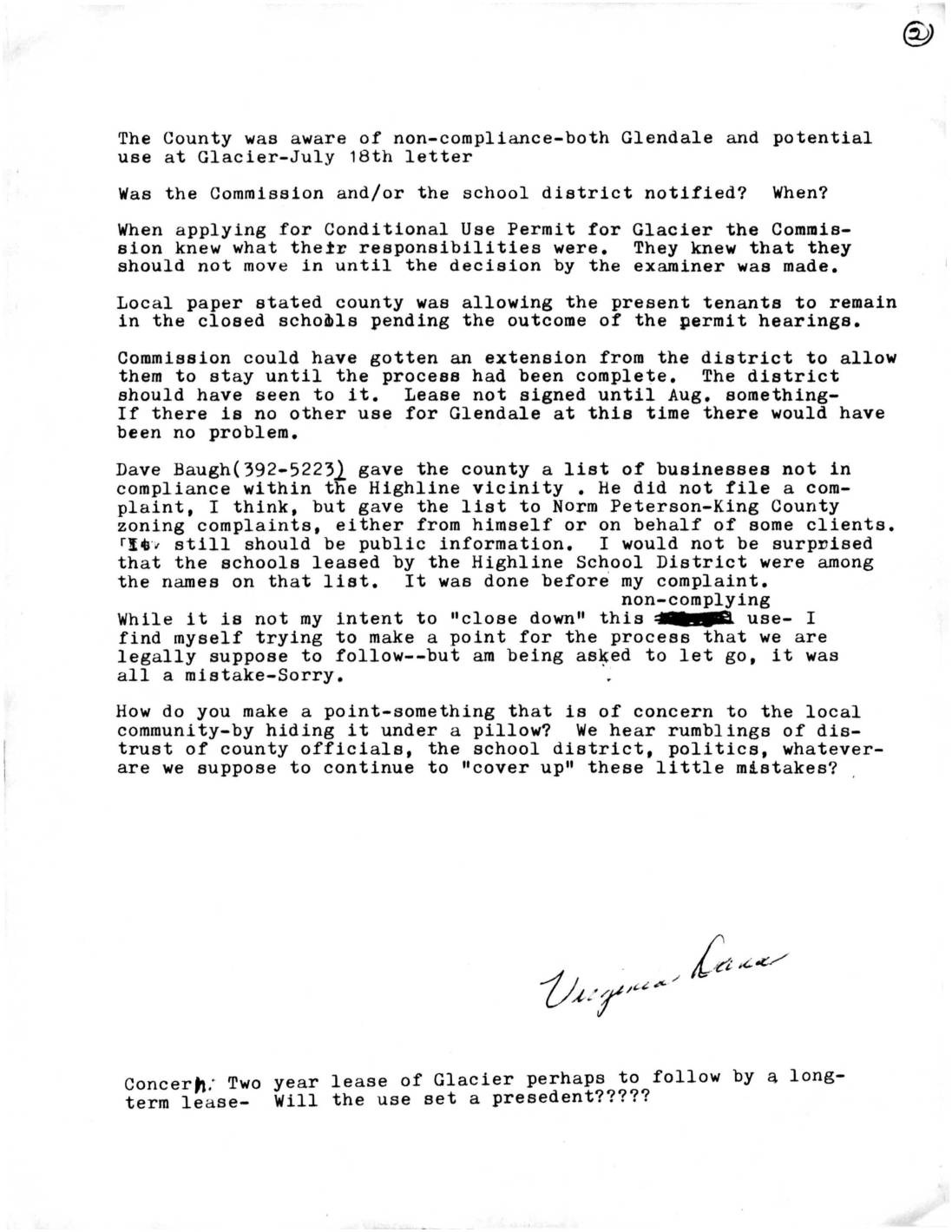
Letter from Virginia Lane Regarding Zoning Non-Compliance at Glendale and Glacier Schools
A community member raises concerns about zoning non-compliance at closed Highline School District schools, including Glendale and Glacier, noting that the County was aware of violations as early as a July 18th letter. The document questions whether proper permitting processes were followed before tenants moved into Glacier, and references a list of non-compliant businesses in the Highline vicinity submitted to King County zoning officials. The author expresses broader concern about lack of transparency and accountability among county officials and the school district, and worries that a two-year lease at Glacier could set a long-term precedent.