Sea-Tac Communities Plan: Airport Vicinity Area and Planning Jurisdictional Area (Section 3.2.1)

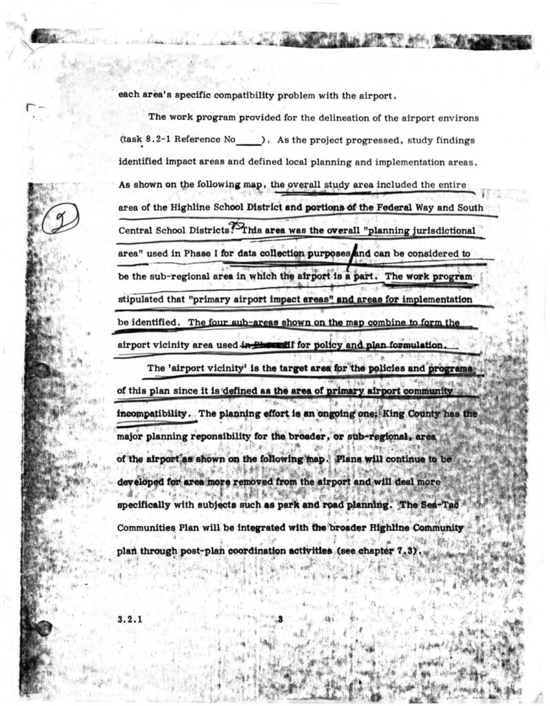
This document describes the planning study area surrounding Seattle-Tacoma (Sea-Tac) Airport, which encompassed the entire Highline School District and portions of the Federal Way and South Central School Districts. The study identified four sub-areas forming an 'airport vicinity' zone — defined as the area of primary airport-community incompatibility — to guide policy and land-use planning. King County holds major planning responsibility for the broader sub-regional area, with the Sea-Tac Communities Plan intended to integrate with the wider Highline Community Plan through post-plan coordination.

Notes

Section 3.2.1 from the Sea-Tac Communities Plan (STCP) describing delineation of airport environs and the airport vicinity area. Discusses the overall planning jurisdictional area encompassing the Highline School District and portions of the Federal Way and South Central School Districts used in Phase I for data collection. Identifies four sub-areas forming the airport vicinity area for Phase II policy and plan formulation. King County holds major planning responsibility for the broader sub-regional area. The Sea-Tac Communities Plan is to be integrated with the broader Highline Community Plan through post-plan coordination activities (chapter 7.3). Task 8.2-1 reference cited.

V V