TagKing County(422)
-
 1980-08-01
Highline Community Plan: Draft Supplemental Environmental Impact Statement
This August 1980 Draft Supplemental Environmental Impact Statement from King County's Division of Planning outlines proposed zoning changes for the Highline Community Plan, covering areas surrounding Seattle-Tacoma International Airport including White Center, Burien, and nearby neighborhoods. The document maps land proposed for rezoning across multiple subareas, with changes including downzones to single-family residential, conversions to multi-family or mixed use, and designations of land for potential future rezones. It serves as a planning tool to guide land use decisions in communities directly affected by airport noise and related impacts. -
 1980-07-18
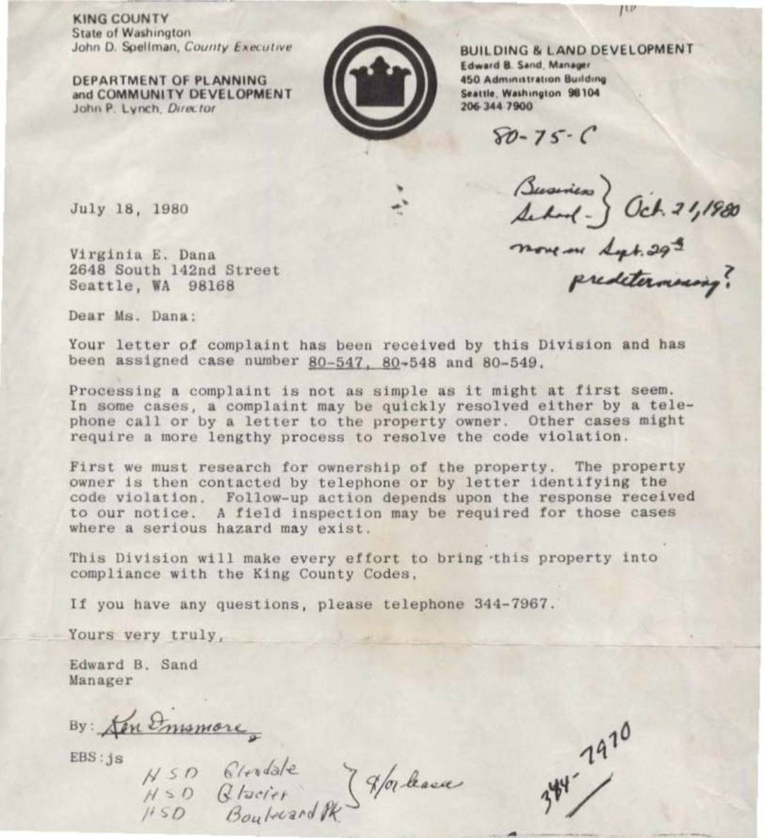
Case 80-75-C: King County Department of Planning and Community Development Letter to Virginia E. Dana Regarding Complaint Cases 80-547, 80-548, and 80-549
A July 1980 letter from King County's Building and Land Development division acknowledges a complaint filed by Virginia E. Dana, assigning it case numbers 80-547, 80-548, and 80-549, and outlines the county's process for investigating code violations. The letter explains that resolving complaints may involve researching property ownership, contacting the owner, and conducting field inspections for serious hazards. A related newspaper article covers conditional use permit hearings for tenants of closed Highline School District schools, noting that the county had recently discovered many such tenants lacked required permits. -
 1980-03-04
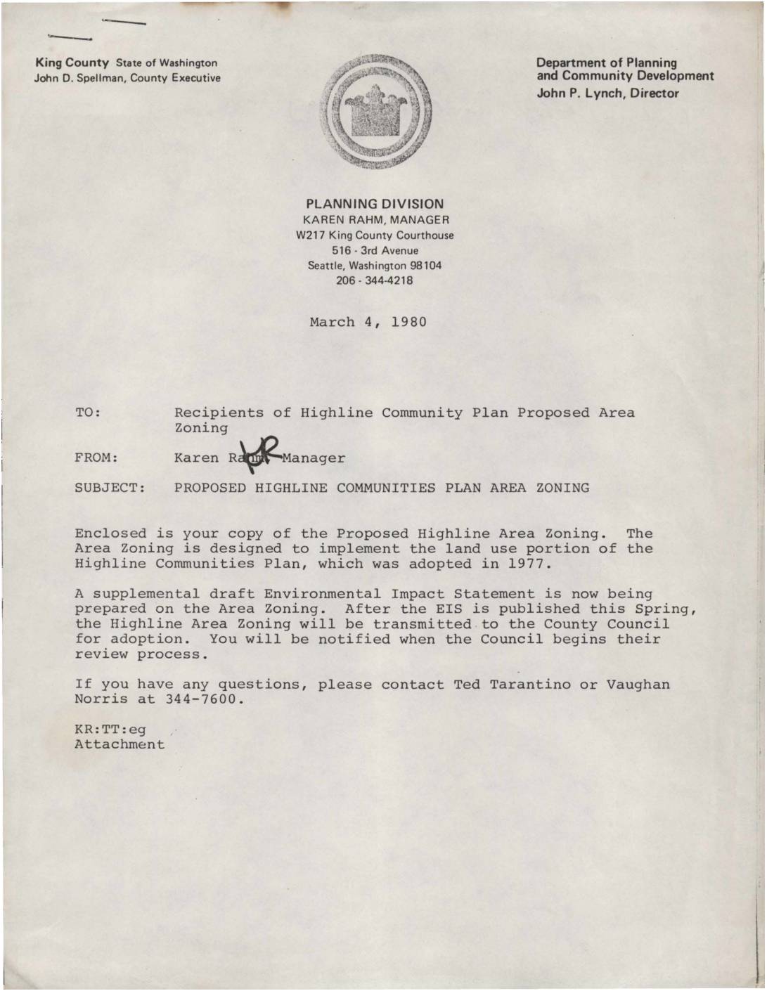
Proposed Highline Communities Plan Area Zoning: Transmittal Letter from King County Planning Division
A March 1980 memo from King County's Planning Division manager Karen Rahm notifies recipients about the Proposed Highline Communities Plan Area Zoning, a zoning framework designed to implement the land use guidelines of the 1977 Highline Communities Plan. The memo states that a supplemental draft Environmental Impact Statement was being prepared and would be published in Spring 1980, after which the zoning proposal would be sent to the County Council for adoption. Handwritten notes on the reverse reference page 56, suggesting a potential rezoning from SR to ML (Medium Light industrial) with consideration of buffer zones around ML areas. -
 1980-02-20
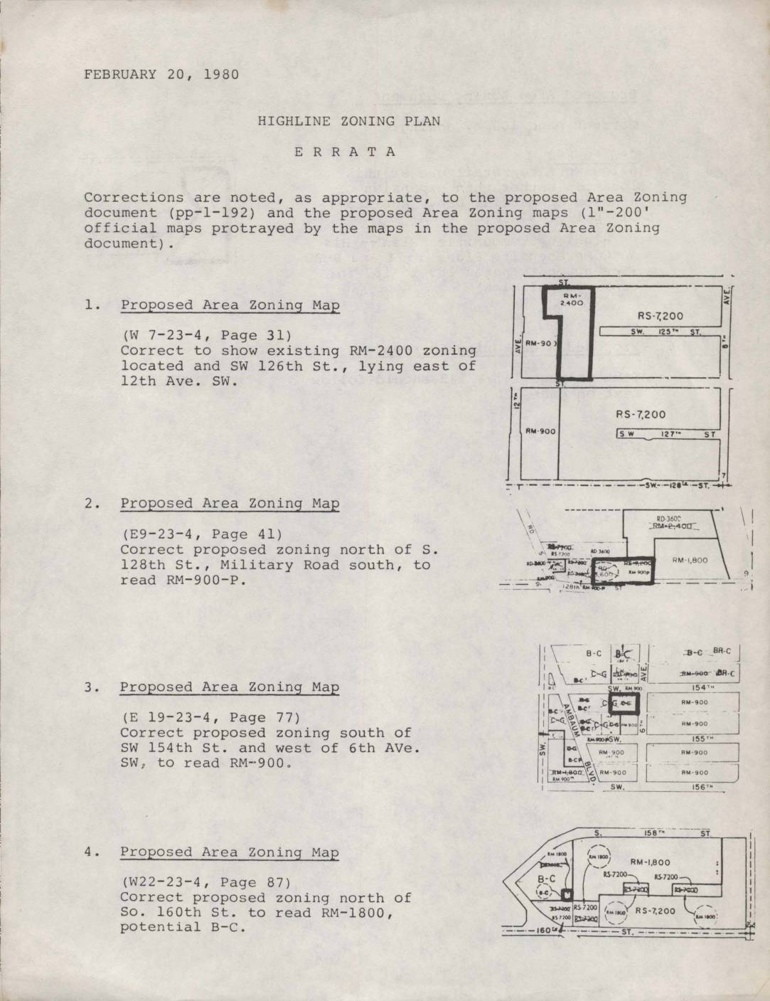
Highline Zoning Plan Errata
This February 20, 1980 errata document lists official corrections to the Highline Zoning Plan, a proposed area zoning document and accompanying maps covering communities in the Highline area near Seattle. The corrections update specific zoning designations on several map sections, such as changing certain parcels to residential multi-family (RM) or business-commercial (B-C) classifications, and fix a text sequencing error in the zoning document. These adjustments reflect policy decisions aimed at guiding land use—including residential density and commercial development—in neighborhoods in the vicinity of what is now Sea-Tac Airport. -
 1980-01-03
North Sea-Tac Park recreation master plan
This 1980 recreation master plan for North Sea-Tac Park was prepared by Jongejan/Gerrard/McNeal, Inc. as a joint planning effort between the Port of Seattle and King County. The plan identifies community recreational needs, assesses natural and manmade site constraints including airport noise impacts, and proposes development guidelines for the park adjacent to Seattle-Tacoma International Airport. It was described at the time as a pioneering example of airport-adjacent land use planning at the national level. -
 1980-01-01
Highline Community Plan: Proposed Area Zoning
★This January 1980 King County Division of Planning report proposes new zoning maps for the Highline community, located south of Seattle between I-5 and Puget Sound, to implement the Highline Communities Plan adopted in December 1977. The plan translates land use policies into specific zoning classifications covering topics such as mixed-use development, mobile home development, an Airport Open Use Zone, and landscaping guidelines. It applies only to unincorporated King County areas and was subject to public community meetings and hearings before adoption by the County Council. -
 1979-08-17
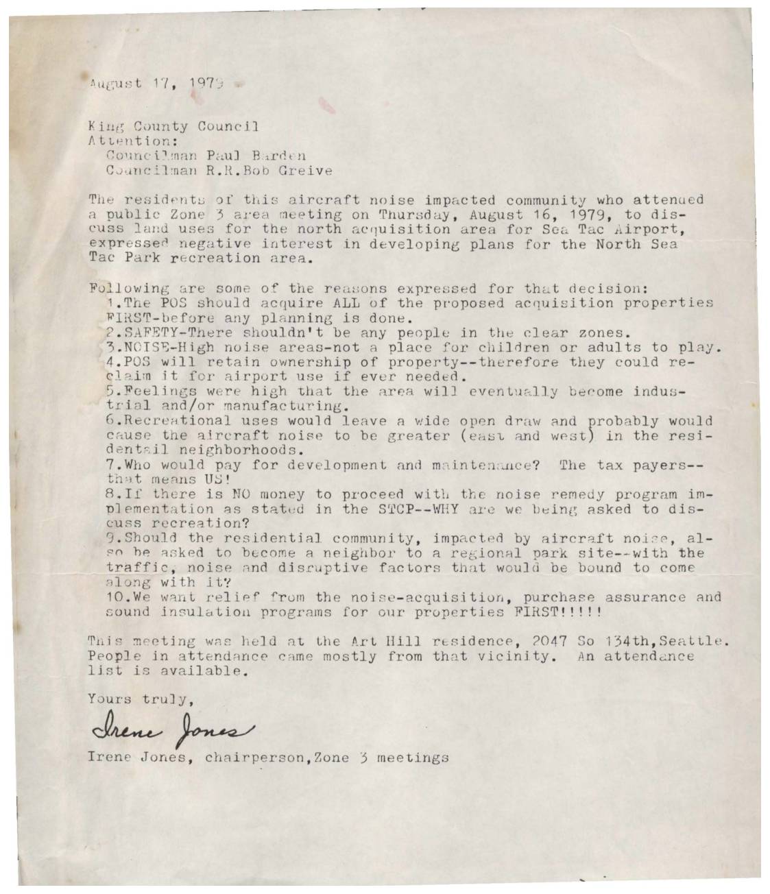
Letter to King County Council Regarding North Sea-Tac Park Recreation Area
In an August 17, 1979 letter to the King County Council, Irene Jones, chairperson of Zone 3 meetings, conveyed strong opposition from local residents to developing a recreational park in the North Sea-Tac area near the airport. Attendees at a public meeting cited safety concerns, high noise levels, and potential tax burdens as reasons against the park plan, arguing that the land should first be fully acquired by the POS before any development is considered. Residents emphasized that their top priority was relief through noise-acquisition, purchase assurance, and sound insulation programs for their existing properties. -
 1979-02-08
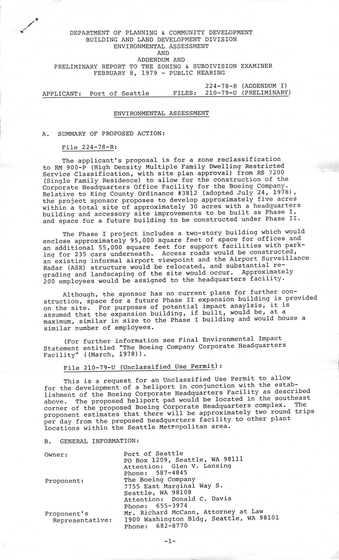
Environmental Assessment and Addendum: File 224-78-R and 210-79-U — Proposed Boeing Corporate Headquarters Facility, Port Of Seattle, February 8, 1979
This 1979 environmental assessment from King County's Department of Planning & Community Development evaluates the Port of Seattle's application to rezone approximately five acres near Sea-Tac Airport to allow Boeing to build a corporate headquarters facility, including offices, parking, and a heliport. The proposed Phase I development would include a two-story building with roughly 95,000 square feet of office space and parking for 235 cars, with approximately 200 employees on site. The document also outlines the county's land use history and ordinances governing development on the west side of Sea-Tac Airport, emphasizing protections for adjacent residential neighborhoods. -
 1979-01-01
Greater Highline Community Parks Board: North Sea-Tac Park Master Plan Flyer and Booster Club Application
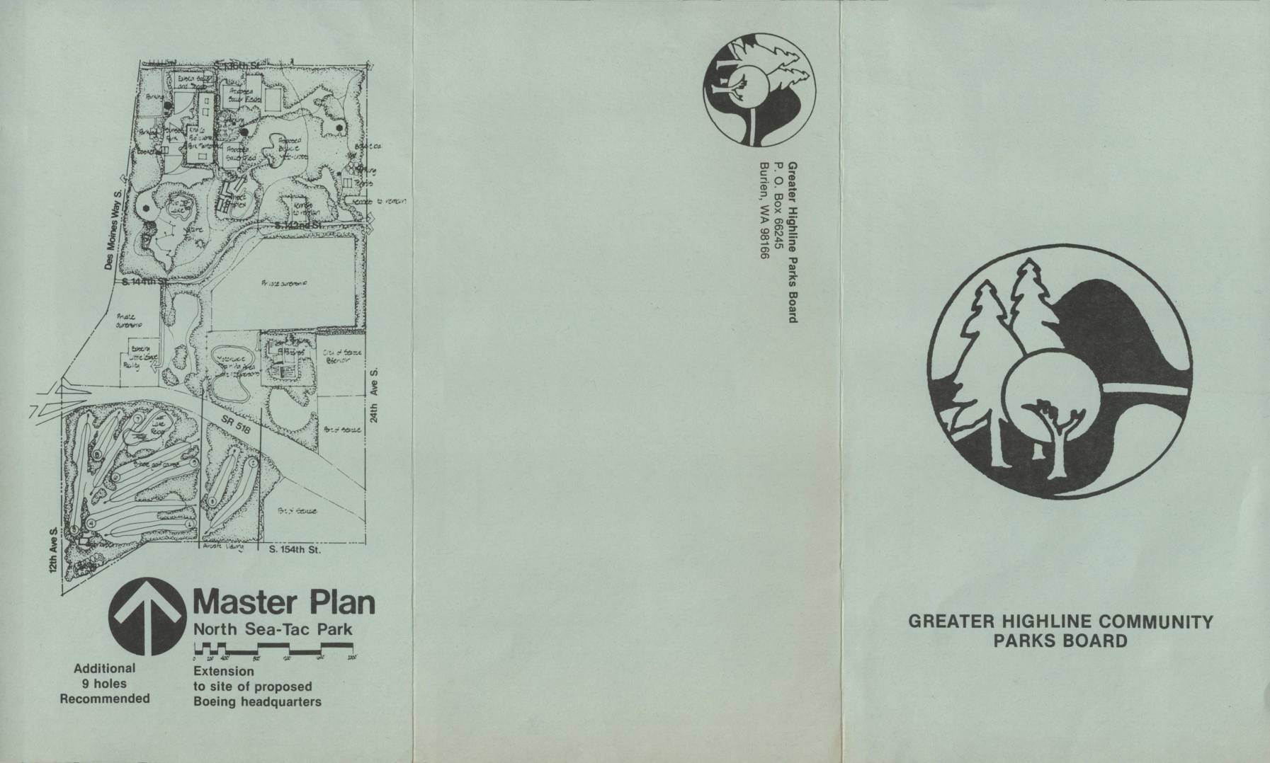
This brochure from the Greater Highline Community Parks Board outlines the Master Plan for North Sea-Tac Park, a 50-acre recreational area developed in the airport's north clear zone — land set aside due to aircraft noise impacts. Formed after a 1979 jointly funded planning effort by the Port of Seattle and King County, the nonprofit board manages the park and the Sunset Activity Center (a former junior high school), offering facilities for groups such as a BMX club, equestrian association, and Kennedy High School cross-country trails. The document also promotes a Booster Club membership drive to support continued park development and operations. -
 1979-01-01
Sea-Tac/Communities Plan: Pioneer in Airport-Citizen Cooperation
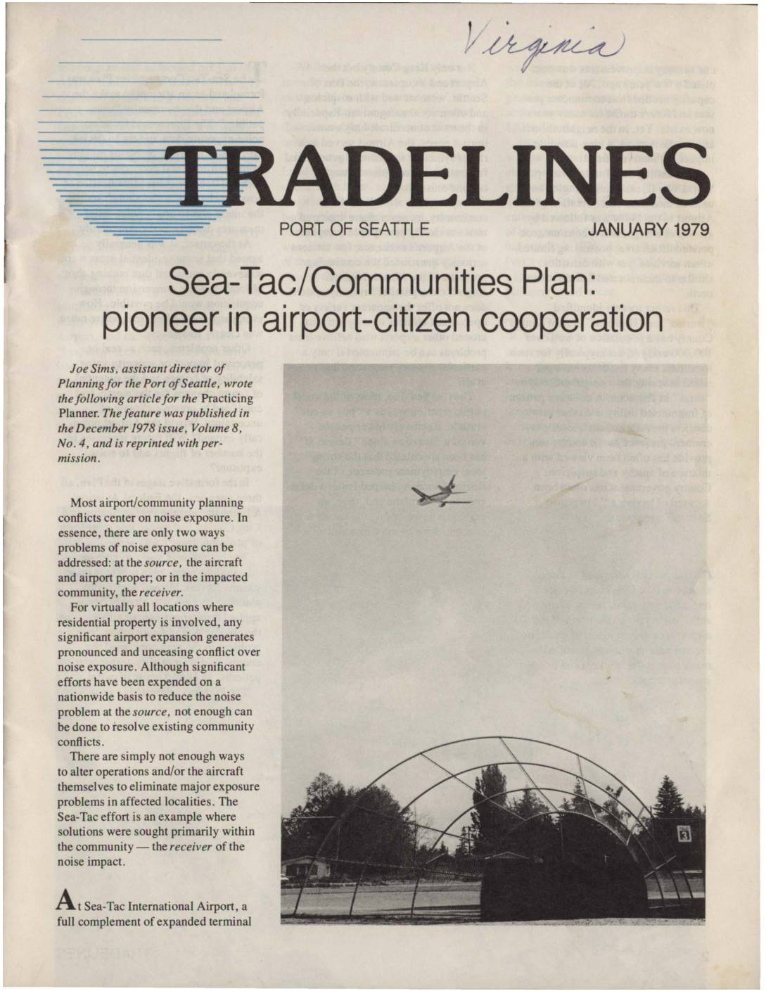
This 1979 article from the Port of Seattle's Tradelines newsletter describes the Sea-Tac/Communities Plan, a pioneering cooperative effort between the Port of Seattle, King County, and the FAA to address aircraft noise impacts on neighborhoods surrounding Sea-Tac International Airport. Rather than focusing solely on reducing noise at its source, the plan targeted the affected communities directly through measures such as home acquisitions in severely impacted areas, 'purchase guarantees' for moderately impacted zones, and residential insulation cost-sharing programs. Adopted in 1976, the plan is presented as an innovative model for airport-community compatibility planning, though the article acknowledges it represents only a partial solution to the broader challenges airports and their neighboring communities face.