TagDes Moines(255)
-
 2023-08-09
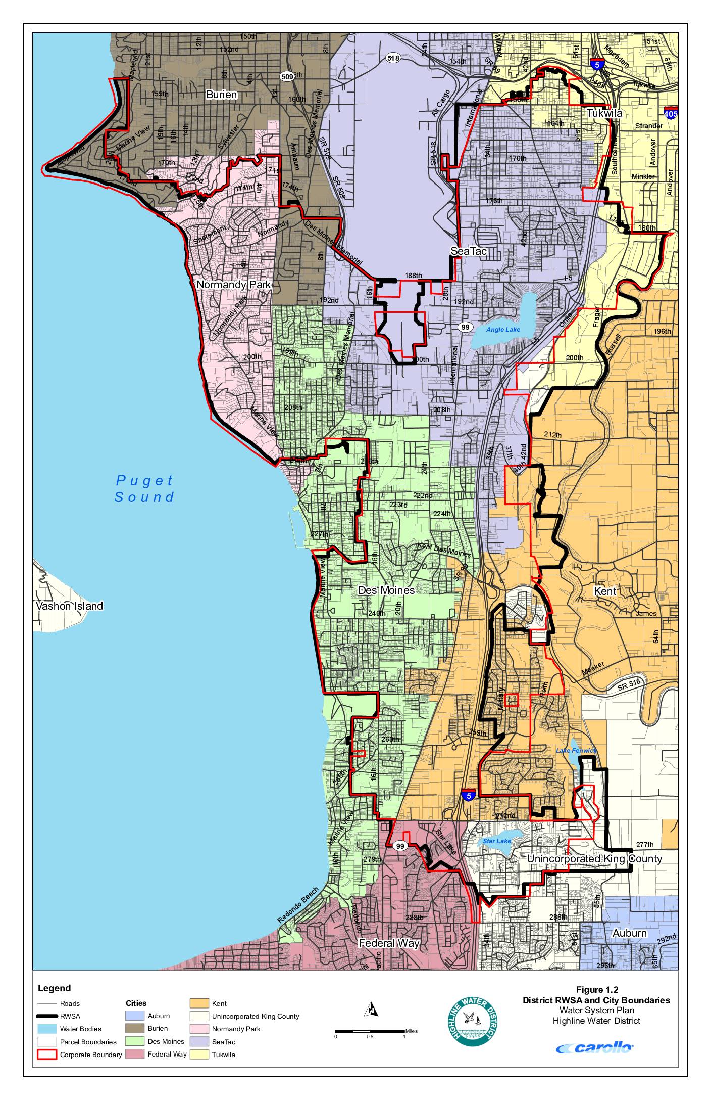
District RWSA and city boundaries – Water System Plan, Highline Water District
This map from Highline Water District's Water System Plan shows the district's Regional Water Service Area (RWSA) and surrounding city boundaries in the communities near Sea-Tac Airport, including Burien, Normandy Park, Des Moines, SeaTac, Tukwila, Kent, Federal Way, and unincorporated King County. The document depicts roads, water bodies such as Angle Lake, Lake Fenwick, and Star Lake, and parcel boundaries across the service area along the eastern shore of Puget Sound. While primarily a water infrastructure planning document, it provides detailed geographic context for the municipalities and neighborhoods in the Sea-Tac Airport vicinity. -
 2023-08-09
Water system facilities and pressure zones
This document is a water system facilities and pressure zones map for the Highline Water District, covering communities including SeaTac, Des Moines, Burien, Normandy Park, and Federal Way in the greater Seattle area. It shows the locations of water mains, pump stations, storage facilities, wells, water treatment plants, and pressure-reducing valves (PRVs) across more than a dozen distinct pressure zones. The map is part of the district's Water System Plan and was produced by engineering firm Carollo. -
 2023-07-16
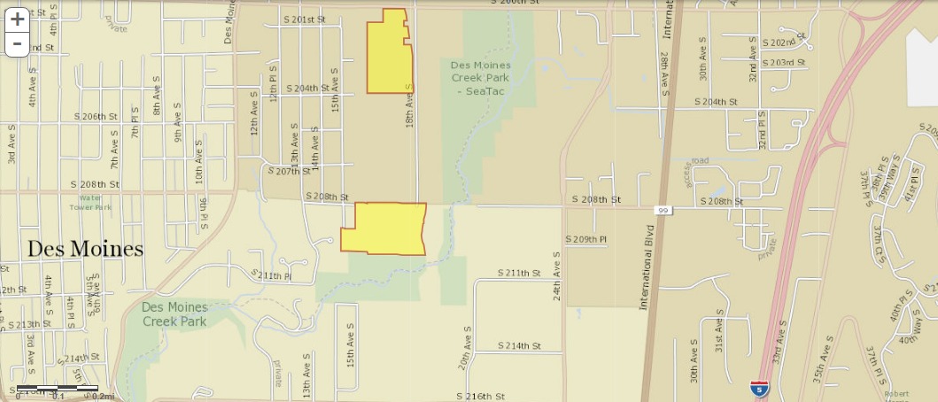
King County GIS Parcel Map: Property Ownership Near Des Moines Creek Park and Sea-Tac Airport Noise Zone
A street map showing the Des Moines and SeaTac area of Washington State, with two parcels highlighted in yellow/orange near Des Moines Creek Park and along 18th Ave S between approximately S 201st St and S 208th St. The map shows International Blvd (SR-99) and Interstate 5 to the east, in an area relevant to Sea-Tac Airport noise impact zones. -
District 54 Water Tower logo close-up
A close-up photograph of a curved surface, possibly a vehicle or aircraft fuselage, bearing a simple line-drawing logo of a sailboat above parallel curved stripes. The image contains no visible text, date, or organizational identification. -
 2023-05-23
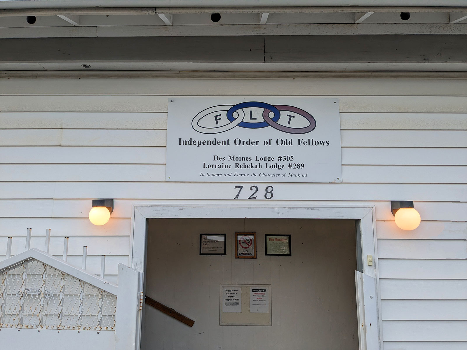
IOOF Des Moines Lodge #305 and Lorraine Rebekah Lodge #289 Exterior Signage
Exterior signage at 728 for the Independent Order of Odd Fellows, displaying the three-link FLT (Friendship, Love, Truth) chain logo, listing Des Moines Lodge #305 and Lorraine Rebekah Lodge #289, with the motto 'To Improve and Elevate the Character of Mankind.' This building appears unrelated to Sea-Tac Airport noise policy. -
 2023-04-05
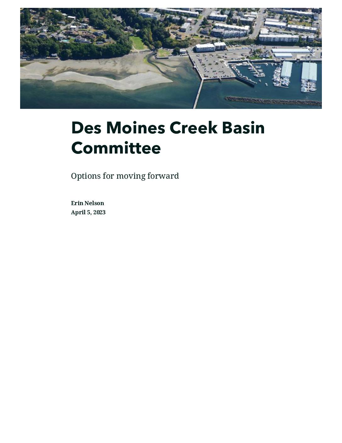
Des Moines Creek Basin Committee: Options for Moving Forward
This April 2023 presentation by Erin Nelson outlines options for the Des Moines Creek Basin Committee as it prepares to renew its Interlocal Agreement (ILA), a cooperative arrangement among local jurisdictions managing the creek basin near Des Moines, Washington. The meeting agenda covers a review of past studies and committee accomplishments, a discussion of what has worked and what needs improvement, and a decision on workable paths forward. While focused on stormwater and creek basin management rather than airport noise policy directly, the Des Moines Creek basin is located adjacent to Sea-Tac Airport and its management is relevant to the broader environmental context of the surrounding area. -
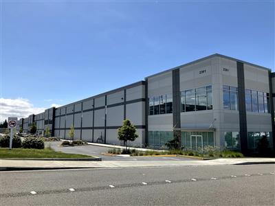
Des Moines Creek Business Park Warehouse (Panattoni)
A modern two-story commercial or light industrial building with gray and white panel cladding and large windows is visible. Partial address numbers '2301' and '2305' (or similar) appear on the building facade, but no organization name or logo is clearly legible. -
 2022-11-29
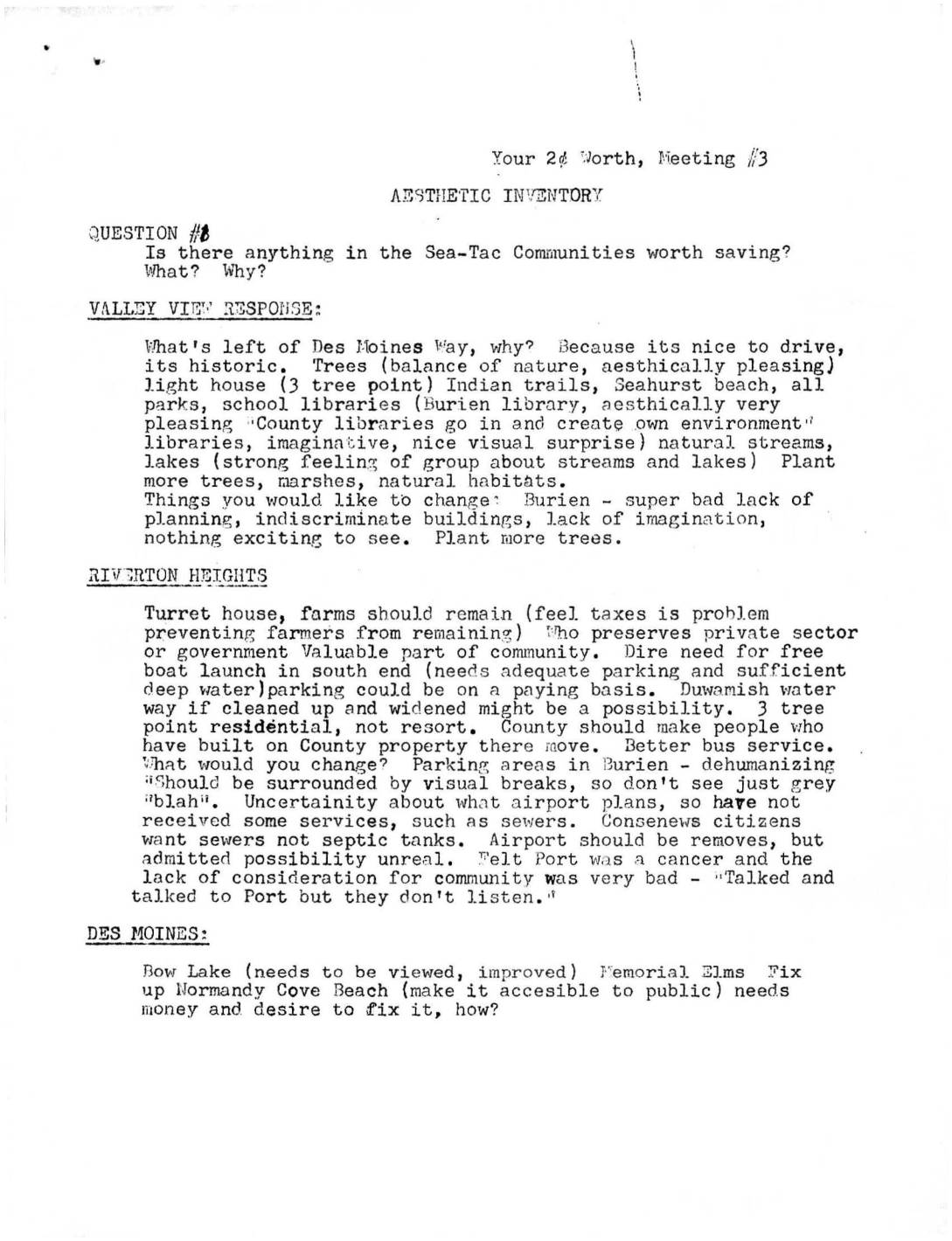
Your 2¢ Worth, Meeting #3: Aesthetic Inventory — Sea-Tac Communities
Community members from Sea-Tac area neighborhoods gathered at Meeting #3 to identify local assets worth preserving—including trees, parks, historic routes, natural streams, and unique communities like Seahurst—and to voice concerns about poor planning, airport noise, and lack of public services. Residents called for comprehensive planning, revised building codes, tax incentives for aesthetically pleasing development, and stronger government action to protect green spaces and waterfront access. Frustration with the Port of Seattle's unresponsiveness to community input on noise and development issues was a recurring theme across multiple neighborhood groups. -
 2022-11-29
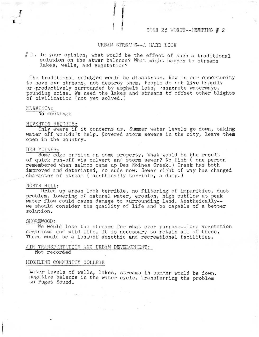
Your 2¢ Worth — Meeting #2: Urban Streams, A Hard Look
Community meeting notes from the Highline area (near Sea-Tac) capture neighborhood group responses to questions about urban streams and stormwater management. Residents from areas including Des Moines, North Hill, Shorewood, and Riverton Heights expressed strong opposition to traditional drainage solutions such as culverts and concrete channels, citing harm to water balance, wildlife, and quality of life. Groups broadly favored preserving natural streams for recreational, aesthetic, and ecological benefits, while debating appropriate levels of public access. -
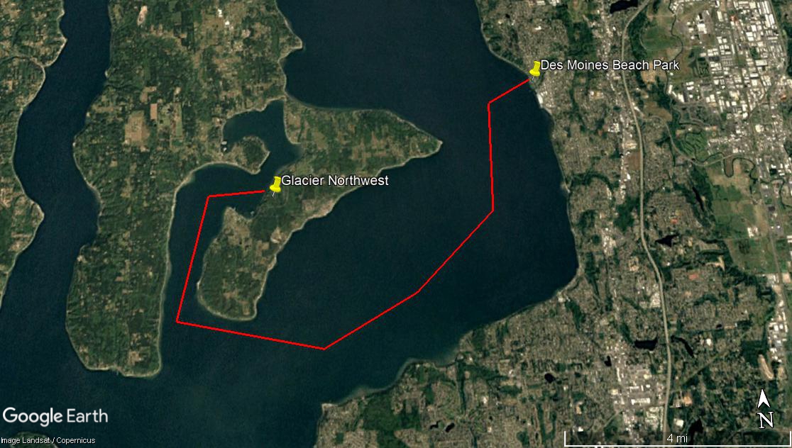
Maury Island Barge Path to Des Moines Beach Park
A Google Earth satellite image (Landsat/Copernicus imagery) showing a red polygon outlining an area of Puget Sound near Vashon Island, with yellow pins marking Glacier Northwest and Des Moines Beach Park. The map covers approximately 4 miles of water between what appears to be a peninsula near Glacier Northwest's facility and the Des Moines, Washington shoreline.