TagDes Moines(255)
-
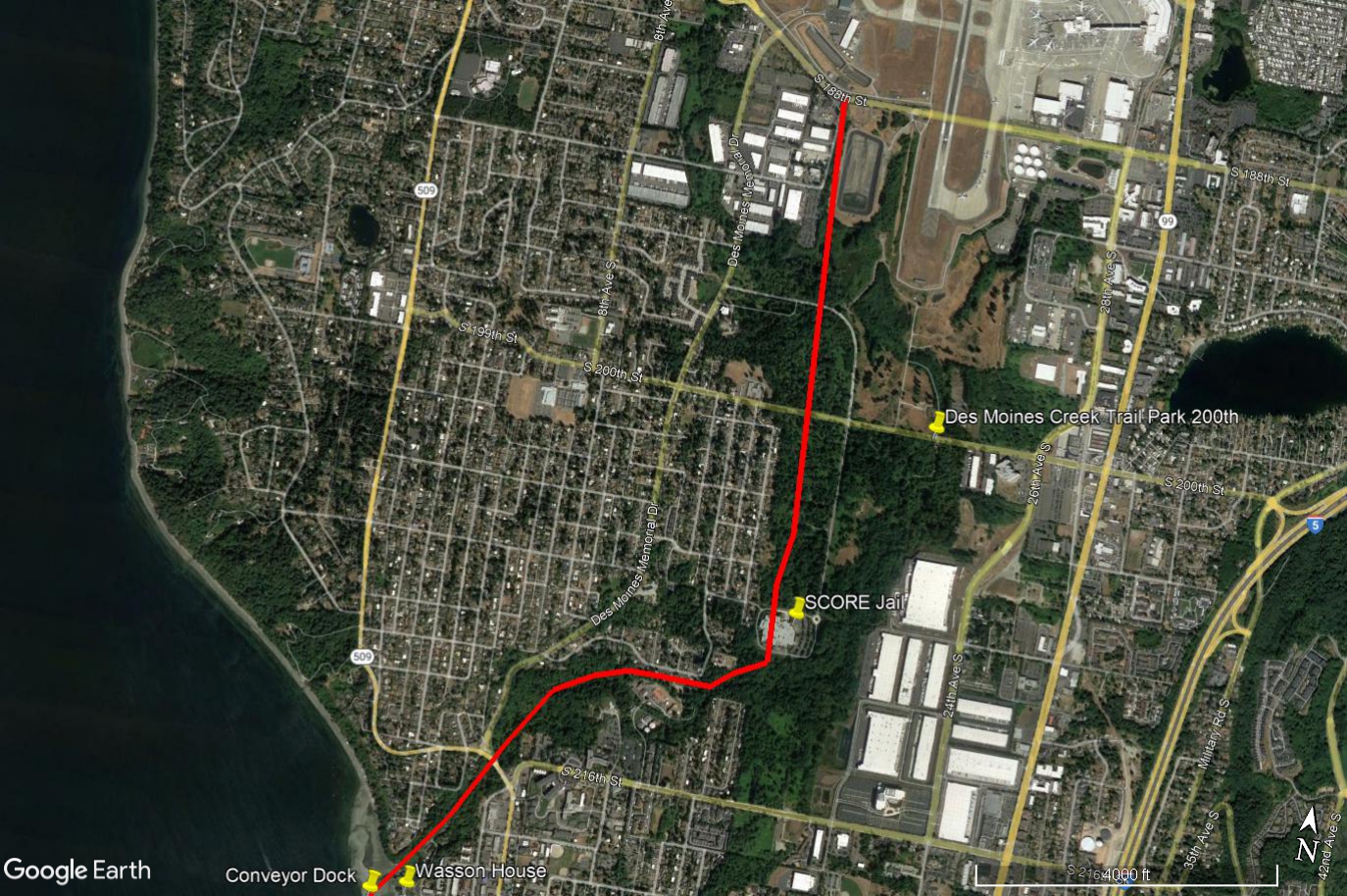
Don Wasson House, Des Moines Marina, Google Earth View to Third Runway
Google Earth satellite image of Des Moines, Washington, showing a red line tracing a route from the Wasson House and Conveyor Dock area near the waterfront northward through the Des Moines Creek Trail corridor to S 188th St near Sea-Tac Airport. Labeled landmarks include the SCORE Jail, Des Moines Creek Trail Park 200th, Des Moines Memorial Drive, and Highway 509, with the route passing through the airport's noise-impacted green buffer zone. -
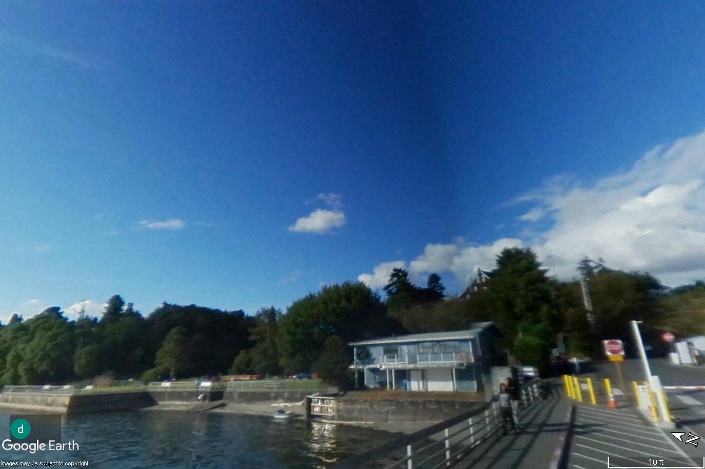
Don Wasson House Des Moines Marina from fishing Pier
A Google Earth ground-level image shows a waterfront dock area with a two-story glass-fronted building, a seawall, yellow bollards, a stop sign, and trees on a hillside under a blue sky. The Google Earth watermark and scale bar (10 ft) are visible; no Sea-Tac Airport or noise-policy-related content is present in this image. -
 2022-09-16
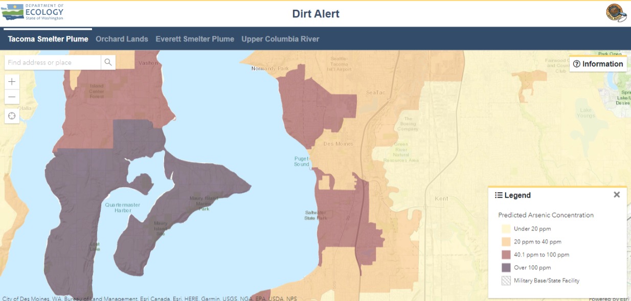
Washington State Ecology Dirt Alert Map: Tacoma Smelter Plume Arsenic Concentrations Near Sea-Tac Airport
A screenshot of the Washington State Department of Ecology's 'Dirt Alert' web mapping application showing the Tacoma Smelter Plume tab, displaying predicted arsenic soil concentrations across the south King County / Pierce County area including SeaTac, Des Moines, Vashon Island, and Maury Island. The legend indicates concentration zones ranging from under 20 ppm (light yellow) to over 100 ppm (dark purple), with SeaTac Airport and surrounding communities falling within the 40.1–100 ppm range. -
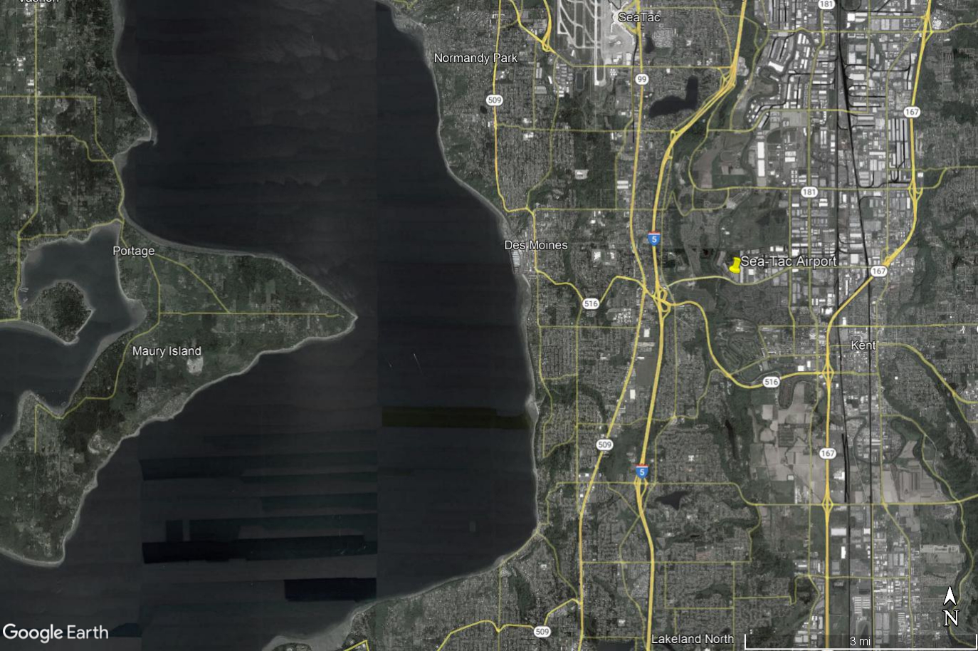
Google Earth Aerial View: Sea-Tac Airport to Maury Island and Des Moines Beach Noise-Impact Study Area
Google Earth aerial/satellite image showing Seattle-Tacoma International Airport (Sea-Tac) and surrounding communities including Des Moines, Normandy Park, Kent, Maury Island, and Portage, with Interstate 5, SR-509, SR-516, and SR-167 visible. The image includes a yellow pin marker at Sea-Tac Airport and covers the broader noise-impact study area west of Puget Sound to east of the airport corridor. -
-

-
 2022-09-15
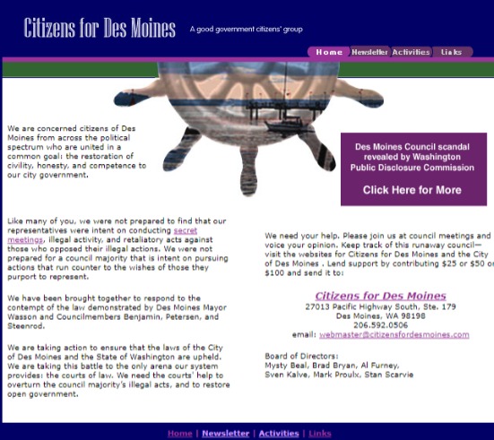
Citizens for Des Moines – Good Government Advocacy Website
Screenshot of the 'Citizens for Des Moines' website, a self-described good government citizens' group located at 27013 Pacific Highway South, Ste. 179, Des Moines, WA 98198. The site references a Des Moines Council scandal revealed by the Washington Public Disclosure Commission and names board members including Mysty Beal, Brad Bryan, Al Furney, Sven Kalve, Mark Proulx, and Stan Scarvie. -
 2022-09-12
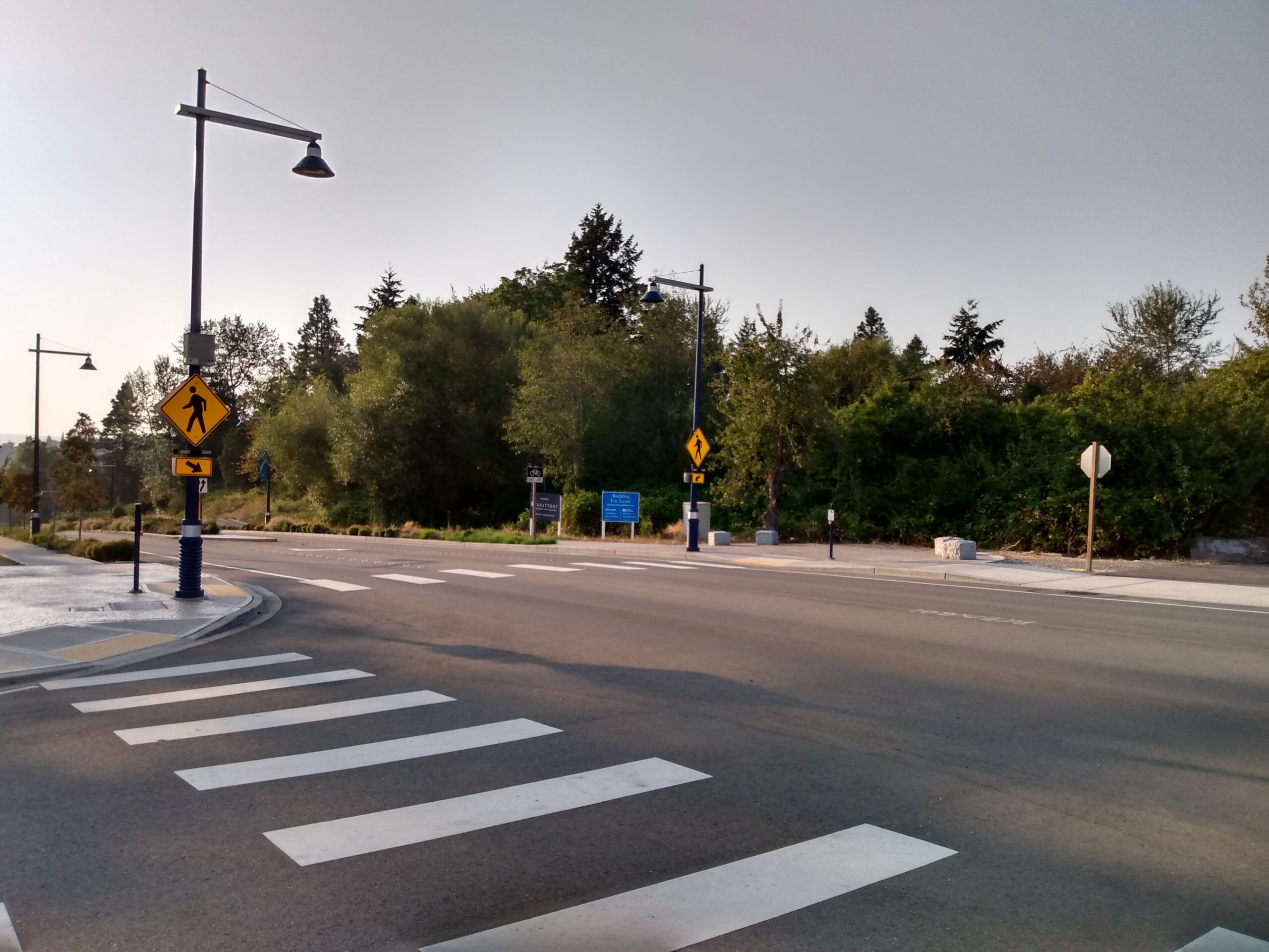
Pedestrian Crosswalk With Warning Signage Near Landscaped Roadway
A newly constructed or recently improved roadway intersection featuring marked crosswalks, pedestrian warning signs (yellow diamond), decorative street lamps with dark blue poles, and a blue informational sign in the background. The infrastructure appears modern, with concrete curb ramps and ornamental landscaping consistent with a planned commercial or transit-oriented development area. -
 2022-09-12
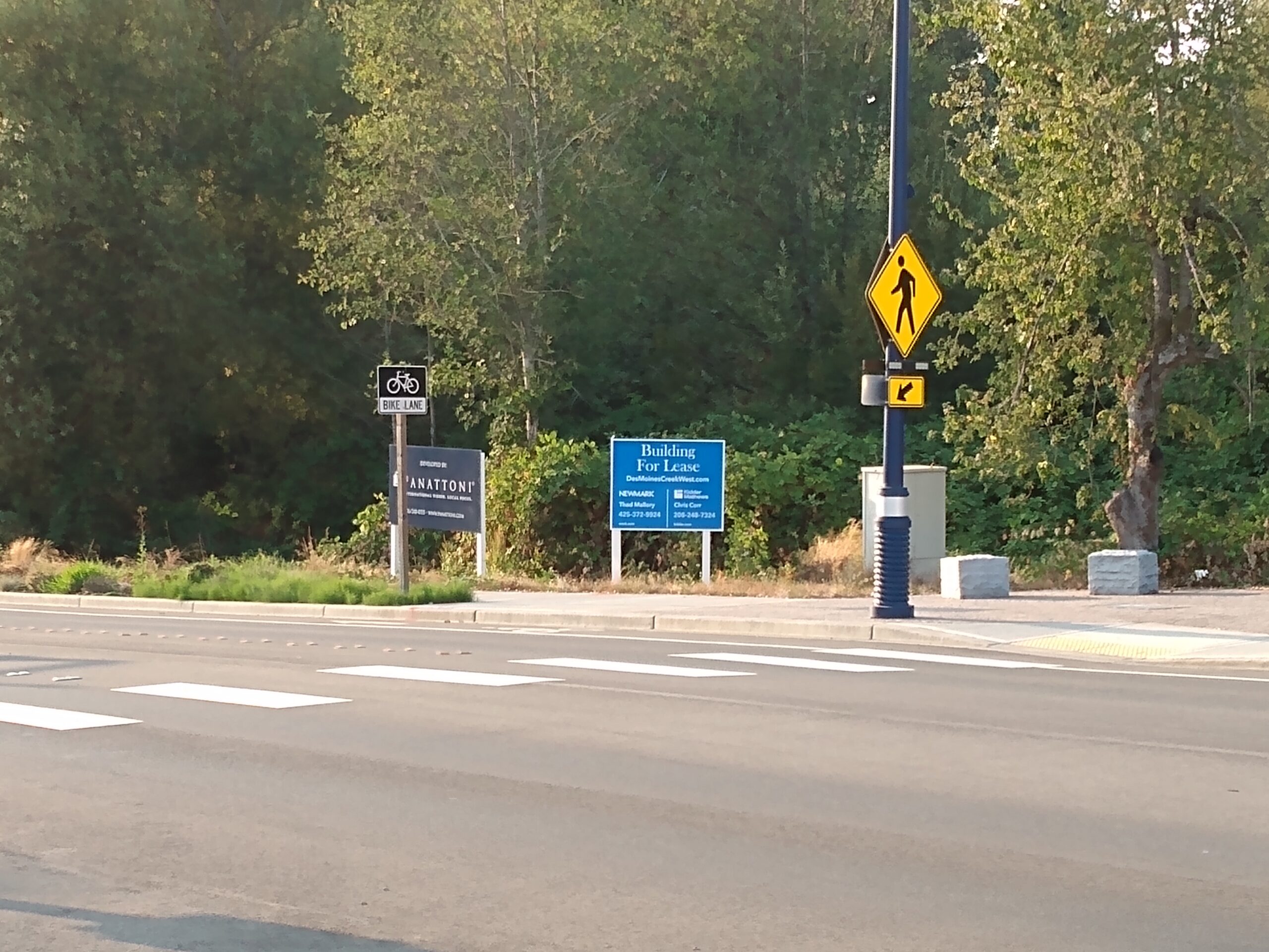
Des Moines Creek West Building For Lease Sign at Pedestrian Crossing
A blue commercial real estate sign reads 'Building For Lease – DesMoinesCreekWest.com,' listed by Newmark brokers Thad Mallory (425-272-0924) and Chris Corr (206-248-7324) of Kidder Mathews. Also visible are a Panattoni Development Company sponsorship sign for the bike lane, a bicycle lane sign, and a pedestrian crossing warning sign at what appears to be a multi-lane arterial road near Des Moines Creek West, a Panattoni industrial development in the Sea-Tac area. -
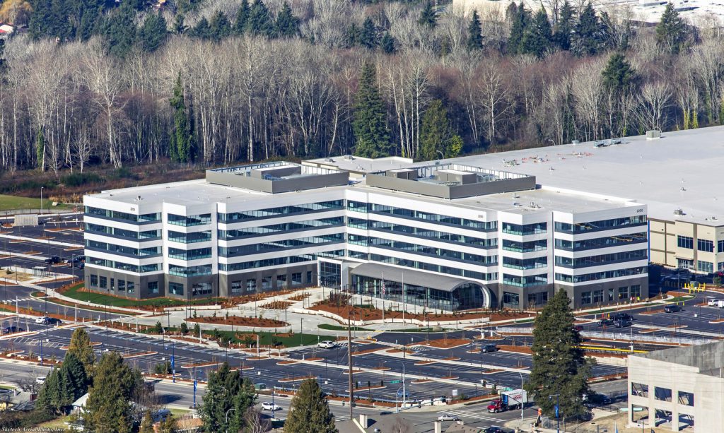
FAA Northwest Mountain Regional Office
Aerial photograph showing a large U-shaped or H-shaped contemporary office building of approximately five to six stories, featuring alternating white and dark horizontal banding with extensive glazing. A watermark reading 'Skytech Aerial Photos, Inc.' is visible in the lower left corner, indicating professional aerial photography services.