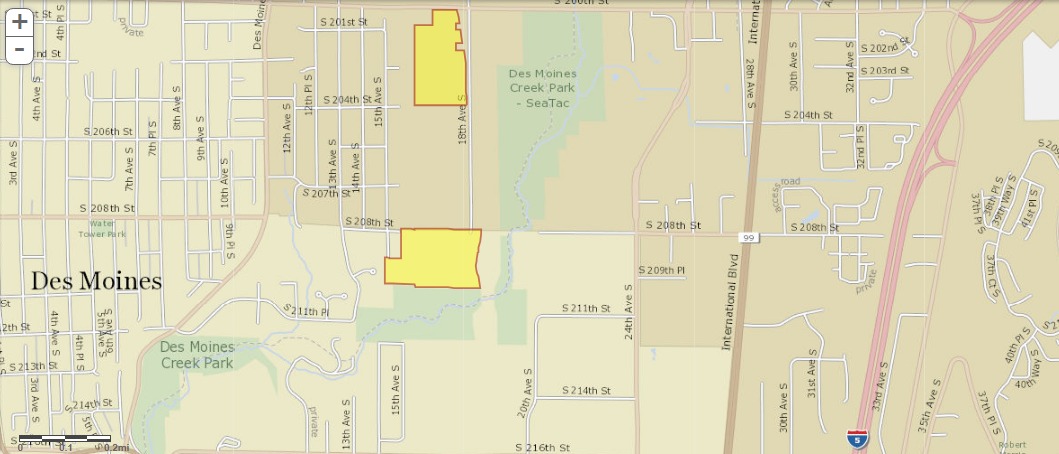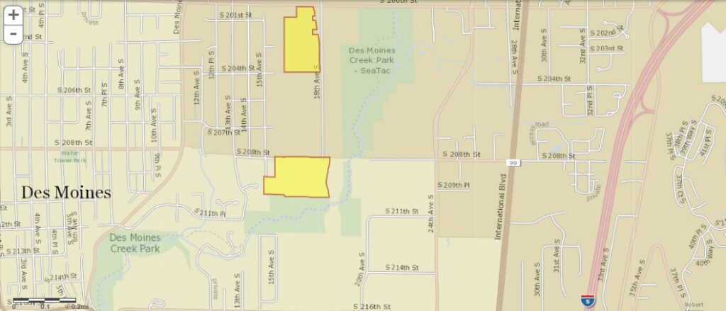
A street map showing the Des Moines and SeaTac area of Washington State, with two parcels highlighted in yellow/orange near Des Moines Creek Park and along 18th Ave S between approximately S 201st St and S 208th St. The map shows International Blvd (SR-99) and Interstate 5 to the east, in an area relevant to Sea-Tac Airport noise impact zones.Open full document
Notes
A street map showing the Des Moines and SeaTac area of Washington State, with two parcels highlighted in yellow/orange near Des Moines Creek Park and along 18th Ave S between approximately S 201st St and S 208th St. The map shows International Blvd (SR-99) and Interstate 5 to the east, in an area relevant to Sea-Tac Airport noise impact zones.