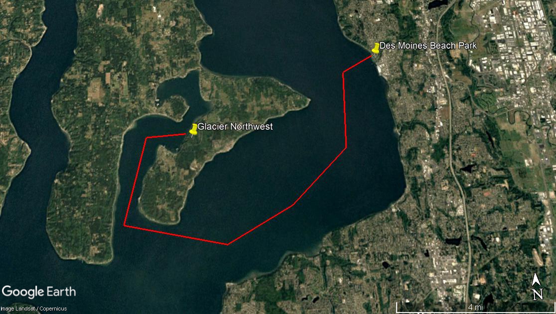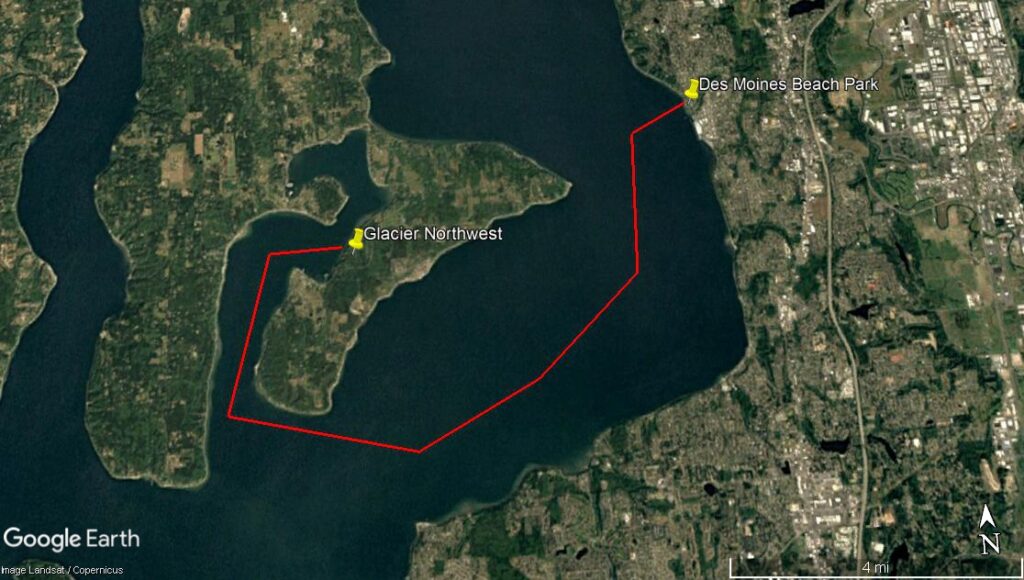
A Google Earth satellite image (Landsat/Copernicus imagery) showing a red polygon outlining an area of Puget Sound near Vashon Island, with yellow pins marking Glacier Northwest and Des Moines Beach Park. The map covers approximately 4 miles of water between what appears to be a peninsula near Glacier Northwest's facility and the Des Moines, Washington shoreline.Open full document
Notes
A Google Earth satellite image (Landsat/Copernicus imagery) showing a red polygon outlining an area of Puget Sound near Vashon Island, with yellow pins marking Glacier Northwest and Des Moines Beach Park. The map covers approximately 4 miles of water between what appears to be a peninsula near Glacier Northwest’s facility and the Des Moines, Washington shoreline.