TagDes Moines Creek(162)
-
 2018-09-10
Attachment 4d: Scoping Comments Received — Actual Comments with Assigned Topic Code
This document contains public scoping comments from a September 10, 2018 hearing, including testimony from Jill Aldrich, a property owner of over 50 years, who raised concerns about a building site on 24th Avenue South near Des Moines Creek. She described observing bulldozed dirt and construction activity in close proximity to a stream located in a King County-designated Critical Area, visible from the Des Moines Creek Trail. Her comments reflect community concerns about environmental protection of nearby waterways during nearby development. -
 2018-07-13
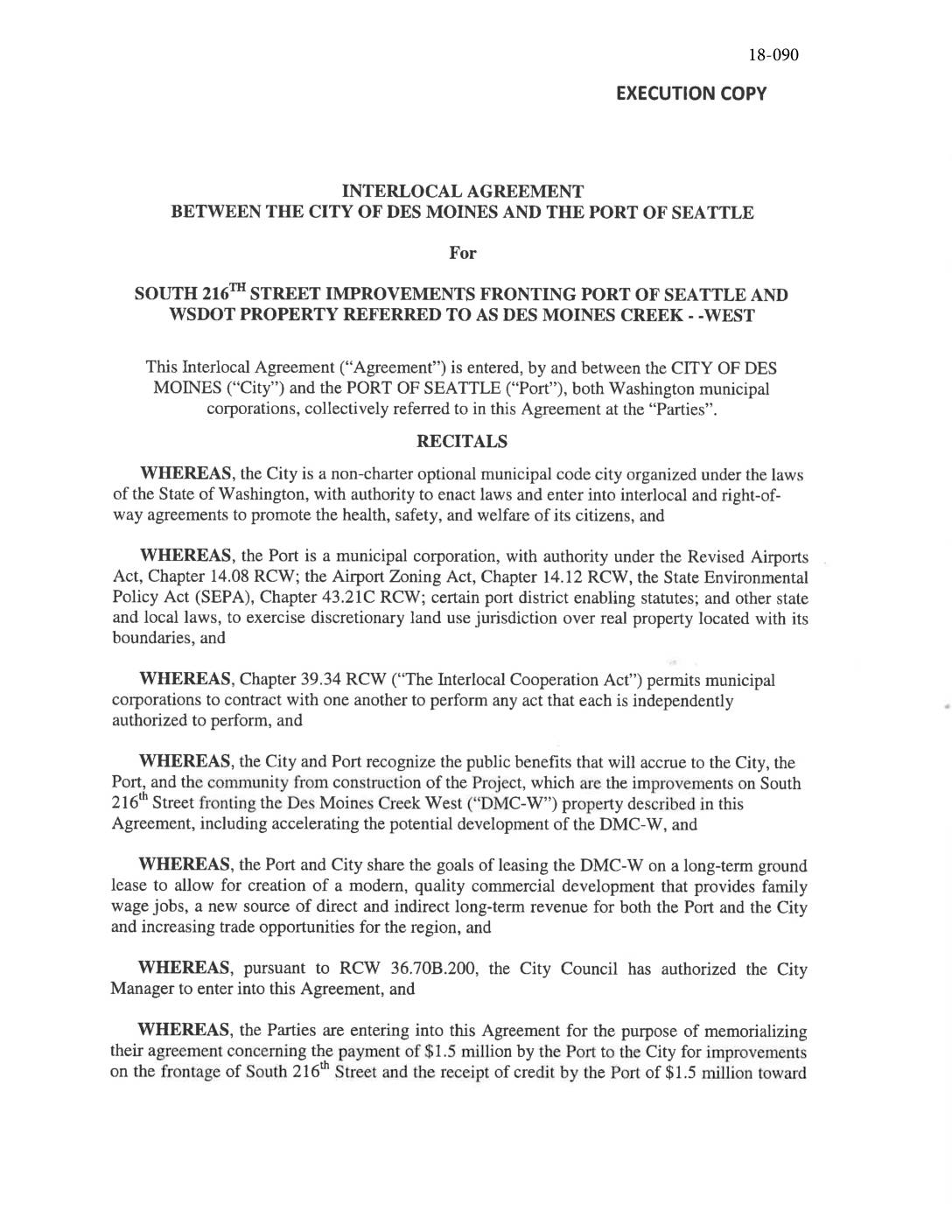
Interlocal Agreement Between the City of Des Moines and the Port Of Seattle for South 216th Street Improvements Fronting Port Of Seattle and WSDOT Property Referred to as Des Moines Creek West
This 2018 interlocal agreement between the City of Des Moines and the Port of Seattle outlines a cost-sharing arrangement for street improvements along South 216th Street, adjacent to the Des Moines Creek West (DMC-W) property near Sea-Tac Airport. The Port agreed to pay $1.5 million toward road upgrades accommodating pedestrians, cyclists, transit, and freight, with that payment credited against any future transportation impact fees tied to DMC-W development. The agreement also sets the stage for long-term ground leasing and commercial development of the approximately 20-acre DMC-W site to generate jobs and revenue for both parties. -
 2013-11-01
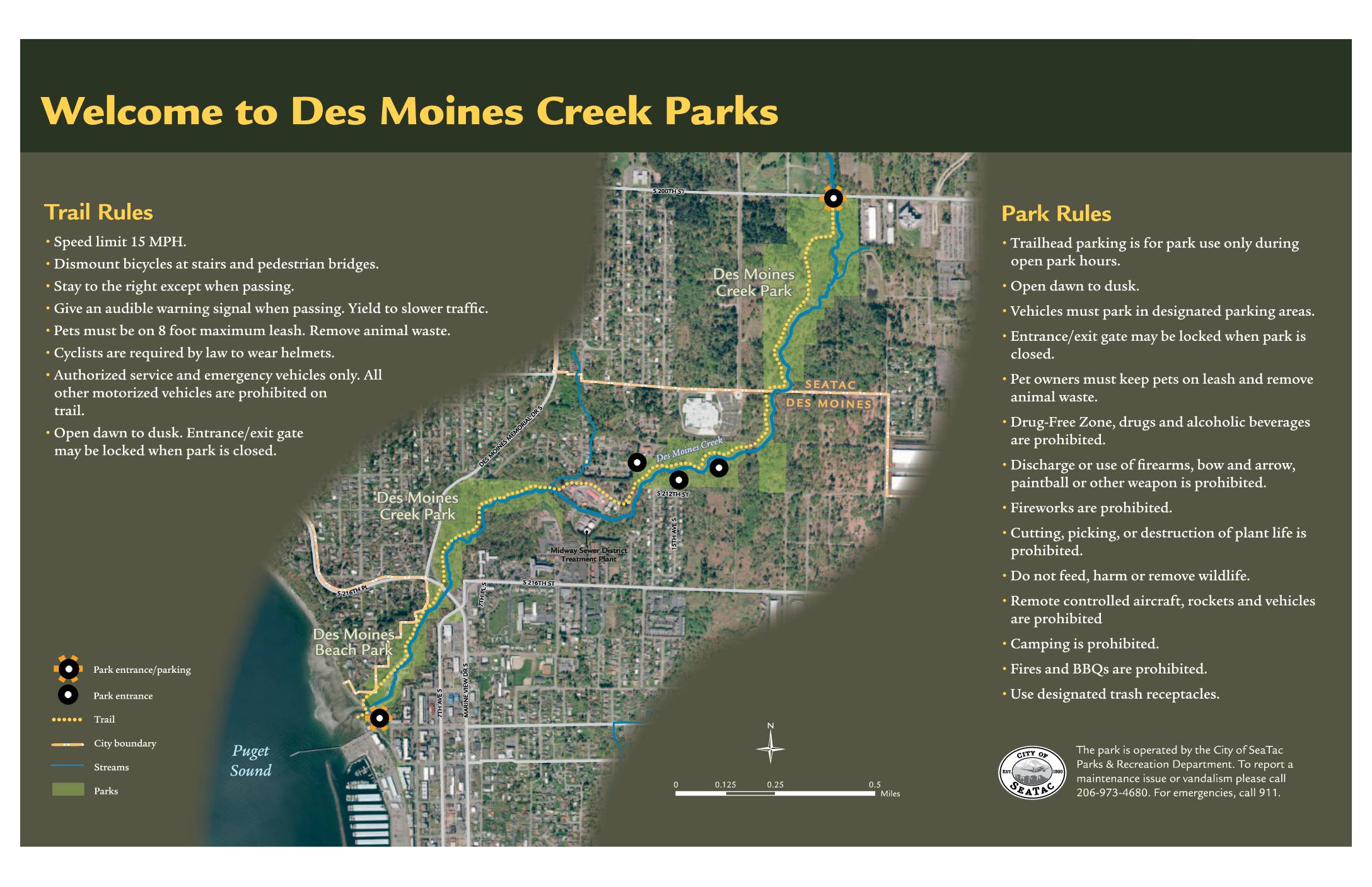
Welcome to Des Moines Creek Parks: Trail Rules, Park Rules, and Ecological Enhancements Map
Des Moines Creek Parks, located near Sea-Tac Airport in the cities of SeaTac and Des Moines, Washington, offers a multi-use trail system with a 15 MPH speed limit, helmet requirements for cyclists, and a dawn-to-dusk schedule. The park prohibits alcohol, firearms, camping, fires, and motorized vehicles, while requiring pets to remain on leash. A regional partnership between the Cities of SeaTac and Des Moines, Port of Seattle, King County, and the Washington State Department of Transportation has led to ecological restoration efforts along Des Moines Creek, including stormwater detention facilities, high-flow bypass pipes, fish passage improvements, and native plant restoration to support salmon and other wildlife. -
 2013-02-19
As-Built Report: Tyee Valley Golf Course Mitigation — US Army Corps of Engineers Permit No. 1996-4-02325
This February 2013 report documents the as-built conditions of a wetland mitigation project at Tyee Valley Golf Course, carried out as part of Seattle-Tacoma International Airport's 1997 Master Plan Update. Prepared by ESA for the Port of Seattle under a US Army Corps of Engineers permit, it details construction outcomes, planting plans, and habitat restoration work completed to offset environmental impacts from airport improvements. The report also outlines ongoing vegetation and hydrologic monitoring standards to ensure the mitigation site meets long-term performance goals. -
 2012-01-01
A Case Study of Climate Change Impacts on Wetlands: Des Moines Creek Regional Detention Facility
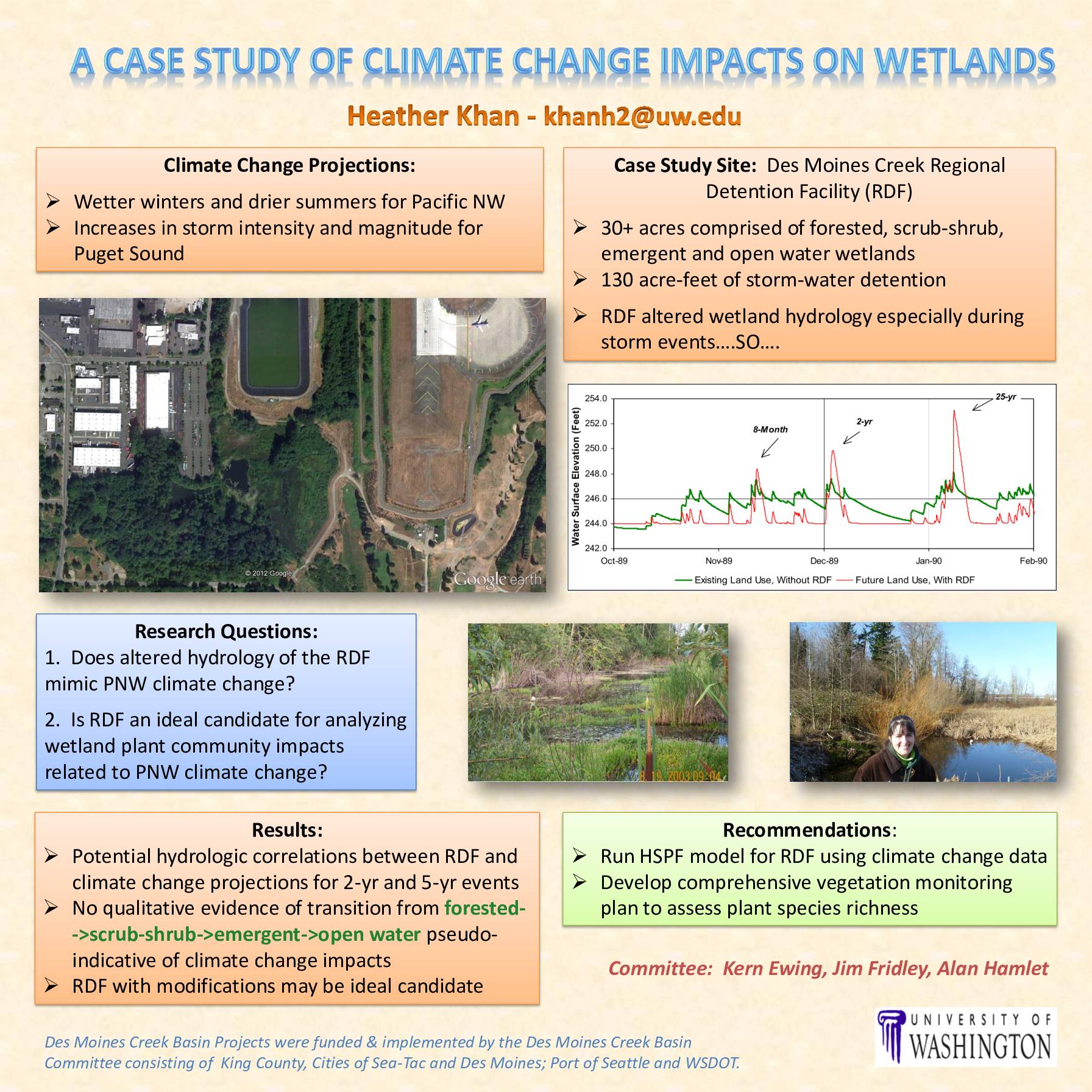
A University of Washington case study examines whether the Des Moines Creek Regional Detention Facility (RDF), a 30+ acre stormwater management site near Sea-Tac Airport, can serve as a model for understanding how projected Pacific Northwest climate changes—wetter winters, drier summers, and stronger storms—may affect local wetland ecosystems. Researchers found potential hydrologic similarities between the RDF's altered water patterns and regional climate change projections, though no clear vegetation shifts were observed. The study recommends further hydrologic modeling and a comprehensive plant monitoring program to better assess long-term wetland impacts. -
 2009-02-01
Des Moines Creek Flood Mitigation Project: Wetland and Stream Determination Report and Conceptual Mitigation and Restoration Plan
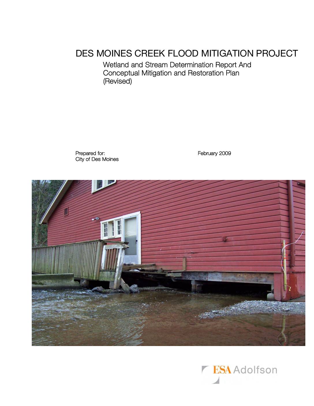
This 2009 technical report, prepared by ESA Adolfson for the City of Des Moines, Washington, documents wetland and stream conditions along Des Moines Creek as part of a flood mitigation project at Des Moines Beach Park. The park, a National Register Historic District since 2006, contains historic buildings built over or adjacent to the creek that are vulnerable to flood damage. The report outlines wetland delineations, stream boundary determinations, and a conceptual plan to reduce flood risk while addressing environmental mitigation and restoration requirements. -
 2004-03-09
Miller and Walker Basins: Parcels likely to redevelop
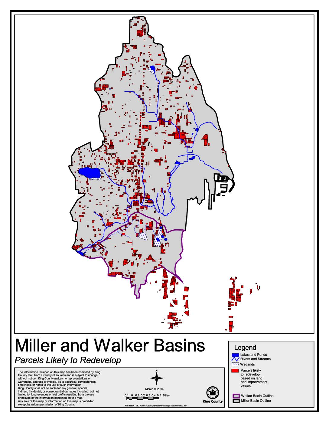
This King County map, dated March 9, 2004, identifies parcels within the Miller and Walker Basins that are likely to redevelop based on land and improvement values. It highlights features such as lakes, ponds, rivers, streams, and wetlands alongside redevelopment-candidate parcels marked in red. The map was produced by King County staff using data from multiple sources and is intended to support land use planning in these two drainage basins. -
 2002-10-23
EXH AR028386: Potential Mitigation Sites Evaluated in the Miller Creek and Des Moines Creek Watersheds
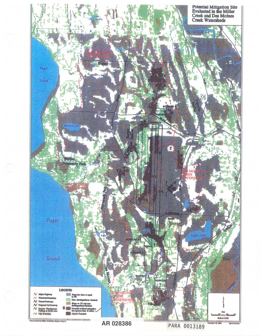
Map (AR 028386, PARA 0013189) showing potential mitigation sites evaluated in the Miller Creek and Des Moines Creek watersheds near Sea-Tac Airport. Displays numbered mitigation sites greater than 10 acres, airport runways (present and proposed 3rd runway), borrow/warehouse/parking/SABA areas, watershed boundaries, Puget Sound shoreline, Burien, Normandy Park, SeaTac, Angle Lake, Bow Lake, Burien Lake, Lake -
 2002-10-23
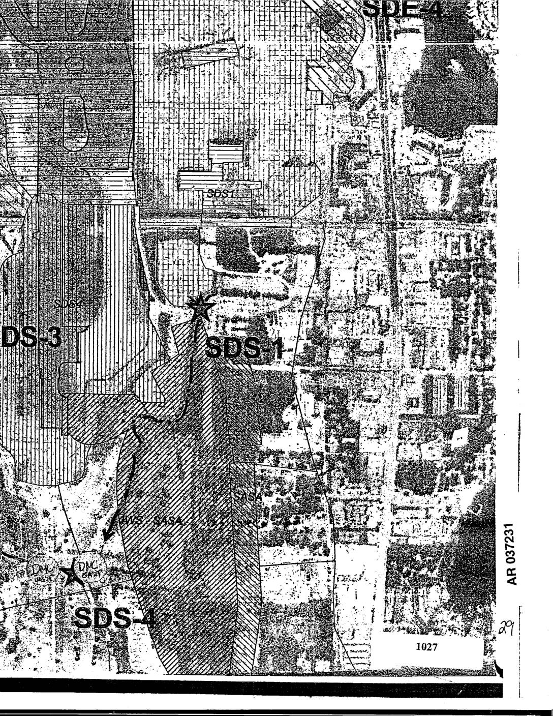
EXH AR037231: Sea-Tac Airport Area Map Showing SDS-1, SDS-3, SDS-4, SDE-4 Site Designations
Aerial map exhibit AR037231 showing site designation zones SDS-1, SDS-3, SDS-4, and SDE-4 in the Sea-Tac Airport vicinity, with DMC markers and parcel 1027 visible. Map includes hatched overlay areas indicating site boundaries and land use zones near Des Moines Creek and surrounding neighborhoods. Filed as exhibit in administrative record. -
 2002-10-22
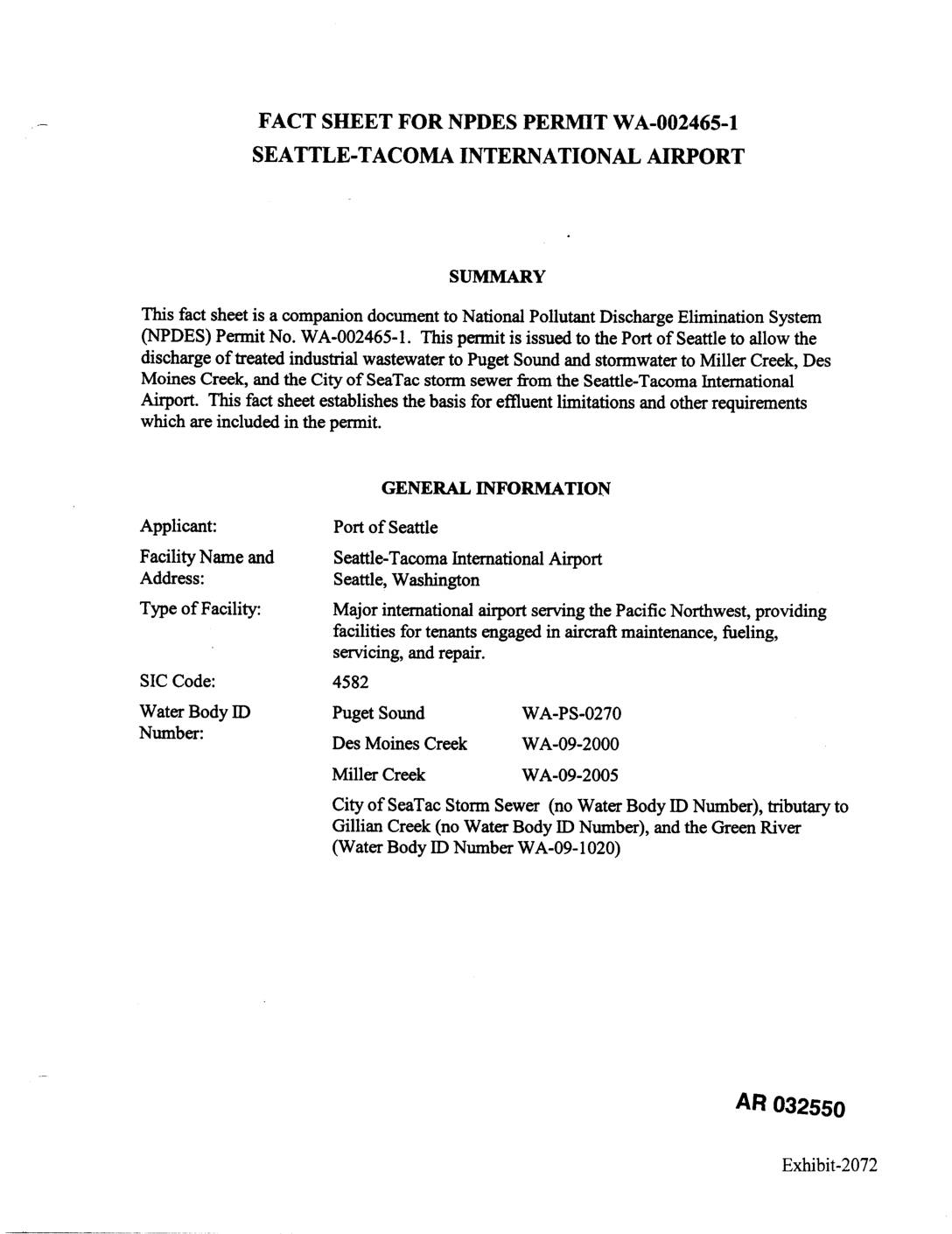
EXH 2072: Fact Sheet NPDES Permit WA-002465-1 STIA
This document is a fact sheet accompanying an NPDES (National Pollutant Discharge Elimination System) permit issued to the Port of Seattle for Seattle-Tacoma International Airport, governing how the airport manages and discharges treated industrial wastewater and stormwater. It covers discharge locations into Puget Sound, Des Moines Creek, Miller Creek, and the City of SeaTac storm sewer system, and establishes effluent limitations and monitoring requirements. The permit addresses water quality standards, pollution prevention plans, and compliance schedules to protect surrounding waterways from airport-related contaminants.