TagDes Moines Creek(162)
-
 2026-07-15
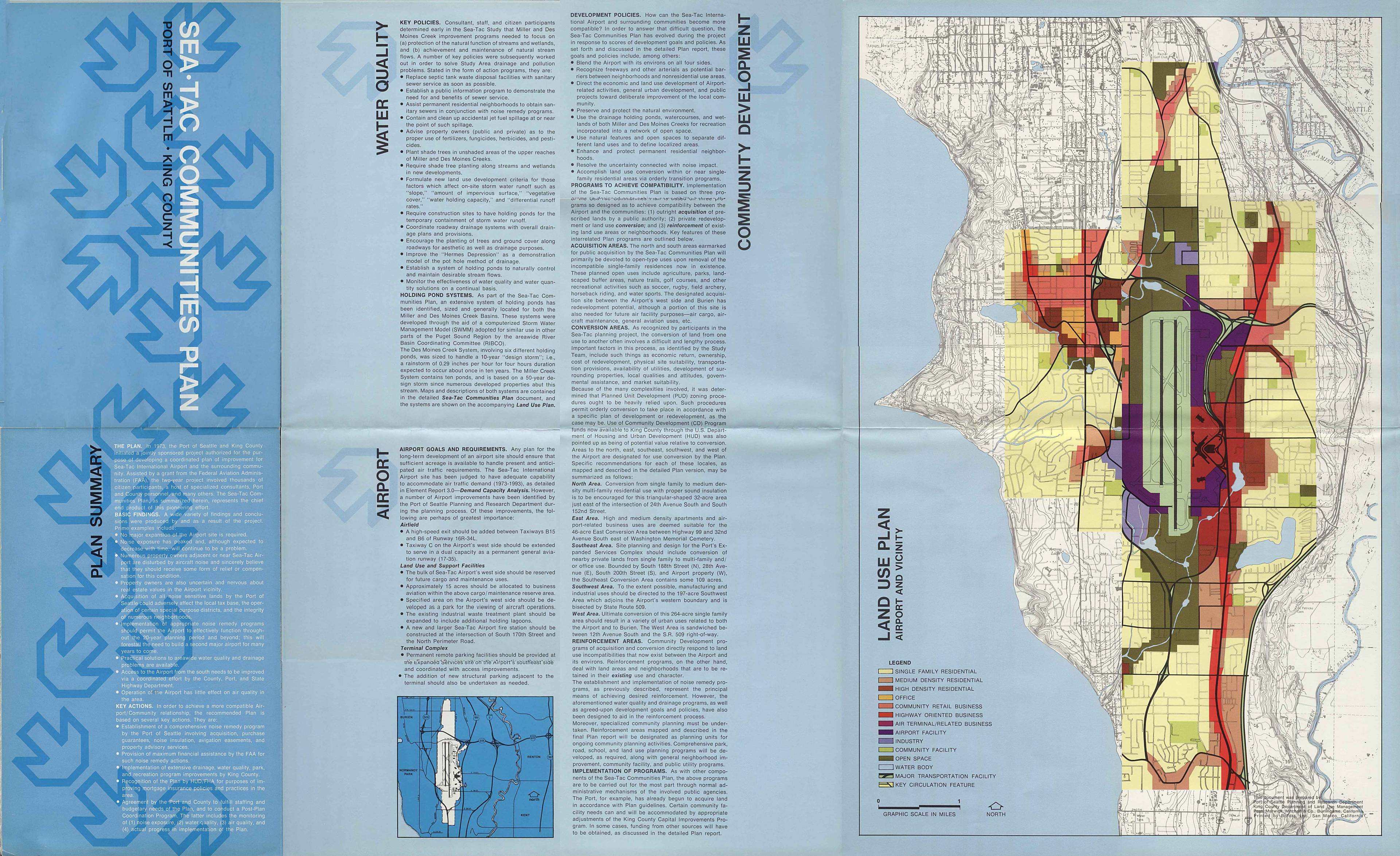
Sea-Tac Communities Plan: Water quality, airport, and community development
The Sea-Tac Communities Plan outlines strategies to improve compatibility between Seattle-Tacoma International Airport and surrounding neighborhoods, focusing on water quality, drainage, and land use. Key programs include public acquisition of noise-impacted residential areas for open space and recreation, conversion of single-family zones to higher-density or commercial uses, and reinforcement of existing neighborhoods through noise remedy and infrastructure improvements. The plan also addresses environmental concerns such as stream protection, holding pond systems for stormwater management, and pollution control near Miller and Des Moines Creeks. -
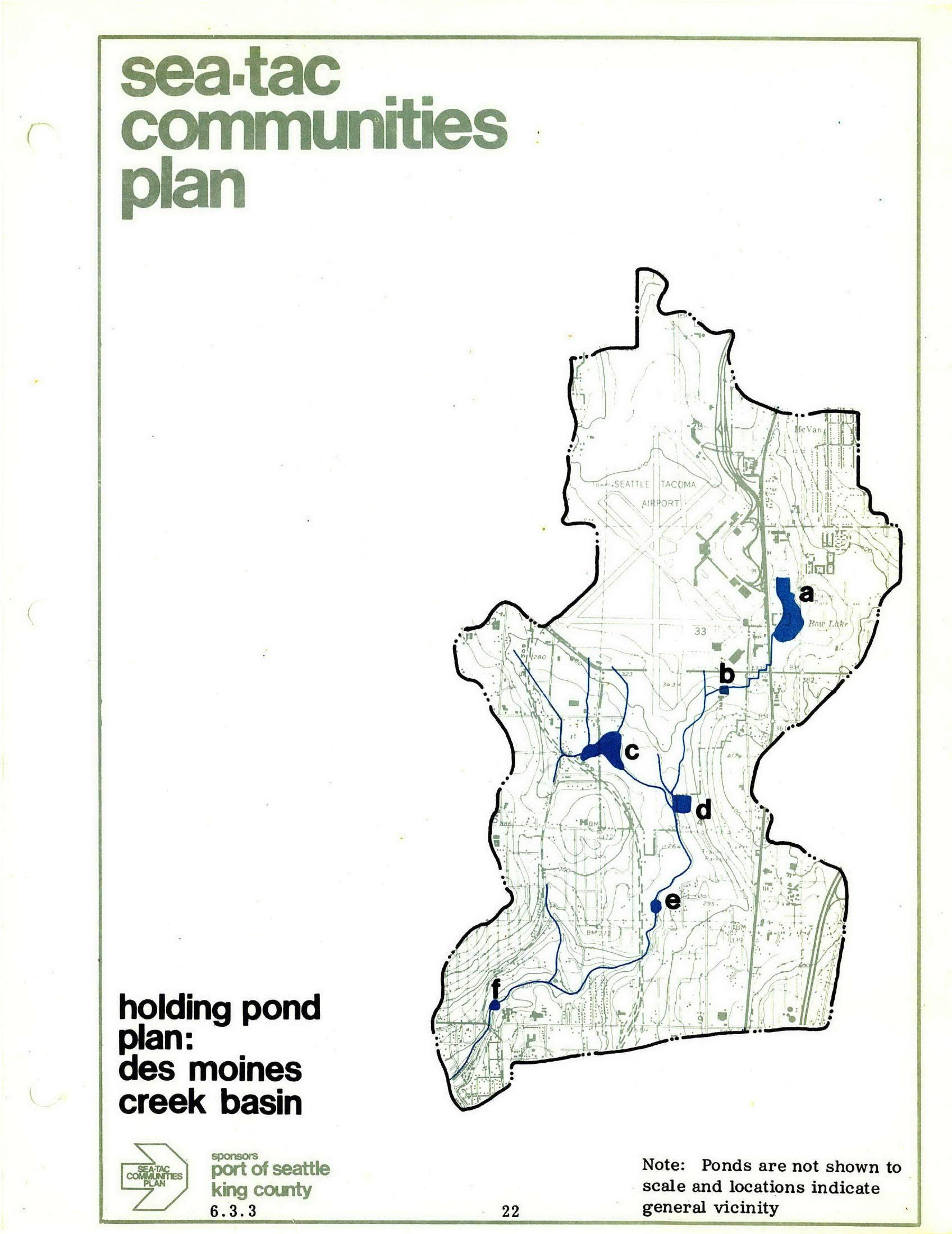
STCP Des Moines Creek Basin Holding Pond Plan
A planning map from the Sea-Tac Communities Plan, sponsored by the Port of Seattle and King County, showing the Des Moines Creek Basin holding pond locations (labeled a through f) in relation to Seattle-Tacoma Airport and surrounding areas, including Hog Lake. A note indicates ponds are not shown to scale and locations indicate general vicinity only. -
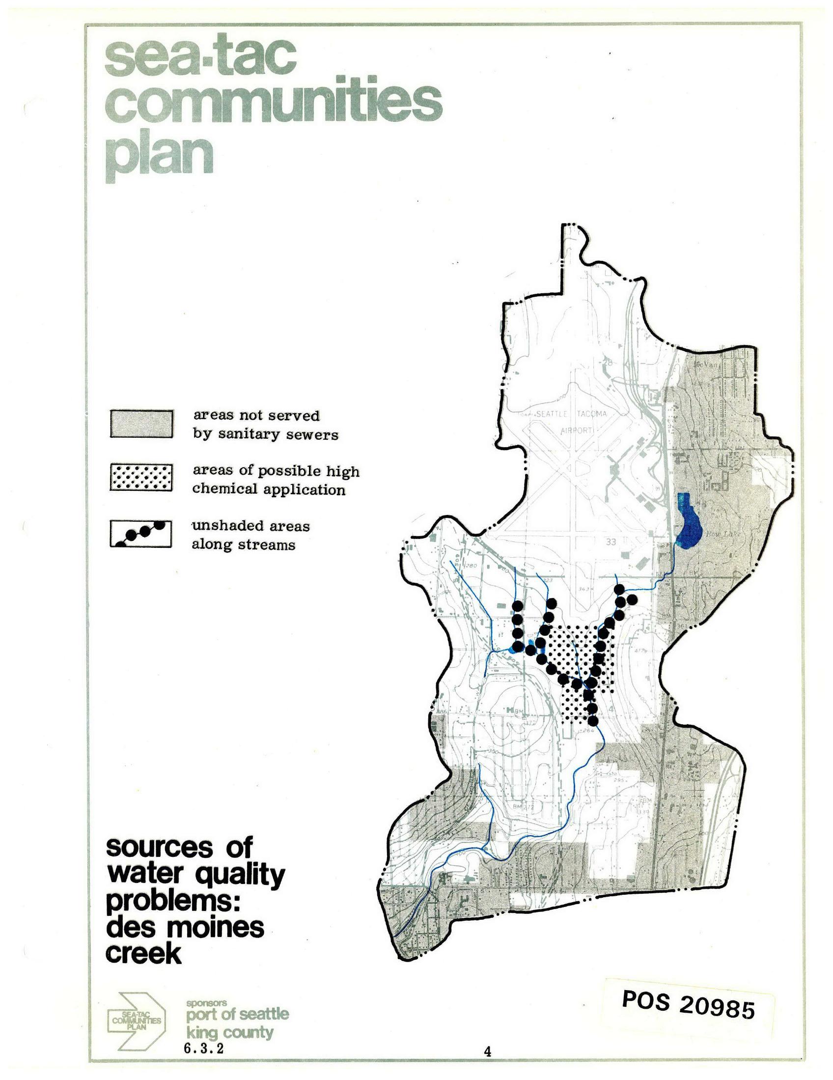
Sea-Tac Communities Plan — Sources of Water Quality Problems in Des Moines Creek
A planning map from the Sea-Tac Communities Plan (document number POS 20985, section 6.3.2), sponsored by the Port of Seattle and King County, identifying sources of water quality problems in Des Moines Creek. The map legend distinguishes areas not served by sanitary sewers, areas of possible high chemical application, and unshaded areas along streams, with the Seattle-Tacoma Airport prominently shown. -
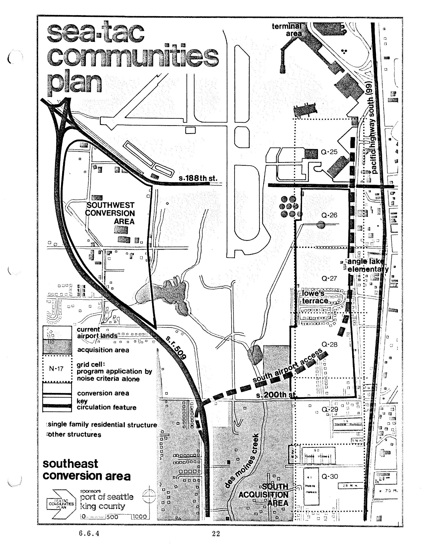
Sea-Tac Communities Plan Chapter 6 Page 22 — Southeast Conversion Area Map
This is page 22 (section 6.6.4) of the Sea-Tac Communities Plan, sponsored by the Port of Seattle and King County. The map depicts the Southeast Conversion Area near Seattle-Tacoma International Airport, showing grid cells, acquisition areas, current airport lands, key circulation features including S.R. 509 and South Airport Access road, and named landmarks such as Angle Lake Elementary, Lowe's Terrace, Des Moines Creek, and street references including S. 188th St. and S. 200th St. -
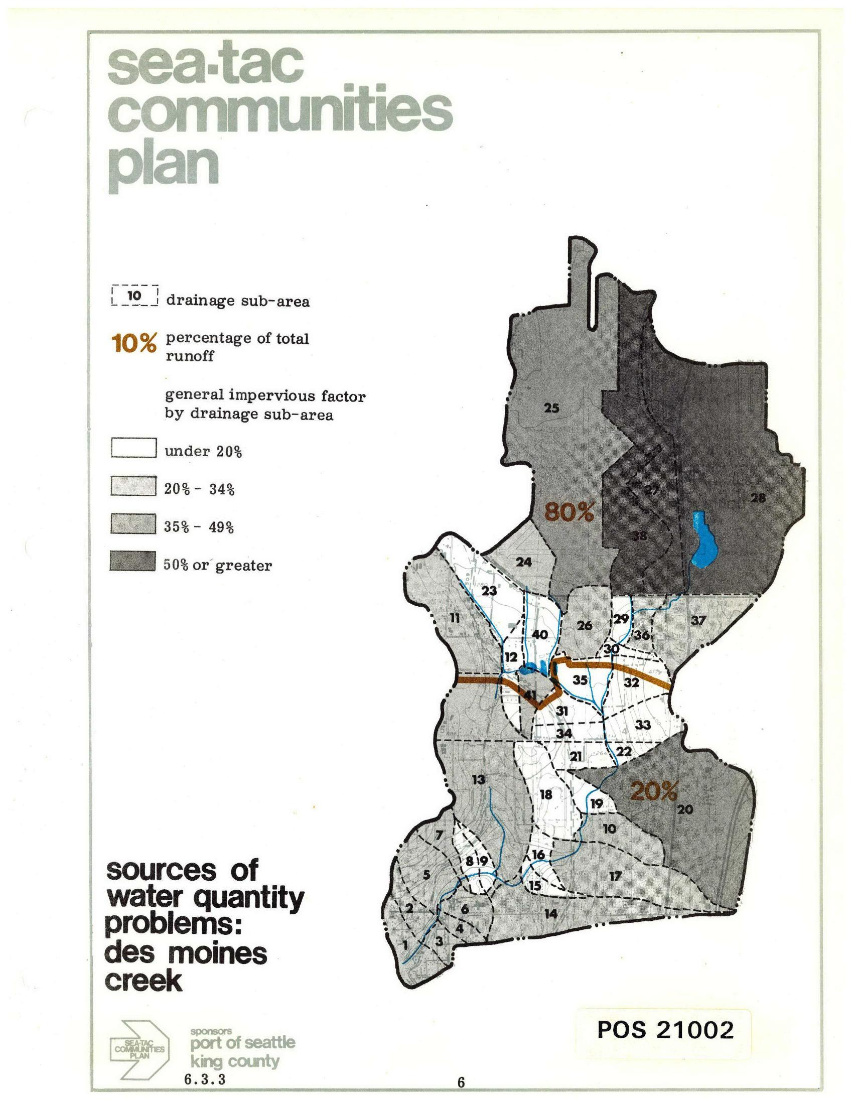
Sea-Tac Communities Plan: Des Moines Creek Drainage Sub-Areas and Runoff Sources
A planning map from the Sea-Tac Communities Plan (document POS 21002, section 6.3.3) showing drainage sub-areas for Des Moines Creek, with impervious surface factors ranging from under 20% to 50% or greater, and annotating that 80% of total runoff originates from the northern sub-areas and 20% from the southern sub-areas. Sponsored by the Port of Seattle and King County. -
 2025-04-01
24th Ave and 216th DMCBP
Street-level view of a signalized intersection at S 216th St (visible on green street sign), featuring commercial/industrial warehouse buildings, landscaped medians, and overhead utility lines. The area is consistent with the industrial corridor near Seattle-Tacoma International Airport in the Kent/Des Moines, Washington region. -
 2024-10-18
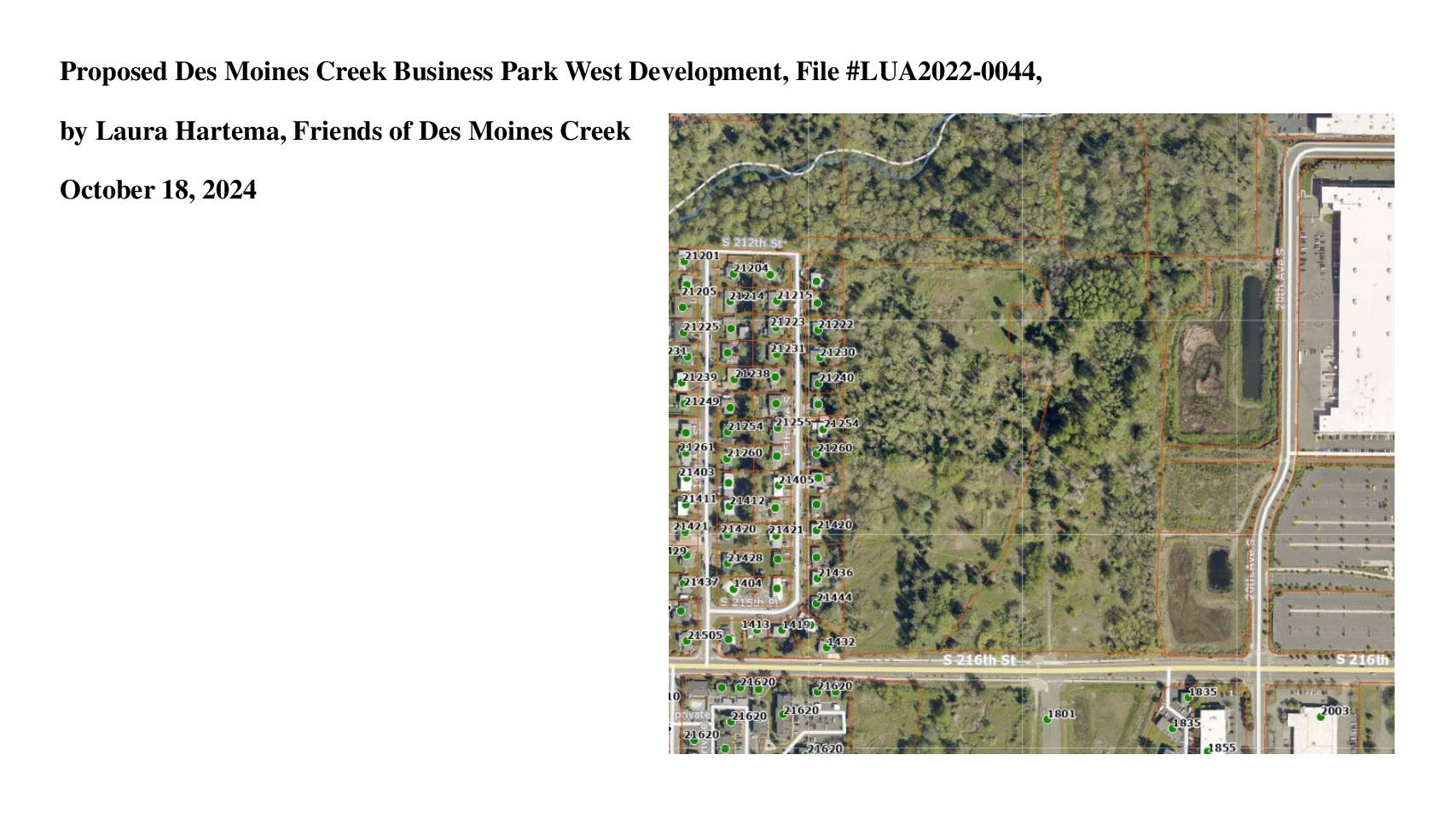
Proposed Des Moines Creek Business Park West Development: Hearing Presentation by Laura Hartema, Friends of Des Moines Creek
Laura Hartema of Friends of Des Moines Creek presented concerns about the proposed Des Moines Creek Business Park West Development (File #LUA2022-0044) in October 2024, highlighting significant environmental impacts including the removal of over 500 trees, filling of wetlands and streams, and more than 30 acres of site disturbance. The presentation compared 1936 and 2023 aerial photos showing the area remains largely forested, and raised issues such as arsenic in soils, stormwater management concerns, and negative effects on neighboring residential properties. The group argues the project requires more thorough environmental review to demonstrate it will not cause significant harm to critical natural areas and the surrounding community. -
 2024-07-08
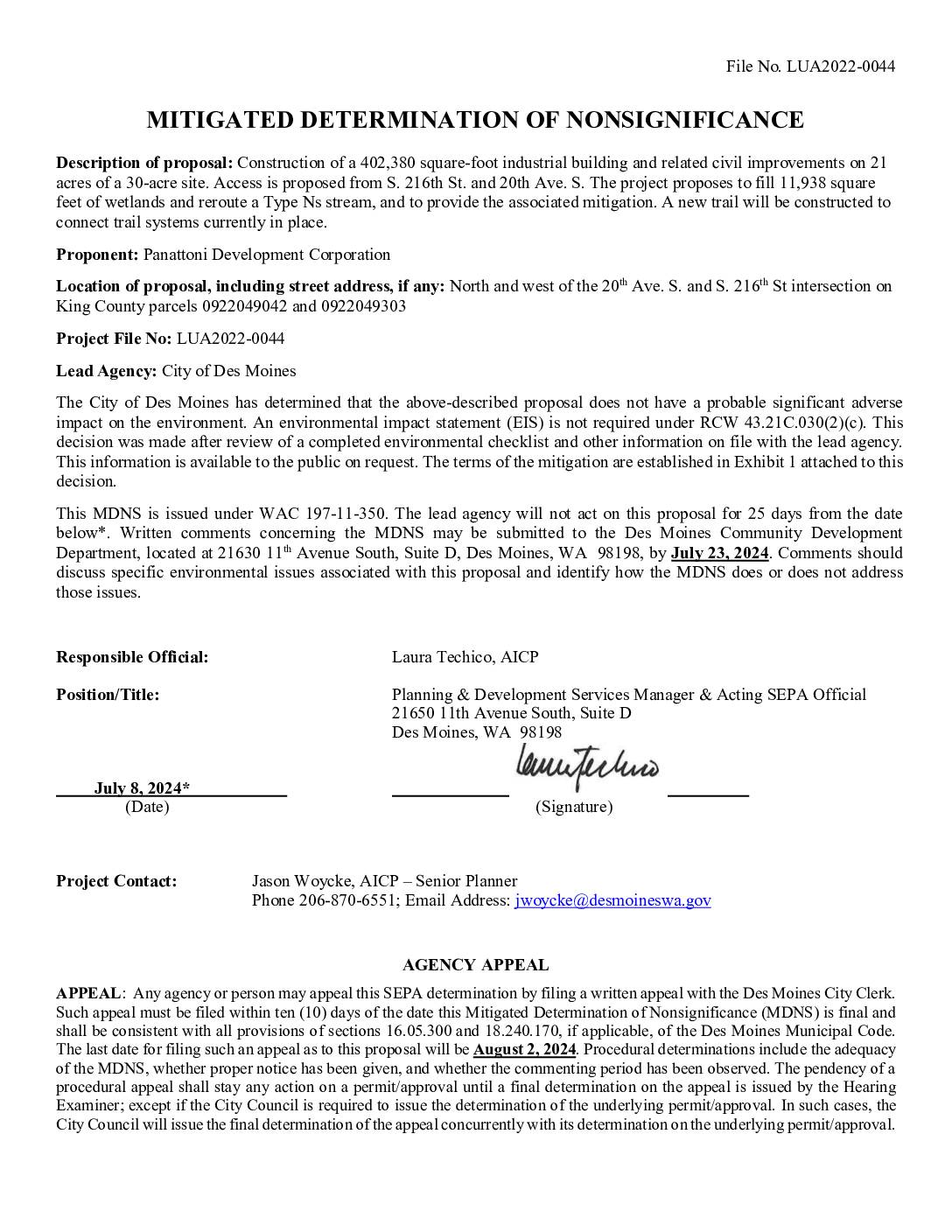
Mitigated Determination of Nonsignificance: Des Moines Creek Business Park West (LUA2022-0044)
The City of Des Moines issued a Mitigated Determination of Nonsignificance (MDNS) for a proposed 402,380-square-foot industrial building near Seattle-Tacoma International Airport, finding no significant environmental impact provided certain conditions are met. Key mitigation requirements include wetland and stream protections, long-term environmental monitoring, and compliance with FAA Advisory Circular 150/5200-33C standards to ensure the project's stormwater detention pond does not attract hazardous wildlife that could pose risks to aircraft operations. The decision, issued July 8, 2024, was open for public comment through July 23, 2024, with an appeal deadline of August 2, 2024. -
 2024-06-12
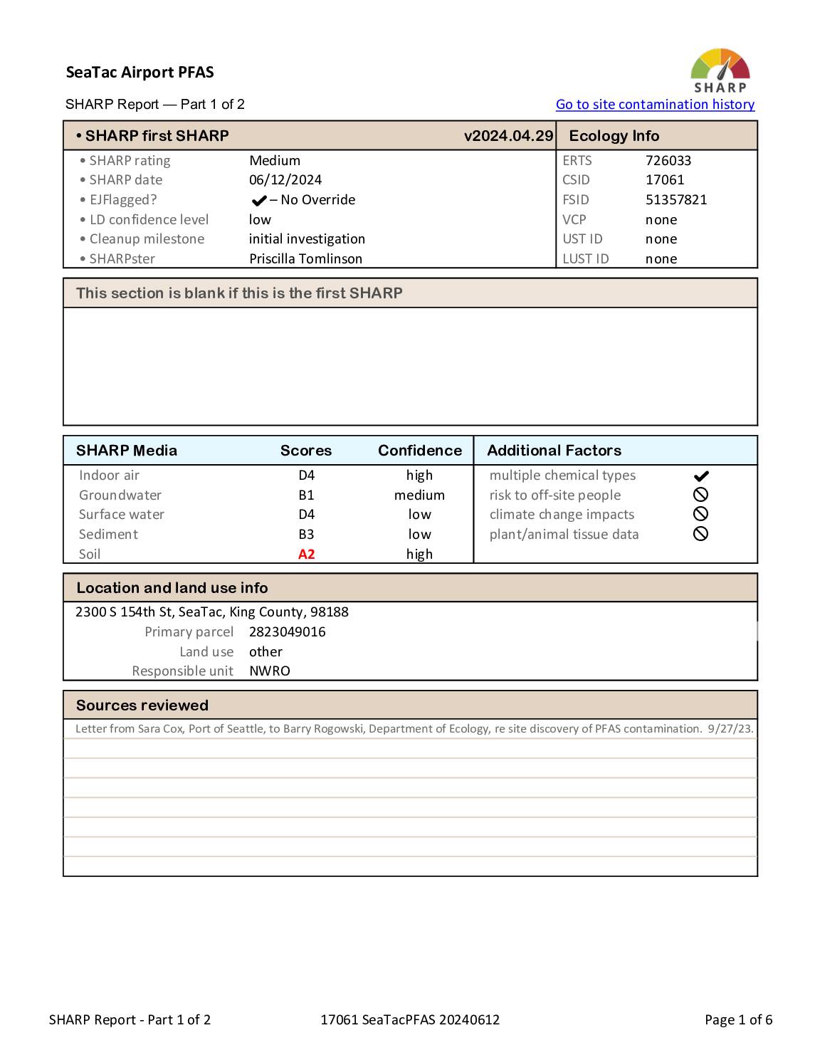
Sea-Tac Airport PFAS SHARP report — part 1 of 2
A SHARP (Site Hazard Assessment Ranking and Prioritization) report for SeaTac Airport covering PFAS contamination identified at four areas: fire station, fuel farm, fire training area, and industrial wastewater system. The report details media scores for groundwater, soil, surface water, sediment, and indoor air, noting concerns about Des Moines Creek and the City of Highline’s -
 2023-11-09
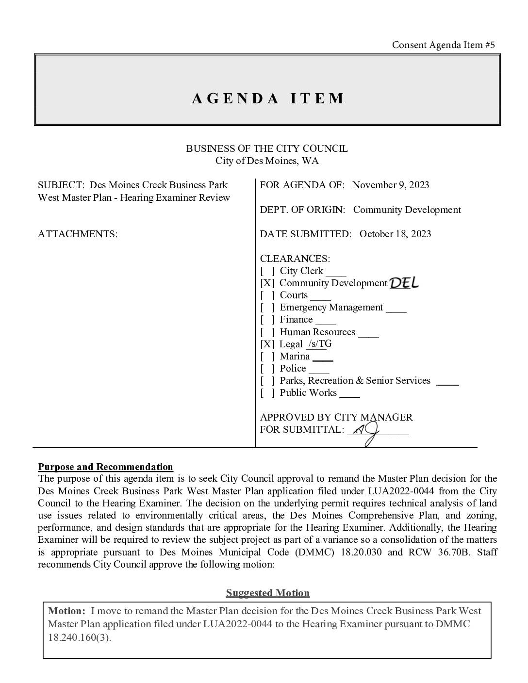
Des Moines Creek Business Park West Master Plan – Hearing Examiner Review
The Des Moines, WA City Council considered a staff recommendation to transfer review of the Des Moines Creek Business Park West Master Plan (LUA2022-0044) from the Council to the city's Hearing Examiner. The proposed 30-acre development near South 216th Street would include a 402,380-square-foot industrial building and requires complex environmental review, including a variance to fill ravine sidewalls and potentially realign a stream. Due to the technical complexity of the land use and environmental issues involved, staff and the City Attorney recommended consolidating the Master Plan review with the required variance before the Hearing Examiner.