Notes
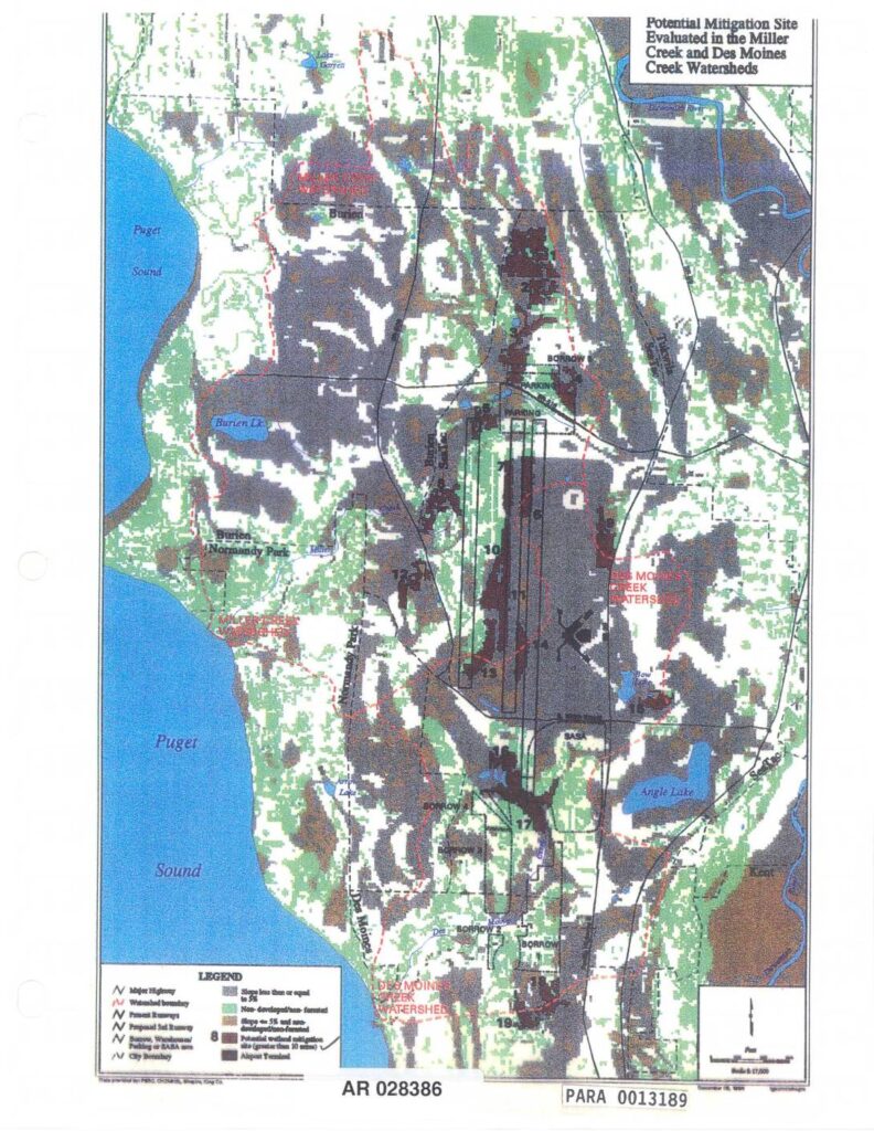
Map (AR 028386, PARA 0013189) showing potential mitigation sites evaluated in the Miller Creek and Des Moines Creek watersheds near Sea-Tac Airport. Displays numbered mitigation sites greater than 10 acres, airport runways (present and proposed 3rd runway), borrow/warehouse/parking/SABA areas, watershed boundaries, Puget Sound shoreline, Burien, Normandy Park, SeaTac, Angle Lake, Bow Lake, Burien Lake, Lake Garrett, non-developed/non-forested land, slopes greater than 5% and non-developed/non-forested land, and city boundaries. Scale 1:17,500.