TagMiller Creek(252)
-
 2026-09-18
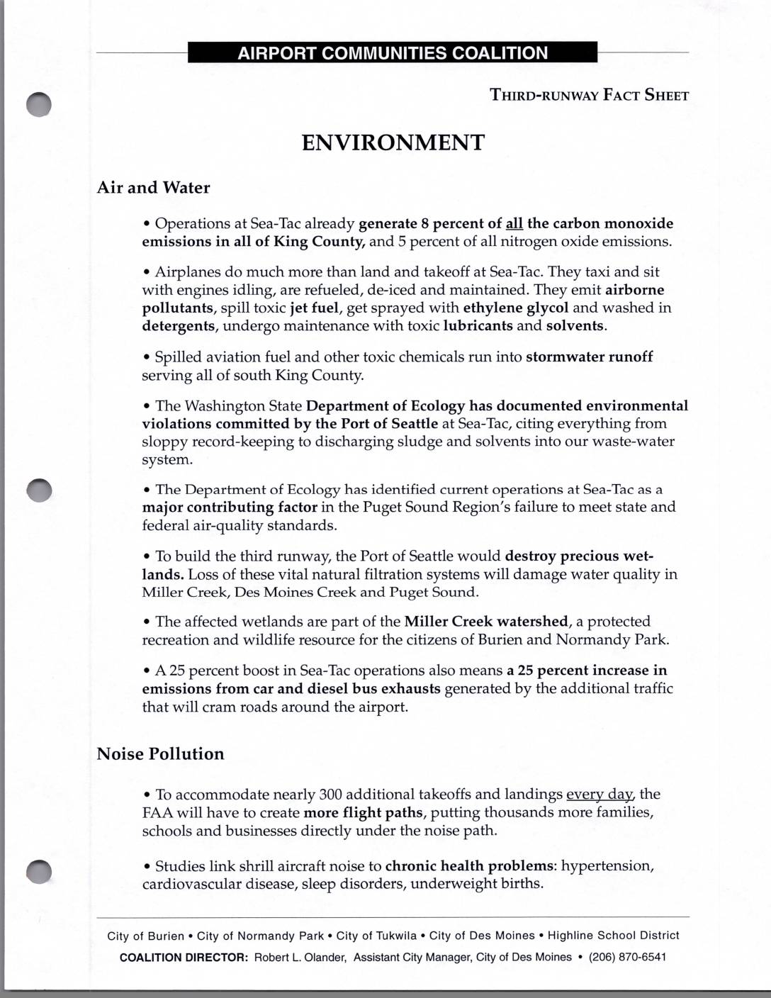
ACC Third-Runway Fact Sheet: Environment, Costs, Schools, and Construction
Airport Communities Coalition (ACC) fact sheet opposing the Sea-Tac Airport third runway, covering environmental, cost, school, and construction impacts. Environmental section documents Sea-Tac generating 8% of King County carbon monoxide and 5% of nitrogen oxide emissions, Washington State Department of Ecology violations by Port Of Seattle including sludge and solvent discharge, destruction of Miller Creek -
2026-09-18
ACC Third-Runway Fact Sheet: Environment, Costs, Schools, and Construction
Airport Communities Coalition (ACC) fact sheet opposing the Sea-Tac Airport third runway, covering environmental, cost, school, and construction impacts. Environmental section documents Sea-Tac generating 8% of King County carbon monoxide and 5% of nitrogen oxide emissions, Washington State Department of Ecology violations by Port Of Seattle including sludge and solvent discharge, destruction of Miller Creek -
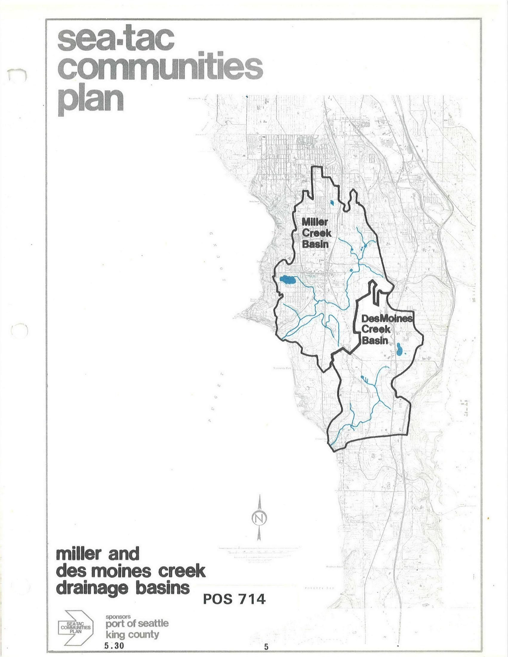
STCP Map: Miller Creek Basin and Des Moines Creek Basin Drainage Areas
A map document (POS 714, section 5.30) from the Sea-Tac Communities Plan, sponsored by the Port of Seattle and King County, depicting the Miller Creek Basin and Des Moines Creek Basin drainage areas with waterways shown in blue. The document is part of a regional planning effort covering communities in the Sea-Tac area of King County, Washington. -
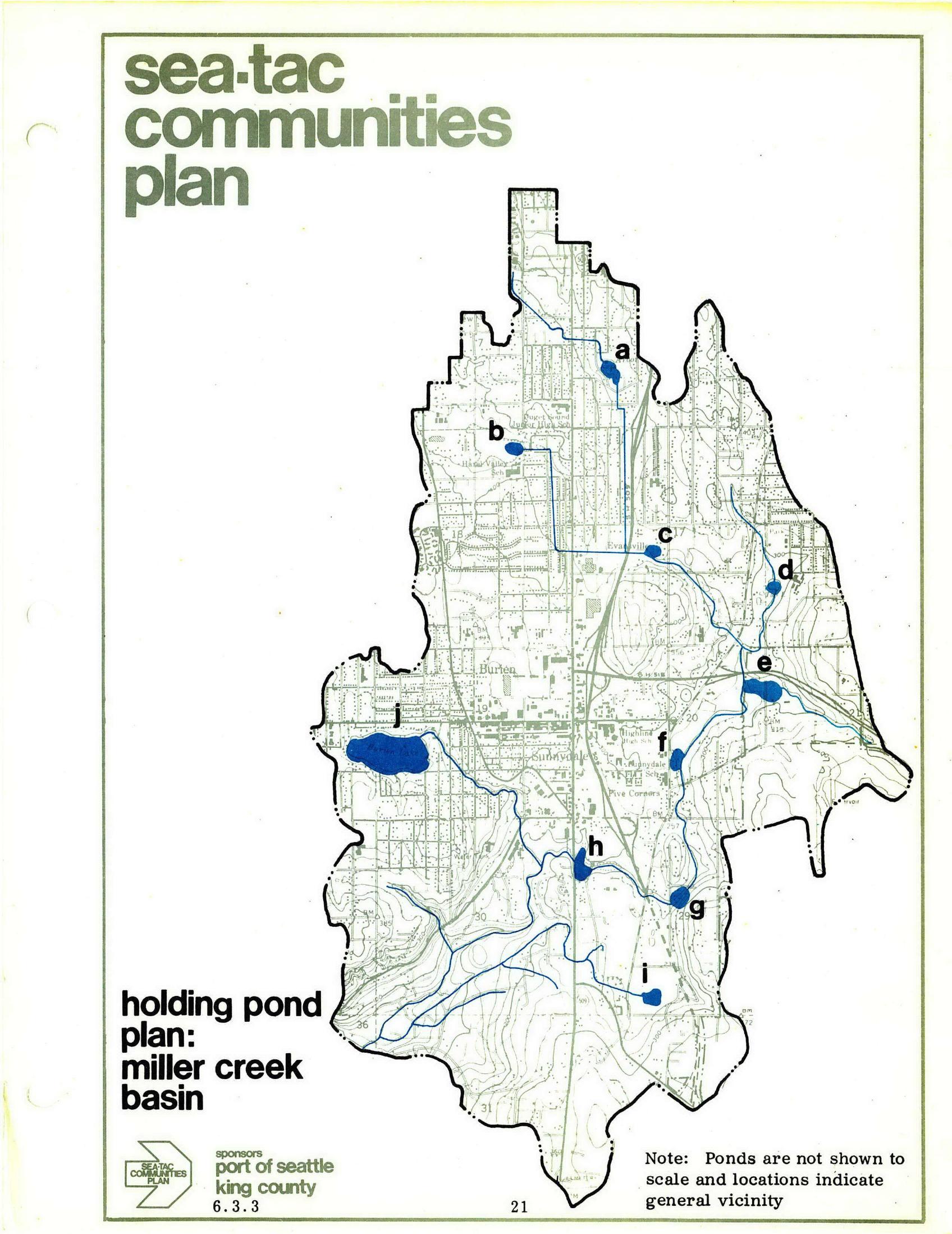
STCP Holding Pond Plan Map — Miller Creek Basin
Page 21 of the Sea-Tac Communities Plan, sponsored by the Port of Seattle and King County, showing a holding pond plan map for the Miller Creek Basin. Ten proposed holding pond locations (labeled a through j) are marked in blue within the plan boundary, with a note that pond sizes are not to scale and locations indicate general vicinity only. -
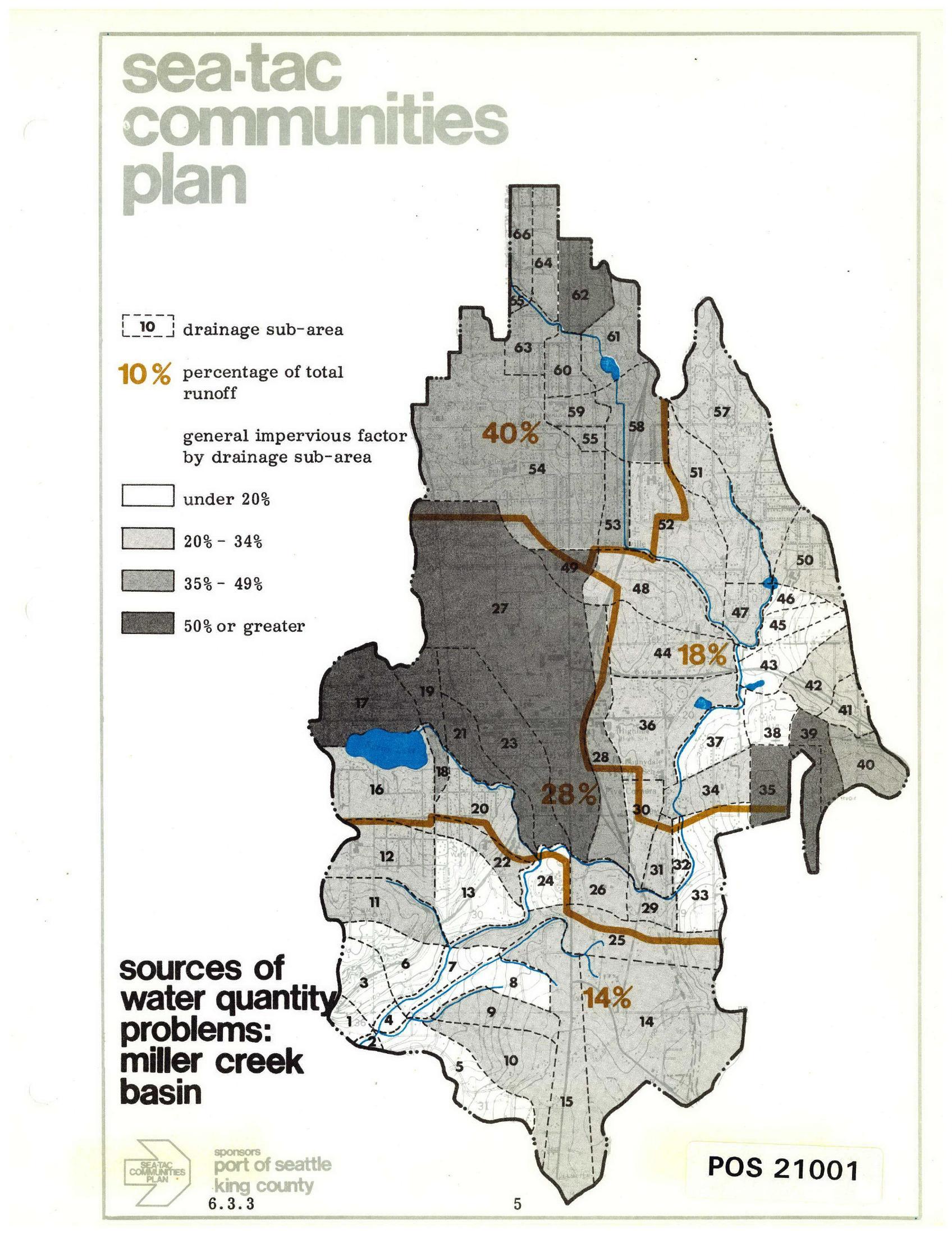
Miller Creek Basin Drainage Sub-Areas Map — Sea-Tac Communities Plan (STCP Section 6.3.3)
A drainage map from the Sea-Tac Communities Plan, sponsored by the Port of Seattle and King County (document reference 6.3.3, POS 21001), showing the Miller Creek Basin divided into numbered drainage sub-areas with general impervious surface factors (under 20% to 50% or greater) and percentage of total runoff contributions (40%, 28%, 18%, and 14%) for each major zone. -
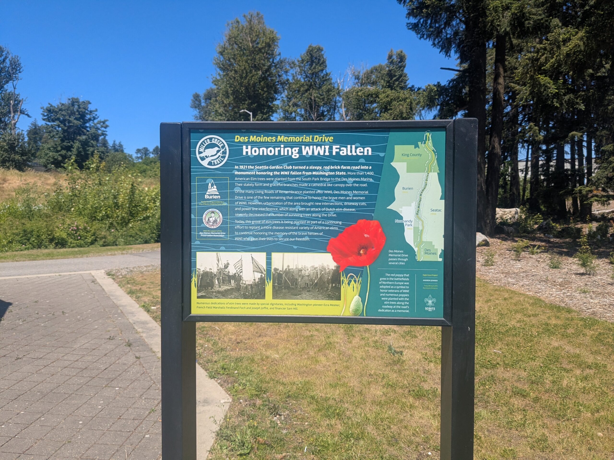
Miller Creek Trail — Des Moines Memorial Drive Elm Memorial Sign, Burien
An interpretive sign on the Miller Creek Trail explains that in 1921 the Seattle Garden Club transformed a red brick farm road into a WWI memorial by planting more than 1,400 American Elm trees from the South Park Bridge to the Des Moines Marina. The sign notes ongoing efforts to replant disease-resistant elms and includes a map showing Des Moines Memorial Drive passing through King County, Burien, Seatac, Normandy Park, and Des Moines. -
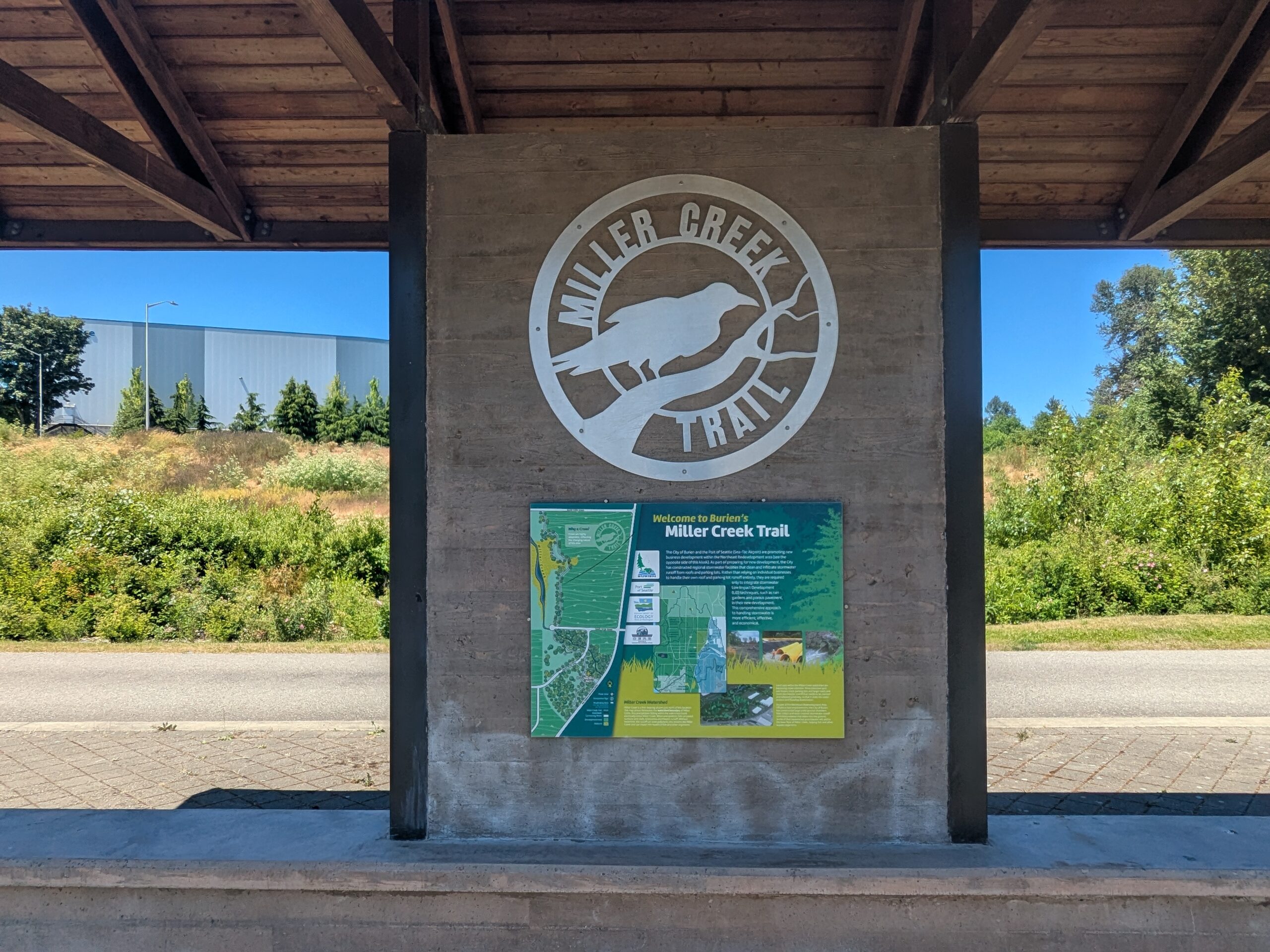
Miller Creek Trail — Entrance Kiosk and Map, Burien
A covered kiosk displays the Miller Creek Trail logo and an informational map panel reading 'Welcome to Burien's Miller Creek Trail.' The trail is located in the City of Burien, near the Sea-Tac Airport corridor in King County, Washington. -
-
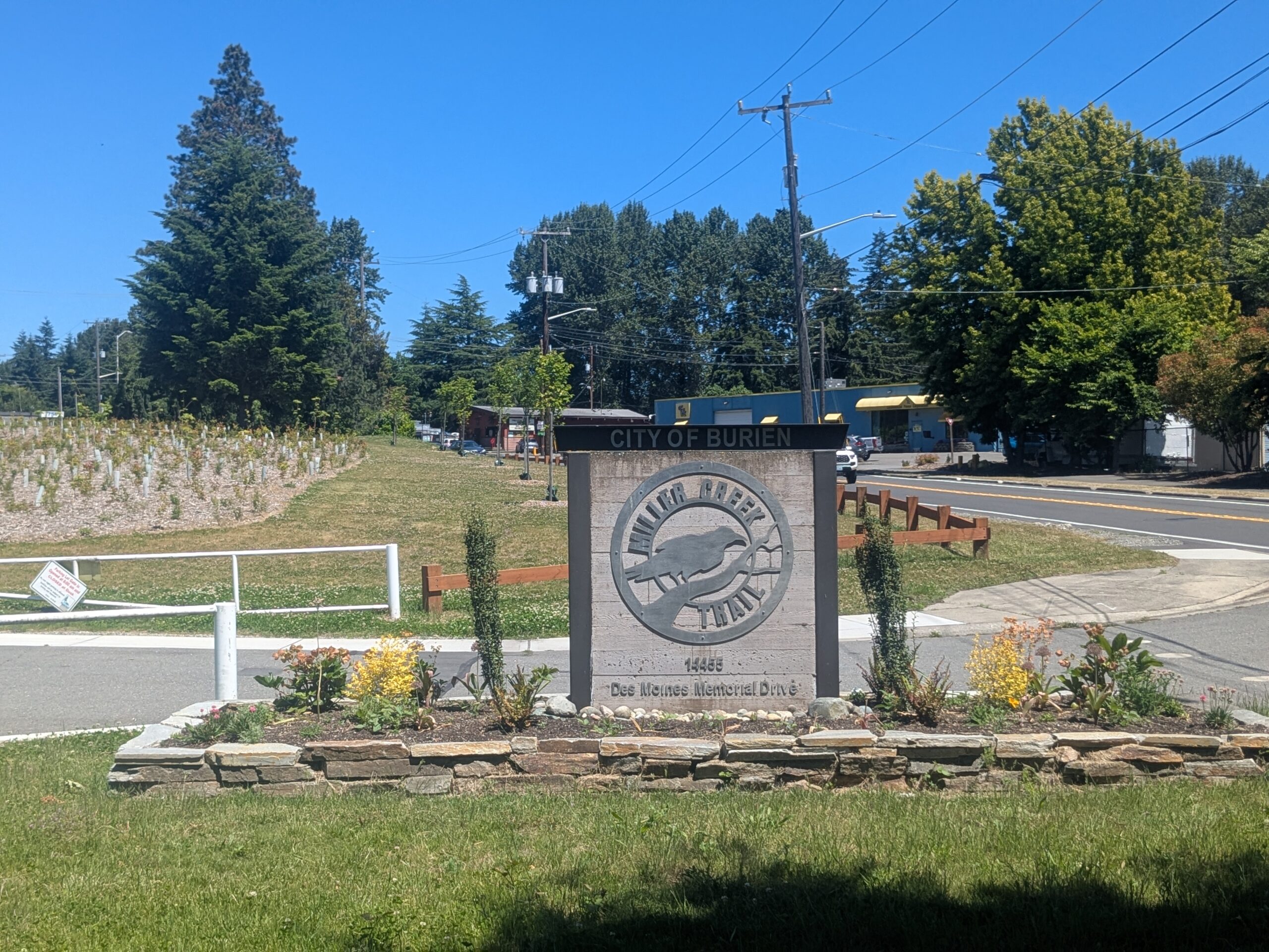
Miller Creek Trail — Entrance Monument, Burien
A stone monument sign marks the entrance to Miller Creek Trail, a City of Burien facility located at 14455 Des Moines Memorial Drive. The sign features a circular metal logo depicting a bird (likely a kingfisher) and the trail name, with landscaped plantings and a newly restored riparian area visible in the background. -
 2025-11-24
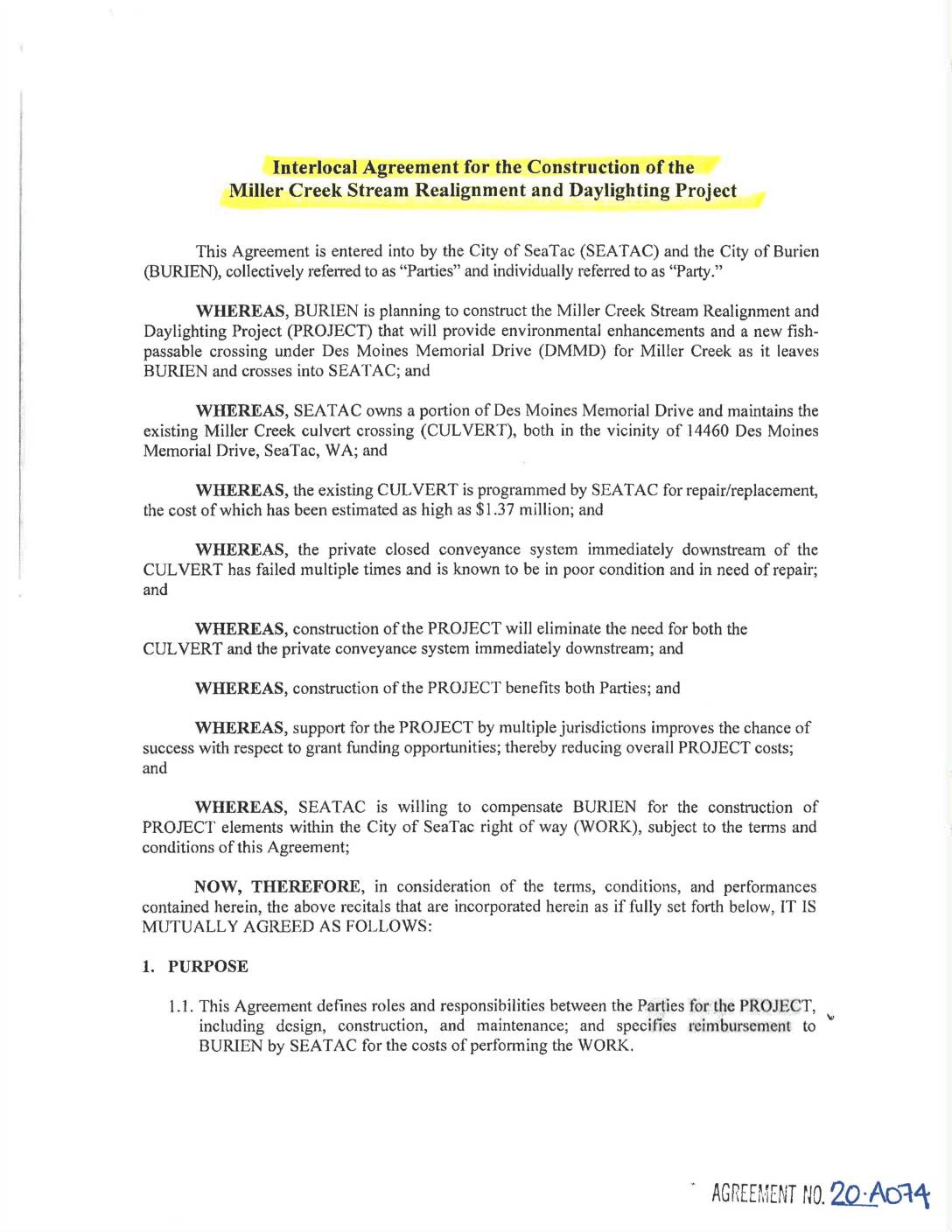
Interlocal agreement for the construction of the Miller Creek Stream Realignment and Daylighting Project
This interlocal agreement between the City of SeaTac and the City of Burien outlines roles, responsibilities, and cost-sharing for the Miller Creek Stream Realignment and Daylighting Project, which will improve fish passage and replace an aging culvert under Des Moines Memorial Drive. Burien will design and construct the project, while SeaTac agrees to reimburse Burien up to $985,000 for work performed within SeaTac's right of way. SeaTac retains inspection and approval rights over all construction elements within its jurisdiction.