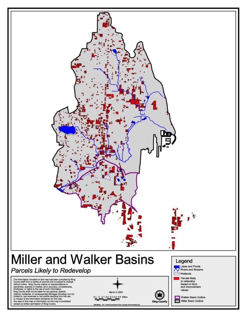
This King County map, dated March 9, 2004, identifies parcels within the Miller and Walker Basins that are likely to redevelop based on land and improvement values. It highlights features such as lakes, ponds, rivers, streams, and wetlands alongside redevelopment-candidate parcels marked in red. The map was produced by King County staff using data from multiple sources and is intended to support land use planning in these two drainage basins.Open full document
Notes
A King County map dated March 9, 2004, showing parcels likely to redevelop in the Miller and Walker Basins based on land and improvement values. The map displays lakes and ponds, rivers and streams, wetlands, and the outlines of both the Walker Basin and Miller Basin.