TagSea-Tac Communities Plan(215)
-
 1979-01-01
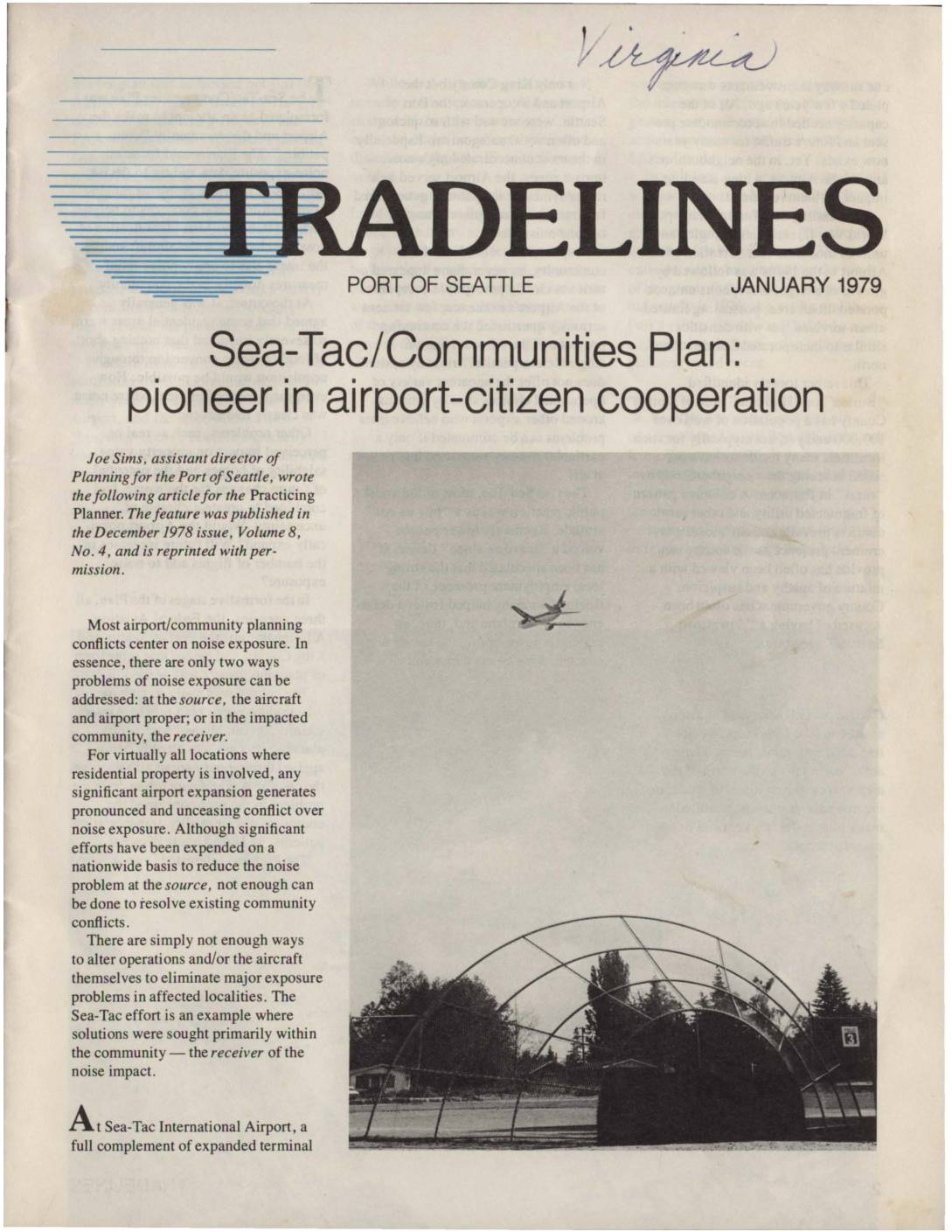
Sea-Tac/Communities Plan: Pioneer in Airport-Citizen Cooperation
This 1979 article from the Port of Seattle's Tradelines newsletter describes the Sea-Tac/Communities Plan, a pioneering cooperative effort between the Port of Seattle, King County, and the FAA to address aircraft noise impacts on neighborhoods surrounding Sea-Tac International Airport. Rather than focusing solely on reducing noise at its source, the plan targeted the affected communities directly through measures such as home acquisitions in severely impacted areas, 'purchase guarantees' for moderately impacted zones, and residential insulation cost-sharing programs. Adopted in 1976, the plan is presented as an innovative model for airport-community compatibility planning, though the article acknowledges it represents only a partial solution to the broader challenges airports and their neighboring communities face. -
 1978-09-06
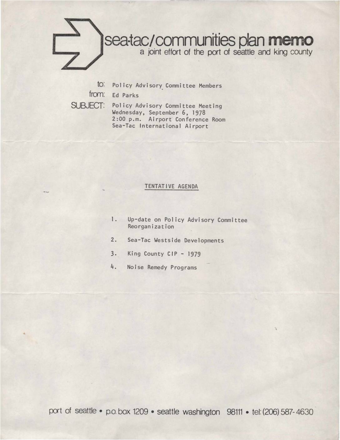
Policy Advisory Committee Meeting Agenda – Sea-Tac/Communities Plan
A 1978 internal memo from Ed Parks to Policy Advisory Committee Members announces a meeting scheduled for Wednesday, September 6, 1978, at 2:00 p.m. in the Airport Conference Room at Sea-Tac International Airport. The meeting, organized as a joint effort of the Port of Seattle and King County, covers four agenda items: an update on Policy Advisory Committee Reorganization, Sea-Tac Westside Developments, the King County Capital Improvement Program for 1979, and Noise Remedy Programs. -
 1978-09-01
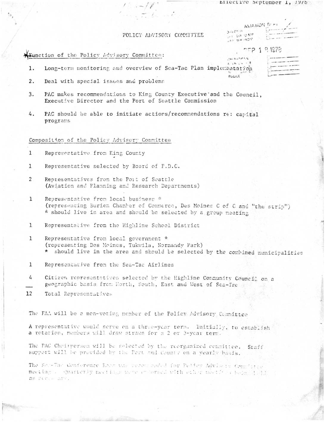
Policy Advisory Committee for Sea-Tac Plan Implementation
★This 1978 document outlines the structure and functions of a Policy Advisory Committee (PAC) formed to oversee implementation of the Sea-Tac Airport Communities Plan, including long-term monitoring of airport noise issues and making recommendations to King County and Port of Seattle officials. The 12-member committee draws representatives from King County, local governments, businesses, schools, airlines, and community citizens. It also details noise exemption rules for daytime aircraft testing and maintenance at Seattle-Tacoma International Airport, specifying conditions such as permitted hours (7 a.m. to 10 p.m.) and geographic boundaries defined by the 'NEF 45' noise exposure contour line. -
 1978-09-01
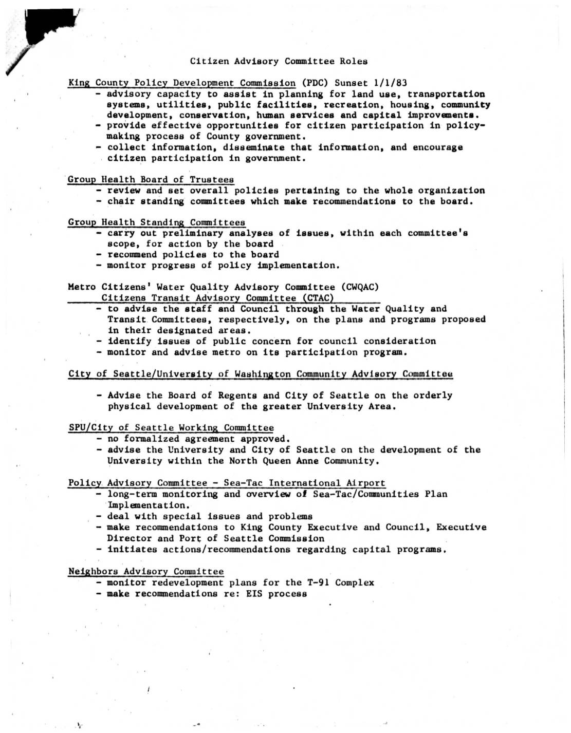
Citizen Advisory Committee Roles: Comparative Overview of King County, Group Health, Metro, Seattle, and Sea-Tac Advisory Bodies
This document outlines the structure and responsibilities of the Policy Advisory Committee (PAC) established in 1978 to oversee implementation of the Sea-Tac Airport Communities Plan. The 12-member committee—drawn from King County, the Port of Seattle, local businesses, government, schools, airlines, and community representatives—was charged with long-term monitoring, addressing special issues, and making recommendations to the King County Executive, Council, and Port of Seattle Commission. The PAC met quarterly at the Sea-Tac Conference Room, with members serving three-year terms and staff support provided jointly by the Port and County. -
 1978-07-27
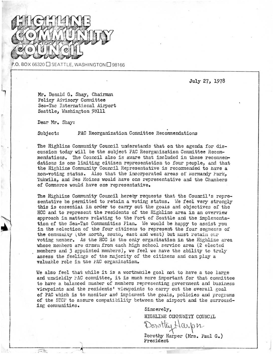
Letter from Highline Community Council to PAC Chairman Don Shay on PAC Reorganization Committee Recommendations
In a July 27, 1978 letter to the Policy Advisory Committee (PAC) chairman at Sea-Tac International Airport, the Highline Community Council president Dorothy Harper objected to a proposed reorganization that would reduce the Council's representative to a non-voting status. The Council argued that retaining a voting seat was essential to effectively represent Highline-area residents in matters related to the Port of Seattle and the Sea-Tac Communities Plan. The letter also emphasized the importance of maintaining a balanced membership on the PAC that equally reflects government, business, and residents' viewpoints. -
 1978-07-27
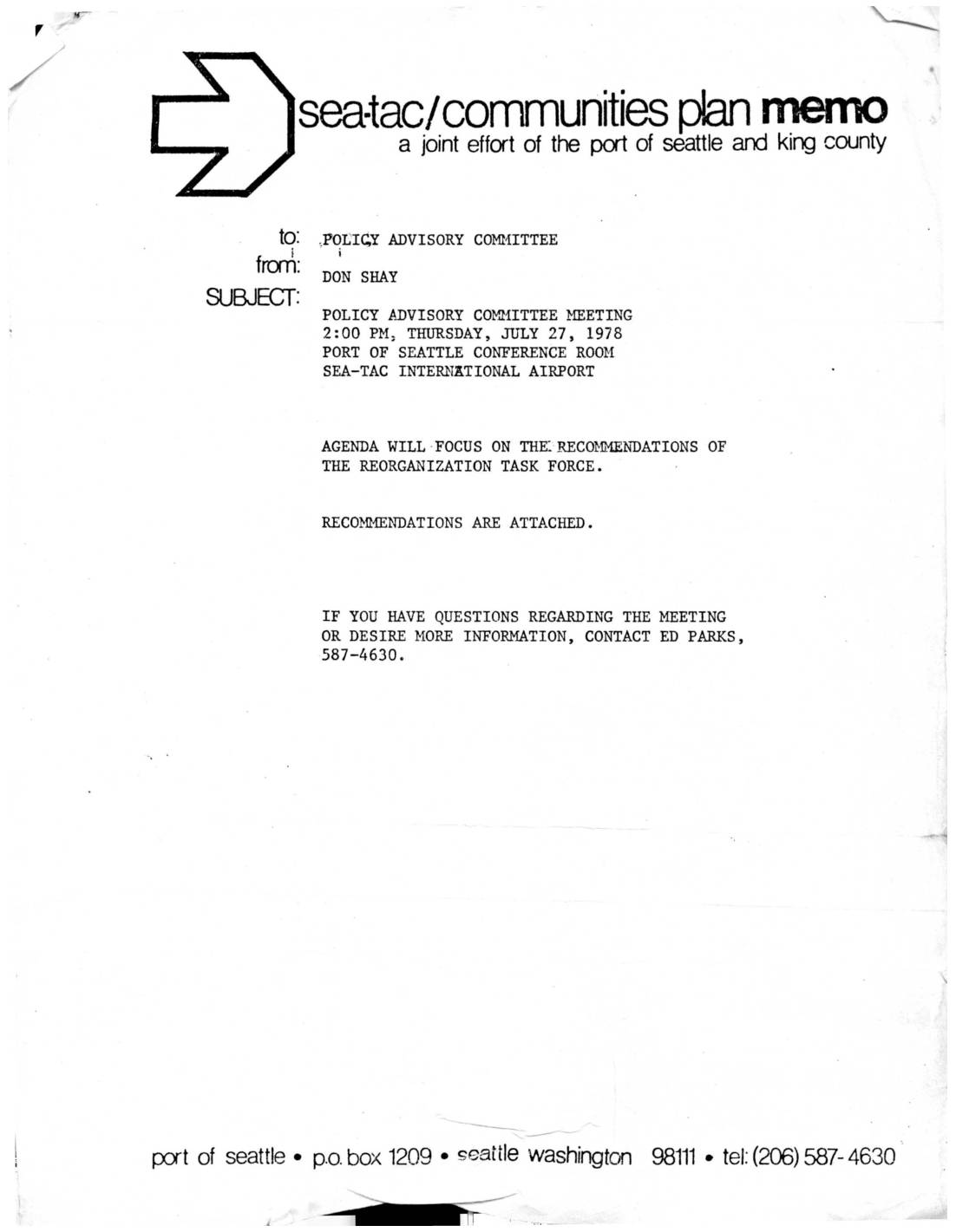
Policy Advisory Committee Reorganization Task Force Recommendations and Meeting Notice, July 27, 1978
A 1978 memo from Don Shay notifies the Policy Advisory Committee of a meeting on July 27, 1978, at Sea-Tac International Airport to review recommendations from the Reorganization Task Force. The Task Force proposed restructuring the committee to focus on long-term monitoring of Sea-Tac Plan implementation, handling special issues, and making recommendations to King County and Port of Seattle leadership. The recommended committee composition included representatives from King County, the Port of Seattle, local businesses, the Highline School District, local governments, Sea-Tac Airlines, and four citizen representatives selected by the Highline Community Council. -
 1978-03-09
Final Environmental Impact Statement for the Proposed Boeing Company Corporate Headquarters Facility
This March 1978 Final Environmental Impact Statement, prepared jointly by King County and the Port of Seattle, evaluates the proposed construction of a Boeing Company Corporate Headquarters Facility on the western boundary of Sea-Tac International Airport. The project required zoning reclassification, community plan amendments, and various permits for a site located east of 12th Avenue South between South 166th Place and South 173rd Street. The document was prepared under the Washington State Environmental Policy Act (SEPA) and related county regulations. -
 1978-01-01
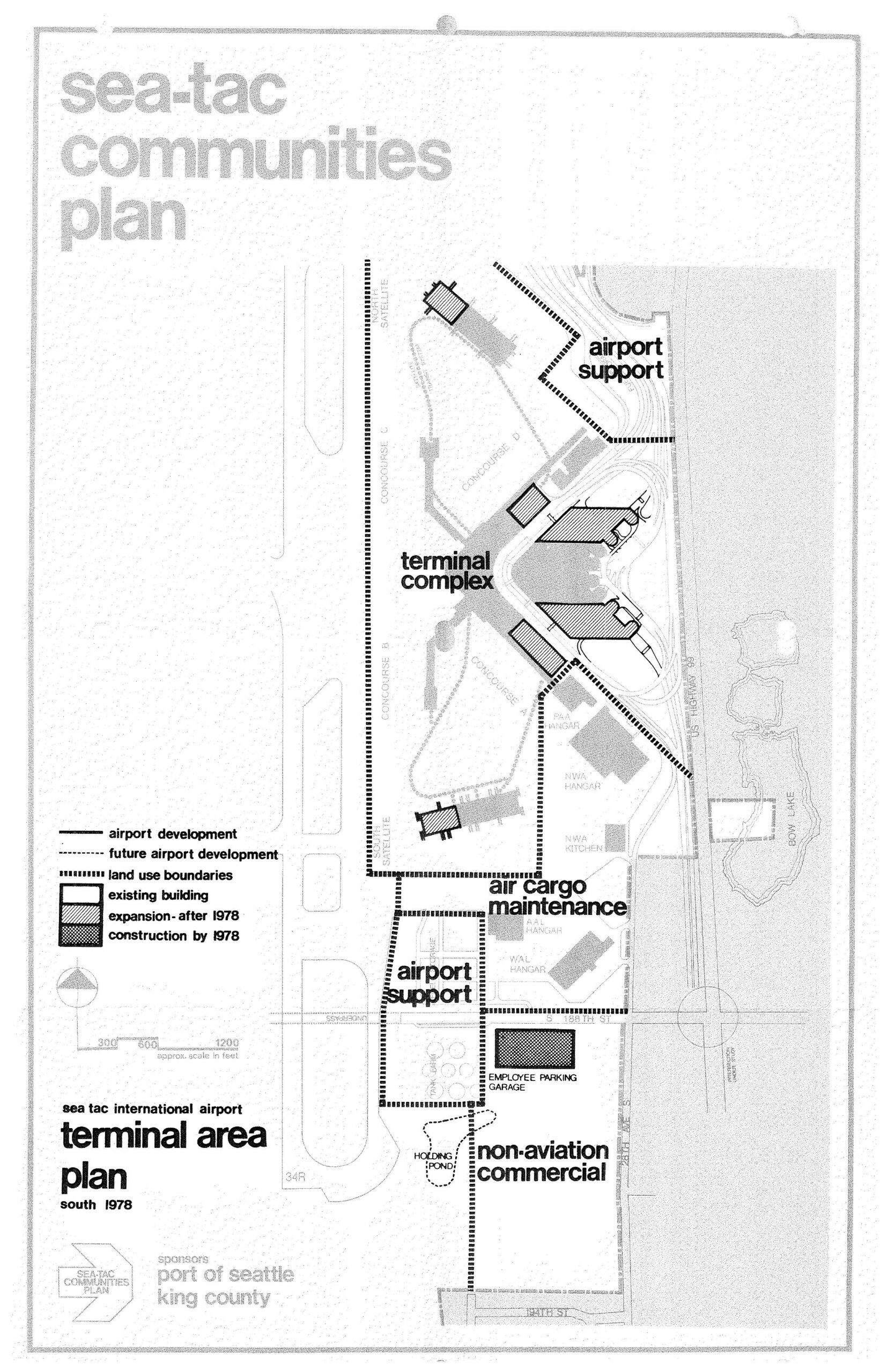
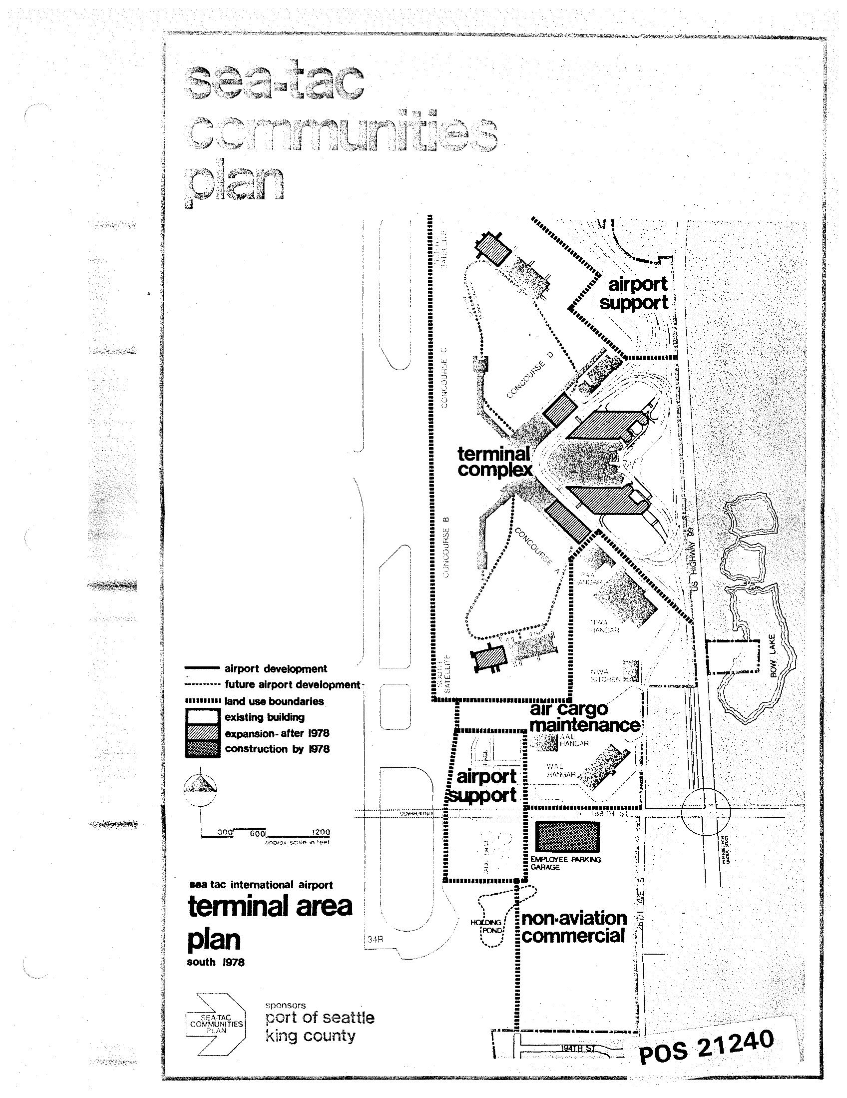
Sea-Tac International Airport Terminal Area Plan South — STCP, 1978
A planning map from the Sea-Tac Communities Plan, sponsored by the Port of Seattle and King County, depicting the Sea-Tac International Airport terminal area as of 1978. The map identifies land use zones including the terminal complex, airport support areas, air cargo maintenance, non-aviation commercial, and an employee parking garage, with a legend distinguishing existing buildings, post-1978 expansions, and construction completed by 1978. -
 1978-01-01
Sea-Tac International Airport Terminal Area Plan — Land-Use Map from the Sea-Tac Communities Plan (1978)
A land-use map from the Sea-Tac Communities Plan showing the Sea-Tac International Airport terminal area as of south 1978, sponsored by the Port of Seattle and King County. The map identifies zones including the terminal complex, airport support, air cargo maintenance, and non-aviation commercial areas, with a legend distinguishing existing buildings, expansions after 1978, and construction by 1978. Document reference number POS 21240. -
 1978-01-01
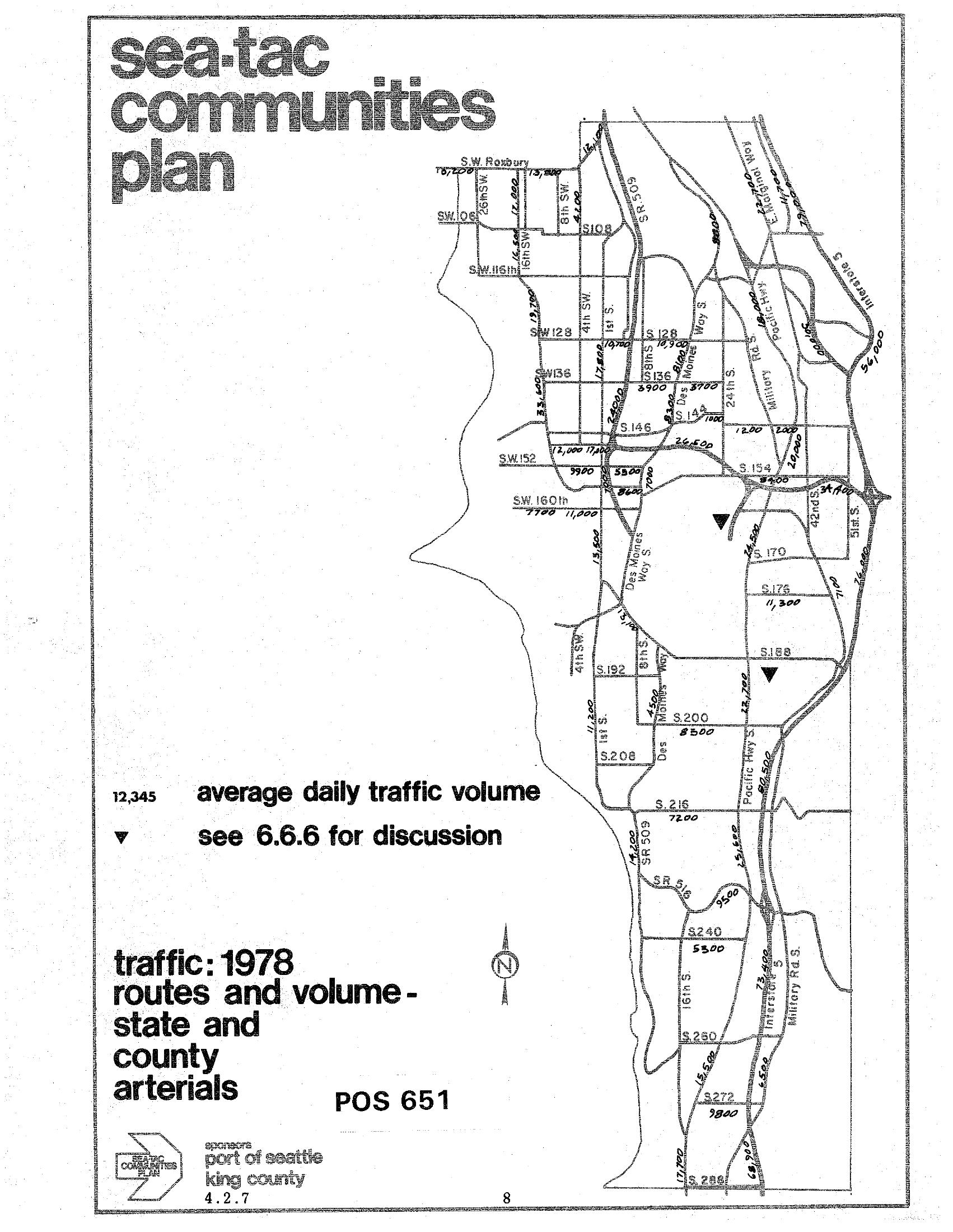
STCP 1978 Traffic Routes and Volumes: State and County Arterials
A traffic map from the Sea-Tac Communities Plan (document reference POS 651, section 4.2.7) showing 1978 average daily traffic volumes on state and county arterials in the Sea-Tac area. The map was sponsored by the Port of Seattle and King County, and displays traffic counts on major roads including SR 509, Pacific Highway S, Military Road, and various numbered streets (SW 128th through S 272nd).