TagSea-Tac Communities Plan(215)
-
 1983-03-01
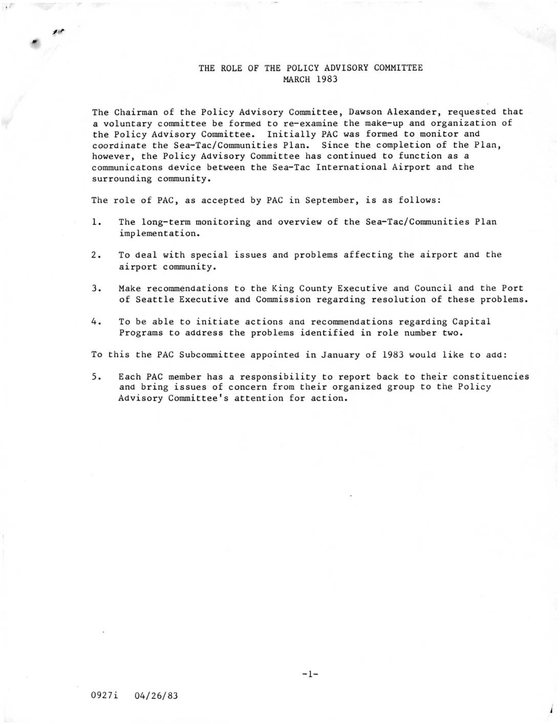
The Role of the Policy Advisory Committee, March 1983
This March 1983 document outlines the proposed role and restructured composition of the Policy Advisory Committee (PAC), a body formed to serve as a communication link between Sea-Tac International Airport and its surrounding communities. It defines five key responsibilities for PAC, including monitoring the Sea-Tac/Communities Plan, addressing airport-related issues, and making recommendations to King County and Port of Seattle officials. The document also proposes reforms to membership selection, including three-year terms, formal application procedures, public notification requirements, and geographically based citizen representation. -
 1983-02-04
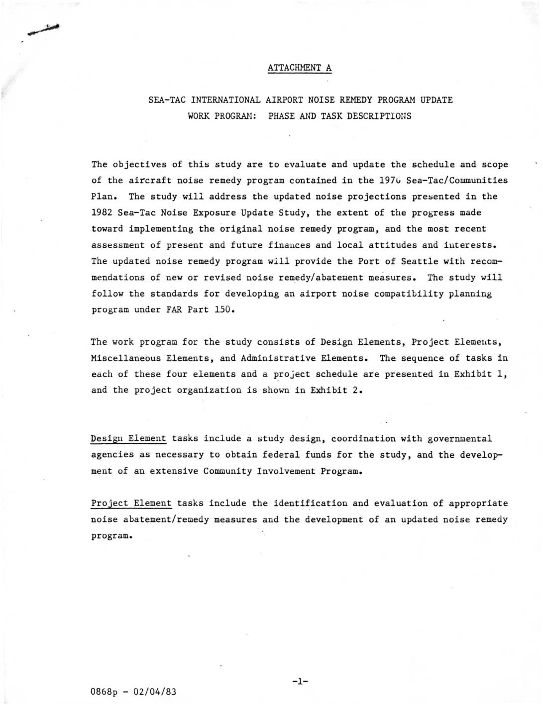
Airport Noise Remedy Update Work Program: Phase and Task Descriptions
This 1983 work program outlines a study to evaluate and update Sea-Tac International Airport's aircraft noise remedy program, originally established in the 1970 Sea-Tac/Communities Plan. The study, conducted by the Port of Seattle alongside Peat Marwick Mitchell & Co. and McClure Research Company, addresses updated noise projections, progress on existing remedies, and current financial conditions. Key tasks include study design, federal funding coordination, and a Community Involvement Program to keep the public informed and engaged in noise abatement planning. -
 1983-01-26
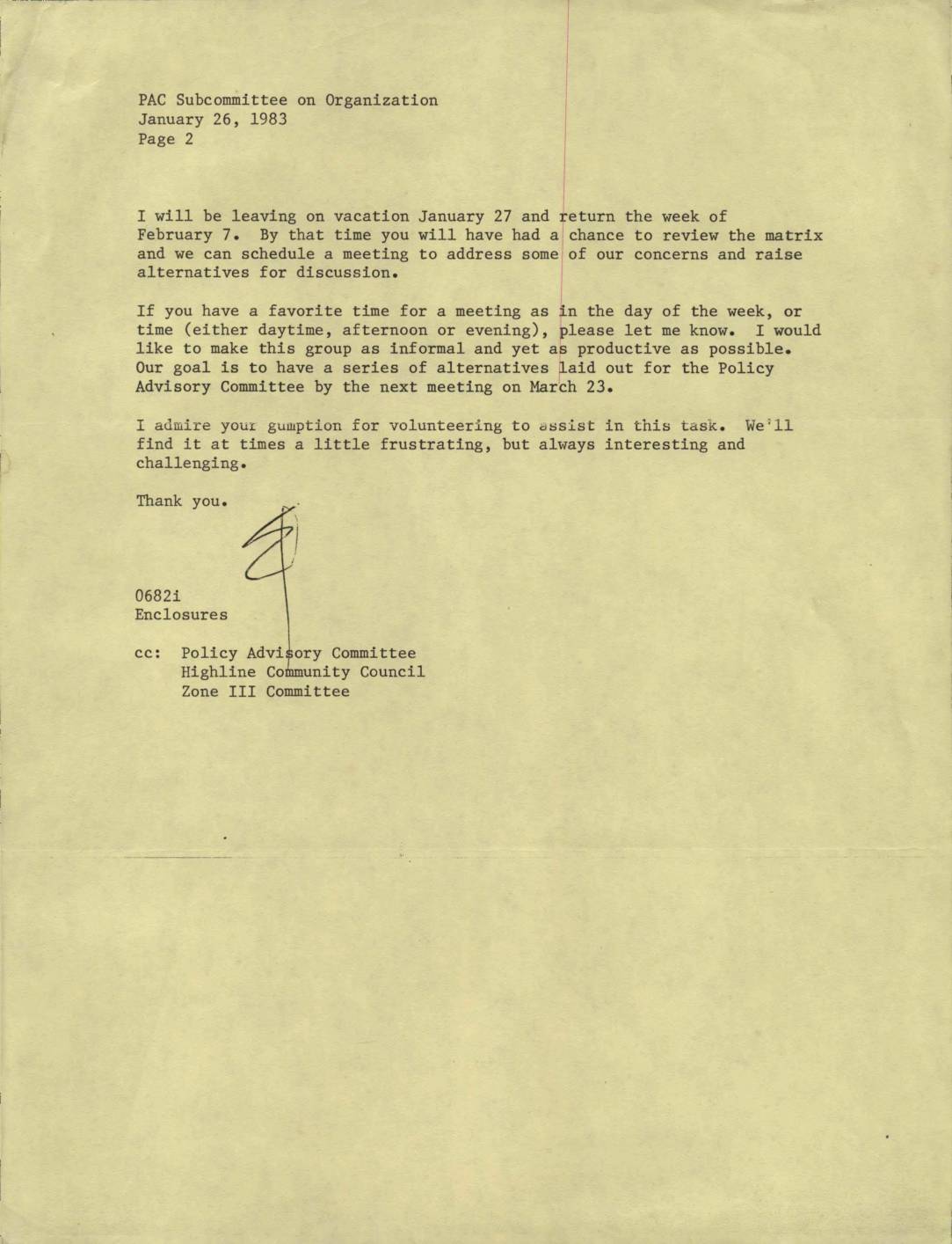
PAC Subcommittee on Organization letter, January 26, 1983
This document collection includes correspondence from 1981–1983 related to noise policy around Seattle-Tacoma (Sea-Tac) Airport. A February 1981 letter from PAC Chairman Oris Dunham to King County's Director of Planning urges the county to adopt and enforce building code sound insulation requirements — as called for in the Sea-Tac/Communities Plan adopted in 1976 — to protect nearby residents from aircraft noise. A January 1983 letter to the PAC Subcommittee on Organization outlines plans to develop a series of organizational alternatives for review at the March 23 Policy Advisory Committee meeting. -
 1983-01-26
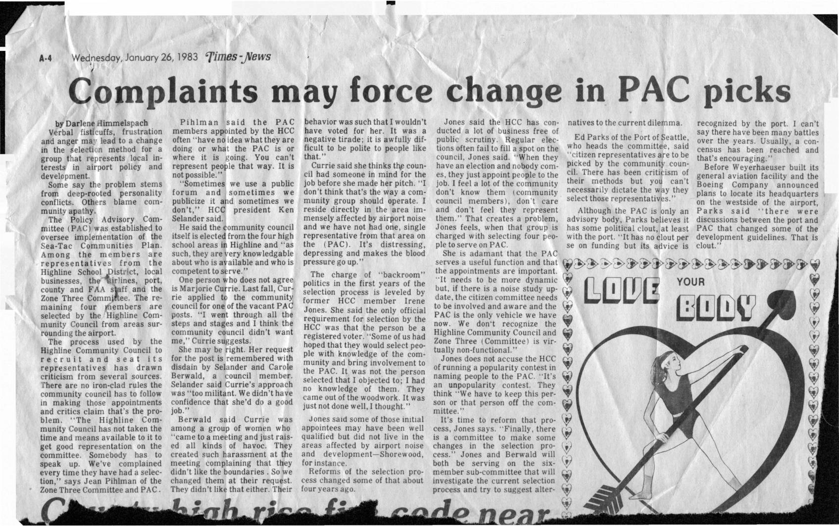
Complaints may force change in PAC picks
A 1983 Times-News article reports that complaints about the Highline Community Council's informal and inconsistent process for appointing citizen representatives to the Policy Advisory Committee (PAC) — the body overseeing Sea-Tac airport development and noise policy — may force a reform of the selection method. Critics argued that appointees often lacked knowledge of the PAC's purpose and that residents most affected by airport noise were being excluded. A six-member sub-committee was formed to investigate the current process and recommend alternatives. -
 1983-01-01
Sea-Tac Communities Plan: 1983 Average Daily Traffic Volumes on State and County Arterials
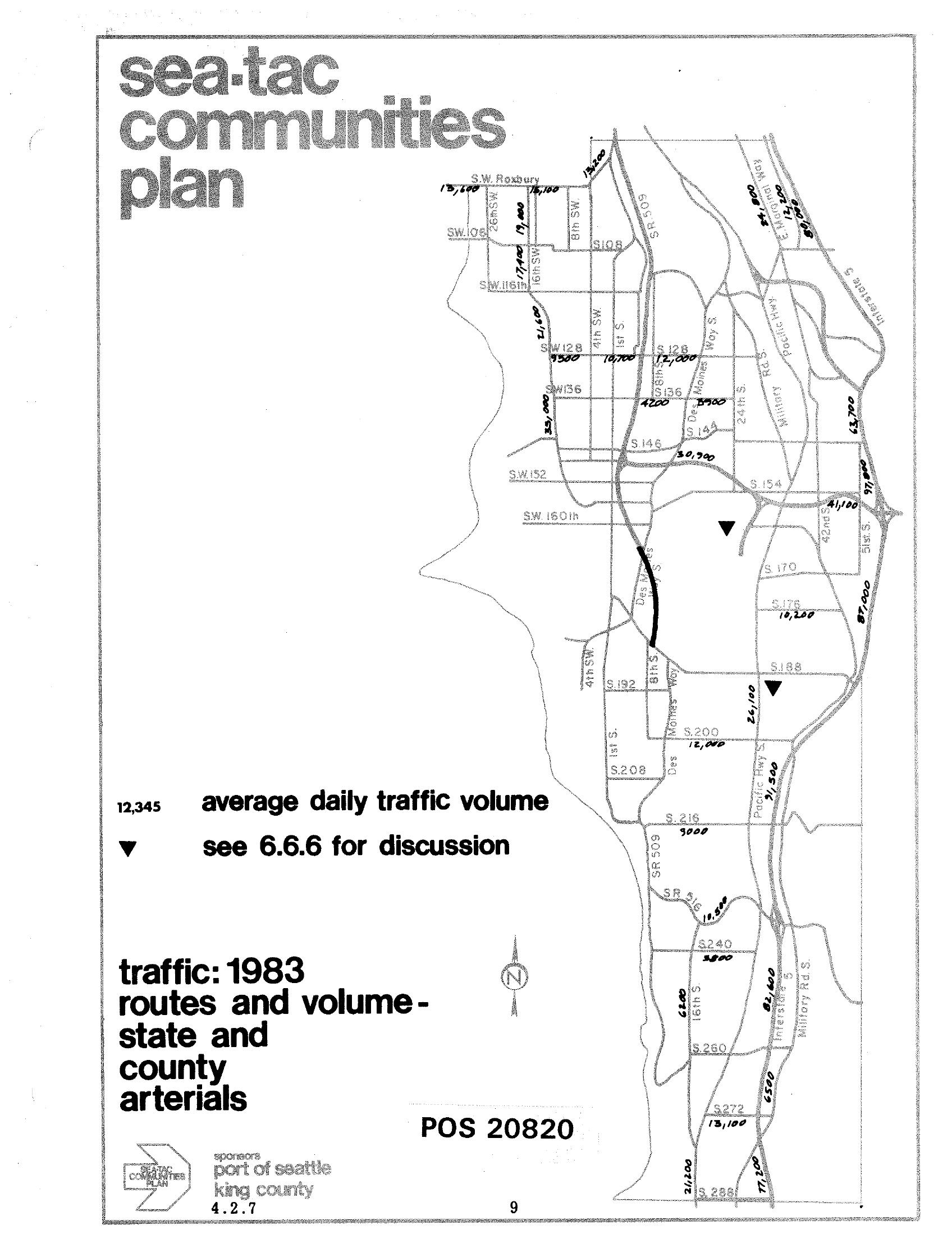
A map from the Sea-Tac Communities Plan (document reference POS 20820, page 9, section 4.2.7) showing 1983 average daily traffic volumes on state and county arterials in the Sea-Tac area. The plan was sponsored by the Port of Seattle and King County, and includes a legend noting that downward-pointing triangle symbols refer to section 6.6.6 for discussion. -
 1982-12-29
Citizen Involvement Examples in King County, METRO and Port of Seattle
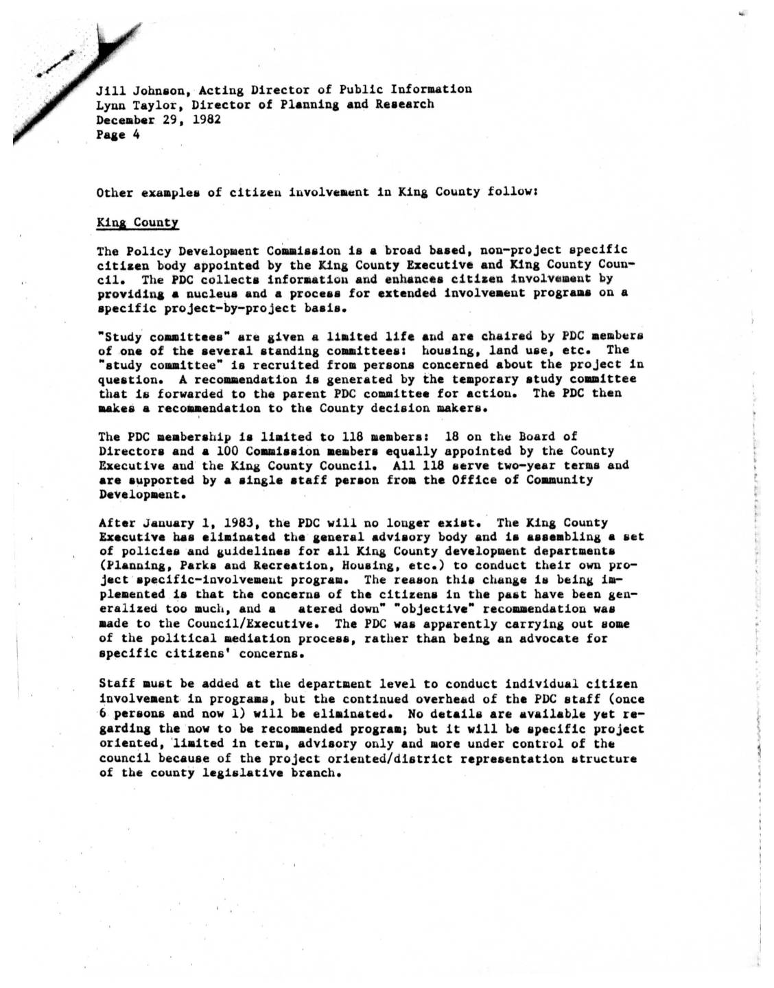
A memorandum detailing examples of citizen involvement programs in King County, including the Policy Development Commission, METRO’s advisory committees, and the Port of Seattle’s Policy Advisory Committee. The document discusses structures, functions, and changes to these citizen participation programs. -
 1982-04-23
Memorandum to Policy Advisory Committee: Scope of Work for the Sea-Tac Noise Remedy Program Update
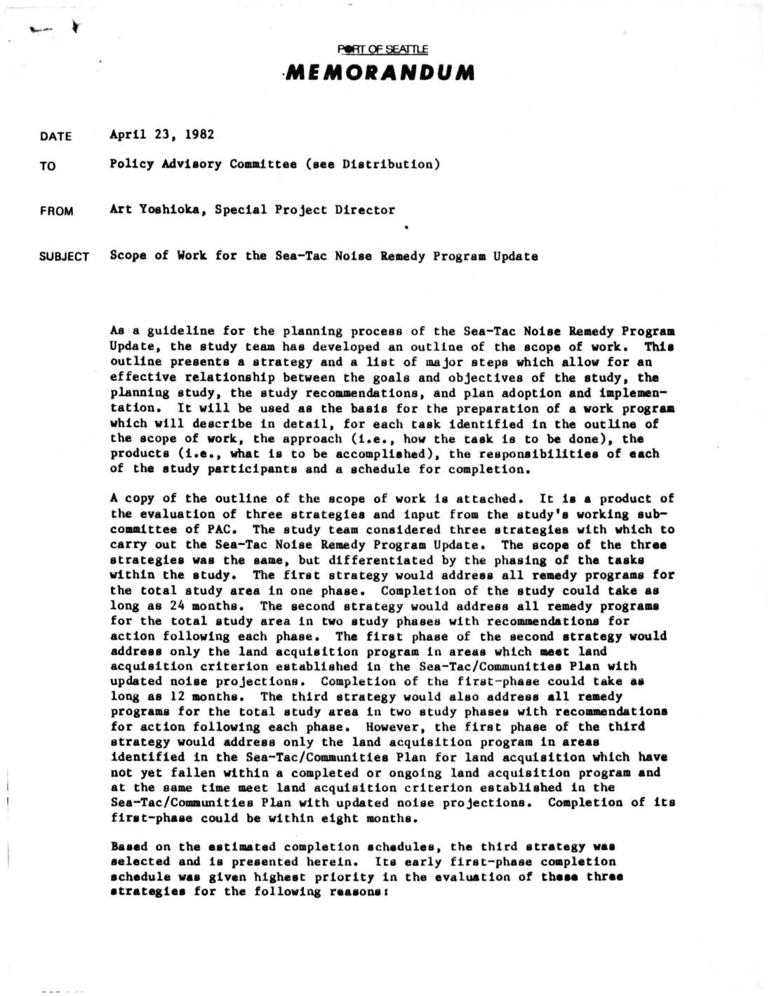
A 1982 Port of Seattle memorandum from Special Project Director Art Yoshioka outlines the scope of work for the Sea-Tac Noise Remedy Program Update, which aimed to address aircraft noise impacts on surrounding communities. Three planning strategies were evaluated, and the third was selected for its ability to complete an initial land acquisition phase within eight months—faster than the 12- or 24-month timelines of the alternatives. The chosen approach prioritized quickly acquiring properties in noise-impacted areas not yet covered by existing programs, fulfilling prior commitments to affected communities near Sea-Tac Airport. -
 1982-03-26
Letter from Senator Phil Talmadge regarding FAA density guidelines and Sea-Tac Communities Plan
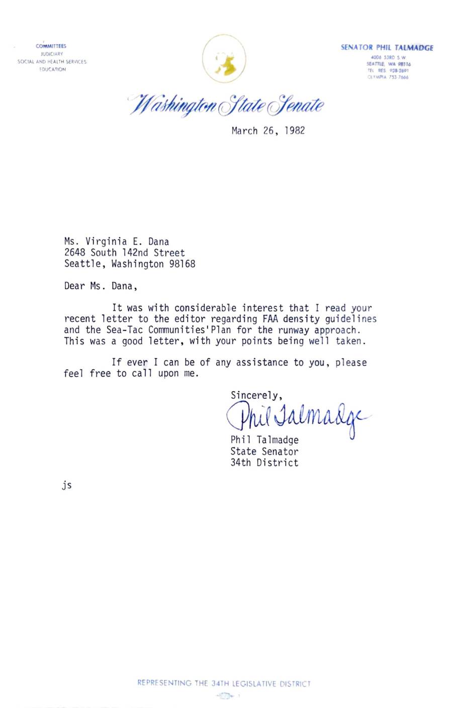
In a 1982 letter to the editor titled 'Clear Zone Rules Have a Purpose,' Seattle resident Virginia E. Dana defended FAA density guidelines restricting how many people could gather on land north of Sea-Tac Airport, arguing the area was acquired to serve as a safety zone for aircraft, not a public park without limitations. She noted that the Port of Seattle purchased the land partly with federal funds to address severe noise impacts on residents, and that the FAA's people-per-acre restrictions had already been approved by community organizations, Port commissioners, and King County Council. State Senator Phil Talmadge responded with a letter commending Dana's well-reasoned position on the FAA guidelines and the Sea-Tac Communities Plan for the runway approach area. -
 1982-03-23
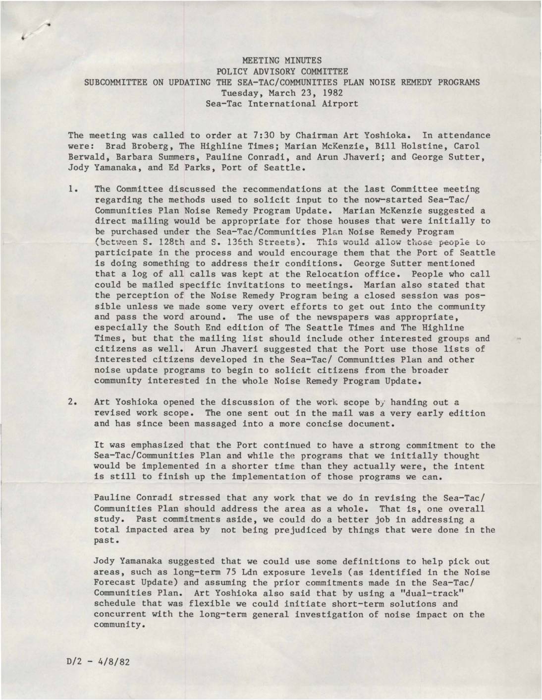
Meeting minutes: Policy Advisory Committee subcommittee on updating the Sea-Tac/Communities Plan noise remedy programs
These are the meeting minutes from a March 23, 1982 Policy Advisory Committee session at Sea-Tac International Airport, focused on updating the Sea-Tac/Communities Plan Noise Remedy Program. The committee discussed how to engage affected residents between South 128th and South 135th Streets through direct mailings and community outreach, debated whether to address noise impact areas individually or as a whole, and reviewed the status of ongoing housing acquisitions, with the Port having already spent $28–$29 million on housing acquisition and relocation. Key concerns included funding limitations, construction in potential acquisition zones, hardship cases for vulnerable residents, and the timeline for completing the program. -
 1982-01-29
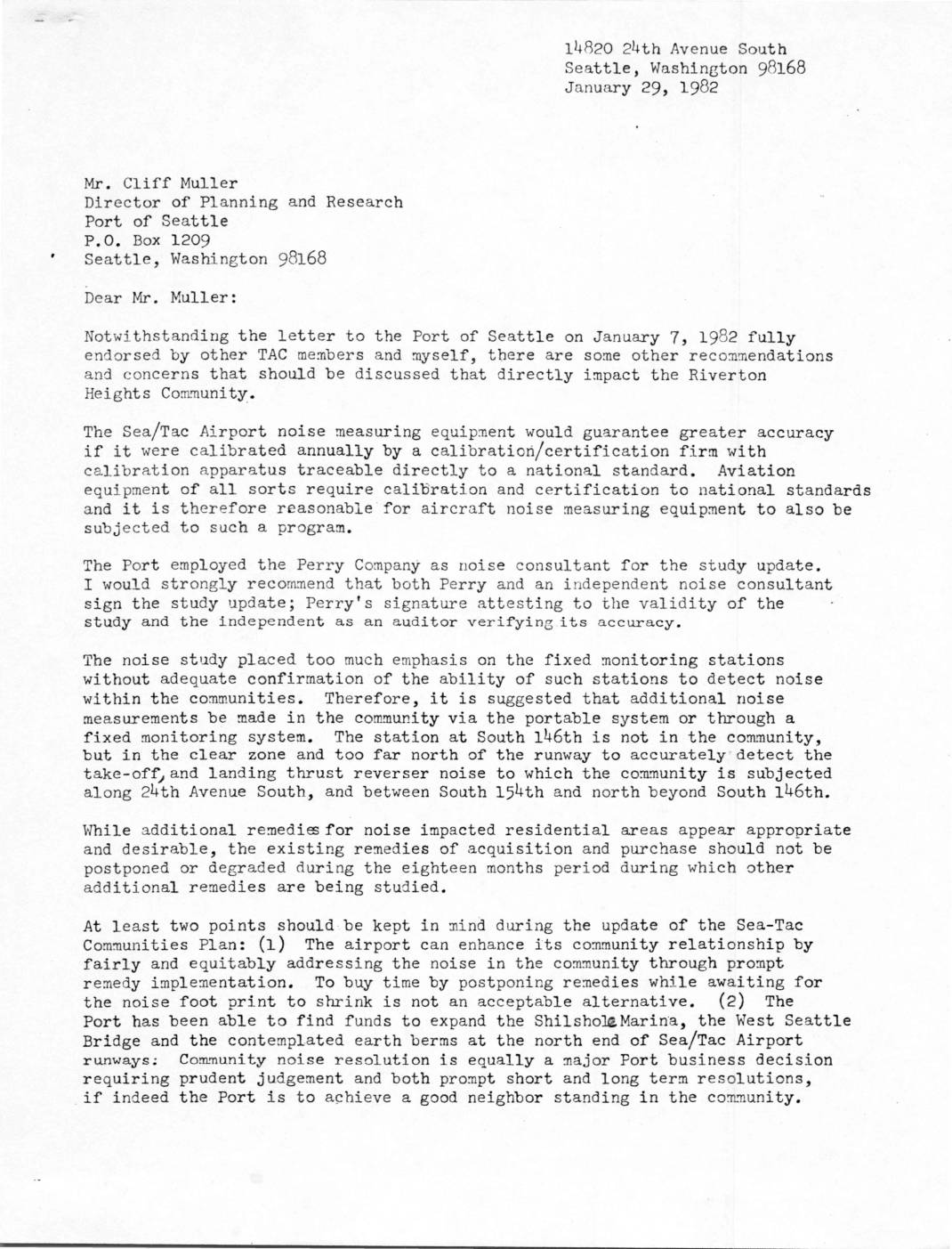
Letter from William C. Holstine to Cliff Muller Regarding Sea-Tac Airport Noise Monitoring and Remedy Program
In a January 29, 1982 letter to the Port of Seattle's Director of Planning and Research, Riverton Heights community representative William C. Holstine outlined several concerns about Sea-Tac Airport noise management, including calls for annual calibration of noise-measuring equipment, independent auditing of the Perry Company's noise study, and additional community-level noise measurements beyond the existing fixed monitoring stations. Holstine argued that existing remedies such as property acquisition and purchase guarantees should not be delayed while new solutions were being studied, and stressed that a five-to-ten-year timeline for resolving aircraft noise impacts—after already waiting ten years—was unacceptable to his community. He urged the Port to expedite and expand its noise remedy programs, drawing a comparison to the Port's willingness to fund other major projects like the Shilshole Marina expansion and the West Seattle Bridge.