TagSea-Tac Airport(1835)
-
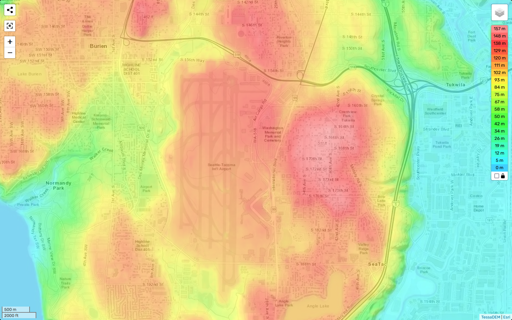
TessaDEM Elevation Heatmap of Sea-Tac Airport and Surrounding Communities
A TessaDEM/Esri elevation heatmap centered on Seattle-Tacoma International Airport and surrounding communities including Burien, Tukwila, SeaTac, and Normandy Park. The color scale ranges from 0 m (cyan/blue) to 157 m (deep red), with the highest elevations visible in the airport's central plateau and adjacent residential areas to the east near S. 164th–S. 182nd Streets. -
 2023-01-01
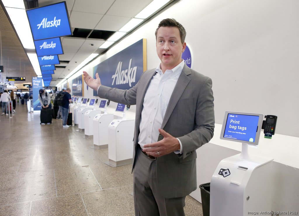
Alaska Airlines VP Shane Joines at Sea-Tac Airport Bag-Tag Kiosks
A man in a gray suit gestures toward a row of Alaska Airlines self-service bag-tag kiosks at what appears to be Seattle-Tacoma International Airport. The image is credited to photographer Anthony Bolante for PSBJ (Puget Sound Business Journal), visible in the watermark. -
 2023-01-01
2023 budget in brief
The Port of Seattle's 2023 Budget in Brief outlines a $5.3 billion five-year capital plan covering aviation, maritime, and economic development, with the airport receiving $4.6 billion for safety, accessibility, and sustainability improvements at Seattle-Tacoma International Airport. The budget prioritizes workforce investment, community equity programs totaling $19.1 million, and environmental initiatives including decarbonization efforts aimed at eliminating carbon emissions from Port-owned sources by 2040. While the document focuses broadly on Port operations and finance, it does not specifically address SEA noise policy or noise mitigation programs. -
 2023-01-01
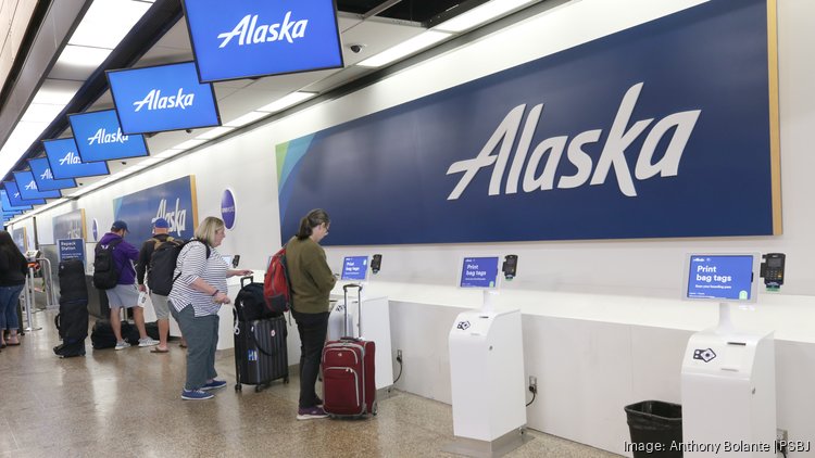
Alaska Airlines Check-In Kiosks at Sea-Tac Airport, Summer 2023
Passengers queue at self-service check-in kiosks in the Alaska Airlines terminal at Sea-Tac Airport. The image is credited to photographer Anthony Bolante for the Puget Sound Business Journal (PSBJ), as shown in the watermark. -
 2022-12-18
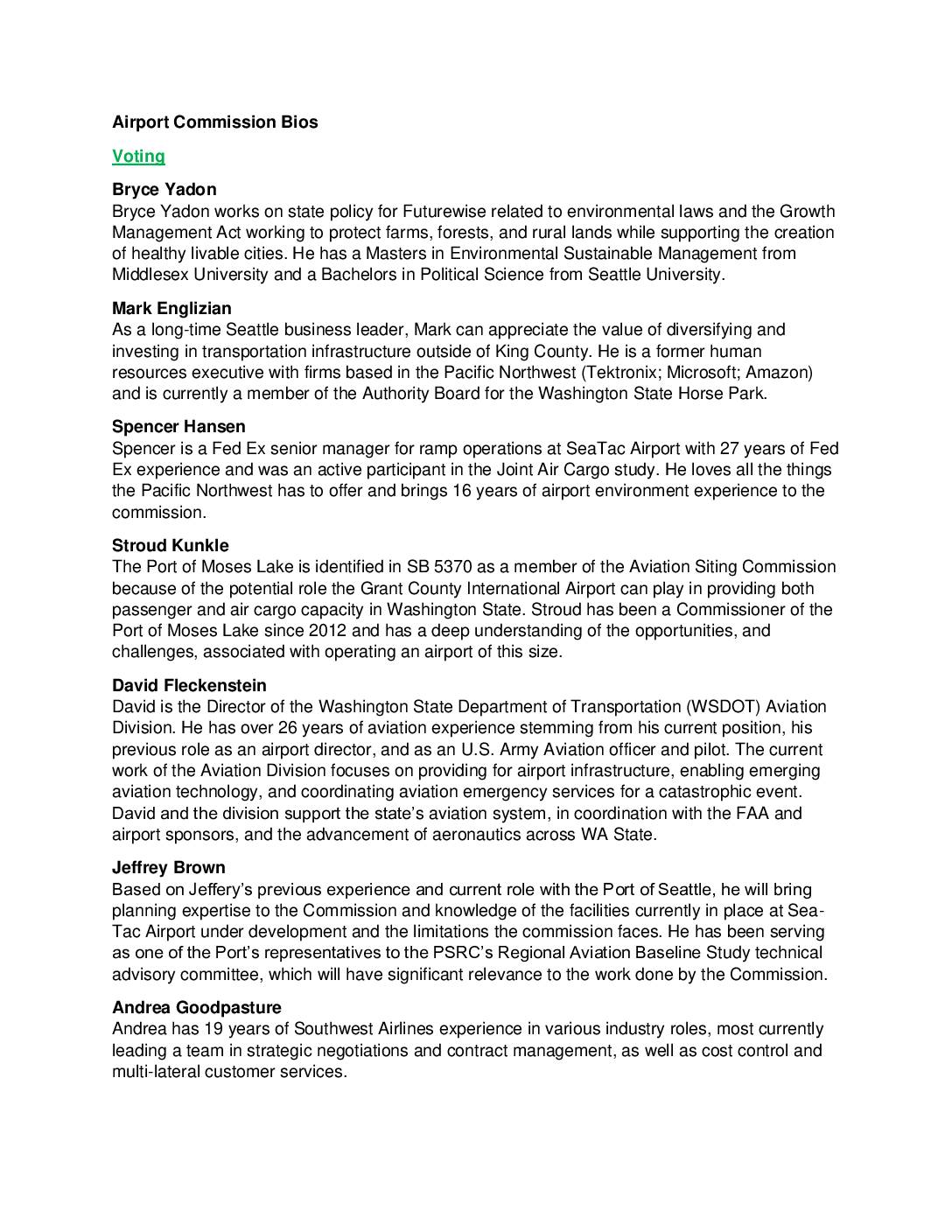
Airport Commission Bios: Commercial Aviation Coordinating Commission Members
This document provides biographical summaries of the voting and non-voting members of Washington State's Airport Commission, a body tasked with evaluating commercial aviation capacity and siting in the region. Members include representatives from airlines, cargo carriers, port authorities, state transportation agencies, and community advocacy groups, bringing expertise in airport operations, planning, environmental policy, and economic development. Their work is directly relevant to decisions about Sea-Tac Airport's future capacity, limitations, and its role within the broader Washington State aviation system. -
 2022-12-15
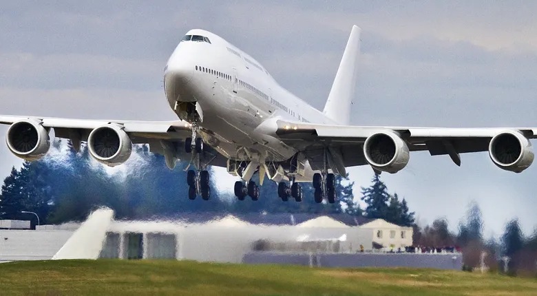
Queen of the Skies 747
A white, unpainted or bare-livery four-engine wide-body aircraft, consistent with a Boeing 747, is captured at rotation during takeoff. The landing gear is still deployed and exhaust/vapor is visible beneath the aircraft; no airline markings or registration numbers are visible. -
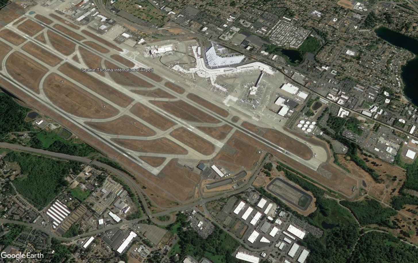
Sea-Tac Airport Satellite Overview — Three Parallel Runways and Terminal Complex
Google Earth satellite image of Seattle-Tacoma International Airport (Sea-Tac), showing the airport's three parallel runway system, terminal complex, concourses, and surrounding communities in SeaTac, Washington. The airport name label and Google Earth watermark are both visible in the image. -
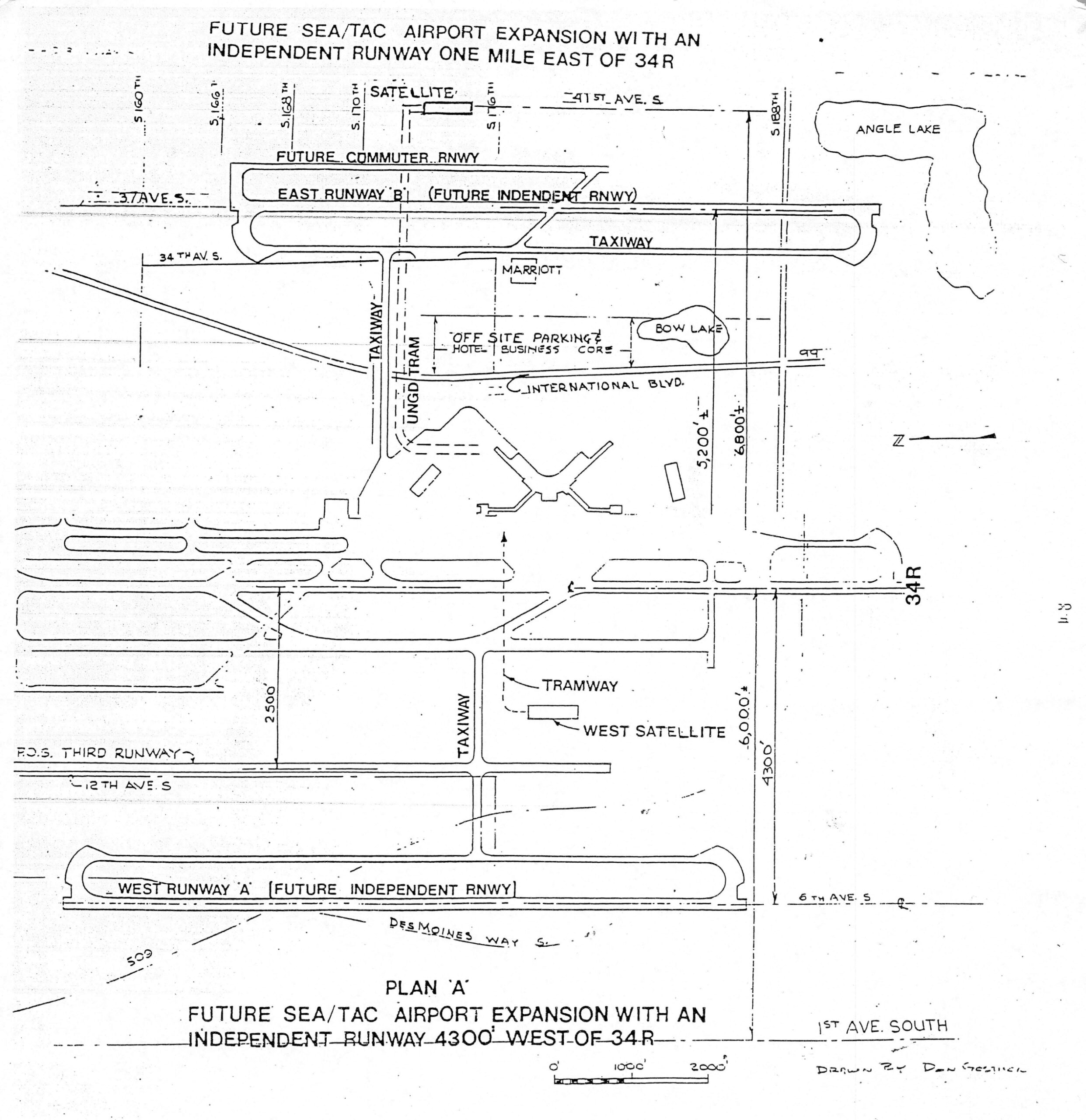
Future Sea-Tac Airport Expansion — Independent Runway Plans East (Runway B, 1 Mile) and West (Runway A, 4,300 ft) of 34R
Architectural/planning drawing titled 'Future Sea/Tac Airport Expansion with an Independent Runway One Mile East of 34R,' showing Plan A layout with an independent runway 4,300 feet west of runway 34R. The drawing, credited to Don Getsick, depicts proposed runways (East Runway B, West Runway A), taxiways, satellite terminals, tramway, underground tram, off-site parking/hotel/business core, and surrounding streets including International Blvd, Des Moines Way S, and 1st Ave South, with Angle Lake and Bow Lake visible. -
 2022-12-01
Seattle-Tacoma International Airport Stormwater Pollution Prevention Plan (SWPPP) December, 2022
Stormwater Pollution Prevention Plan (SWPPP) for Seattle-Tacoma International Airport (Sea-Tac Airport), published by Port Of Seattle in December 2022, in accordance with NPDES Permit No. WA-0024651. Covers facility assessment, IWS and SDS drainage areas, receiving waters, industrial activities, materials inventory, spills and leaks, monitoring plan, illicit non-stormwater discharges, best management practices (BMPs) including operational source -
 2022-11-29
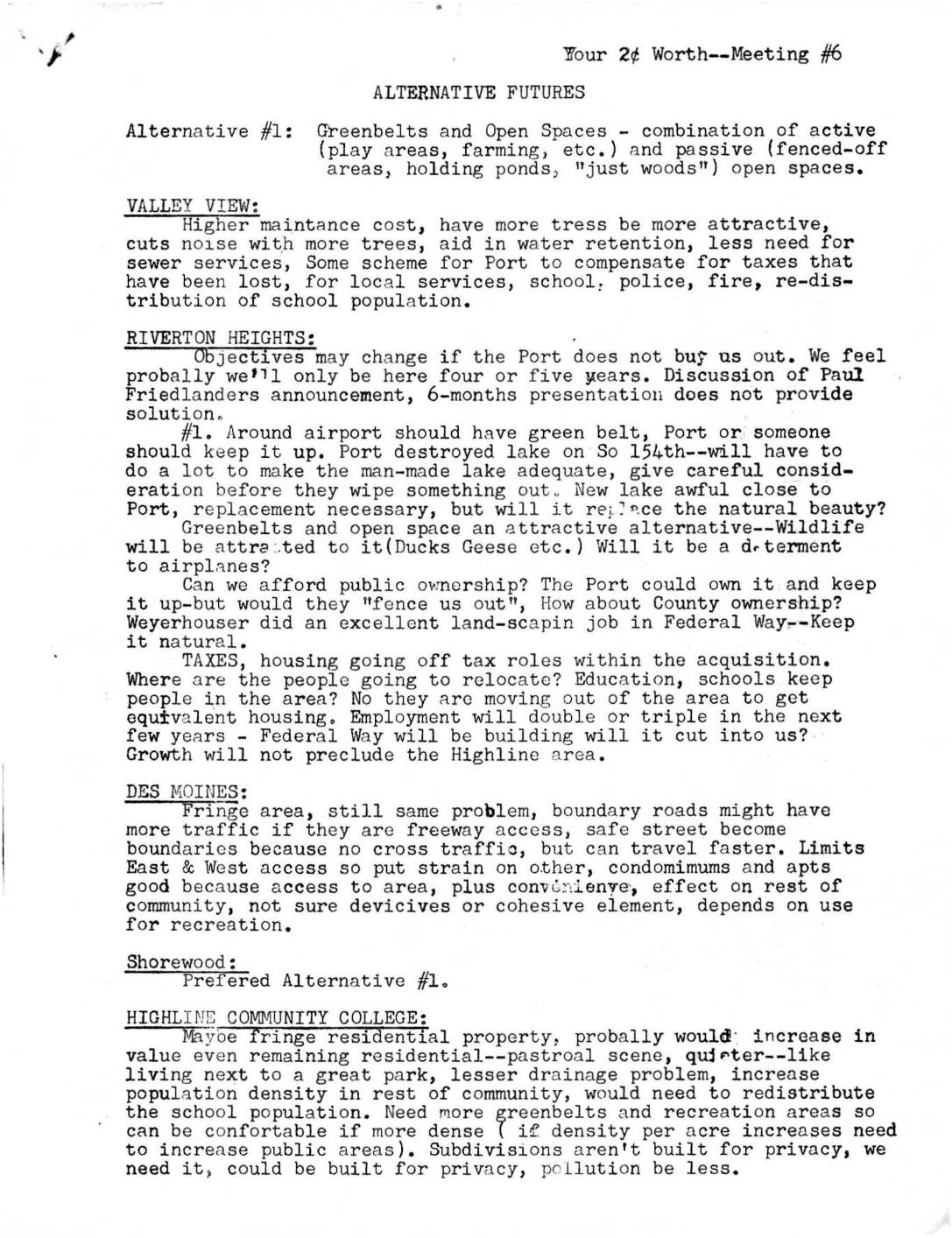
Your 2¢ Worth, Meeting #6: Alternative Futures
This document records community feedback from Meeting #6 of a public engagement series on alternative futures for neighborhoods near Sea-Tac Airport, where residents from Valley View, Riverton Heights, Des Moines, and other areas discussed three options: creating greenbelts and open spaces, pursuing a planned city renewal approach, or allowing an unrestricted free market. Participants raised concerns about airport noise, property taxes, displacement of residents, loss of natural resources, and the Port of Seattle's land acquisition practices. Communities generally favored enforceable planning with citizen input, and many preferred the greenbelt option, while expressing skepticism about government-led redevelopment and unregulated market approaches.