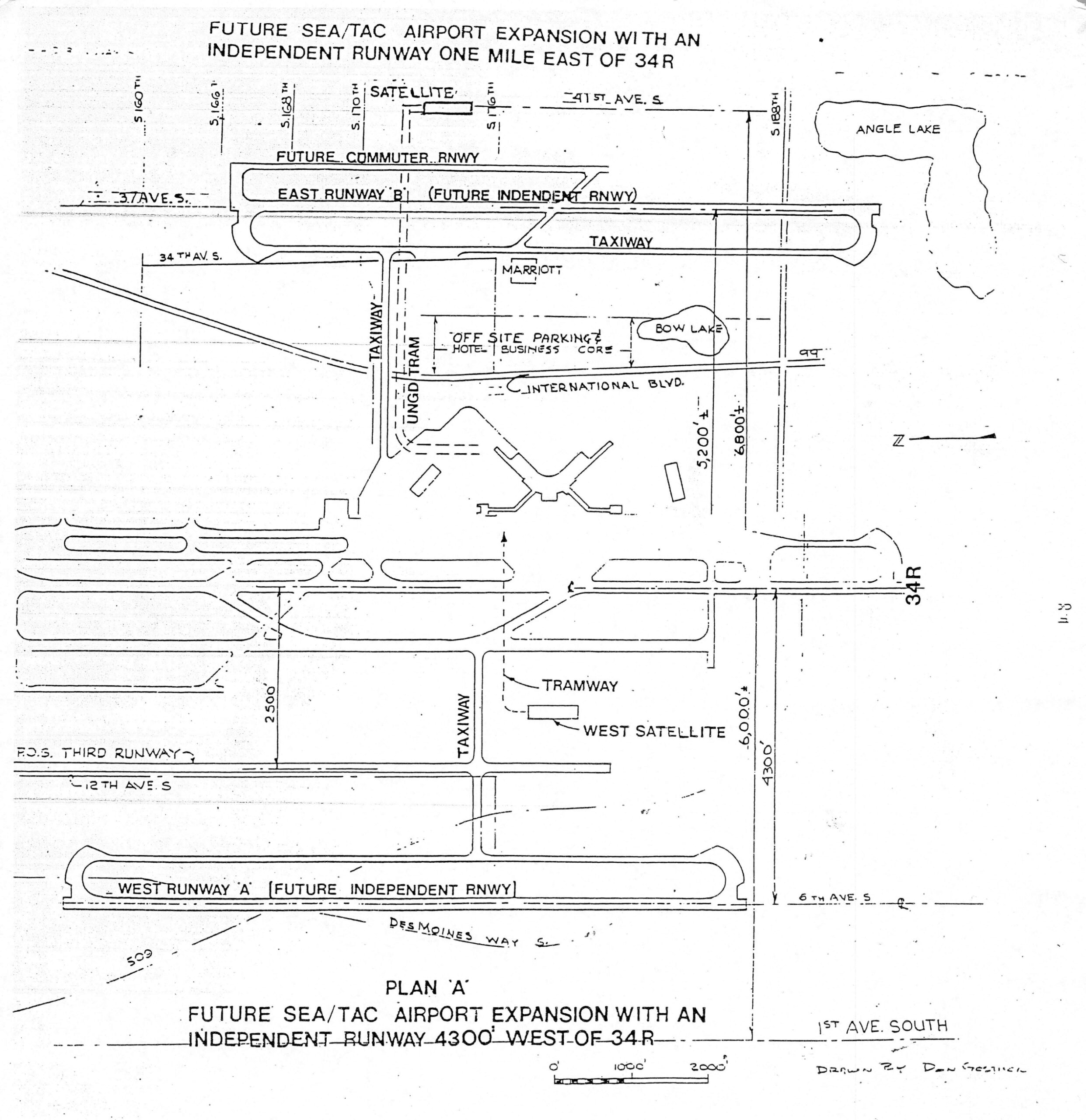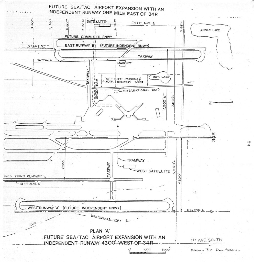
Architectural/planning drawing titled 'Future Sea/Tac Airport Expansion with an Independent Runway One Mile East of 34R,' showing Plan A layout with an independent runway 4,300 feet west of runway 34R. The drawing, credited to Don Getsick, depicts proposed runways (East Runway B, West Runway A), taxiways, satellite terminals, tramway, underground tram, off-site parking/hotel/business core, and surrounding streets including International Blvd, Des Moines Way S, and 1st Ave South, with Angle Lake and Bow Lake visible.Open full document
Notes
Architectural/planning drawing titled ‘Future Sea/Tac Airport Expansion with an Independent Runway One Mile East of 34R,’ showing Plan A layout with an independent runway 4,300 feet west of runway 34R. The drawing, credited to Don Getsick, depicts proposed runways (East Runway B, West Runway A), taxiways, satellite terminals, tramway, underground tram, off-site parking/hotel/business core, and surrounding streets including International Blvd, Des Moines Way S, and 1st Ave South, with Angle Lake and Bow Lake visible.