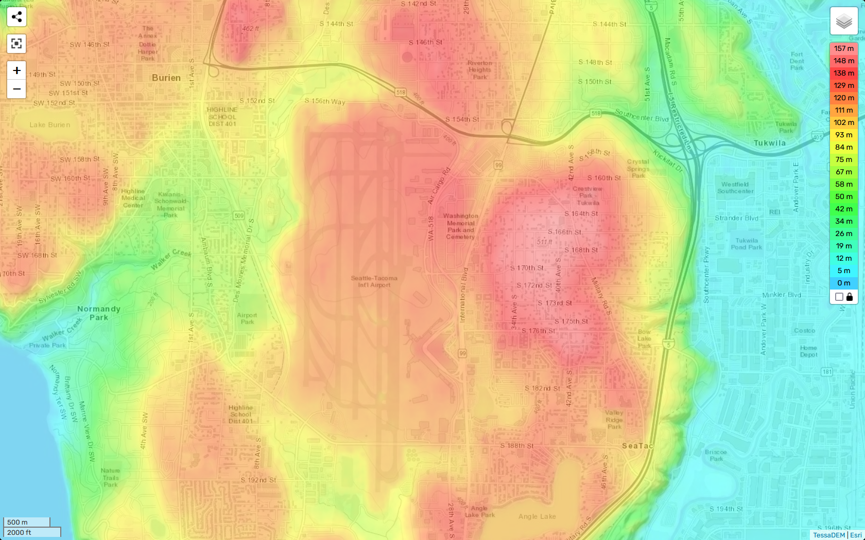
A TessaDEM/Esri elevation heatmap centered on Seattle-Tacoma International Airport and surrounding communities including Burien, Tukwila, SeaTac, and Normandy Park. The color scale ranges from 0 m (cyan/blue) to 157 m (deep red), with the highest elevations visible in the airport's central plateau and adjacent residential areas to the east near S. 164th–S. 182nd Streets.Open full document
Notes
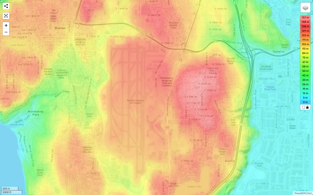
A TessaDEM/Esri elevation heatmap centered on Seattle-Tacoma International Airport and surrounding communities including Burien, Tukwila, SeaTac, and Normandy Park. The color scale ranges from 0 m (cyan/blue) to 157 m (deep red), with the highest elevations visible in the airport’s central plateau and adjacent residential areas to the east near S. 164th–S. 182nd Streets.