TagSea-Tac Airport(1855)
-
2026-08-11
Port of Seattle Commission Regular Meeting August 11, 2026
Order of Business 10:30 a.m. 1. Call to Order 2. Executive Session (if necessary, pursuant to RCW 42.30.110 – not open to the public) 12:00 p.m. – Public Session Reconvene or Call to Order and Pledge of Allegiance 3. Approval of the Agenda 4. Special Orders of the Day 5. Executive Director’s Report 6. Committee -
 2026-08-11
Port of Seattle Commission Regular Meeting packet August 11, 2026
Port Of Seattle Regular Commission Meeting agenda packet (Item 8b, for information only), dated August 5, 2026, from Deputy Executive Director Karen R. Goon to Executive Director Stephen P. Metruck. Covers monthly notification of Executive Director delegated approvals under DORA (Resolution No. 3810) that occurred in July 2026, totaling $4,250,000. Approvals include: Authorization for Vertical -
 2026-08-10
SEA Airport Moves Forward with Next Major Renovation: S Concourse
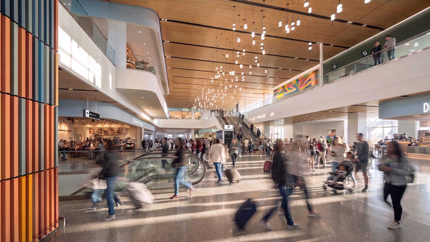
August 11, 2026 The Port of Seattle Commission authorized initial funding today for the next significant modernization project at Seattle-Tacoma International Airport (SEA) — the S Concourse Evolution (SCE) — with major construction scheduled to start in 2027. As part of the $5.5 billion Upgrade SEA capital improvement program, the estimated $2.5 billion S Concourse -
 2026-08-10
SEA Part 150 Technical Review Committee Meeting #7 Summary
Meeting summary for TRC Meeting #7 of the SEA Part 150 Noise Study, held August 10, 2026 via Zoom, facilitated by Ryan McMullan and Tom Fagerstrom of Port Of Seattle with ESA consultants Chris Nottoli and Scott Tatro. Topics include analysis of Noise Compatibility Program (NCP) measures: increased glideslopes for arrivals (3.0 to 3.5 degrees -
 2026-08-10
SEA Part 150 Technical Review Committee Meeting #7 Summary
Meeting summary for TRC Meeting #7 of the SEA Part 150 Noise Study, held August 10, 2026 via Zoom, facilitated by Ryan McMullan and Tom Fagerstrom of Port Of Seattle with ESA consultants Chris Nottoli and Scott Tatro. Topics include analysis of Noise Compatibility Program (NCP) measures: increased glideslopes for arrivals (3.0 to 3.5 degrees -
 2026-07-30
Auburn Wetland Nature Trail Path and Informational Kiosk
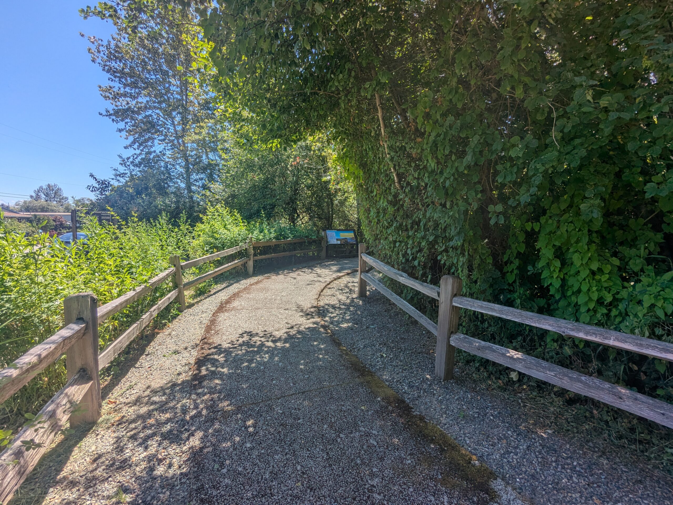
A paved gravel path flanked by wooden split-rail fences curves through dense green vegetation toward a visible informational signboard or kiosk in the background. The setting appears to be a public nature trail or park access path on a clear sunny day. -
 2026-07-29
Sea-Tac Airport expansion plan riles surrounding community
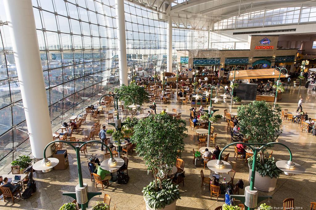
Sea-Tac hit a record 52.6 million passengers in 2025, a total expected to climb in the coming years. Don Wilson | Port of Seattle By Nick Pasion – Reporter, Puget Sound Business Journal Jul 13, 2026 Listen to this article5 min Story Highlights What’s This? The Port of Seattle’s Sustainable Aviation Master Plan includes 31 projects -
 2026-07-28
Port of Seattle Special Commission Meeting July 28, 2026
**8e.** One-year extension of the Duwamish Basin Steward Interlocal Agreement through December 31, 2027 **10b.** Introduction and adoption of Resolution No. 3852 amending Commission Bylaws — Articles IV (Meetings) and VI (Rules of Order) **11a.** 2026 Police Department Update presentation -
 2026-07-28
Port Of Seattle Regular Commission Meeting agenda, July 28, 2026
This document is the agenda for a Port of Seattle Regular Commission Meeting held on July 28, 2026, covering routine administrative and operational matters such as approval of meeting minutes, claims and obligations, lease agreements, and custodial services contracts. The meeting agenda does not contain any items specifically related to Sea-Tac Airport noise policy. Notable items include a $150 million authorization for airport custodial services contracts through 2031 and environmental stewardship agreements for the Duwamish Basin. -
 2026-07-16
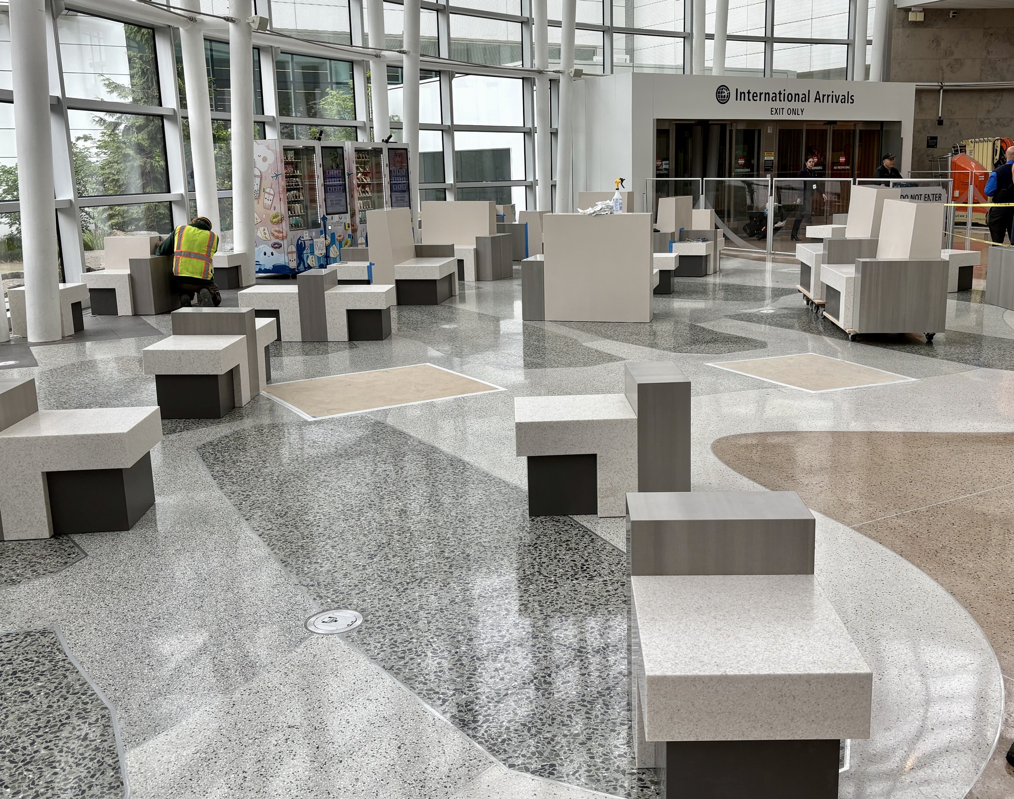
International Arrivals Facility seating area under construction
Interior view of the International Arrivals hall at Seattle-Tacoma International Airport (SEA), identifiable by the 'International Arrivals – EXIT ONLY' signage visible on the upper right. The space features newly installed terrazzo flooring with a wave pattern and modular concrete seating blocks, with a worker in a high-visibility vest suggesting ongoing construction or finishing work.