TagSea-Tac Airport(1855)
-
 2026-08-28
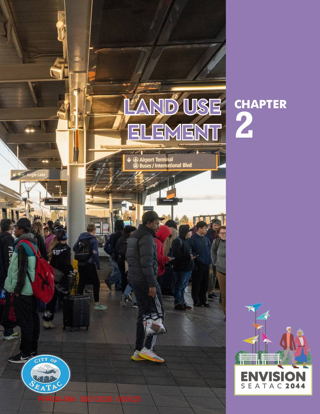
Chapter 2 Land Use Element
Chapter 2 of the City of SeaTac's Envision SeaTac 2044 Comprehensive Plan outlines the Land Use Element, covering goals and policies for citywide growth, residential and commercial development, parks, and essential public facilities through 2044. The chapter includes specific guidance on airport-related design practices and noise contours (Map 2.2), making it a key reference for understanding how SeaTac balances urban growth with the impacts of Seattle-Tacoma International Airport. It also addresses community design, equitable neighborhood access, and manufacturing and industrial land uses within the city. -
 2026-08-28
Chapter 2 Land Use Element
Chapter 2 of the City of SeaTac's Envision SeaTac 2044 Comprehensive Plan outlines the Land Use Element, covering goals and policies for citywide growth, residential and commercial development, parks, and essential public facilities through 2044. The chapter includes specific guidance on airport-related design practices and noise contours (Map 2.2), making it a key reference for understanding how SeaTac balances urban growth with the impacts of Seattle-Tacoma International Airport. It also addresses community design, equitable neighborhood access, and manufacturing and industrial land uses within the city. -
 2026-08-28
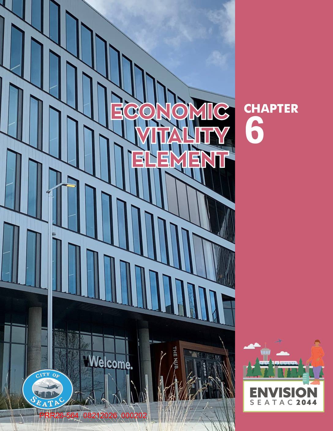
Chapter 6 Economic Vitality Element
Chapter 6 of SeaTac's Envision SeaTac 2044 Comprehensive Plan outlines the city's Economic Vitality Element, describing SeaTac's vision for growth through 2044 as a major regional job center anchored by Seattle-Tacoma International Airport, which accounts for nearly 25,000 of the city's approximately 43,000 jobs. The plan sets goals around supporting local businesses, diversifying the economy, improving public infrastructure, and enhancing the visitor experience through transit-oriented development and placemaking investments. While focused on economic development rather than noise policy specifically, it references airport expansion under the Sustainable Airport Master Plan (SAMP) as a key driver of future employment and business growth. -
 2026-08-28
Chapter 6 Economic Vitality Element
Chapter 6 of SeaTac's Envision SeaTac 2044 Comprehensive Plan outlines the city's Economic Vitality Element, describing SeaTac's vision for growth through 2044 as a major regional job center anchored by Seattle-Tacoma International Airport, which accounts for nearly 25,000 of the city's approximately 43,000 jobs. The plan sets goals around supporting local businesses, diversifying the economy, improving public infrastructure, and enhancing the visitor experience through transit-oriented development and placemaking investments. While focused on economic development rather than noise policy specifically, it references airport expansion under the Sustainable Airport Master Plan (SAMP) as a key driver of future employment and business growth. -
 2026-08-28
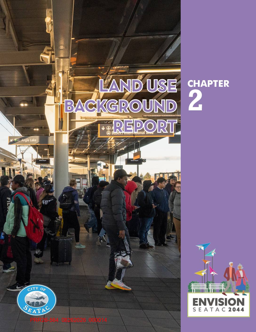
Chapter 2 Land Use Background Report
This document is Chapter 2 of the City of SeaTac's Envision SeaTac 2044 Comprehensive Plan, providing a background report on land use patterns, physical features, and growth targets within the city. It covers topics including existing residential, commercial, industrial, and airport-related land uses, as well as water resources, housing and employment targets through 2044, and essential public facilities. While focused broadly on land use planning, it includes data relevant to airport-related land use and the impact of Seattle-Tacoma International Airport on surrounding development. -
 2026-08-28
Chapter 2 Land Use Background Report
This document is Chapter 2 of the City of SeaTac's Envision SeaTac 2044 Comprehensive Plan, providing a background report on land use patterns, physical features, and growth targets within the city. It covers topics including existing residential, commercial, industrial, and airport-related land uses, as well as water resources, housing and employment targets through 2044, and essential public facilities. While focused broadly on land use planning, it includes data relevant to airport-related land use and the impact of Seattle-Tacoma International Airport on surrounding development. -
 2026-08-22
Jerry Dinndorf Airport Files Box 4: Expert Arbitration Panel on Demand/System Management and Noise at Sea-Tac — Verbatim Record of Proceedings, May 3–5, 1995 (1992–1996)
This archival record (Box No. 01421) contains Jerry Dinndorf's airport files covering the years 1992–1996, including verbatim proceedings from an expert arbitration panel on demand, system management, and noise at Seattle-Tacoma International Airport (May 3–5, 1995), along with original documents and returned envelopes related to the mailing of an addendum notice. The record was prepared by Doris Dungan on 21 July 2005 and is held in offsite storage under the Airport Information Resources (AIR) department. It was scheduled for review in 2011 and remains on long-term loan. -
2026-08-22
Jerry Dinndorf Airport Files Box 4: Expert Arbitration Panel on Demand/System Management and Noise at Sea-Tac — Verbatim Record of Proceedings, May 3–5, 1995 (1992–1996)
This Archives and Storage record (Box No. 01421, Department Code AIR, CID 11128) was prepared by Doris Dungan on 21 July 2005 and covers Jerry Dinndorf airport files box 4, including a verbatim record of proceedings from an Expert arbitration panel on demand/system management and noise at Sea-Tac (May 3–5, 1995) and returned envelopes related to notice of addendum issuance and availability, spanning 1992–1996. The record copy is held at Offsite Storage under a Long Term Loan status. -
 2026-08-20
Comments on the Sea-Tac Airport Master Plan EIS Due August 20, 2026
A concerned resident living near Sea-Tac Airport submitted formal comments arguing that the airport's Master Plan Environmental Impact Statement (EIS) is deeply flawed, citing inconsistent data, outdated figures, lack of cumulative impact analysis, and poor document organization across its 6,000 pages. The commenter contends that the EIS fragments project reviews to minimize apparent harm, uses selectively chosen baselines to downplay environmental and health impacts on surrounding communities, and fails to address a full build-out scenario. The primary demand is that the EIS be completely redone with transparent assumptions, holistic cumulative impact analysis, up-to-date data, and accessible cross-referenced documentation. -
 2026-08-11
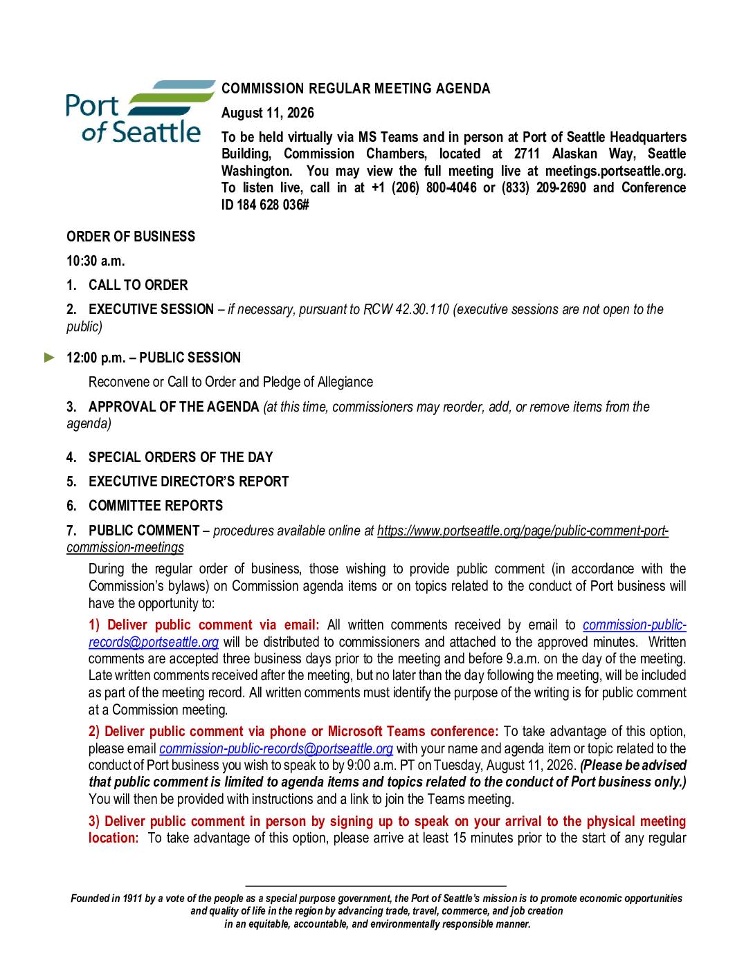
Port Of Seattle Commission Regular Meeting Agenda, August 11, 2026
Preliminary agenda for the Port Of Seattle Commission Regular Meeting of August 11, 2026, held in person at 2711 Alaskan Way, Seattle, and virtually via MS Teams. Commissioners: Ryan Calkins, Sam Cho, Fred Felleman, Toshiko Hasegawa, Hamdi Mohamed; Executive Director Stephen P. Metruck. Consent agenda (items 8a–8k) includes: SEA Meter Data Management System Project ($4,800,000