TagAuburn Wetland(82)
-
Port of seattle habitat restoration and mitigation bank program page 9 Auburn
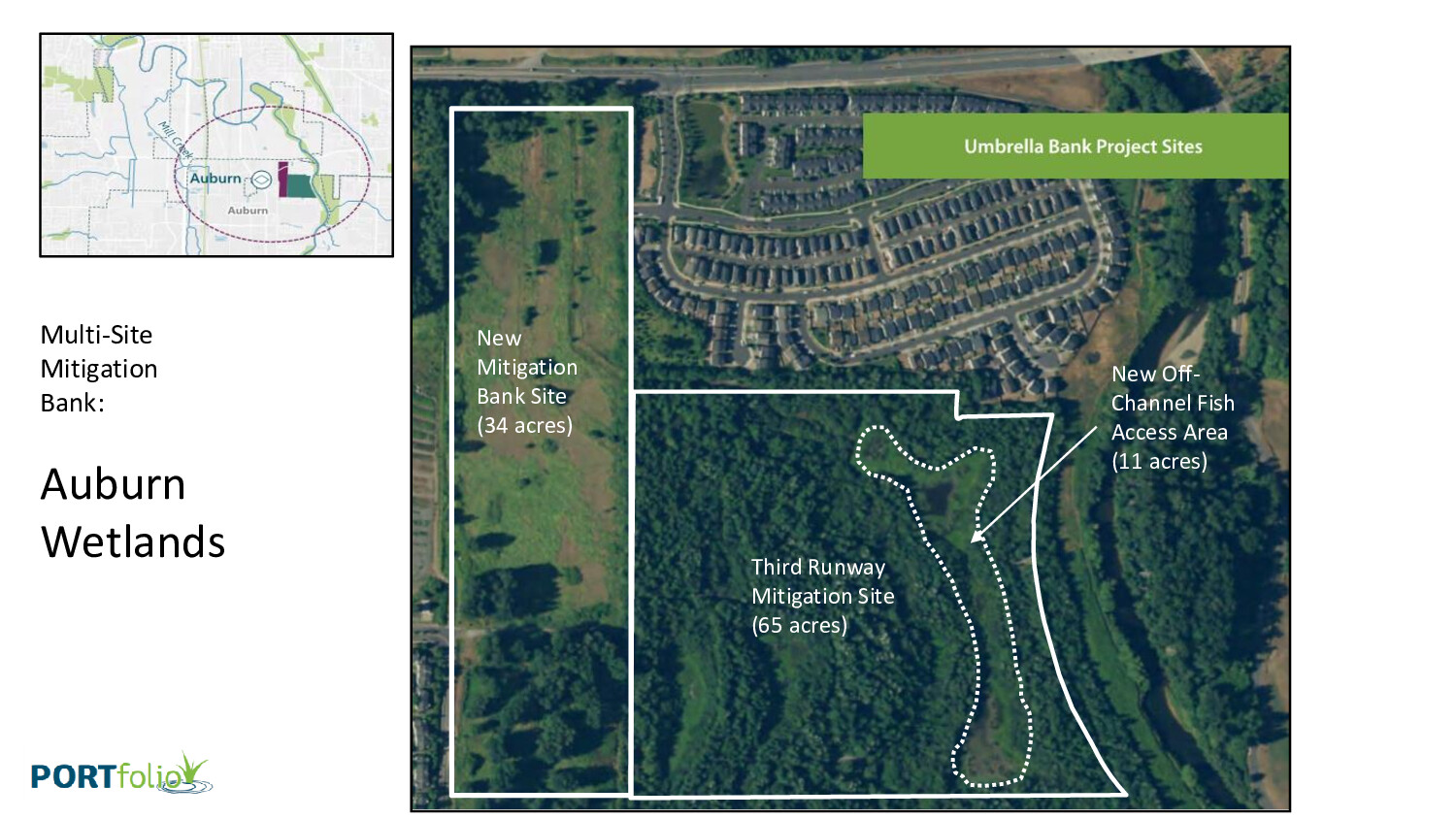
Aerial map produced by PORTfolio showing the Auburn Wetlands Multi-Site Mitigation Bank near Auburn, WA, identifying three project components: a New Mitigation Bank Site (34 acres), the Third Runway Mitigation Site (65 acres), and a New Off-Channel Fish Access Area (11 acres), collectively labeled as Umbrella Bank Project Sites. The imagery is consistent with Sea-Tac Airport third-runway wetland mitigation planning materials. -
Auburn Wetlands
Environmental mitigation at its best and worst To build the Third Runway, the Port of Seattle proposed to fill all or parts of some 12 separate wetlands across the Miller Creek, Walker Creek, and Des Moines Creek watersheds–every one of them a class AA water, the highest protection provided by the state. FAA grants are -
-
-
-
-
 2026-07-30
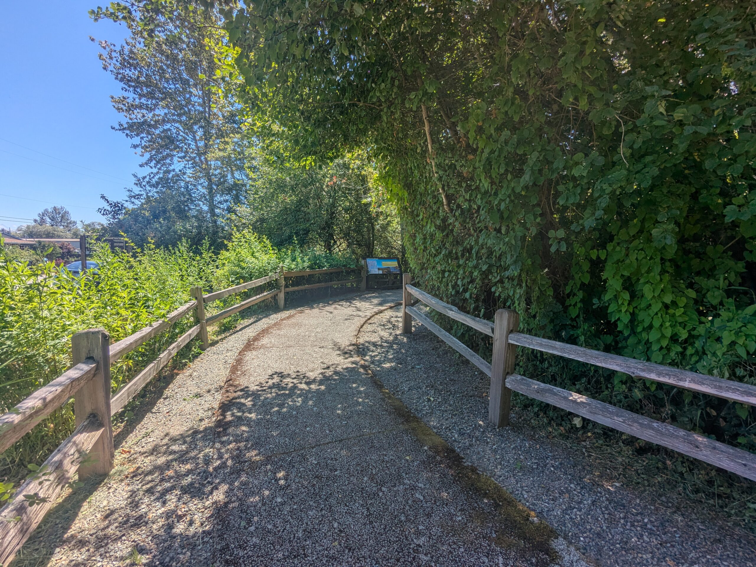
Auburn Wetland Nature Trail Path and Informational Kiosk
A paved gravel path flanked by wooden split-rail fences curves through dense green vegetation toward a visible informational signboard or kiosk in the background. The setting appears to be a public nature trail or park access path on a clear sunny day. -
-
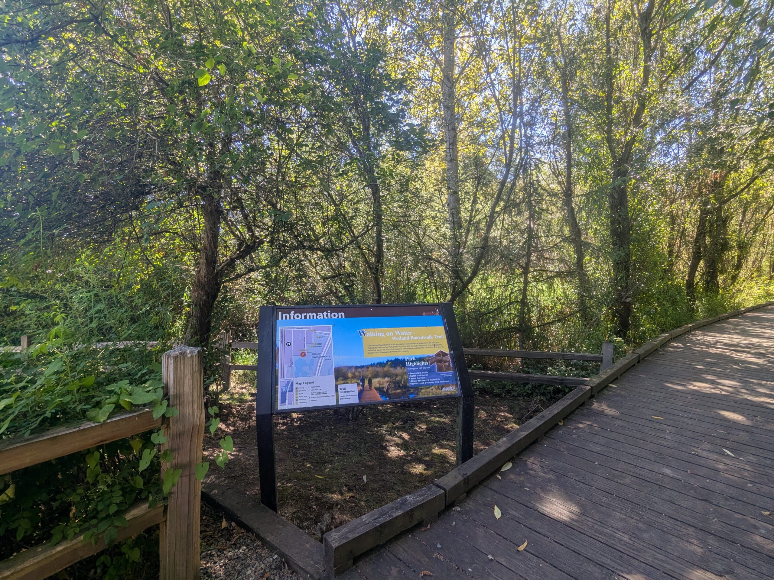 2026-07-30
Walking on Water Wetland Boardwalk Trail — Information Kiosk and Trail Map Sign
An information kiosk at the entrance of the 'Walking on Water Wetland Boardwalk Trail' shows a trail map, park highlights, and interpretive content. The wooden boardwalk trail and surrounding wetland forest vegetation are visible behind the sign. -