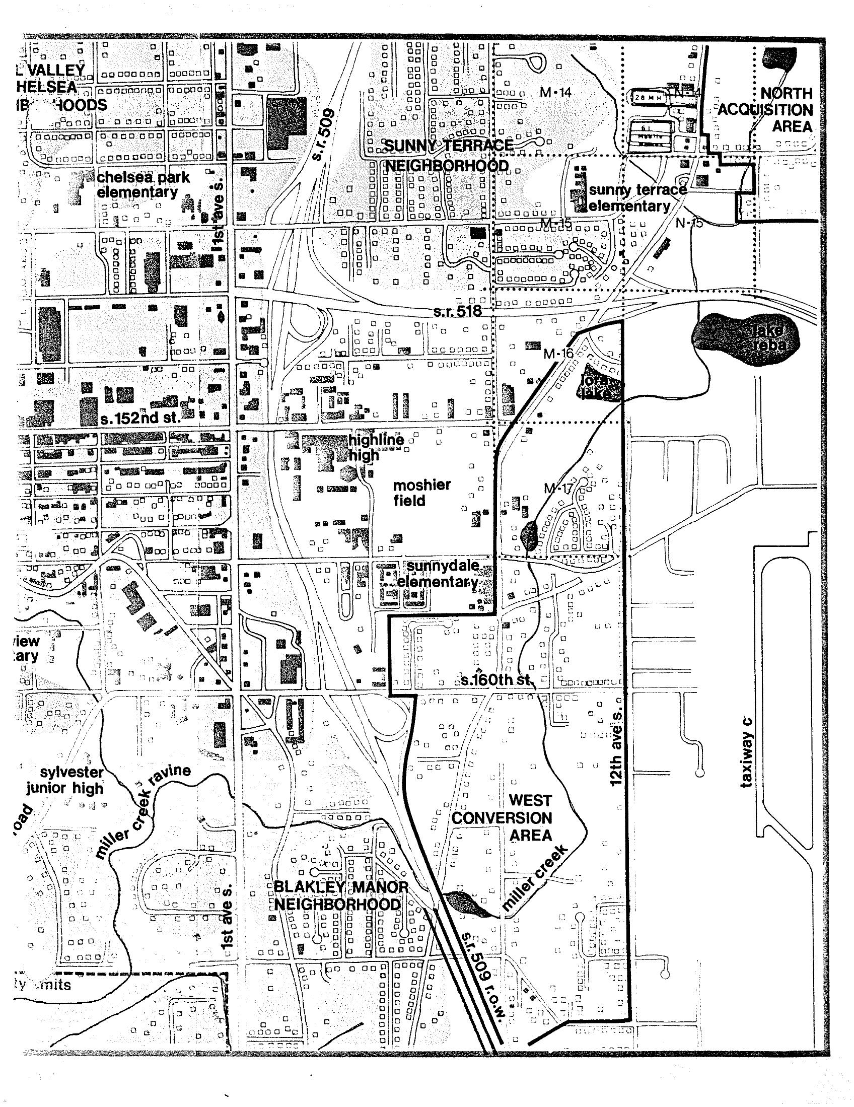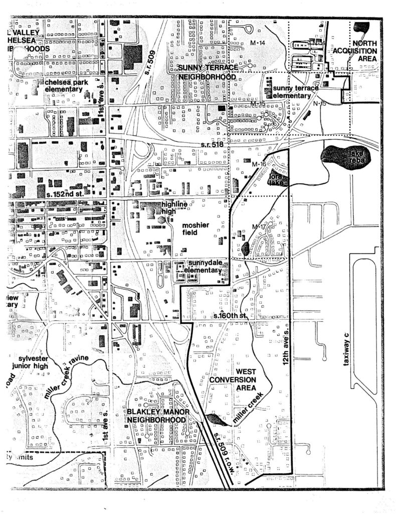
A detailed neighborhood map related to Sea-Tac Airport noise policy, showing the West Conversion Area and North Acquisition Area boundaries. The map identifies surrounding neighborhoods and landmarks including Sunny Terrace Neighborhood, Blakley Manor Neighborhood, Highline High School, Moshier Field, Sunnydale Elementary, Chelsea Park Elementary, Sunny Terrace Elementary, Sylvester Junior High, Miller Creek Ravine, Lake Reba, and major roads including S.R. 509, S.R. 518, S. 152nd St., and S. 160th St., with grid markers M-14 through M-17 and N-15.Open full document
Notes
A detailed neighborhood map related to Sea-Tac Airport noise policy, showing the West Conversion Area and North Acquisition Area boundaries. The map identifies surrounding neighborhoods and landmarks including Sunny Terrace Neighborhood, Blakley Manor Neighborhood, Highline High School, Moshier Field, Sunnydale Elementary, Chelsea Park Elementary, Sunny Terrace Elementary, Sylvester Junior High, Miller Creek Ravine, Lake Reba, and major roads including S.R. 509, S.R. 518, S. 152nd St., and S. 160th St., with grid markers M-14 through M-17 and N-15.