TagSea-Tac Airport(1835)
-
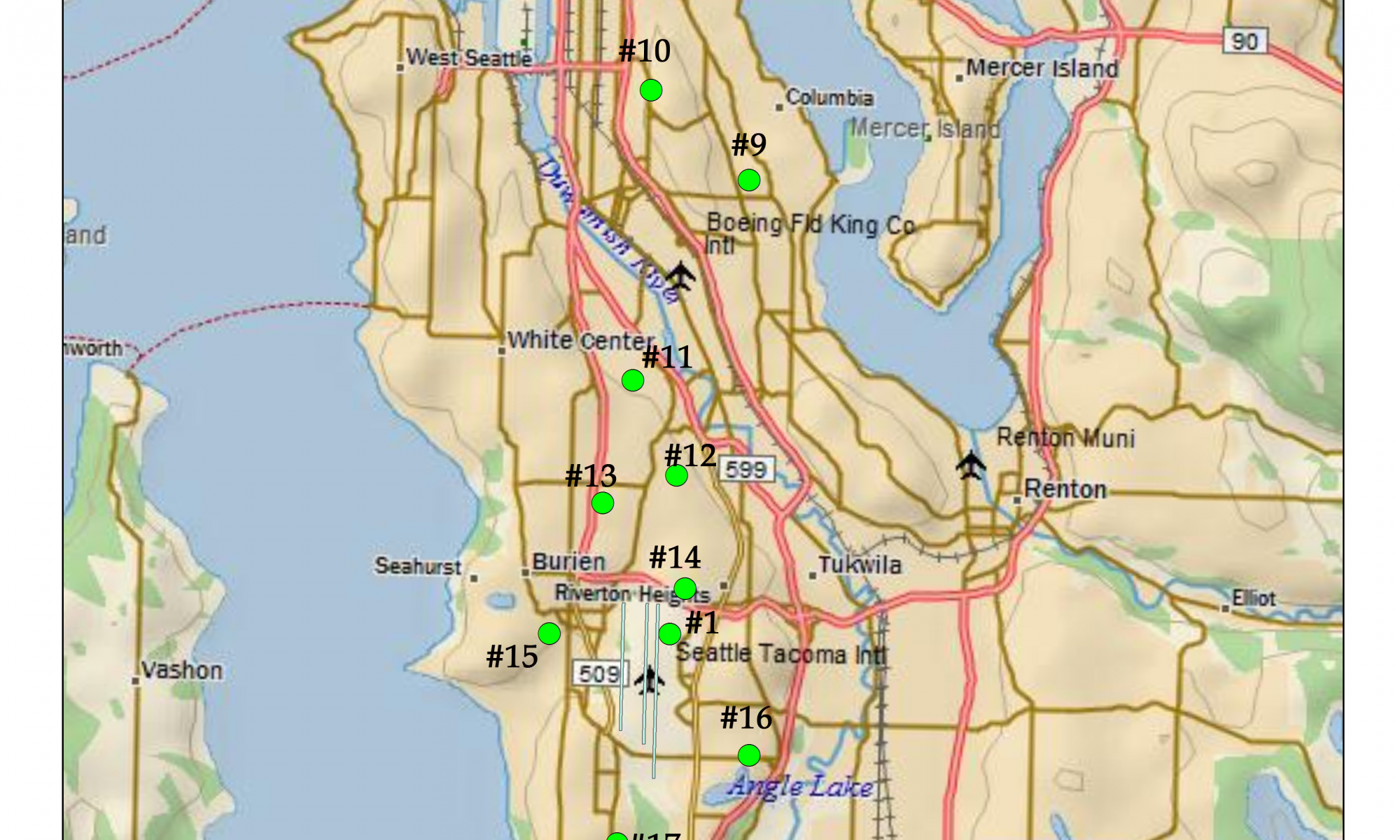
NMT_locations
A map showing numbered noise monitoring stations (#1, #9–#17) around Seattle-Tacoma International Airport (Sea-Tac) and the surrounding communities including Burien, White Center, Tukwila, Renton, and West Seattle. The stations are marked with green dots and correspond to a noise measurement network in the vicinity of Sea-Tac, Boeing Field/King County International Airport, and Renton Municipal Airport. -
 2017-09-01
Air Quality Baseline (2016) Condition Report: SAMP Environmental Review, Seattle-Tacoma International Airport
This report, prepared by Landrum & Brown for the Port of Seattle, documents baseline air quality conditions at Seattle-Tacoma International Airport as of 2016, as part of the Sustainable Airport Master Plan (SAMP) Environmental Review. It inventories emission sources across the airport—including aircraft operations, ground support equipment, and stationary sources like boilers and generators—and compares 2016 emission levels to those from 2014. The findings are intended to support future environmental planning and assessment of proposed airport development. -
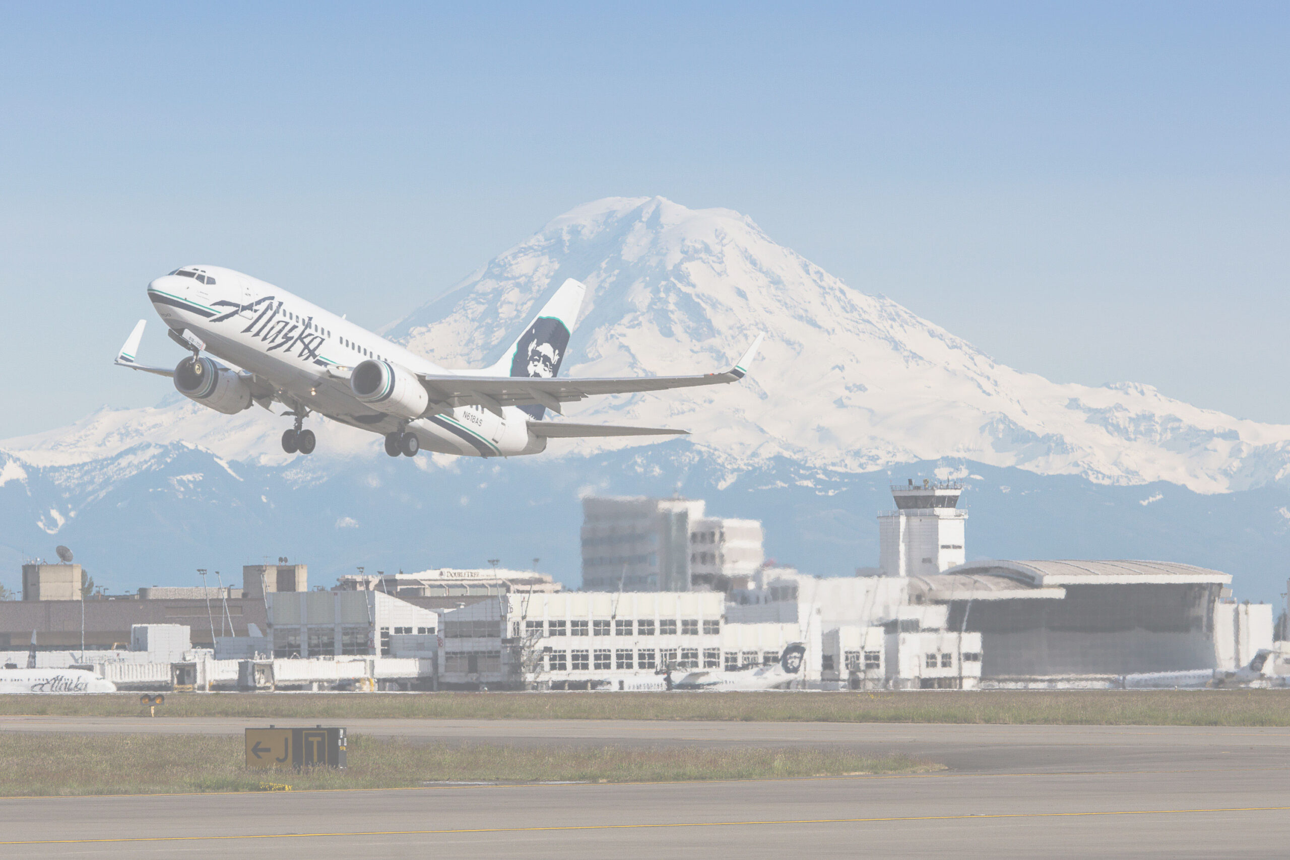
Alaska Airlines Boeing 737 Takeoff at Sea-Tac Airport with Mount Rainier
An Alaska Airlines Boeing 737 takes off from Seattle-Tacoma International Airport (Sea-Tac), with the airline's distinctive Eskimo/Native figure tail livery and 'Alaska' fuselage lettering clearly visible. Mount Rainier dominates the background skyline along with airport terminal and control tower structures; an Alaska Airlines maintenance or operations facility is visible in the mid-ground. -
 2017-07-26
Puget Sound Gateway Program SR 509 Completion Project: Highline Forum presentation
A July 2017 presentation by the Washington State Department of Transportation outlines the Puget Sound Gateway Program's SR 509 Completion Project, which aims to build new freeway connections linking the region's major ports and Seattle-Tacoma International Airport to surrounding communities and Eastern Washington. The project includes plans for tolling to help fund construction and is intended to improve freight movement, airport access for passengers and air cargo, and regional economic development. -
 2017-07-26
Air Quality Initiatives at Sea-Tac Airport
This July 2017 presentation by Port of Seattle Sustainability Manager Leslie Stanton outlines air quality initiatives at Seattle-Tacoma International Airport, covering the types and sources of air pollution, the Port's environmental goals, and efforts to reduce emissions. It highlights that while the Port has limited regulatory authority, it is pursuing innovative programs with multiple benefits and tracking emerging science around ultrafine particulates and particulate matter reductions tied to climate strategies. The document serves as an overview of Sea-Tac's approach to managing and improving local air quality amid growing aviation activity. -
 2017-07-26
Air quality initiatives at Sea-Tac Airport
This 2017 presentation by Port of Seattle Sustainability Manager Leslie Stanton outlines air quality initiatives at Seattle-Tacoma International Airport, covering pollution sources, reduction programs, and the Port's environmental goals. It highlights that while the Port has limited regulatory authority, it is pursuing innovative strategies to cut emissions, including efforts around ultrafine particulates and climate-related particulate matter reductions. The presentation also reviews existing air quality studies and identifies next steps for improving air quality in and around Sea-Tac Airport. -
 2017-06-26
Des Moines city council objects to new airport passenger holding structure
By Jack Mayne Des Moines city government is questioning a large new traveler holding room at the south end of Seattle-Tacoma International Airport because city residents are constantly challenged by noise and health impacts. The Port of Seattle had said the facility was a not a significant structure, but the city objects and wants more -
 2017-06-21
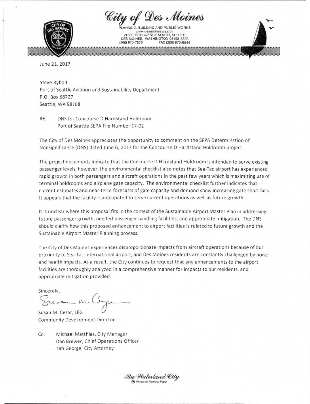
DNS for Concourse D Hardstand Holdroom comment letter
In a June 21, 2017 letter to the Port of Seattle, the City of Des Moines raised concerns about the SEPA Determination of Nonsignificance for the Concourse D Hardstand Holdroom project at Sea-Tac Airport, questioning whether the facility was truly limited to serving existing passenger levels or was also intended to support future growth. The city argued that the DNS should clarify how the project relates to the Sustainable Airport Master Plan and future expansion. Des Moines emphasized that its residents already bear disproportionate noise and health impacts from airport operations and requested thorough environmental analysis and appropriate mitigation for any airport facility enhancements. -
2017-06-05
Ground broken for Seattle Gateway Center – Two buildings add office space, service to port and 600 jobs in Burien
Major logistics center opens new facility near the airport Brian J. Wilson selected to be Burien’s new City Manager UPDATE: Flightpath hopes to become a neighborhood hub for Boulevard Park; Opening the week of June 26 Say Goodbye to Glacier High School with a Walk-through on June 17 FAA calls for comment on proposed use -
 2017-06-01
Technical Memorandum No. 5: Facility Requirements — Seattle-Tacoma International Airport
This 2017 technical memorandum, prepared by Leigh Fisher for the Port of Seattle, outlines facility requirements for Seattle-Tacoma International Airport as part of the Sustainable Airport Master Plan. It covers planned needs across airfield operations, passenger terminals, ground access and parking, air cargo, and general aviation based on projected activity levels. The document provides detailed assessments of existing infrastructure and identifies future capacity and design requirements to accommodate long-term growth at Sea-Tac.