TagAEDT(17)
-
 2026-08-30
Appendix G Comments and Responses
This document is Appendix G of the Seattle-Tacoma International Airport Part 150 Noise Study, compiling public comments and official responses gathered during the study's development. It covers a wide range of topics organized into three main areas: Part 150 regulations and noise exposure maps (including noise metrics, flight tracks, and FAA guidelines), current airport operations and community concerns (such as flight paths, nighttime operations, and the sound insulation program), and miscellaneous issues like health effects, air quality, and property values. Comments were collected through multiple channels including public open houses, workshops, the study website, and email. -
2026-08-30
Appendix G Comments and Responses
This document is Appendix G of the Seattle-Tacoma International Airport Part 150 Noise Study, compiling public comments and official responses gathered during the study's development. It covers a wide range of topics organized into three main areas: Part 150 regulations and noise exposure maps (including noise metrics, flight tracks, and FAA guidelines), current airport operations and community concerns (such as flight paths, nighttime operations, and the sound insulation program), and miscellaneous issues like health effects, air quality, and property values. Comments were collected through multiple channels including public open houses, workshops, the study website, and email. -
 2026-06-29
Appendix H Official Noise Exposure Maps
This document presents the official Noise Exposure Maps (NEMs) for Seattle-Tacoma International Airport (SEA), developed as part of the FAA Part 150 noise study. It includes maps showing 2022 existing noise conditions and projected 2032 future conditions, along with the flight tracks used in the Aviation Environmental Design Tool (AEDT) modeling for both north and south flow operations. The maps illustrate the geographic extent of aircraft noise impacts across surrounding communities, including Seattle, Burien, SeaTac, Tukwila, and Des Moines. -
2026-06-29
Appendix H Official Noise Exposure Maps
This document presents the official Noise Exposure Maps (NEMs) for Seattle-Tacoma International Airport (SEA), developed as part of the FAA Part 150 noise study. It includes maps showing 2022 existing noise conditions and projected 2032 future conditions, along with the flight tracks used in the Aviation Environmental Design Tool (AEDT) modeling for both north and south flow operations. The maps illustrate the geographic extent of aircraft noise impacts across surrounding communities, including Seattle, Burien, SeaTac, Tukwila, and Des Moines. -
 2026-06-20
Appendix H: Official Noise Exposure Maps — 2024 Part 150 Study
Appendix H of the Seattle-Tacoma International Airport (Sea-Tac Airport) Part 150 Study, containing official Noise Exposure Maps (NEMs) for 2022 Existing Conditions and 2032 Future Conditions, signed by Sarah Cox, Director of Aviation Environment & Sustainability, Port of Seattle, dated 06/20/26. Includes Aviation Environmental Design Tool (AEDT) flight tracks — North Flow and South Flow -
 2026-05-29
ANES 2026 AWG: Orange County Community Proactive Involvement in Addressing Change (Post NexGen) — Commercial Airline Requested Departure Procedure Adjustments at SNA
Aviation Noise and Emissions Symposium (ANES) Aviation Working Group (AWG) presentation on seven specific community requests to airlines to mitigate departure noise at John Wayne Airport (SNA/Orange County). Covers NADP-1 steep departure procedures (1.2 dB reduction), STAYY4 two-turn procedure approved by FAA, 1200-foot throttle cutback, further power reduction at 1200 feet altitude initiated April 2024 -
 2024-08-01
Aviation Environmental Design Tool (AEDT) version 3g supplemental manual: Quick start tutorial
The Aviation Environmental Design Tool (AEDT) Version 3g is a Federal Aviation Administration software system used to model aircraft operations and calculate their environmental impacts, including noise, emissions, and fuel consumption. This Quick Start Tutorial guides users through building basic noise and emissions studies, covering steps such as adding airports, creating flight tracks, setting up receptors, and running metric results. The tool is relevant to airport noise policy analysis, as it provides a structured method for quantifying and evaluating the environmental effects of aviation activity around airports like Sea-Tac. -
 2024-05-13
Integrated Noise Model (INM)
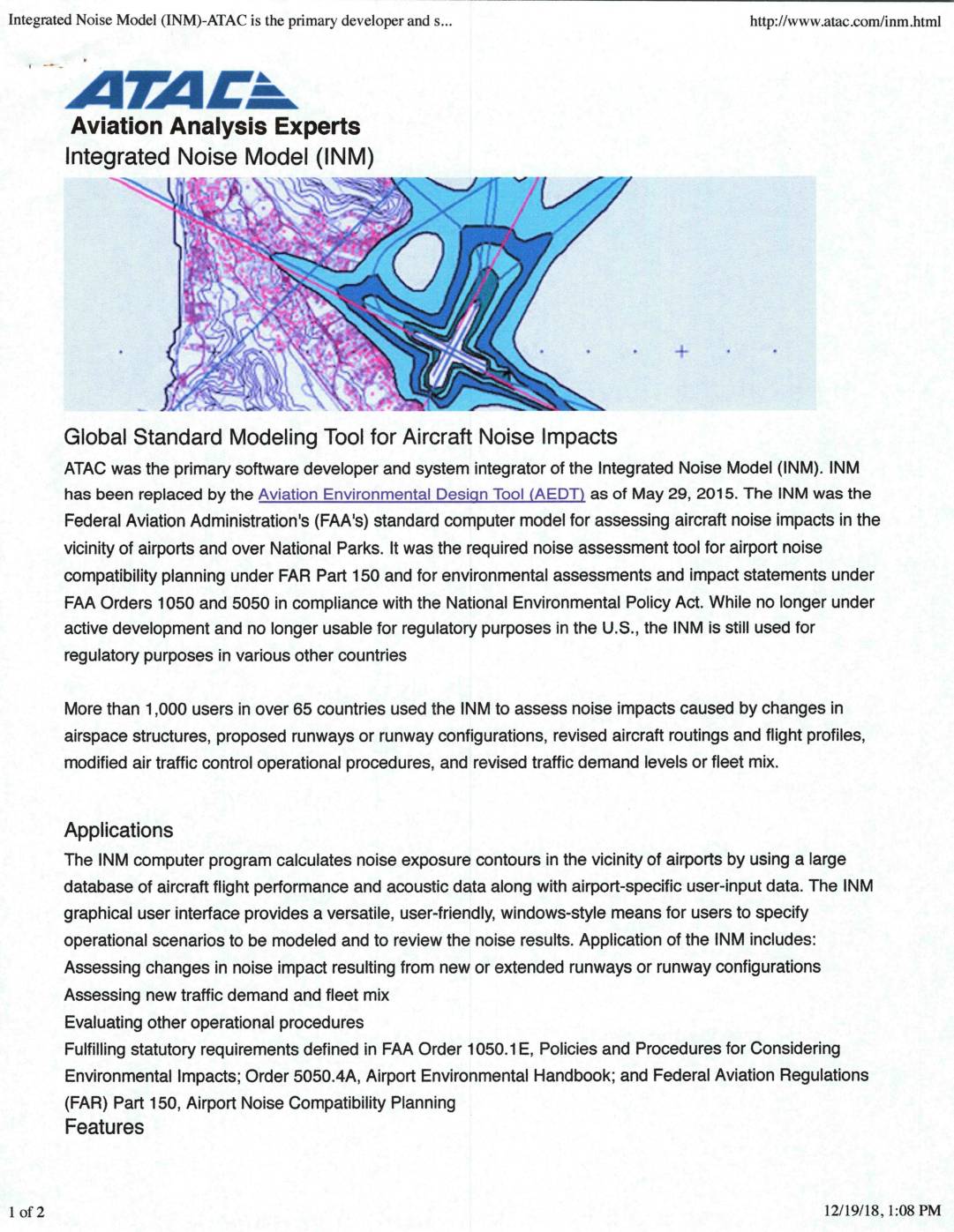
The Integrated Noise Model (INM), developed by ATAC Corporation for the FAA, was the standard computer tool used to assess aircraft noise impacts near airports like Sea-Tac, calculating noise exposure contours and predicted sound levels at sensitive locations such as schools and hospitals. It was required for airport noise compatibility planning under FAR Part 150 and environmental reviews under the National Environmental Policy Act until it was replaced by the Aviation Environmental Design Tool (AEDT) in May 2015. Though no longer valid for regulatory use in the U.S., the INM was used by over 1,000 users in 65 countries to evaluate the noise effects of runway changes, flight routing, air traffic procedures, and shifts in aircraft fleet mix. -
 2024-04-15
Aircraft noise exposure and body mass index among female participants in two Nurses’ Health Study prospective cohorts living around 90 airports in the United States
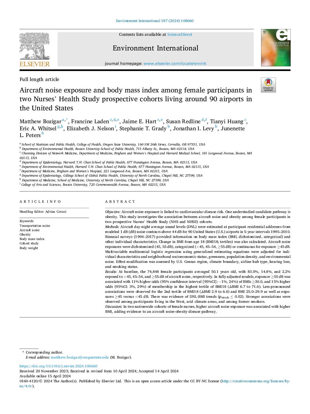
A large study of nearly 75,000 female nurses living near 90 U.S. airports found that those exposed to higher levels of aircraft noise were more likely to have higher body mass index (BMI) and greater weight gain since age 18. Women exposed to the loudest aircraft noise (55 decibels or more) had an 11% higher chance of being obese and a 15% higher chance of falling into the highest category of weight gain compared to those in quieter areas. The findings suggest that chronic aircraft noise exposure — such as that experienced by residents near Sea-Tac Airport — may contribute to obesity risk, potentially through stress-related pathways including disrupted sleep and hormonal changes. -
 2024-02-08
Appendix J: Noise 2/2 Technical Report Modeling Protocol: AEDT Version 3e to 3f Update
This technical memorandum from Landrum & Brown (February 2024) explains that noise modeling for the Seattle-Tacoma Airport (SEA) Sustainable Airport Master Plan (SAMP) Environmental Review was updated from AEDT Version 3e to the newer AEDT Version 3f, released December 13, 2023. The upgrade allowed modelers to use actual aircraft data for the Boeing 737-7 and Cessna 408 SkyCourier rather than substitute aircraft, improving modeling accuracy. The document details the specific airframe, engine, and Aircraft Noise and Performance (ANP) data changes made between the two software versions.