TagSea-Tac Airport(1835)
-
 2017-11-05
The Noise Impact of the FAA’s NextGen Program on Vashon Island
This November 2017 presentation by David Goebel examines how the FAA's NextGen modernization program—specifically the new 'HAWKZ' RNAV flight procedure—has increased aircraft noise over Vashon Island, located west of Seattle-Tacoma International Airport. It explains why so many arriving flights are routed over the island despite SeaTac's runways running north-south, compares the old radar-based approach with the new GPS-guided one, and discusses the real-world altitude impacts residents have experienced. The presentation also covers community response options and what other affected neighborhoods have done to push back against similar NextGen-related noise increases. -
 2017-10-24
Draft 2018 state legislative agenda presentation to Port Of Seattle Commission
This October 2017 presentation outlines the Port of Seattle's draft state legislative priorities for 2018, including support for a study of State Route 518 to address transportation congestion and safety challenges caused by the growth of Seattle-Tacoma International Airport. The agenda also includes workforce development initiatives focused on the maritime, manufacturing, and industrial sectors. The Commission was asked to formally adopt the agenda at the October 24, 2017 meeting. -
 2017-10-18
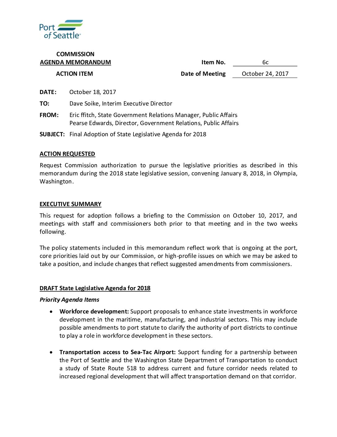
Final adoption of state legislative agenda for 2018
In October 2017, the Port of Seattle Commission considered its 2018 state legislative priorities, which included workforce development in maritime and industrial sectors, transportation improvements around Sea-Tac Airport, and land use issues affecting port competitiveness. The agenda also addressed support for small and minority-owned businesses, rural economic development, and statewide tourism marketing. While the document covers broad port policy goals, it does not contain specific noise policy provisions related to Sea-Tac Airport operations. -
 2017-10-18
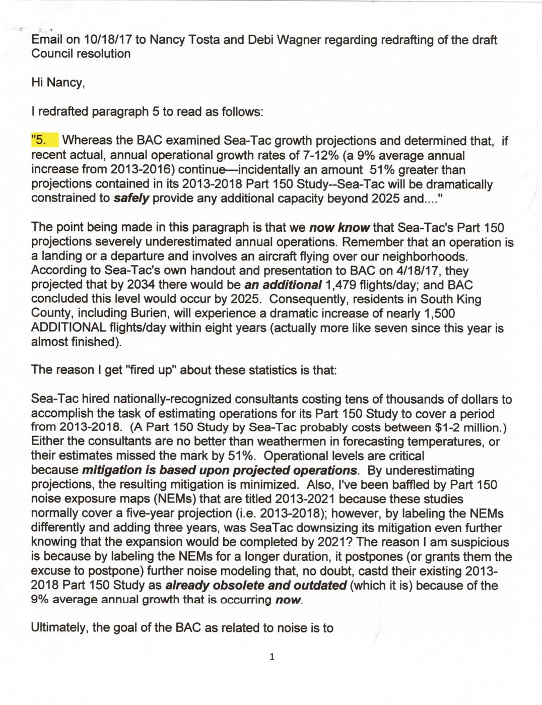
Email on 10/18/17 to Nancy Tosta and Debi Wagner regarding redrafting of the draft Council resolution
In an October 2017 email, Burien Advisory Committee member Sharyn writes to council members Nancy Tosta and Debi Wagner to propose revisions to a draft council resolution concerning Sea-Tac Airport noise and growth. She argues that Sea-Tac's 2013-2018 Part 150 Study severely underestimated actual flight operations by 51%, which has minimized noise mitigation efforts for South King County residents. She calls for updated noise modeling, a reduction in operational levels, and an end to flights over Seahurst, warning that without immediate action, residents could face nearly 1,500 additional flights per day by 2025 with no mitigation relief for another decade. -
 2017-10-16
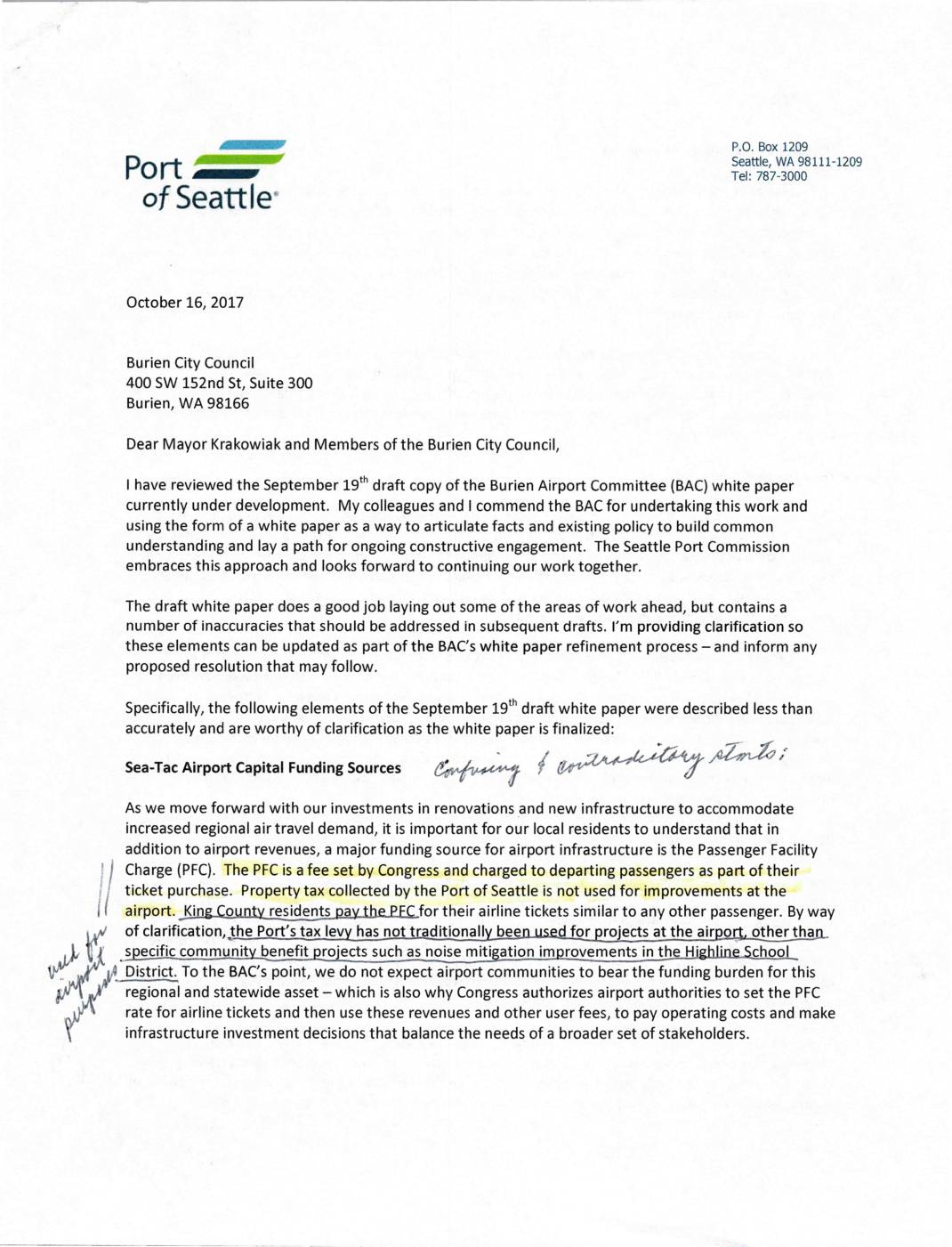
Letter from Port Of Seattle Commission to Burien City Council regarding BAC white paper
In this October 2017 letter, Port of Seattle Commission President Tom Albro responds to the Burien City Council regarding inaccuracies in a draft white paper produced by the Burien Airport Committee. Albro clarifies that airport improvements are funded primarily through Passenger Facility Charges paid by airline travelers—not local property taxes—and defends the Port's noise mitigation and air quality efforts, noting nearly $400 million spent on programs including home insulation and school soundproofing. He also invites Burien to participate in a new airport stakeholder advisory roundtable as a forum for ongoing community engagement on airport-related issues. -
 2017-10-12
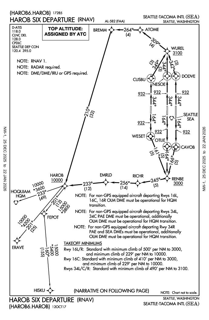
HAROB6 Departure (RNAV)
FAA instrument departure procedure chart for the HAROB SIX DEPARTURE (RNAV) at Seattle-Tacoma International Airport. This chart provides navigation waypoints, altitudes, and takeoff minimums for aircraft departing SEA using RNAV navigation procedures. -
 2017-10-01
Technical Memorandum No. 6: Alternatives — Seattle-Tacoma International Airport
This 2017 technical memorandum, prepared by Leigh Fisher for the Port of Seattle, outlines development alternatives for Seattle-Tacoma International Airport as part of a Sustainable Airport Master Plan. It covers proposed changes to the airfield, passenger terminals, ground access, parking, air cargo facilities, and general aviation. The document evaluates options such as runway relocations, new taxiway configurations, and terminal expansions to address capacity, safety compliance, and long-term growth needs. -
 2017-10-01
Technical memorandum No. 6 Final – Alternatives
This October 2017 Technical Memorandum, prepared by Leigh Fisher for the Port of Seattle, outlines development alternatives for Seattle-Tacoma International Airport as part of its Sustainable Airport Master Plan. It covers a wide range of potential airport improvements, including airfield capacity enhancements, passenger terminal expansion, ground access and parking, air cargo facilities, and general aviation. The document evaluates options such as runway relocations, new taxiway configurations, and midfield terminal development to meet long-term aviation demand. -
 2017-09-26
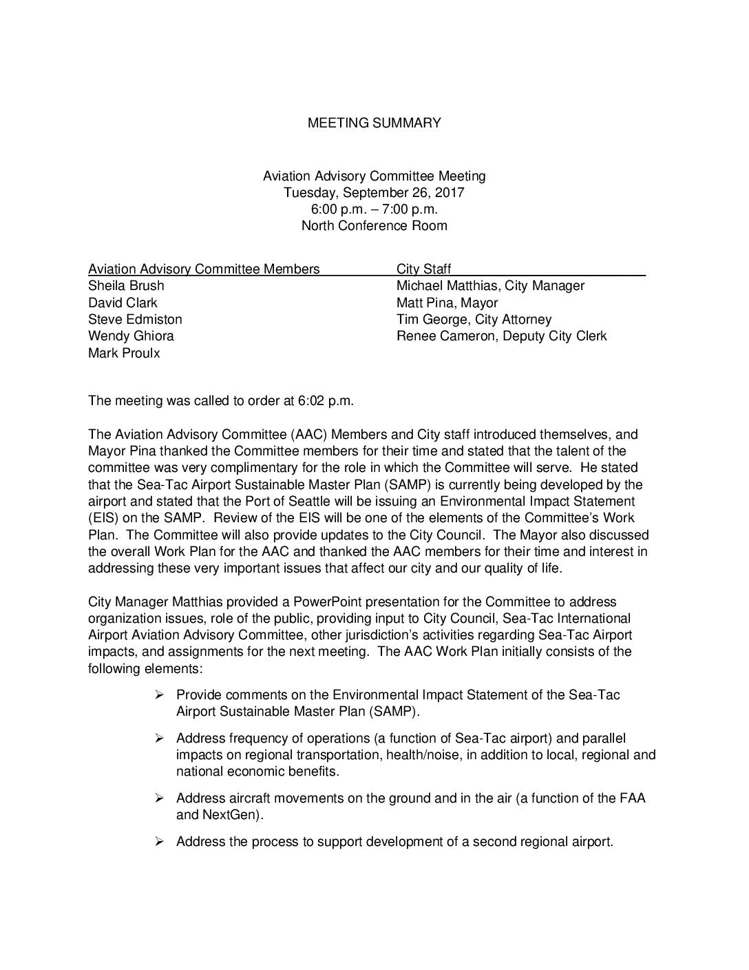
Aviation Advisory Committee Meeting Minutes, September 26, 2017
The Aviation Advisory Committee held its first meeting on September 26, 2017, to establish its work plan for addressing Sea-Tac Airport impacts on the surrounding community, including reviewing the airport's Sustainable Master Plan Environmental Impact Statement and examining noise, health, and transportation concerns. The committee agreed to hold open public meetings with a dedicated public comment period, and a budget was allocated to hire a consultant to analyze the airport's expansion plans. Committee member Edmiston was designated to report on the group's goals and progress at the October 12th City Council meeting. -
 2017-09-19
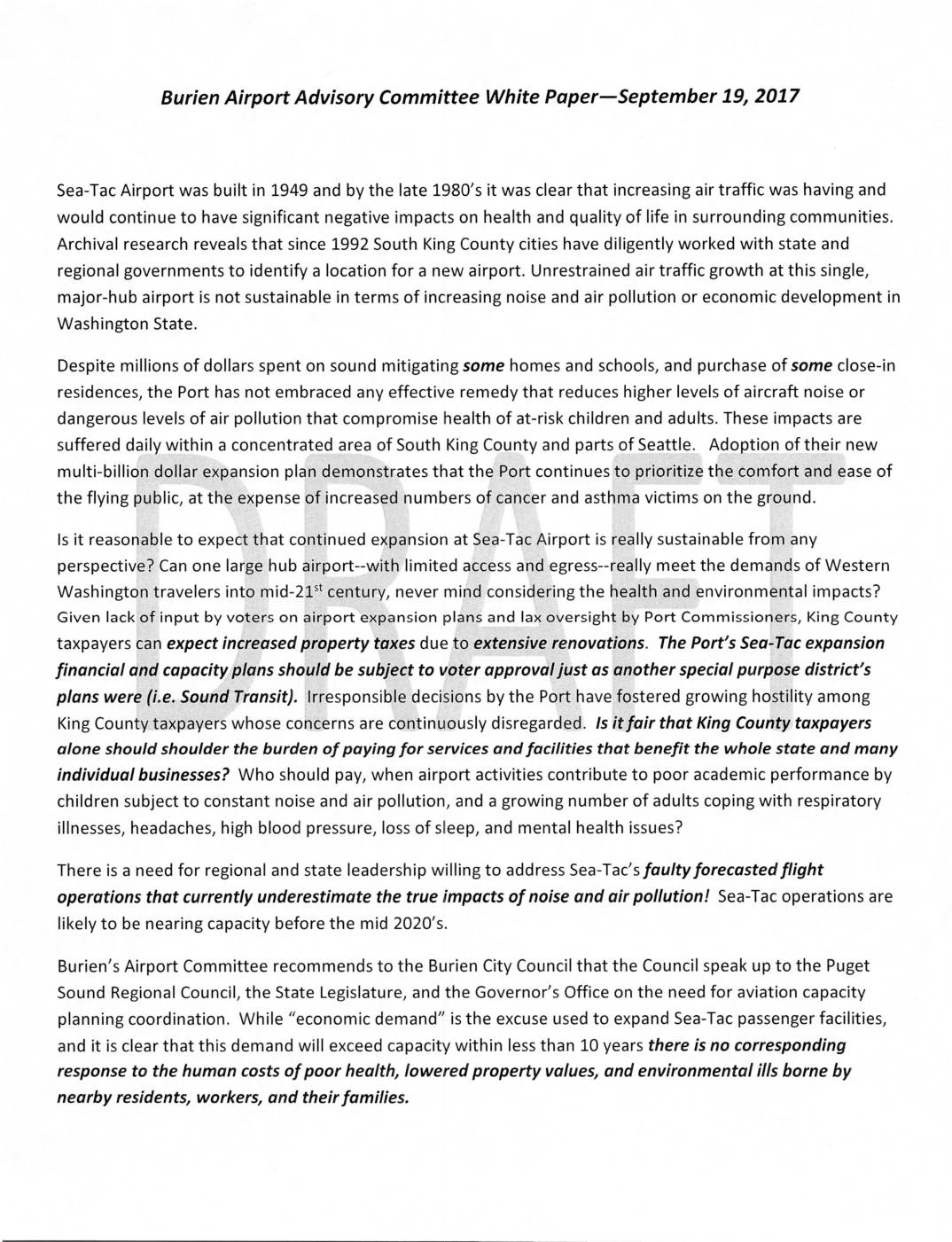
Burien Airport Advisory Committee white paper
A 2017 white paper from Burien's Airport Advisory Committee argues that unchecked expansion at Sea-Tac Airport is causing serious health and environmental harm—including noise pollution, air pollution, and related illnesses—for residents of South King County and parts of Seattle. The committee contends that the Port of Seattle has prioritized the convenience of air travelers over the well-being of nearby communities, while King County taxpayers bear the financial burden of an airport that benefits the entire state. The paper calls on the Burien City Council to urge regional and state leaders to coordinate aviation capacity planning and meaningfully address the human costs of continued airport growth.