TagKing County(422)
-
 2017-07-17
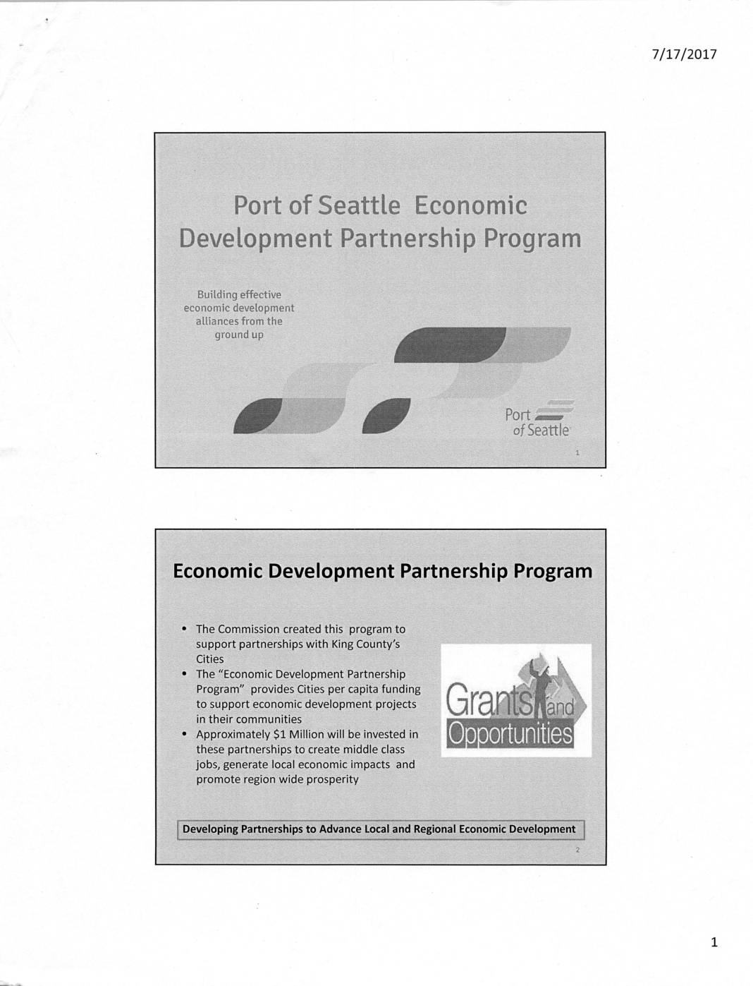
Port Of Seattle Economic Development Partnership Program
The Port of Seattle's Economic Development Partnership Program provides approximately $1 million in annual grant funding to the 38 cities in King County, distributed on a $1-per-capita basis (capped at $65,000, with a $5,000 minimum for the smallest cities). Cities can use the funds for eligible activities such as business recruitment, small business development, tourism, and downtown revitalization, but not for capital projects, and must provide a 50 percent local match. Cities may partner with local nonprofits or collaborate regionally to maximize the impact of their projects. -
 2017-06-01
2016 City Economic Development Partnership Program Final Report
In June 2016, the Port of Seattle Commission launched a grant program distributing funds to 38 King County cities to support local economic development across the region. Grants were awarded at $1 per capita, ranging from $5,000 to $65,000, and cities used the money for projects such as business assistance, marketing, tourism promotion, and planning studies. The program encouraged collaboration between cities and helped kick-start initiatives that had previously been beyond individual city budgets. -
 2015-04-01
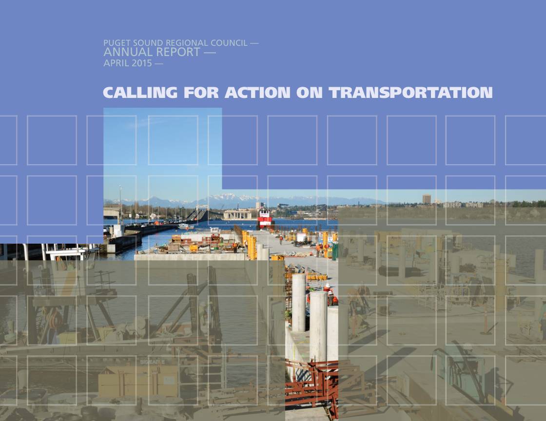
Puget Sound Regional Council Annual Report: Calling for Action on Transportation
The Puget Sound Regional Council (PSRC) 2015 Annual Report highlights regional transportation investments and infrastructure improvements in the greater Puget Sound area. A key focus is the opening of the new South Park Bridge on June 30, which restored a critical crossing over the Duwamish River, supported by more than $24 million in PSRC funding. The report calls for continued action on transportation to support the region's economic centers and approximately 80,000 jobs connected by the new infrastructure. -
 2014-06-01
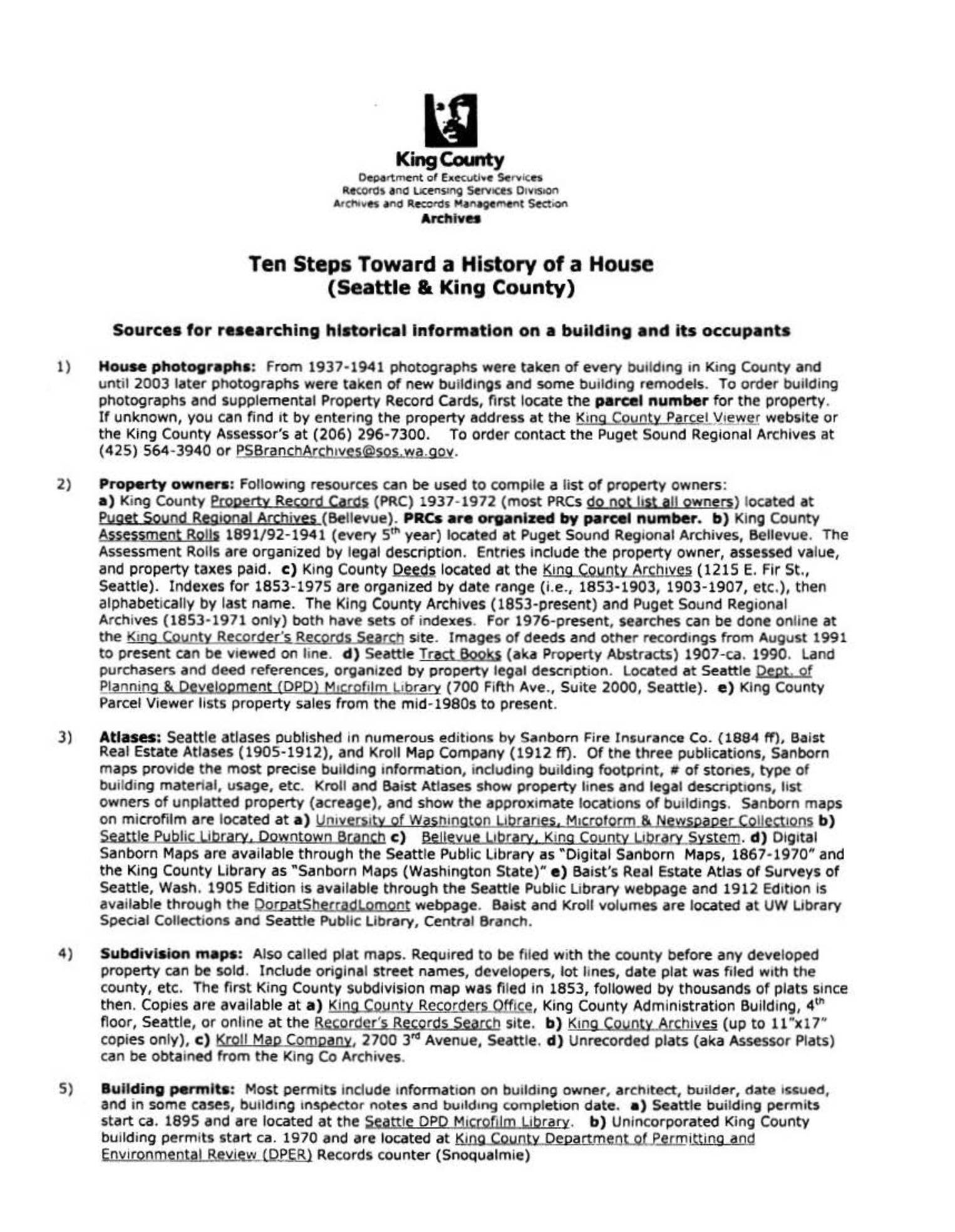
Ten Steps Toward a History of a House (Seattle & King County)
This King County Archives guide outlines ten steps for researching the history of a house in Seattle and King County, covering sources such as historical building photographs, property records, atlases, subdivision maps, building permits, census data, and city directories. Researchers can access materials through institutions like the Puget Sound Regional Archives, Seattle Public Library, and University of Washington Libraries, as well as various online databases. While the guide focuses on general property and occupant history, it provides a useful framework for tracing land use and development patterns relevant to regional planning and noise policy research. -
 2013-12-05
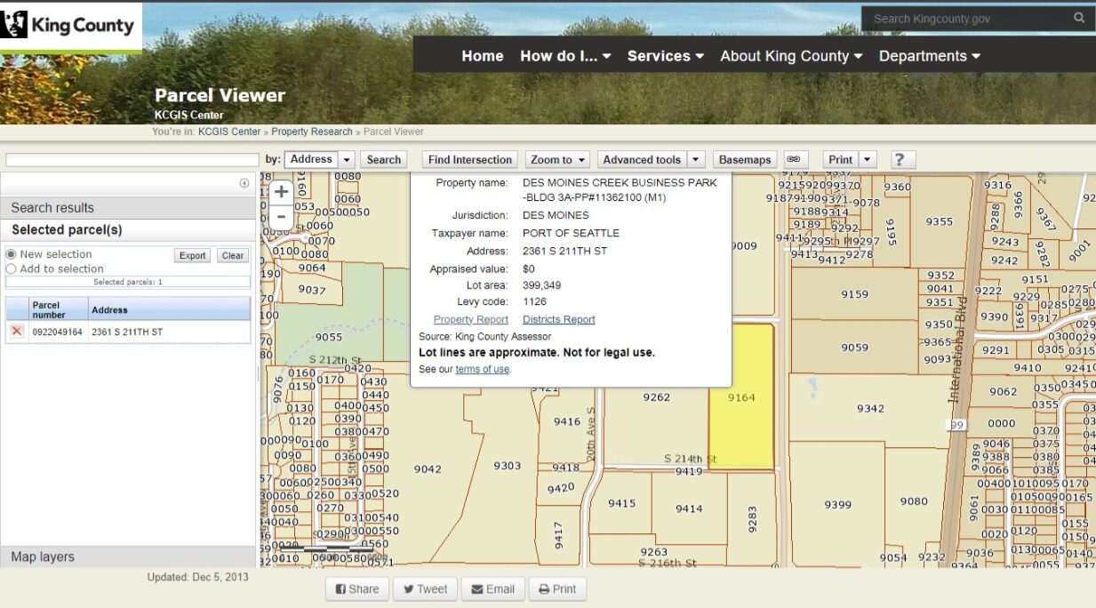
King County Parcel Viewer – Port Of Seattle Parcel at 2361 S 211th St, Des Moines (Dec 5, 2013)
King County GIS Parcel Viewer screenshot showing parcel 0922049164 at 2361 S 211th Street in Des Moines, WA, owned by the Port of Seattle. The property is identified as Des Moines Creek Business Park – Bldg 3A (PP#11362100, M1), with a lot area of 399,349 square feet, appraised value of $0, and levy code 1126; data sourced from King County Assessor, updated December 5, 2013. -
 2013-12-05
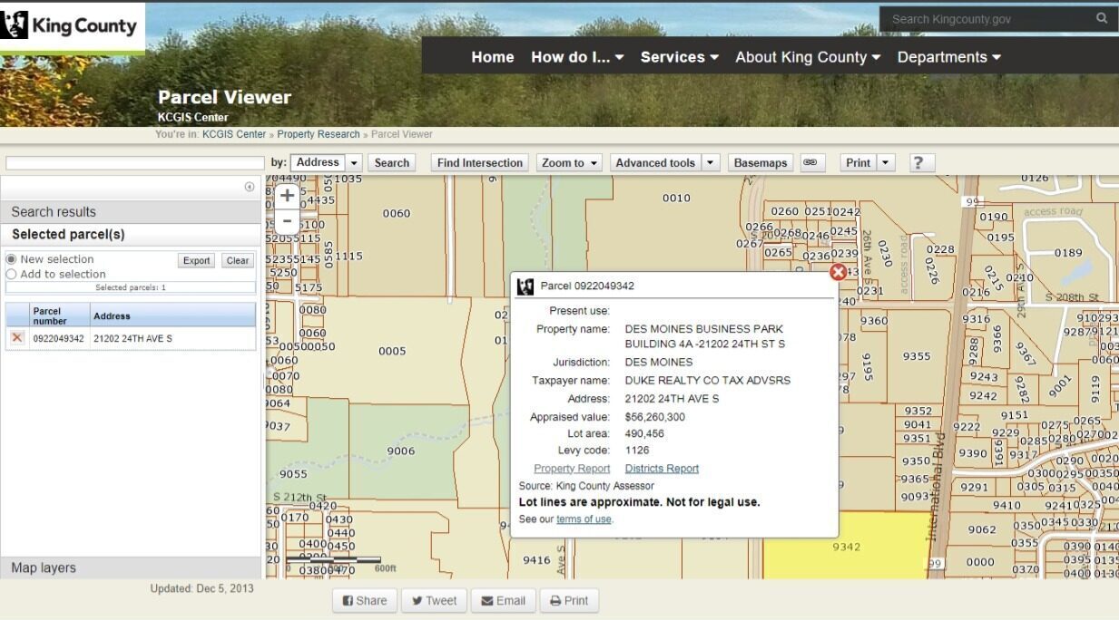
King County Parcel Viewer – Des Moines Business Park Parcel 0922049342
King County GIS Parcel Viewer screenshot dated December 5, 2013, showing parcel 0922049342 at 21202 24th Ave S, Des Moines, WA, identified as Des Moines Business Park Building 4A. The parcel, held by Duke Realty Co, has an appraised value of $56,260,300 and a lot area of 490,456 square feet, located within the Sea-Tac Airport vicinity under levy code 1126. -
 2013-12-05
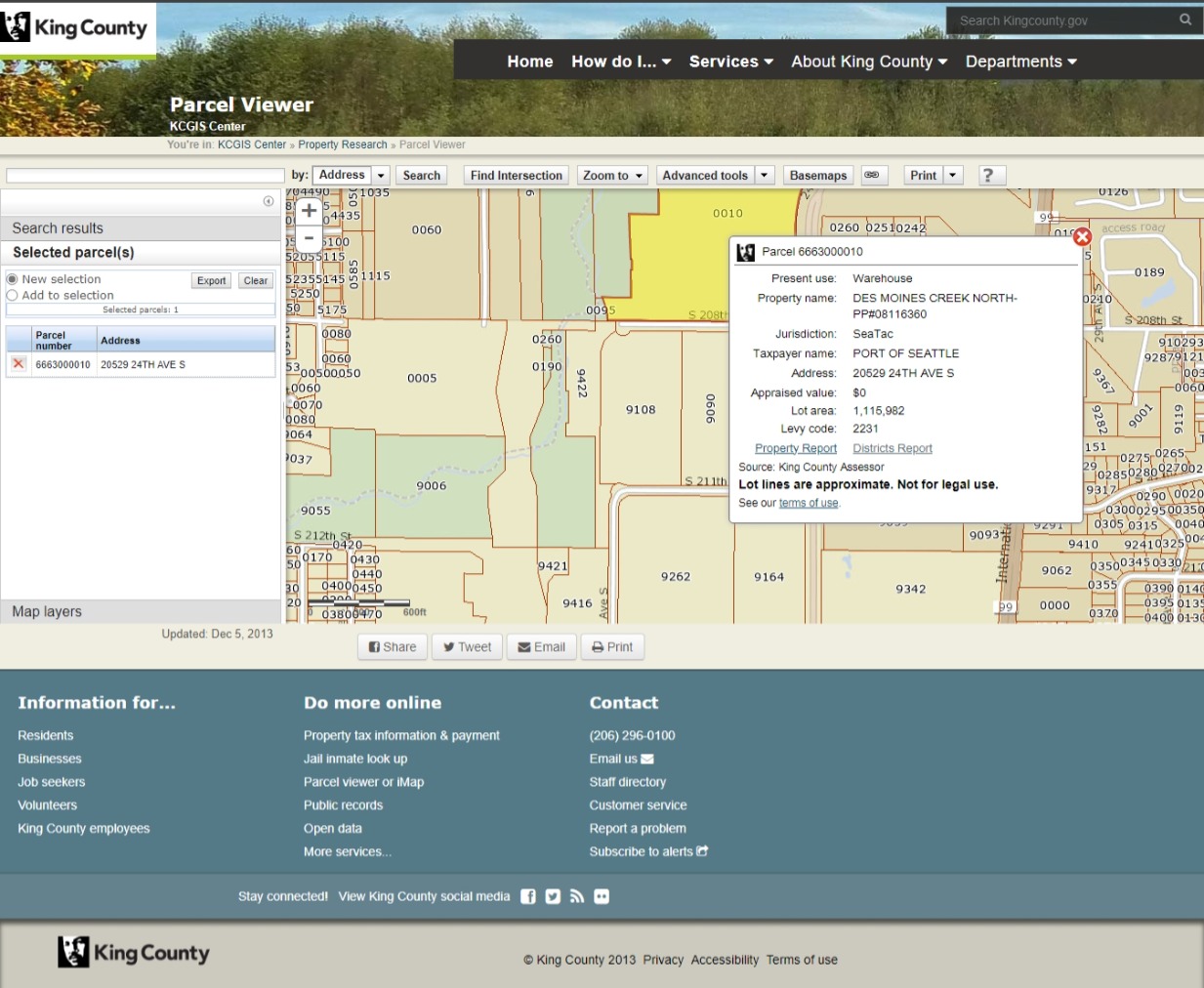
King County Parcel Viewer – Port Of Seattle Warehouse Parcel 6663000010, Sea-Tac (Dec 5, 2013)
King County KCGIS Parcel Viewer screenshot dated December 5, 2013, showing parcel 6663000010 at 20529 24th Ave S in SeaTac, owned by the Port of Seattle, classified as a warehouse property within the Des Moines Creek North subdivision (PP#08116360), with a lot area of 1,115,982 square feet and an appraised value of $0 under levy code 2231. -
2013-11-25
Lane v. Port of Seattle BNSF GNP RLY (2013)
Court of Appeals of Washington, Division 1. Arthur LANE; John Allerton, and Kenneth Gorohoff, Appellants, v. PORT OF SEATTLE; King County; BNSF Railway Company; GNP RLY, Inc.; and City of Redmond, Respondents. No. 69157–1–I. Decided: November 25, 2013 David Florian Jurca, Bradley H. Bagshaw, Helsell Fetterman LLP, Seattle, WA, for Appellants. Lori Marie Bemis, McGavick -
 2013-01-01
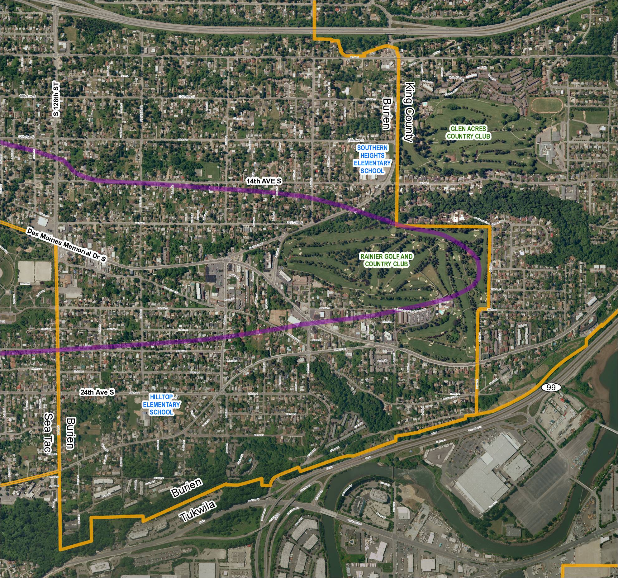
Grid 5: 2013 Baseline Map
This aerial map depicts the area surrounding Sea-Tac Airport, covering portions of Burien, Tukwila, and unincorporated King County in Washington State. It highlights key landmarks including Southern Heights Elementary School, Hilltop Elementary School, Rainier Golf and Country Club, and Glen Acres Country Club, along with major roadways such as SR 99, SR 599, and Des Moines Memorial Drive S. A purple corridor overlay traces what appears to be a noise-impact or flight-path study boundary through residential neighborhoods near the airport. -
 2013-01-01
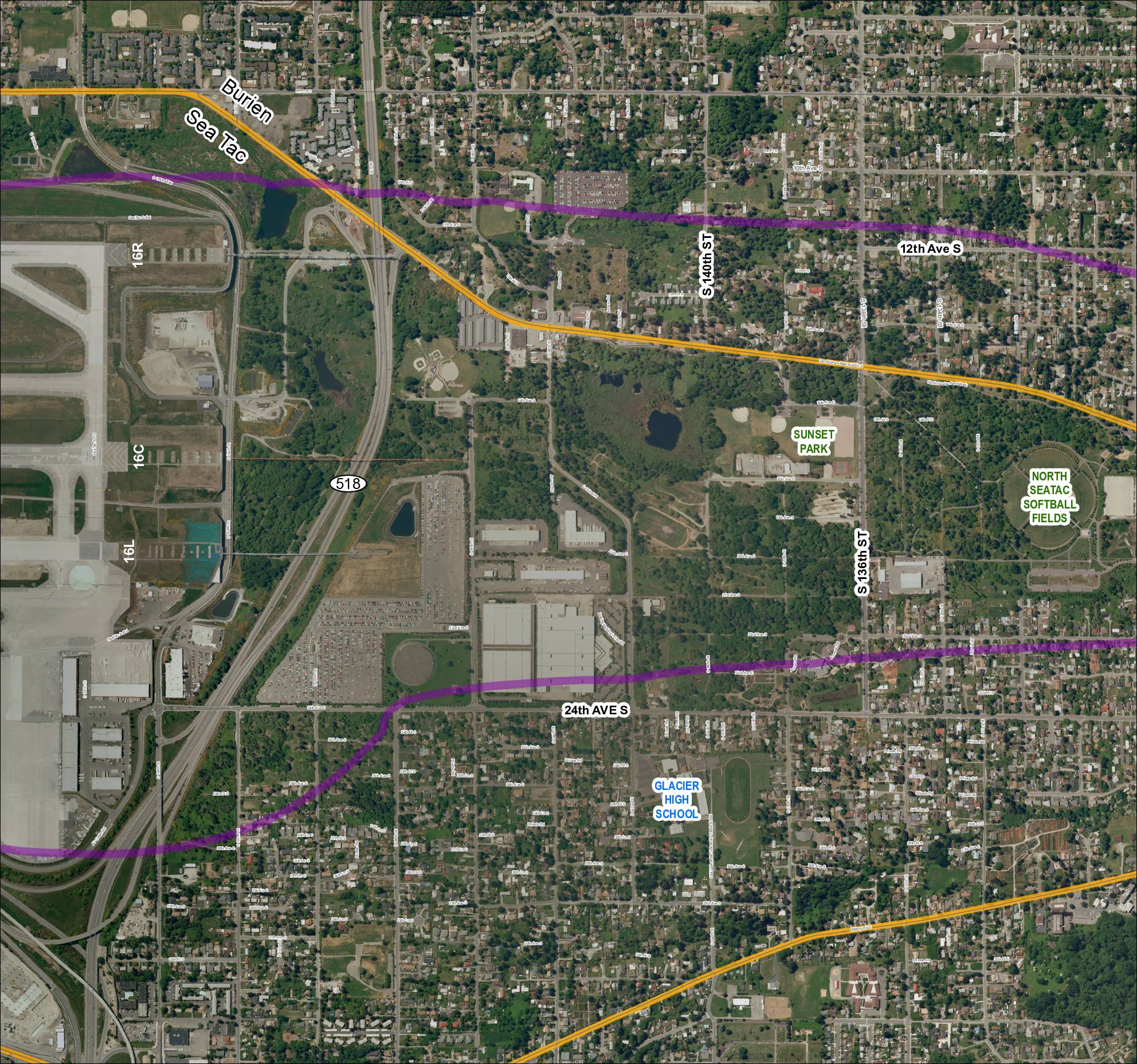
Grid 4: 2013 Baseline Map — Sea-Tac Airport Area
This aerial map shows the area surrounding Seattle-Tacoma International Airport, including the cities of Burien and SeaTac, with runway designations 16R, 16C, and 16L marked along the western edge. Two colored flight-path or noise-contour lines — one purple and one gold — are overlaid on the map, tracing routes that extend east through residential neighborhoods, parks such as Sunset Park and North SeaTac Softball Fields, and past landmarks including Glacier High School. The map appears to be part of a noise or flight-path policy study documenting how aircraft departure and arrival corridors affect surrounding communities along SR 518 and adjacent streets.