TagKing County(422)
-
 2007-11-02
Port to buy Eastside rail corridor | The Seattle Times
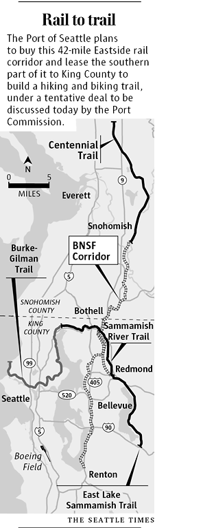
Port to buy Eastside rail corridor Nov 2, 2007 By Keith Ervin and Bob Young Seattle Times staff reporters In a tentative deal hailed as one of the most important land acquisitions in the region’s history, the Port of Seattle plans to buy a 42-mile Eastside rail corridor and lease the southern portion of it -
 2006-02-27
PSRC General chronology: Regional commercial airport capacity decisions in the Central Puget Sound Region
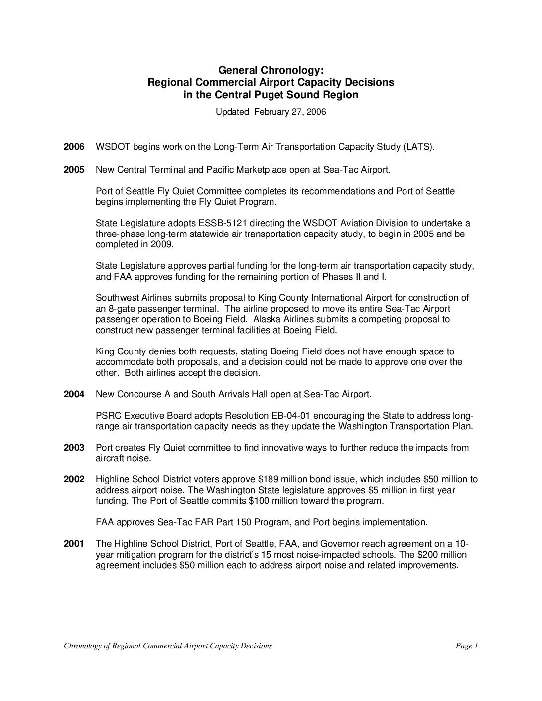
This document traces the history of commercial airport capacity and noise policy decisions in the Central Puget Sound region from 1973 to 2006, focusing on Sea-Tac Airport. It covers key milestones such as the Port of Seattle's various noise mitigation programs, agreements with the Highline School District, and debates over building a third runway and expanding Boeing Field. The chronology highlights the ongoing tension between meeting growing air travel demand and addressing the noise impacts on surrounding communities and schools. -
 2006-02-01
Miller and Walker Creeks Basin Plan appendices
The Miller and Walker Creeks Basin Plan Appendices, published in February 2006, is a regional watershed management document developed collaboratively by King County, the City of Burien, the City of SeaTac, the City of Normandy Park, the Port of Seattle, and the Washington State Department of Transportation. The plan addresses stormwater, habitat, and water quality issues within the Miller and Walker Creek drainage basins located near the Sea-Tac Airport area. It provides technical appendices to support basin-wide strategies for managing creek health and flood-related impacts in this urbanized watershed. -
 2006-01-01
Health of King County 2006
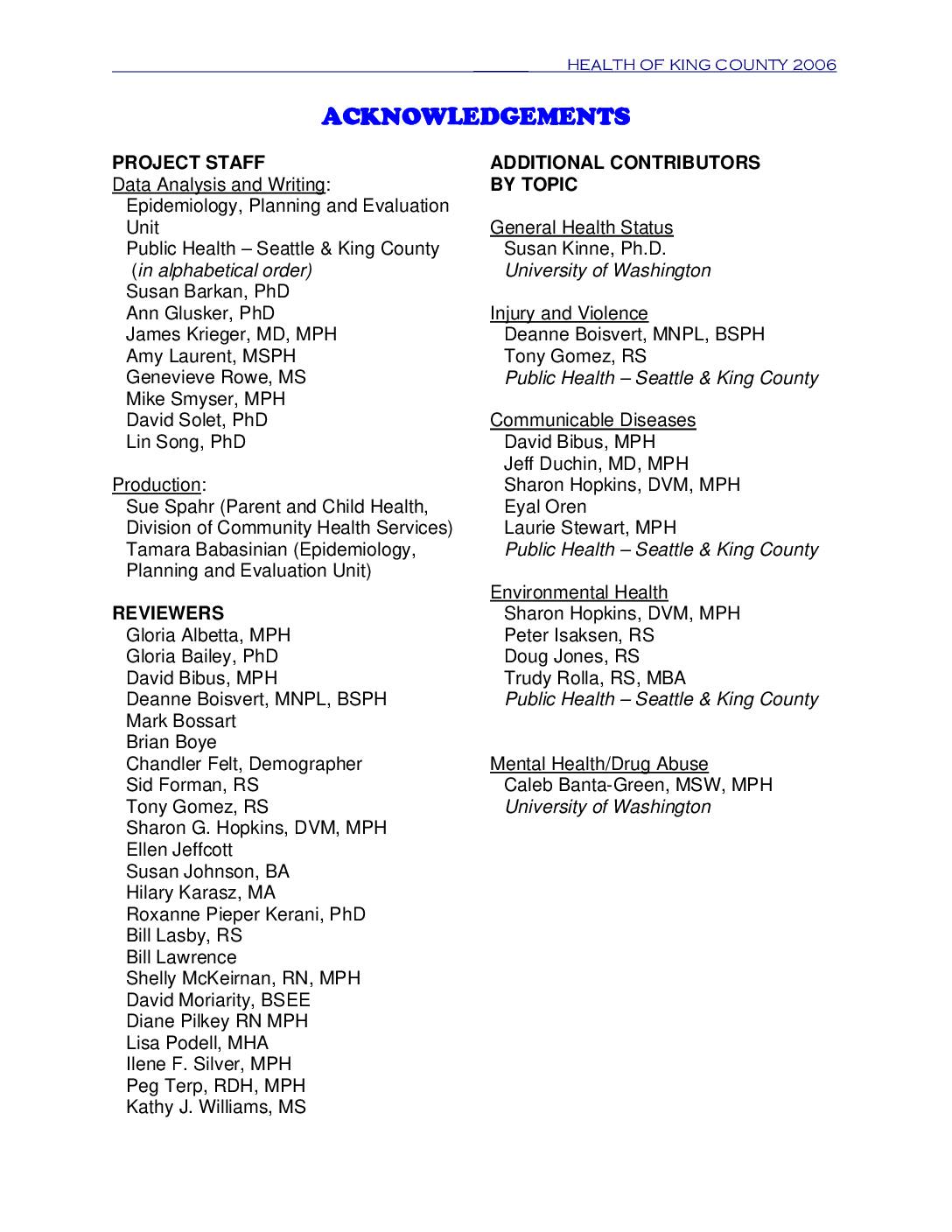
The Health of King County 2006 report provides a broad overview of the health status of King County, Washington residents, drawing on public health data from vital records, hospital discharges, and surveys. While King County residents generally enjoy better health than the rest of Washington State and the US, the report highlights growing concerns including rising rates of obesity, diabetes, and chronic diseases such as cancer, heart disease, and stroke. Chronic diseases accounted for 21,000 hospitalizations in 2004 at a cost of $531 million, with cancer, heart disease, and stroke alone responsible for more than half of all deaths in the county. -
 2005-10-11
Statement of King County Executive Ron Sims Regarding the Rejection of Proposals by Southwest Airlines and Alaska Airlines to Move Commercial Passenger Service to King County International Airport (KCIA)
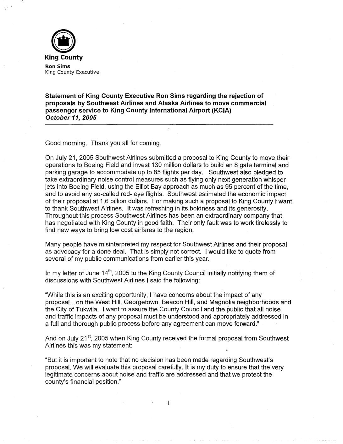
In October 2005, King County Executive Ron Sims rejected proposals from Southwest Airlines and Alaska Airlines to move commercial passenger service to Boeing Field (King County International Airport). Southwest had proposed an $130 million, 8-gate terminal for up to 85 flights per day, while Alaska Airlines followed with a $150 million proposal for up to 100 flights per day, but the competing proposals together would have required costly environmental review, significant public funding, and were projected to cause major noise and traffic impacts on surrounding neighborhoods. Sims concluded that while either proposal alone might have been feasible, accommodating both was impossible under his criteria of no taxpayer subsidies and no significant noise or traffic harm to communities. -
 2005-10-11
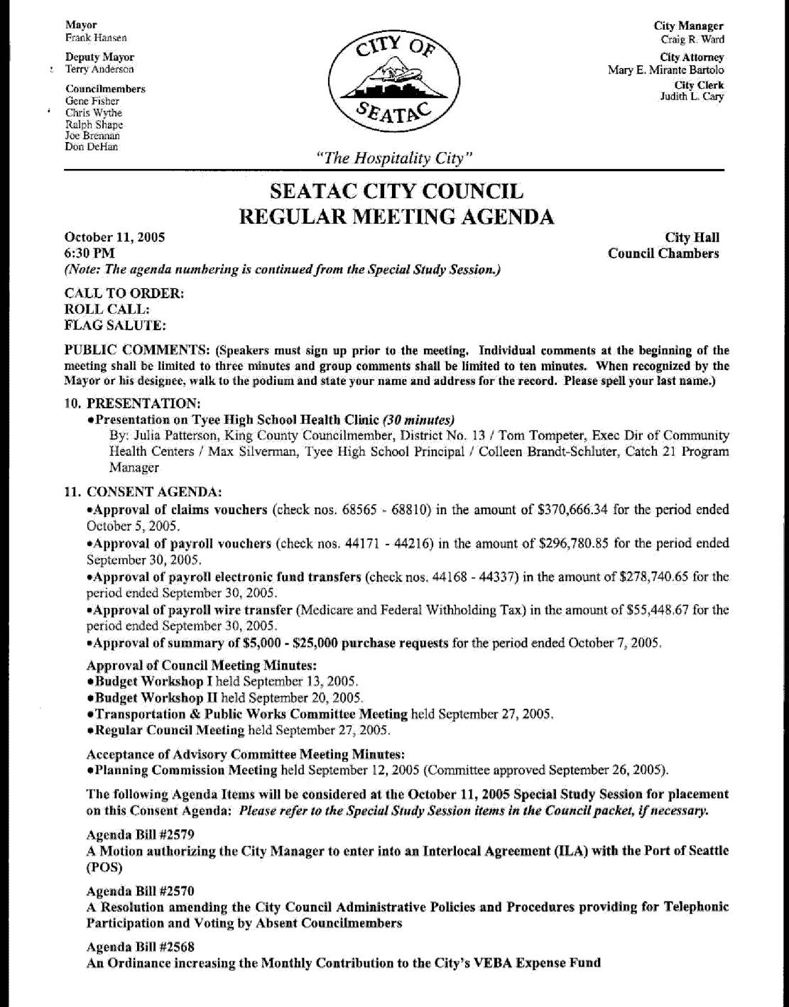
SeaTac City Council regular meeting agenda and minutes, October 11, 2005
This document contains the agenda and minutes from the SeaTac City Council Regular Meeting held on October 11, 2005, covering routine municipal business such as approval of financial vouchers, council meeting minutes, and several interlocal agreements. A notable agenda item was a presentation by King County Councilmember Julia Patterson and community partners requesting the City of SeaTac invest matching funds in a proposed school-linked health clinic at Tyee High School. Note that this document does not address SeaTac Airport noise policy; it focuses on general city governance and community health initiatives. -
 2005-01-15
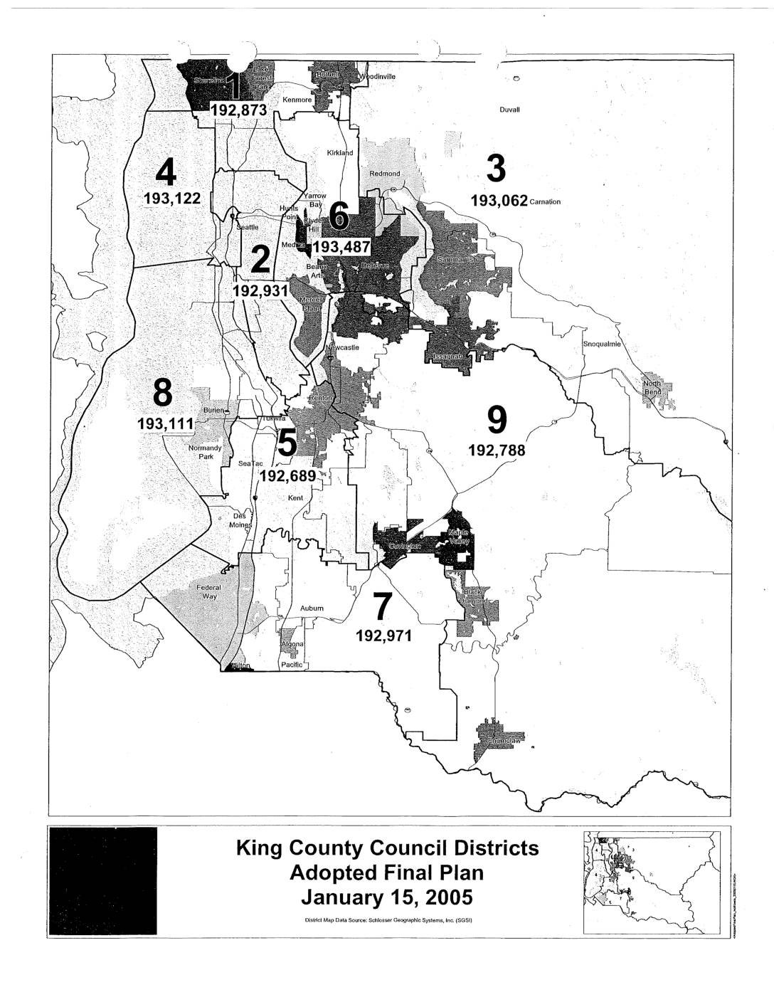
King County Council Districts Adopted Final Plan
This document presents the King County Council Districts Adopted Final Plan, dated January 15, 2005, showing the boundaries and population figures for all nine council districts in King County, Washington. The map, sourced from Schlosser Geographic Systems, Inc. (SGSI), depicts districts covering communities from Woodinville and Carnation in the north to Auburn and Pacific in the south, including areas around Sea-Tac Airport in District 5. Population counts across the nine districts range from approximately 192,689 to 193,487 residents each. -
 2004-04-19
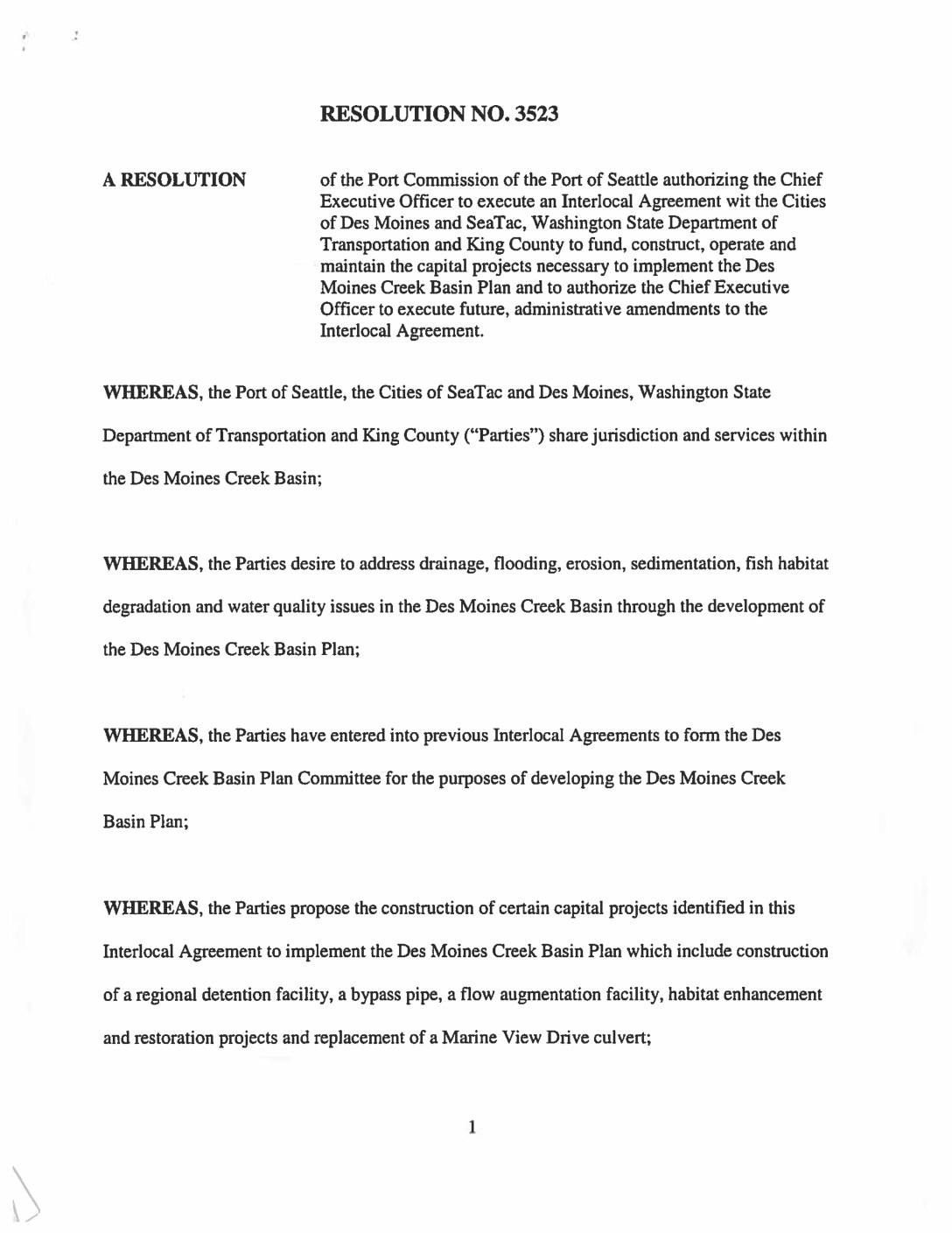
Resolution No. 3523 – Des Moines Creek Basin Plan Interlocal Agreement V2
A Port of Seattle resolution authorizing the Chief Executive Officer to execute version two of an Interlocal Agreement with the Cities of Des Moines and SeaTac, Washington State Department of Transportation and King County to fund, construct, operate and maintain capital projects necessary to implement the Des Moines Creek Basin Plan. The projects include construction -
 2004-03-18
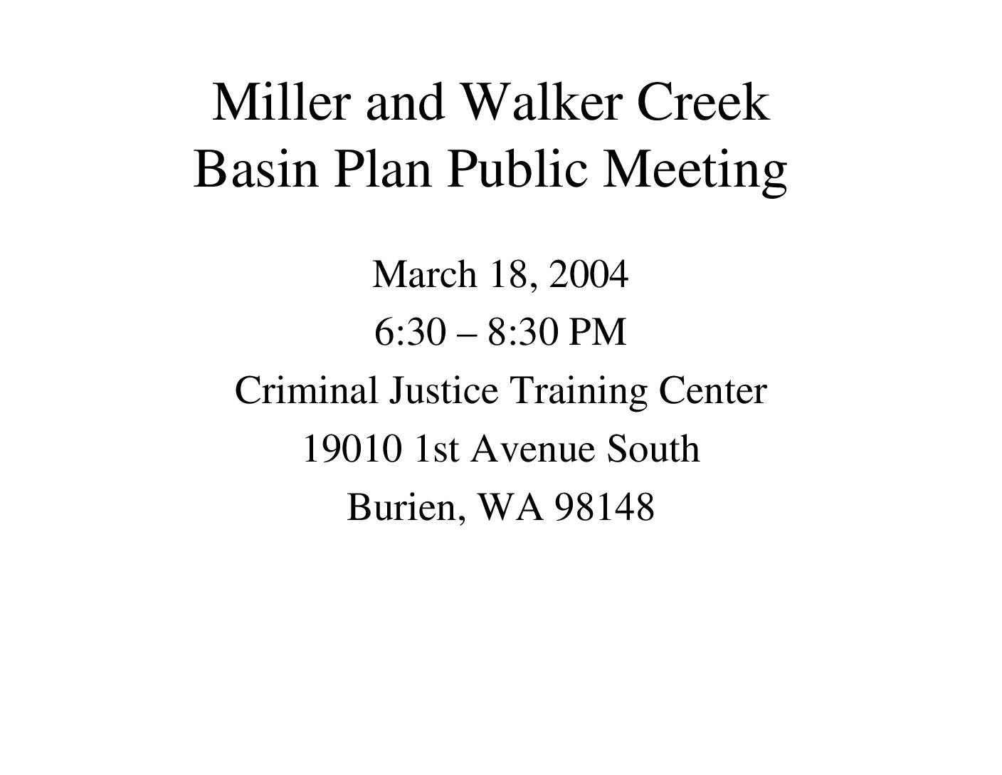
Miller and Walker Creek Basin Plan public meeting
A public meeting for the Miller and Walker Creek Basin Plan was held on March 18, 2004, at the Criminal Justice Training Center in Burien, Washington, running from 6:30 to 8:30 PM. The meeting included a presentation and a question-and-answer session, covering stormwater and drainage planning for the Miller and Walker Creek watersheds near Sea-Tac Airport. The project was managed by a multi-agency team representing the City of Burien, City of Normandy Park, City of SeaTac, King County, Port of Seattle, and WSDOT. -
 2004-03-16
Report and decision for shoreline conditional use permit and shoreline substantial development permit
This 2004 King County decision concerns a permit application by Glacier Northwest (Northwest Aggregates) to mine and export sand and gravel from Maury Island and replace an aging barge-loading dock on Puget Sound. The project proposed replacing 228 old creosote timber piles with 62–82 steel piles, extending the dock further into the water to protect nearby eelgrass beds, and enclosing the conveyor in a steel pipe to reduce spillage and noise. Note: this document relates to a Maury Island mining and shoreline development project and does not contain information about Sea-Tac Airport noise policy.