TagSea-Tac Airport(1855)
-
 2000-08-01
EXH AR045494: Wildlife Hazard Management Plan — Sea-Tac Airport
Wildlife Hazard Management Plan (WHMP) for Seattle-Tacoma International Airport (SEA), developed by Port Of Seattle in cooperation with USDA Animal and Plant Health Inspection Service (APHIS) Wildlife Services, Olympia, WA, August 2000, AR 045494. Covers habitat management (grass, wetlands, water, vegetation, structure), wildlife control procedures (bird and mammal control, wildlife patrol), laws and regulations (Washington -
 2000-07-30
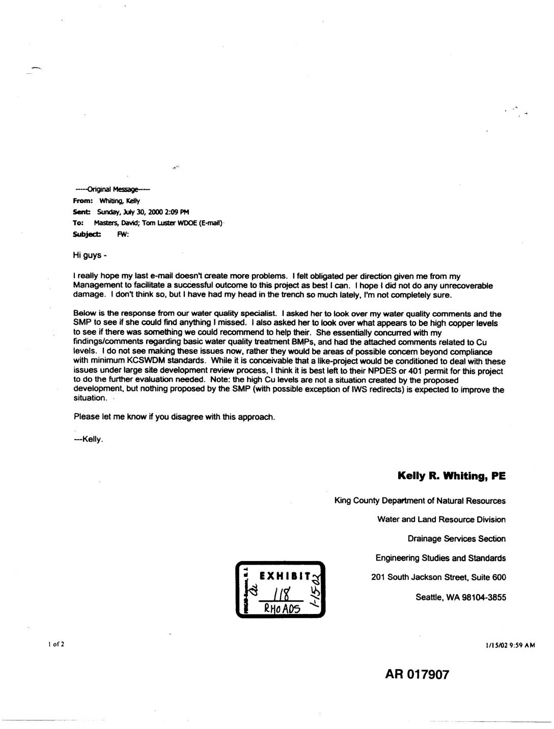
EXH AR017907: King County Drainage Services Email Chain on Copper Levels in STIA Runway Runoff and Water Quality BMPs
Email chain dated July 30, 2000 from Kelly R. Whiting, PE, King County Department of Natural Resources, Water and Land Resource Division, Drainage Services Section, to David Masters and Tom Luster (WDOE), forwarding water quality specialist Kate Rhoads’ notes on copper (Cu) levels in Seattle-Tacoma International Airport (STIA) runway stormwater runoff. Whiting discusses KCSWDM (King -
 2000-07-28
EXH AR017905: Email and Notes on Copper Levels in POS Runway Runoff
Email from Kate Rhoads to Kelly Whiting dated July 28, 2000, with attached notes (POS-Cu.doc) on copper levels in Sea-Tac Airport (STIA/POS) runway stormwater runoff and the need for further treatment. Notes discuss total recoverable (TR) copper concentrations (median 37 ug/l) from SEATAC runways versus the acute toxicity standard of 15 ug/l at hardness 100, -
 2000-07-25
EXH AR020963: Sea-Tac Groundwater Study Flat File Format Ref Data — Associated Earth Sciences Inc
This document contains reference data for the Seatac Groundwater Study, compiled by Associated Earth Sciences, Inc. The dataset, totaling 10.4 MB across 17 files, includes flat-file format tables covering bore holes, water levels, geology, hydraulic parameters, and well segments related to groundwater conditions in the Sea-Tac area. The materials were submitted as a legal exhibit and are part of the broader environmental record associated with Sea-Tac Airport. -
2000-07-24
Airport-expansion official jumps to other side
By George Erb Jul 23, 2000 Barbara Hinkle’s new job is the talk of five suburban cities in South King County. Hinkle was a senior environmental program manager at the Port of Seattle, where she spent 10 years overseeing environmental studies and permit applications for building a third runway at Seattle-Tacoma International Airport. But in early -
 2000-06-21
EXH AR023949: Hydrogeologic Study — IWS Plant and Lagoons, STIA
This 2000 hydrogeologic study, prepared by Associated Earth Sciences, Inc. for the Port of Seattle, examines groundwater conditions beneath the Industrial Waste System (IWS) plant and lagoons at Seattle-Tacoma International Airport. The report assesses soil geology, groundwater flow direction, and water quality — including levels of volatile organic compounds, petroleum hydrocarbons, and ethylene glycol — near three wastewater lagoons on airport property. It concludes with findings and recommendations related to potential contaminant releases and ongoing groundwater monitoring needs. -
 2000-06-19
EXH AR045023: Sea-Tac Runway Fill Hydrologic Studies Report
Sea-Tac Runway Fill Hydrologic Studies Report (AR 045023, project JE9907) prepared by Pacific Groundwater Group, Ecology and Environment, and Earth Tech Inc. for Washington State Department of Ecology Northwest Regional Office, dated June 19, 2000. Report covers hydrologic and hydrogeologic characterization of the Sea-Tac Airport third runway embankment fill area, including Miller Creek and Walker -
 2000-06-16
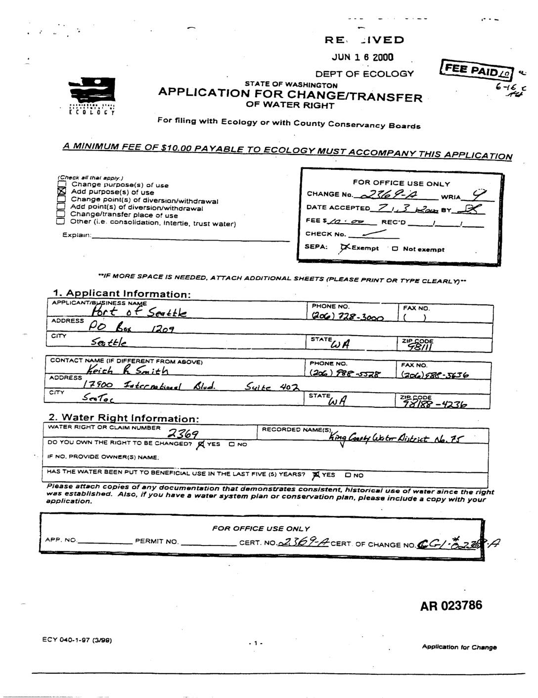
EXH AR023786: Application Change/Transfer Water Right — Tyee Valley Golf Course Well
The Port of Seattle filed an Application for Change/Transfer of Water Right with the Washington State Department of Ecology in June 2000, seeking to add flow augmentation for Des Moines Creek as a purpose of use to an existing well water right (No. 2369) originally used for domestic supply, golf course irrigation, and related uses at Tyee Valley Golf Course in SeaTac. The proposed change would extend the water right beyond 2000 to support creek flow augmentation alongside continued domestic supply and golf course irrigation, covering the Des Moines Creek corridor from the airport property to the creek's mouth at Puget Sound. This application reflects the Port's efforts to manage water resources in connection with environmental and operational responsibilities related to Sea-Tac Airport. -
 2000-06-15
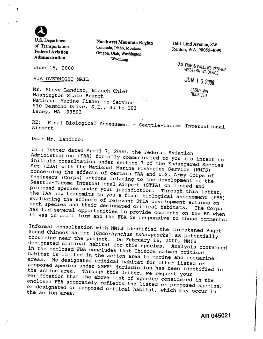
EXH AR045021: FAA Letter to NMFS Transmitting Final Biological Assessment for Seattle-Tacoma International Airport
Letter dated June 15, 2000 from Lowell H. Johnson, Manager of FAA Northwest Mountain Region Airports Division, to Steve Landino, Branch Chief of the Washington State Branch of the National Marine Fisheries Service (NMFS), transmitting the Final Biological Assessment (FBA) for Seattle-Tacoma International Airport (STIA) development actions under ESA section 7 consultation. The FBA evaluates -
 2000-06-12
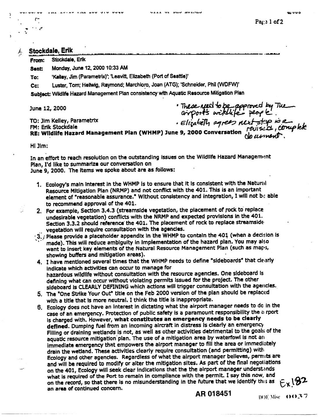
Exhibit 182: Wildlife Hazard Management Plan Consistency with Aquatic Resource Mitigation Plan — Email from Erik Stockdale, Ecology
Email dated June 12, 2000 from Erik Stockdale (Wetlands Specialist, Washington State Department of Ecology) to Jim Kelley (Parametrix) and Elizabeth Leavitt (Port of Seattle), summarizing a June 9, 2000 conversation regarding the Wildlife Hazard Management Plan (WHMP) and its consistency with the Natural Resource Mitigation Plan (NRMP) and 401 water quality certification. Stockdale outlines