TagSea-Tac Airport(1855)
-
 2000-09-28
EXH AR051605: Annual Stormwater Monitoring Report for Seattle-Tacoma International Airport, July 1, 1999 through June 30, 2000
Annual stormwater monitoring report prepared by Scott Tobiason, Environmental Management Specialist, Aviation Environmental Programs, Port Of Seattle, covering Sea-Tac Airport (STIA) for the period July 1, 1999 through June 30, 2000. Report covers STIA storm drainage subbasins, sampling locations, grab and composite sample results for total petroleum hydrocarbons (TPH), fecal coliforms, suspended solids, turbidity, biochemical -
 2000-09-11
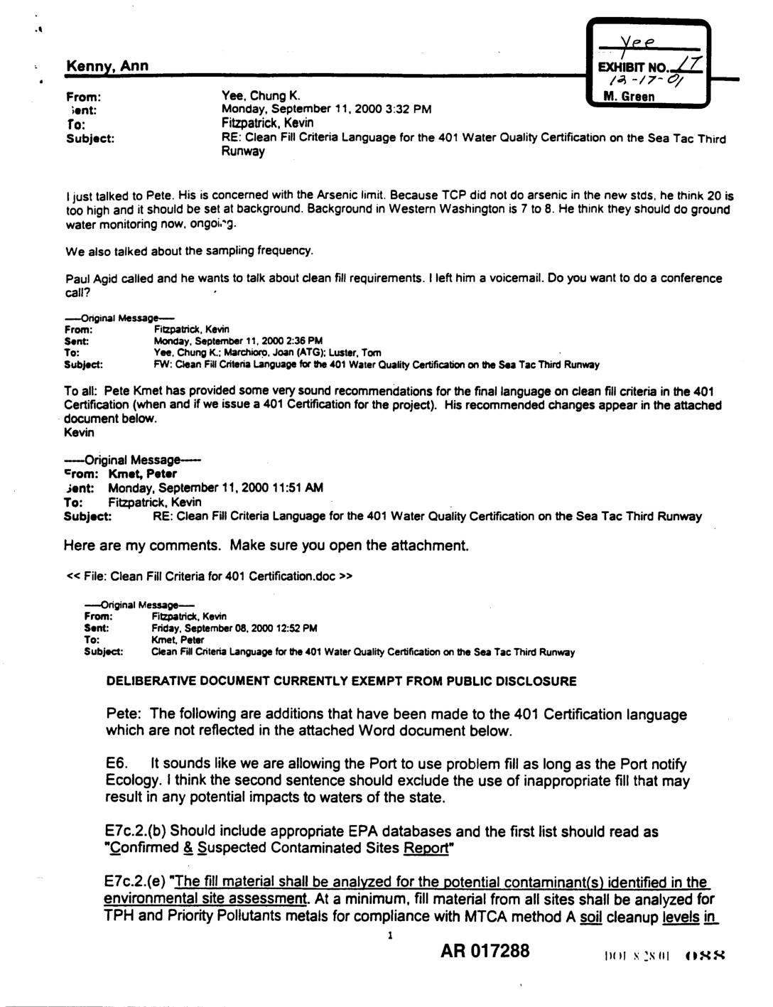
EXH AR017288: Email Chain Re: Clean Fill Criteria Language for the 401 Water Quality Certification on the Sea-Tac Third Runway
Email chain dated September 11, 2000 among Chung K. Yee, Kevin Fitzpatrick, Peter Kmet, Joan Marchioro (ATG), and Tom Luster regarding clean fill criteria language for the 401 Water Quality Certification on the Sea-Tac Third Runway. Key issues include arsenic limits (Pete Kmet argues 20 ppm is too high and should be set at Western -
 2000-09-07
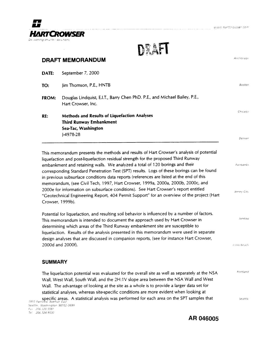
EXH AR046005: Draft Memorandum — Methods and Results of Liquefaction Analyses, Third Runway Embankment, Sea-Tac, Washington
Draft memorandum J-4978-28 from Hart Crowser (Douglas Lindquist, Barry Chen PhD P.E., Michael Bailey P.E.) to Jim Thomson P.E. at HNTB, dated September 7, 2000, presenting methods and results of liquefaction analyses for the proposed Third Runway embankment and retaining walls at Sea-Tac, Washington. Analyzed 120 borings with Standard Penetration Test (SPT) results from 112 -
 2000-09-05
EXH AR045805: Subsurface Conditions Data Report — Additional Field Explorations and Advanced Testing, Third Runway Embankment, Sea-Tac International Airport
Draft subsurface conditions data report prepared by HartCrowser for HNTB regarding the Third Runway Embankment at Sea-Tac International Airport, project numbers J-4978-23, -26, -27, and -31. Covers additional field explorations and advanced geotechnical testing including auger borings, standard penetration tests (SPT), Shelby tubes, pocket penetrometer, test pits, piezocone penetrometer probes, cone penetration tests (CPT), and -
 2000-09-01
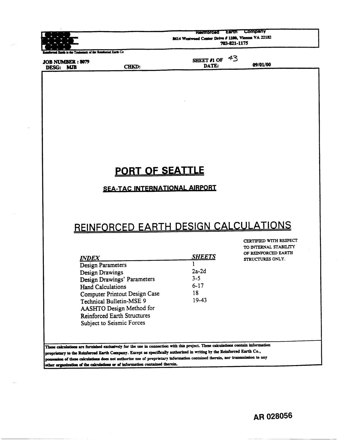
EXH AR028056: Port Of Seattle Sea-Tac International Airport Reinforced Earth Design Calculations
Reinforced Earth Company (job number 8079, designer MJB, dated 09/01/00) design calculations for Port Of Seattle Sea-Tac International Airport, West Wall 181+25. Document covers internal and external stability analysis for a Mechanically Stabilized Earth (MSE) retaining wall structure including design parameters (select backfill φ=37°, γ=0.140 kcf, Ka=0.24858; random backfill φ=35°, γ=0.140 kcf, Ka=0.27269; foundation φ=35°, -
 2000-08-21
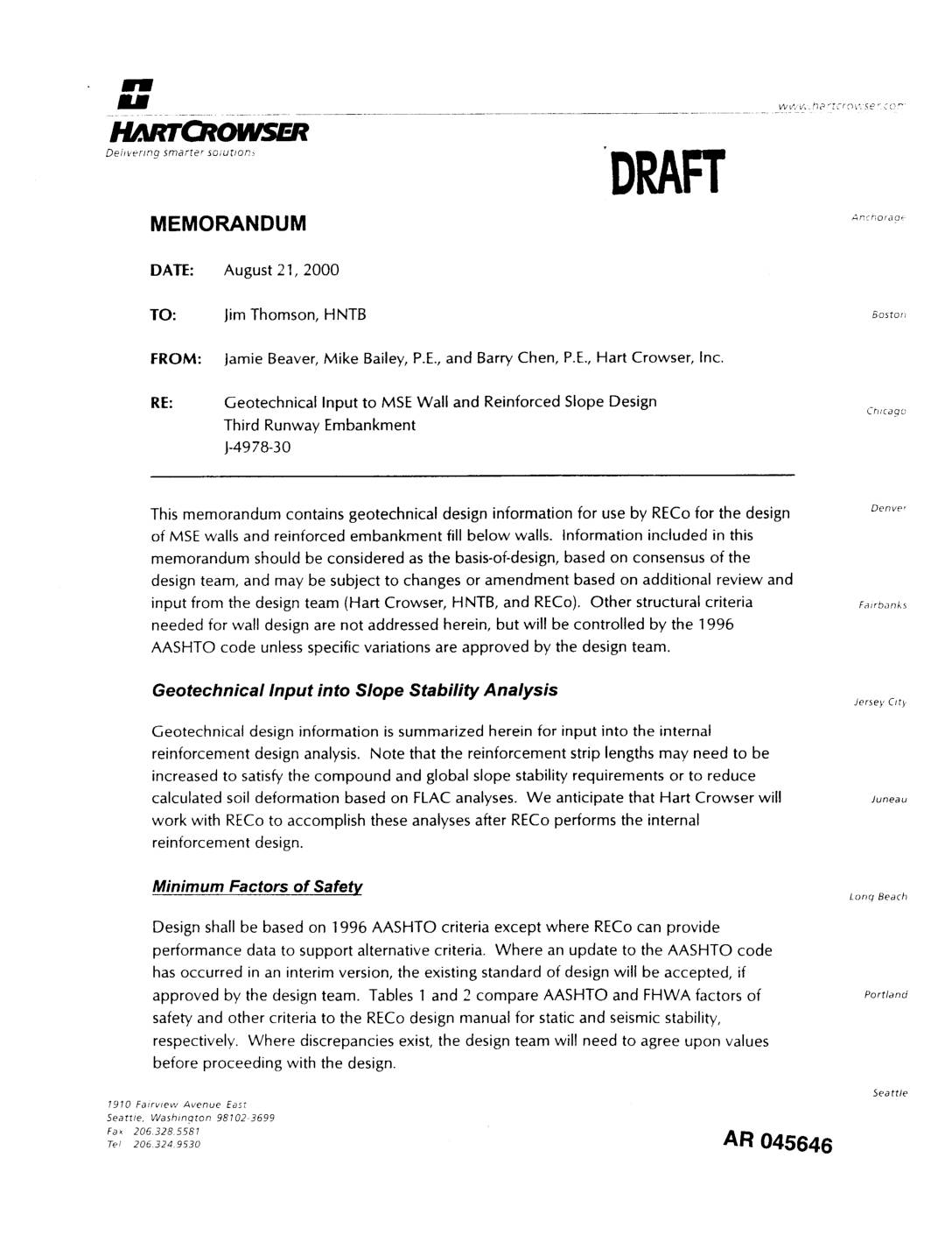
EXH AR045646: Geotechnical Input to MSE Wall and Reinforced Slope Design, Third Runway Embankment
Draft memorandum dated August 21, 2000 from Jamie Beaver, Mike Bailey P.E., and Barry Chen P.E. of Hart Crowser, Inc. to Jim Thomson at HNTB (project J-4978-30) providing geotechnical design information for RECo for MSE wall and reinforced embankment fill design for the Third Runway Embankment at Sea-Tac Airport. Document includes minimum factors of safety -
 2000-08-10
Exhibit 119: Email Chain from Kelly Whiting Re: Landscape Management Plans and Metal Rooftop Stormwater Treatment at STIA
Email chain dated August 10, 2000 from Kelly R. Whiting, PE (King County Department of Natural Resources, Water and Land Resource Division, Drainage Services Section) to Louise Kulzer and Kate Rhoads, cc David Masters, regarding Landscape Management Plans and the POS-SMP proposed approach for dealing with metal roofs at Seattle-Tacoma International Airport (STIA). Whiting raises -
 2000-08-09
EXH AR045601: Evaluation of Perched Zone Interception and Possible Impacts to Wetland Hydrology, Borrow Area 3, Sea-Tac Third Runway
Hart Crowser draft report prepared for Port of Seattle, August 9, 2000 (J-4978-13), evaluating perched groundwater zone interception and potential wetland hydrology impacts from Borrow Area 3 excavation for the Sea-Tac Third Runway project. Addresses Pacific Groundwater Group (PGG, 2000) concerns commissioned by Washington State Department of Ecology regarding impacts to Wetland 29. Includes ModFlow -
 2000-08-01
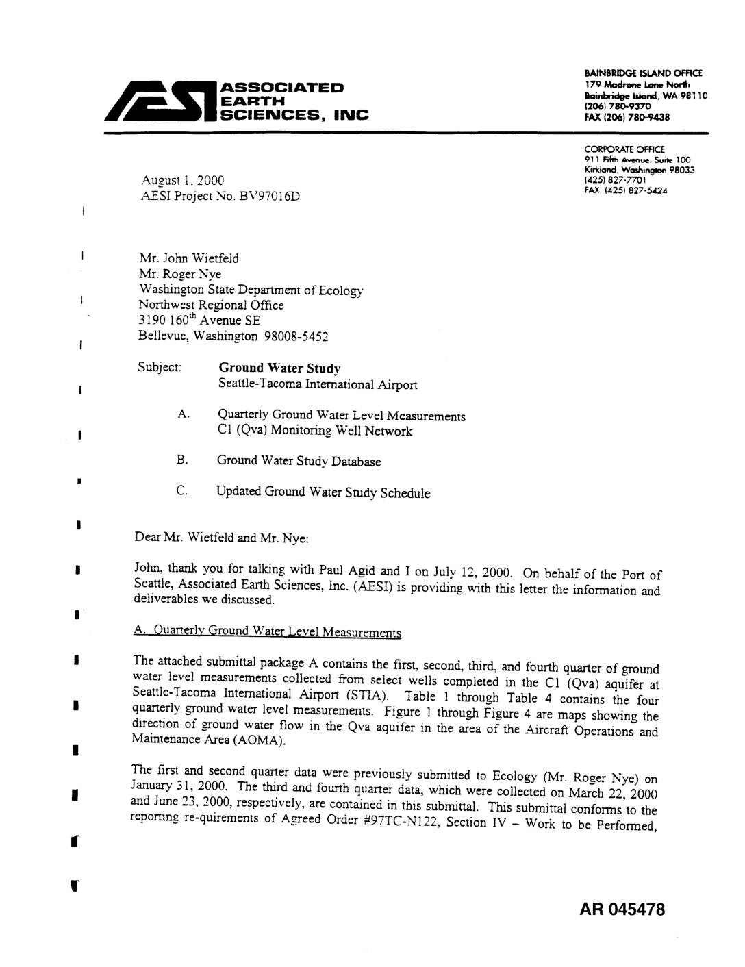
EXH AR045478: Ground Water Study — STIA Quarterly Ground Water Level Measurements, C1 (Qva) Monitoring Well Network
Letter dated August 1, 2000 from Associated Earth Sciences, Inc. (AESI), Project No. BV97016D, to Mr. John Wietfeld and Mr. Roger Nye of Washington State Department of Ecology Northwest Regional Office, on behalf of Port Of Seattle. Transmits quarterly ground water level measurements for Q1–Q4 from select wells completed in the C1 (Qva) advance outwash -
 2000-08-01
EXH AR025103: JARPA — Miller Creek Project, Master Plan Update Improvements, STIA
The Port of Seattle submitted a Joint Aquatic Resources Permit Application (JARPA) in August 2000 for the Miller Creek Project, part of Master Plan Update Improvements at Seattle-Tacoma International Airport. The application, prepared by Parametrix, Inc., seeks permits related to work affecting Miller Creek, Walker Creek, and associated wetlands in the City of SeaTac. The project required approvals from multiple agencies, including the Washington Department of Fish and Wildlife for a Hydraulic Projects Approval (HPA).