TagSea-Tac Airport(1855)
-
 2000-04-10
EXH AR044372: Seismic Basis of Design — Third Runway Project (Hart Crowser Draft Memo to HNTB)
Draft memorandum dated April 10, 2000 from Douglas Lindquist, Barry Chen P.E., and Mike Bailey P.E. of Hart Crowser, Inc. to Jim Thomson P.E. at HNTB regarding seismic basis of design for the Third Runway Project (J-4978-14) at Sea-Tac Airport for the Port of Seattle. Compares 475-year return period (0.36g peak acceleration, 10% probability of -
 2000-04-07
EXH AR044380: Subsurface Conditions Data Report, South MSE Wall and Adjacent Embankment, Third Runway Project, Sea-Tac International Airport
Draft Subsurface Conditions Data Report prepared by Hart Crowser for Port Of Seattle and HNTB, project number J-4978-23, dated April 7, 2000. Covers geologic and subsurface soil conditions, hydrogeologic conditions, auger borings, Standard Penetration Test (SPT) procedures, test pit excavations, and monitoring well installation for the South MSE (Mechanically Stabilized Earth) Wall and Adjacent Embankment -
 2000-04-05
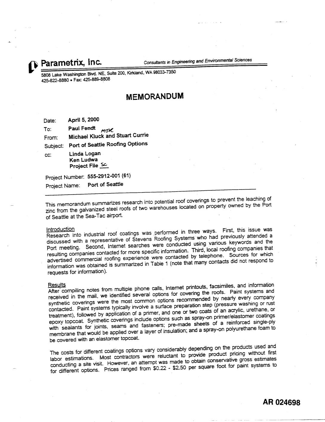
EXH AR024698: Memo — Roofing Options for Zinc Leaching Prevention
A April 2000 memo from engineering firm Parametrix, Inc. evaluates roofing options to prevent zinc leaching from galvanized steel roofs on two Port of Seattle warehouses at Sea-Tac Airport. The study compared paint systems (ranging from $21,000–$240,000 for both buildings) against synthetic coverings such as spray-on elastomers and single-ply membranes ($60,000–$330,000), finding that painting is cheaper but requires more frequent maintenance while synthetic coverings last longer but cost more upfront. The memo recommends that any chosen material be evaluated to ensure it does not release metals or other pollutants into stormwater runoff. -
 2000-03-20
EXH AR044225: Draft Subsurface Conditions Data Report, North Safety Area, Third Runway Embankment, Sea-Tac Airport
Hart Crowser draft subsurface conditions data report (project J-4978-18) prepared for Port Of Seattle and HNTB, dated March 20, 2000, covering the North Safety Area Third Runway Embankment at Sea-Tac International Airport. Report includes generalized geologic description, subsurface soil conditions, hydrogeologic conditions, laboratory test results (consolidation, CU triaxial, UU triaxial, direct shear tests), hydraulic conductivity -
 2000-02-01
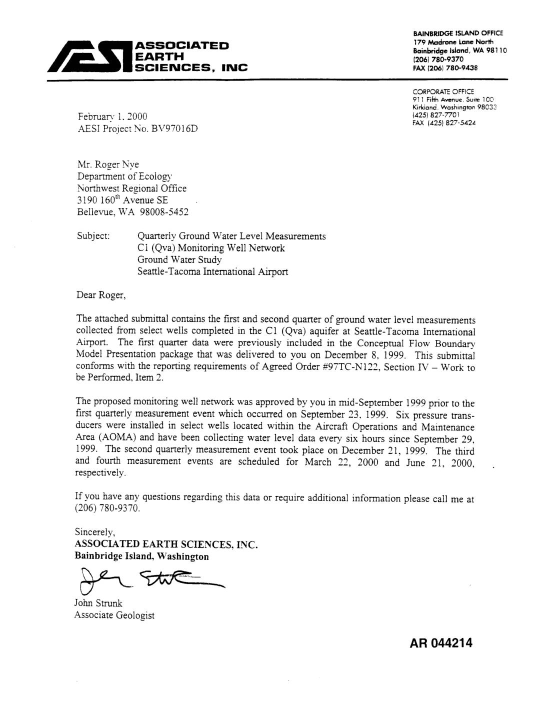
EXH AR044214: Quarterly Ground Water Level Measurements, C1 (Qva) Monitoring Well Network, Ground Water Study, STIA
Letter dated February 1, 2000 from John Strunk, Associated Earth Sciences, Inc. (AESI Project No. BV97016D) to Roger Nye, Washington Department of Ecology Northwest Regional Office, submitting first and second quarter ground water level measurements from the C1 (Qva) aquifer monitoring well network at Seattle-Tacoma International Airport. Reports on six pressure transducers installed in the -
 2000-01-31
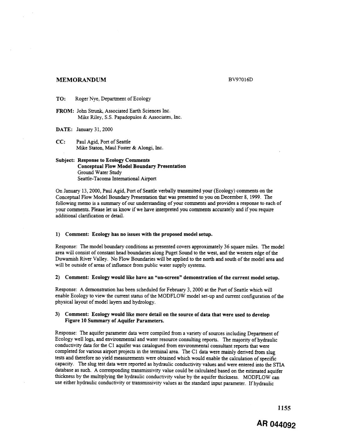
EXH AR044092: Memorandum — Response to Ecology Comments on Conceptual Flow Model Boundary Presentation, Ground Water Study, STIA
Memorandum BV97016D dated January 31, 2000, from John Strunk (Associated Earth Sciences Inc.) and Mike Riley (S.S. Papadopulos & Associates, Inc.) to Roger Nye, Department of Ecology, responding to nine Ecology comments on the Conceptual Flow Model Boundary Presentation for the Seattle-Tacoma International Airport ground water study. Topics addressed include MODFLOW model setup covering approximately -
 2000-01-28
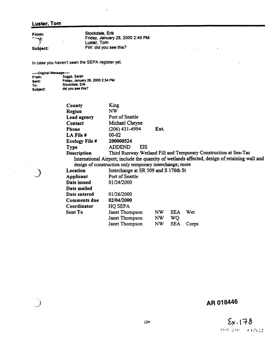
EXH AR018446: Forwarded Email re SEPA Register Entry — Third Runway Wetland Fill and Temporary Construction at Sea-Tac Airport
Internal forwarded email chain dated January 28, 2000, from Erik Stockdale to Tom Luster (copying Sarah Suggs original), forwarding a SEPA register entry (Ecology File# 200000524, LA File# 00-02) for an Addendum EIS issued by the Port of Seattle as lead agency. The addendum EIS covers Third Runway Wetland Fill and Temporary Construction at Sea-Tac -
 2000-01-24
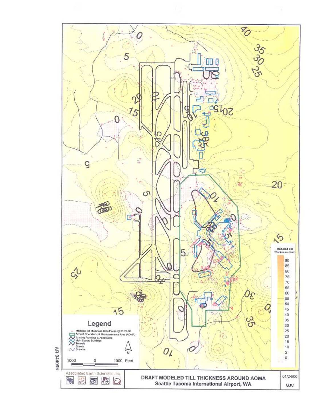
EXH AR044096: Draft Modeled Till Thickness Around AOMA, Sea-Tac Airport
Draft modeled till thickness map around the Aircraft Operations & Maintenance Area (AOMA) at Seattle-Tacoma International Airport, WA, prepared by Associated Earth Sciences, Inc. on 01/24/00. Contour map showing till thickness in feet (0–90 ft range) with data points from 01-24-00, depicting existing runways, main SeaTac buildings, tunnels, streets, and streams. Administrative Record document AR -
 2000-01-12
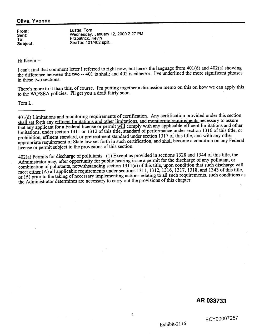
Exhibit 2116 AR033733: Email on Sea-Tac Clean Water Act Section 401/402 Split
Internal email from Tom Luster to Kevin Fitzpatrick dated January 12, 2000, discussing the legal distinction between Clean Water Act Section 401(d) and Section 402(a) as applied to Sea-Tac Airport water quality (WQ) and State Environmental Policy Act (SEA/SEPA) policies. Email quotes statutory language verbatim: 401(d) uses mandatory ‘shall’ language for effluent limitations and monitoring -
 1999-12-17
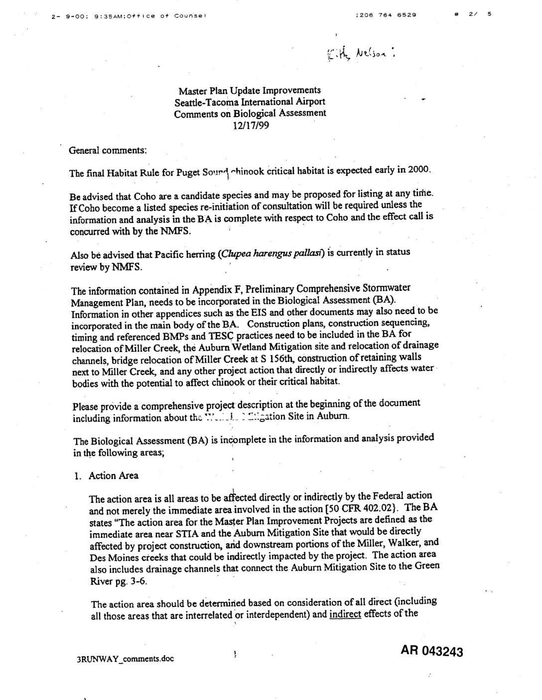
EXH AR043243: NMFS Comments on Biological Assessment for Sea-Tac Airport Master Plan Update Improvements
NMFS (National Marine Fisheries Service) Office of Counsel comments dated 12/17/99 on the Biological Assessment (BA) for Seattle-Tacoma International Airport Master Plan Update Improvements. AR 043243. Comments identify deficiencies in action area definition (50 CFR 402.02), matrix/checklist completeness, direct and indirect effects analysis, and cumulative effects regarding Puget Sound Chinook salmon critical habitat, Coho salmon,