TagSea-Tac Airport(1855)
-
 2000-10-20
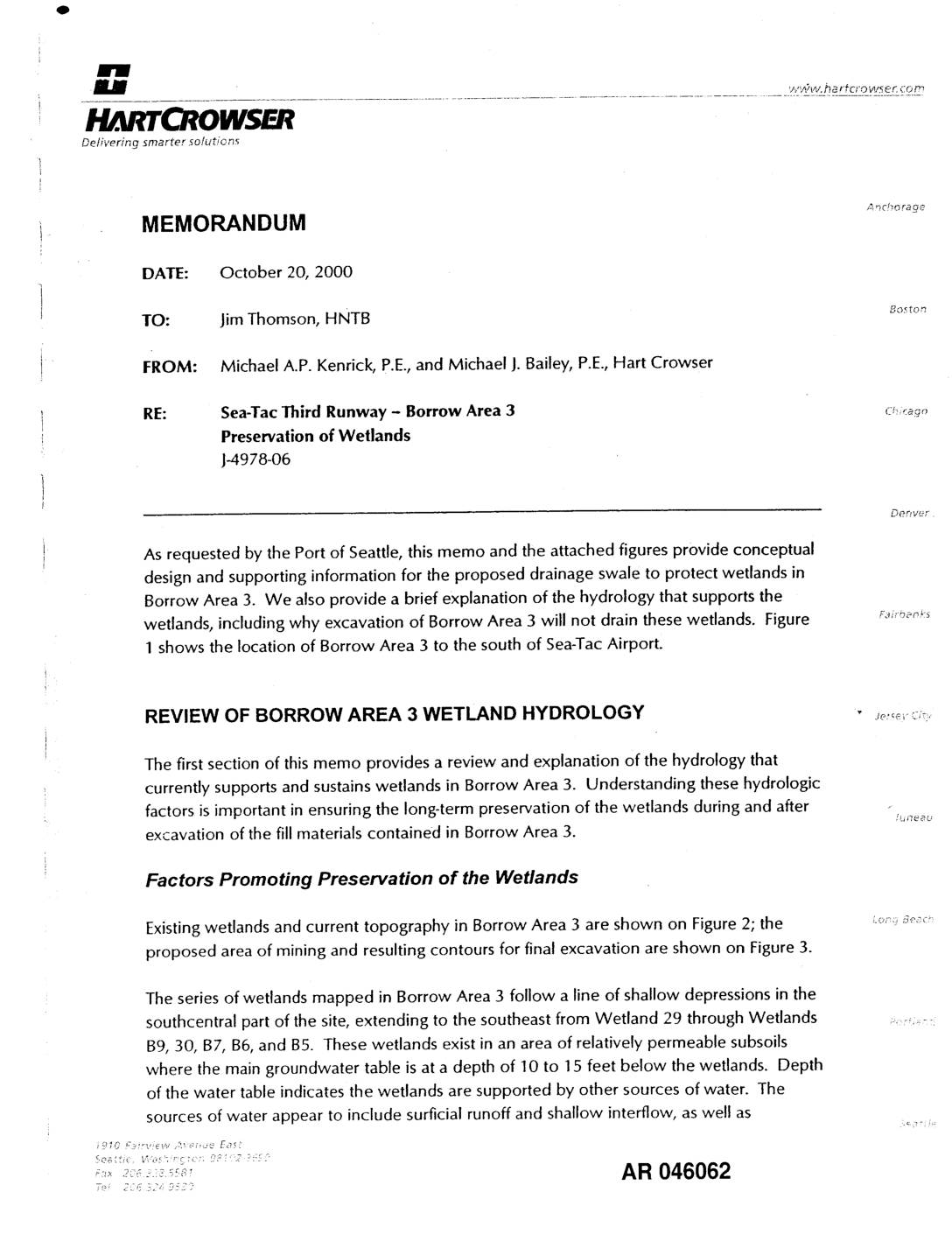
EXH AR046062: Hart Crowser Memorandum — Sea-Tac Third Runway Borrow Area 3 Preservation of Wetlands
Memorandum dated October 20, 2000 from Michael A.P. Kenrick, P.E., and Michael J. Bailey, P.E. of Hart Crowser to Jim Thomson at HNTB (project J-4978-06), prepared for Port Of Seattle regarding Sea-Tac Third Runway Borrow Area 3 wetland preservation. Reviews hydrology sustaining Wetlands 29, B9, 30, B7, B6, and B5 in Borrow Area 3, located -
 2000-10-20
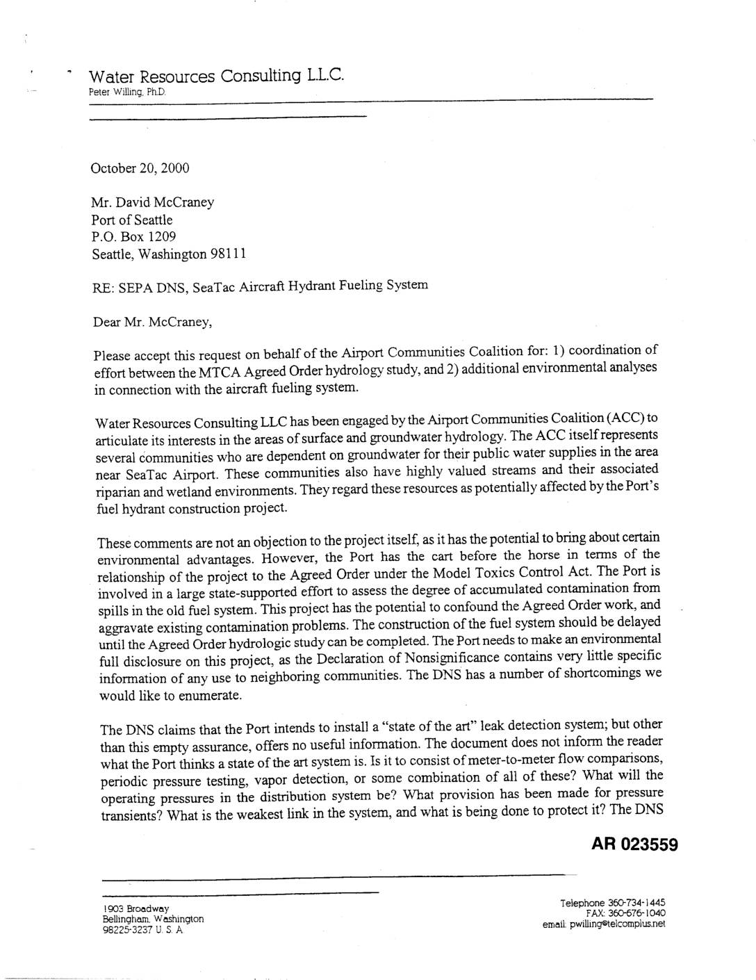
EXH AR023559: Letter Water Resources Consulting (Peter Willing PhD) re SEPA DNS Sea-Tac Aircraft Hydrant Fueling System
In a October 2000 letter to the Port of Seattle, Water Resources Consulting LLC — writing on behalf of the Airport Communities Coalition — raised concerns about the SeaTac Aircraft Hydrant Fueling System project, arguing that construction should be delayed until an ongoing groundwater contamination study under the Model Toxics Control Act was completed. The letter criticized the project's environmental review (Declaration of Nonsignificance) for lacking specific details about leak detection, operating pressures, and contaminated soil management. The consultant warned that deep utility trenching could create preferential flow paths for existing fuel contaminant plumes, potentially threatening the groundwater supplies relied upon by nearby communities. -
 2000-10-20
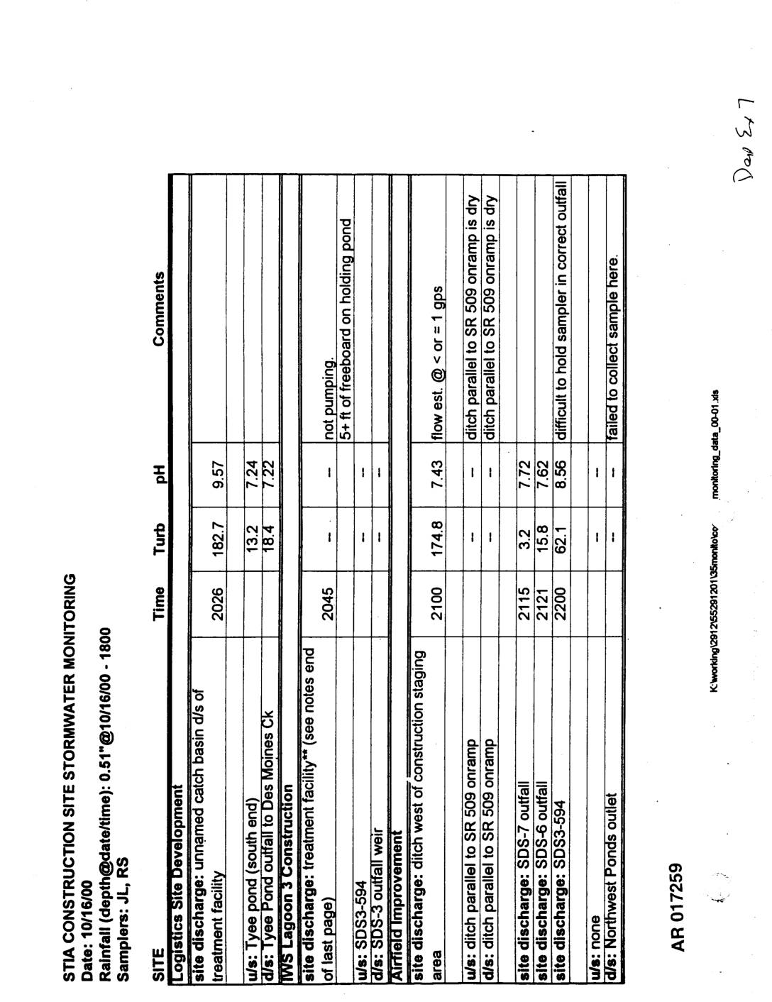
EXH AR017259: STIA Construction Site Stormwater Monitoring Reports, 10/16/2000 and 10/20/2000
STIA Construction Site Stormwater Monitoring reports dated 10/16/2000 and 10/20/2000, samplers JL/RS and JB/RS. AR017259–AR017261. Documents turbidity and pH measurements at multiple construction sites including Logistics Site Development (unnamed catch basin, Tyee Pond, IWS Lagoon 3), MWS Lagoon 3 Construction treatment facility, Airfield Improvement (construction staging area, SDS-7, SDS-6, SDS3-594), Dobbs Flight Kitchen Remodel (SDE4-611, -
 2000-10-18
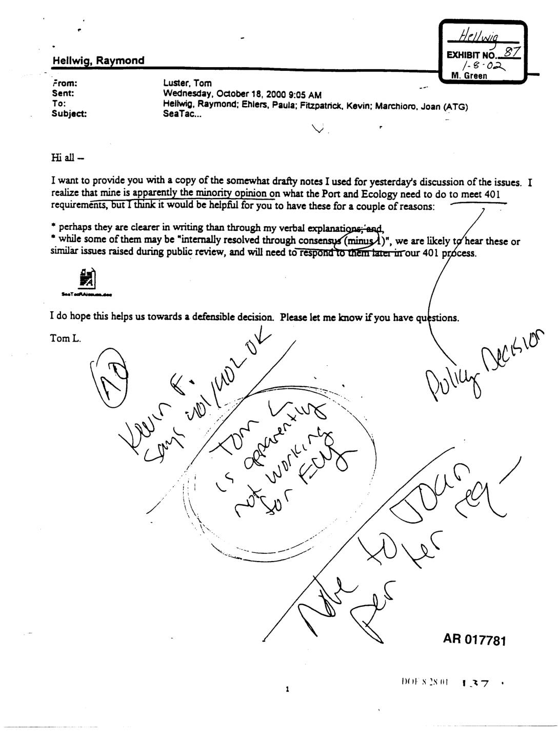
Exhibit 87: Email from Tom Luster to Raymond Hellwig et al. Regarding Sea-Tac 401 Certification Issues
Email dated October 18, 2000 from Tom Luster (Ecology) to Raymond Hellwig, Paula Ehlers, Kevin Fitzpatrick, and Joan Marchioro (ATG) regarding Sea-Tac Airport Section 401 water quality certification requirements. Luster notes his minority opinion on what the Port of Seattle and Ecology must do to meet 401 requirements, and provides drafty notes from a prior -
 2000-10-16
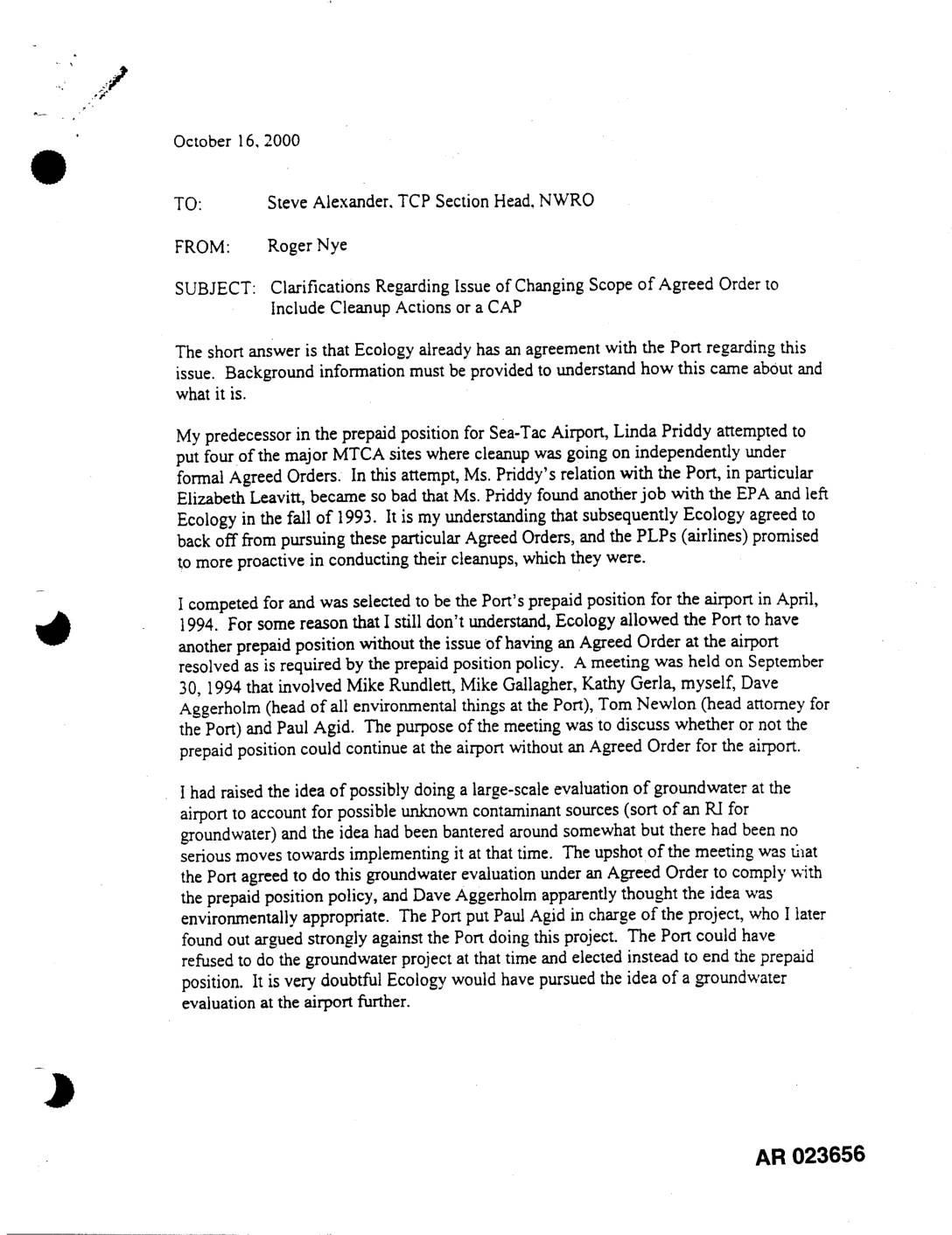
EXH AR023656: Memo Nye to Alexander — Changing Scope Agreed Order, Cleanup Actions or CAP
This October 2000 internal memo from Roger Nye to TCP Section Head Steve Alexander explains the history of the Agreed Order between Washington State Ecology and the Port of Seattle regarding environmental cleanup at Sea-Tac Airport. It describes how the Port agreed to conduct a large-scale groundwater evaluation under an Agreed Order, with the understanding that a risk-based cleanup remedy scenario would be developed if contamination risk proved low. The memo also notes that the Agreed Order intentionally excluded language about remedial actions, with Ecology reserving the right to formally intervene if cleanup became necessary. -
 2000-10-16
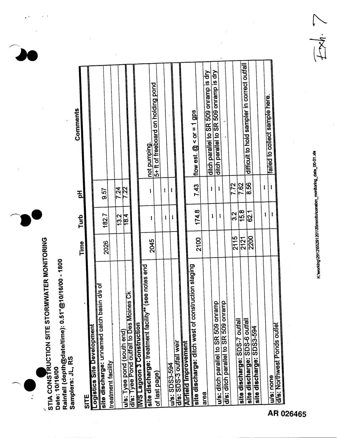
Exhibit 7: STIA Construction Site Stormwater Monitoring — October 16 and 20, 2000
STIA Construction Site Stormwater Monitoring reports dated 10/16/00 and 10/20/00, samplers JL/RS and JB/RS. Documents turbidity and pH measurements at multiple Sea-Tac Airport construction sites including Logistics Site Development (Tyee Pond, Des Moines Creek outfall), MWS Lagoon 3 Construction, Airfield Improvement (SDS3-594, SDS-6, SDS-7), Dobbs Flight Kitchen Remodel (SDE4-611, SDE4-607, SDE4-615, SDE4-601, SDE4-602), Booster Pump -
 2000-10-13
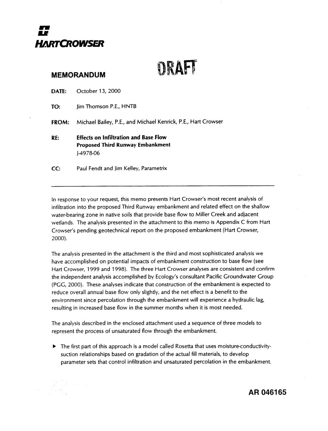
EXH AR046165: Hart Crowser Memorandum — Effects on Infiltration and Base Flow, Proposed Third Runway Embankment
Memorandum dated October 13, 2000 from Michael Bailey P.E. and Michael Kenrick P.E. of Hart Crowser to Jim Thomson P.E. at HNTB (project J-4978-06), analyzing infiltration into the proposed Third Runway embankment at Sea-Tac Airport and effects on shallow water-bearing zone base flow to Miller Creek and adjacent wetlands. Analysis uses three sequential models — -
 2000-10-11
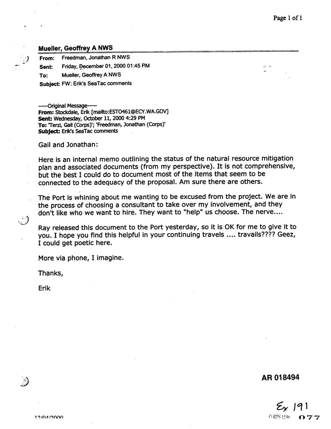
Exhibit 191: Email Chain Forwarding Erik Stockdale’s Sea-Tac Natural Resource Mitigation Plan Comments
Email chain AR 018494 in which Erik Stockdale (Washington State Department of Ecology, ESTO461@ECY.WA.GOV) sends internal memo to Gail Terzi and Jonathan Freedman (Army Corps of Engineers) outlining status of the natural resource mitigation plan and associated documents for Sea-Tac Airport expansion. Stockdale notes the Port of Seattle is objecting to Ecology’s choice of consultant -
 2000-10-04
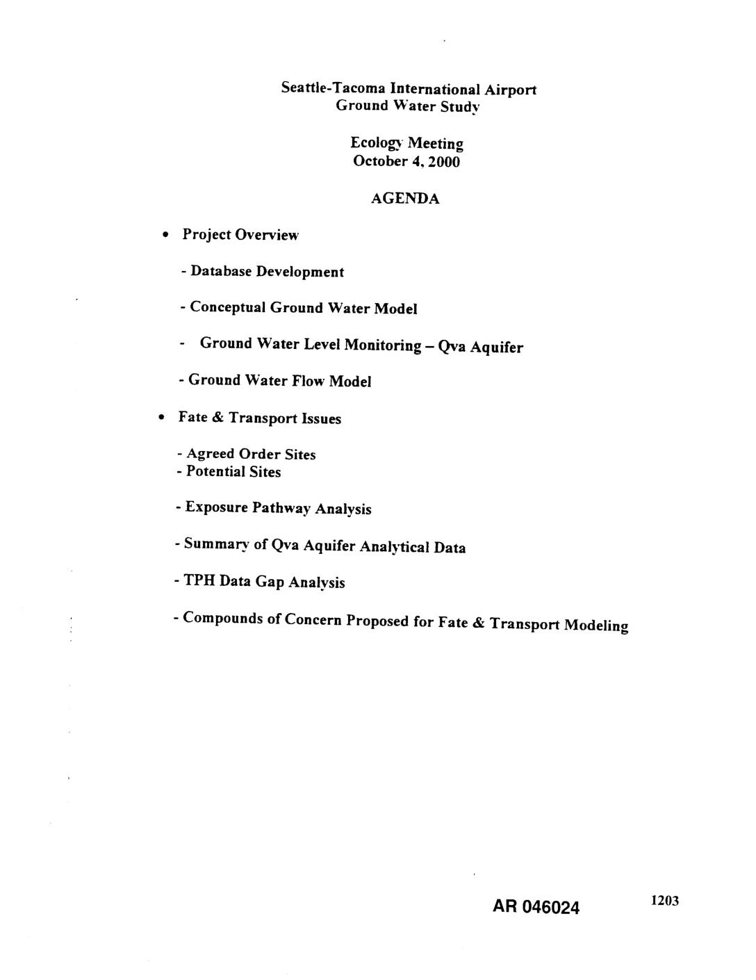
EXH AR046024: STIA Ground Water Study — Ecology Meeting Agenda and Presentation, October 4, 2000
Agenda and presentation materials for the Seattle-Tacoma International Airport (STIA) Ground Water Study Ecology meeting held October 4, 2000, prepared by Associated Earth Sciences, Inc., S.S. Papadopulos and Associates, Inc., and EA Engineering, Science, and Technology for the Port Of Seattle. Topics include database development, conceptual ground water model, ground water level monitoring of the -
 2000-09-28
EXH AR045668: Annual Stormwater Monitoring Report for Seattle-Tacoma International Airport, July 1999–June 2000
Annual Stormwater Monitoring Report for Seattle-Tacoma International Airport (STIA) covering the period July 1, 1999 through June 30, 2000, prepared by Scott Tobiason, Environmental Management Specialist, Aviation Environmental Programs, Port Of Seattle. Report AR 045668 documents stormwater sampling results from STIA storm drainage subbasins including total petroleum hydrocarbons (TPH), fecal coliforms, suspended solids, turbidity, biochemical