Notes
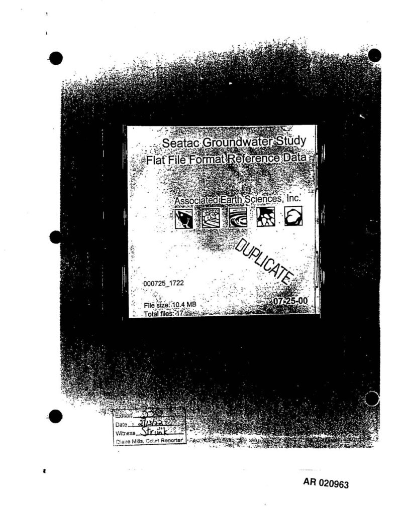
Exhibit 330 (AR020963), introduced 2000-07-25 by witness Strunk before Diane Mills Court Reporter in PCHB proceedings related to Sea-Tac Airport third runway EIS. Cover label and file directory for CD containing Seatac Groundwater Study flat file format reference data, produced by Associated Earth Sciences, Inc. (AESI). Disk ID 000725_1722, file size 10.4 MB, 19 objects including dt_bore, dt_bore_interval, dt_bore_segment, dt_excavation, dt_field_sample, dt_geo_location, dt_geology_summary_AESI, dt_hydraulic_parameters, dt_hydrogeologic_units, dt_location, dt_site, dt_water_level, dt_well, dt_well_segment, rt_drilling_method, rt_HYDROGEOLOGY_LIBRARY, rt_loctyp. Path shown: G:LUACCAES Groundwater Study.