TagSea-Tac Airport(1855)
-
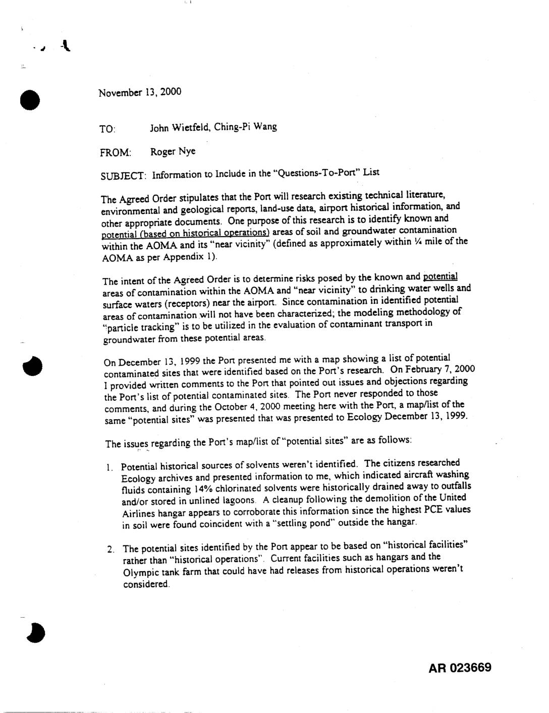 2000-11-13
EXH AR023669: Memo to Wietfeld & Wang — Info for Questions-To-Port List
A November 2000 memo from Washington State Department of Ecology's Roger Nye raises concerns that the Port of Seattle failed to adequately identify potential soil and groundwater contamination sites at Sea-Tac Airport, as required by an Agreed Order. Nye outlines four key deficiencies, including the Port's failure to account for historical use of chlorinated solvents in aircraft washing, overlooked fueling facilities, and incomplete identification of contamination sources based on historical operations rather than just historical facilities. The memo calls for a thorough, honest effort to identify all potential contamination areas that could pose risks to nearby drinking water wells and surface waters. -
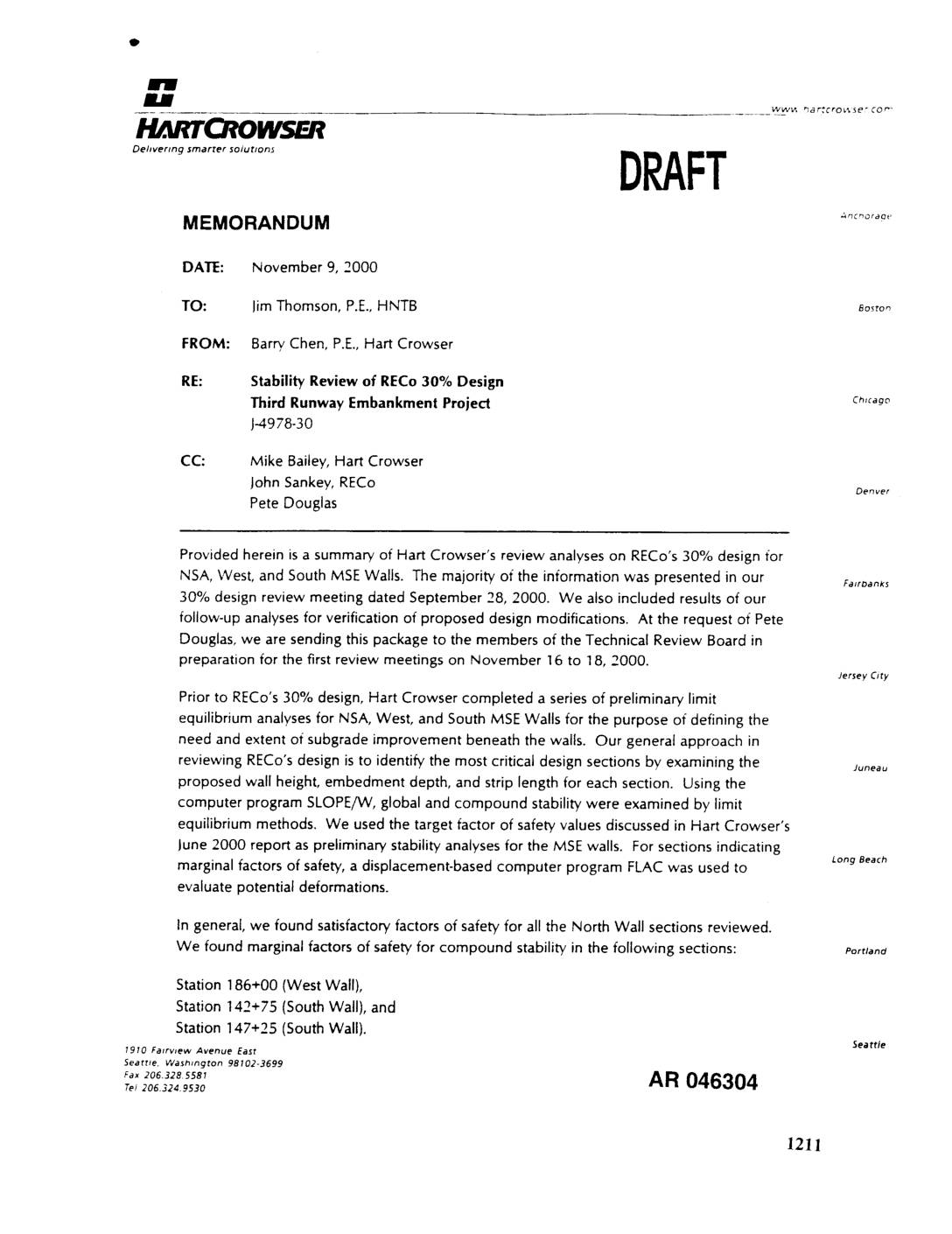 2000-11-09
EXH AR046304: Stability Review of RECo 30% Design — Third Runway Embankment Project
Memorandum dated November 9, 2000 from Barry Chen, P.E. of Hart Crowser to Jim Thomson, P.E. of HNTB (J-4978-30), reviewing RECo’s 30% design for NSA, West, and South MSE (Mechanically Stabilized Earth) walls for the Third Runway Embankment Project at Sea-Tac Airport. Using SLOPE/W limit equilibrium analyses and FLAC displacement-based modeling, Hart Crowser identified marginal -
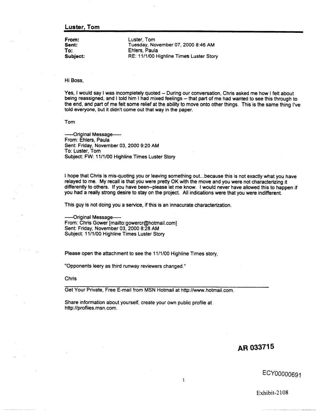 2000-11-07
Exhibit 2108: Email Chain — Tom Luster, Paula Ehlers, Chris Gower Regarding Highline Times Misquote on Third Runway Reassignment
Email chain (AR 033715, ECY00000691) between Tom Luster and supervisor Paula Ehlers, dated November 7, 2000, discussing a November 1, 2000 Highline Times article titled ‘Opponents leery as third runway reviewers changed.’ Luster states he was incompletely quoted by reporter Chris Gower regarding his feelings about being reassigned from the third runway review project — -
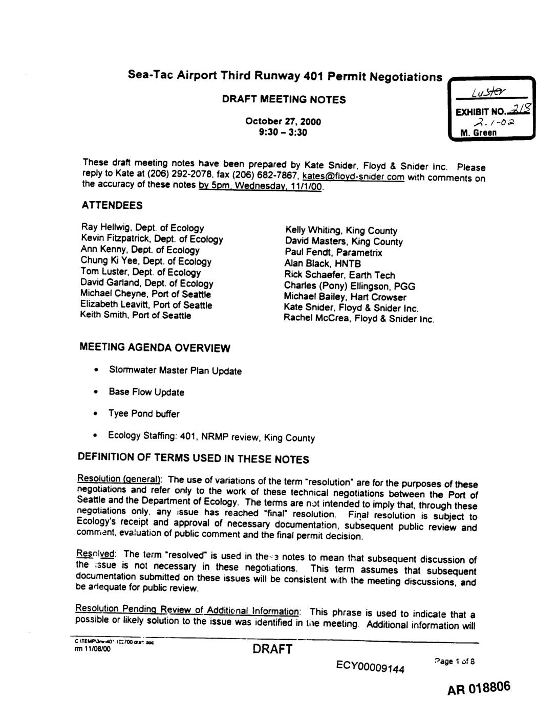 2000-10-27
Exhibit 218: Sea-Tac Airport Third Runway 401 Permit Negotiations — Draft Meeting Notes, October 27, 2000
These draft meeting notes from October 27, 2000 document technical negotiations between the Port of Seattle and the Washington State Department of Ecology regarding the 401 Water Quality Permit for Sea-Tac Airport's Third Runway project. The meeting covered key stormwater management topics including detention sizing, base flow impacts, and the Tyee Pond buffer, with participants tracking a master list of technical issues requiring resolution before the permit could be issued. The notes reflect ongoing discussions between agency staff, Port representatives, and engineering consultants to resolve stormwater modeling, hydrology, and environmental compliance questions. -
 2000-10-26
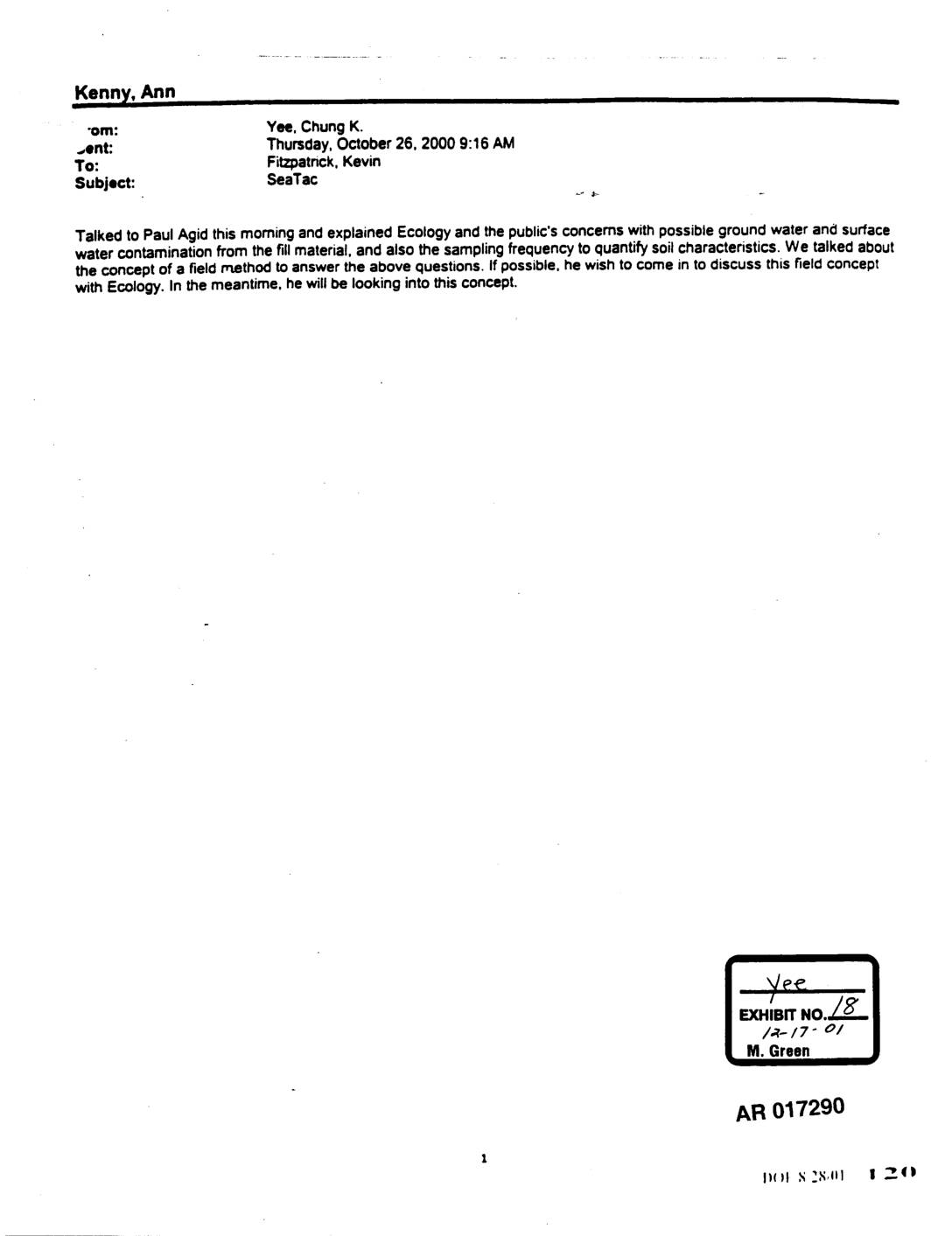
EXH AR017290: Email from Chung K. Yee to Kevin Fitzpatrick re Sea-Tac Fill Dirt Ground Water Concerns
Email dated October 26, 2000 from Chung K. Yee to Kevin Fitzpatrick regarding Sea-Tac Airport fill material contamination concerns. Yee reports a conversation with Paul Agid explaining Ecology and the public’s concerns about possible groundwater and surface water contamination from fill material, and sampling frequency to quantify soil characteristics. Paul Agid expressed interest in discussing -
 2000-10-25
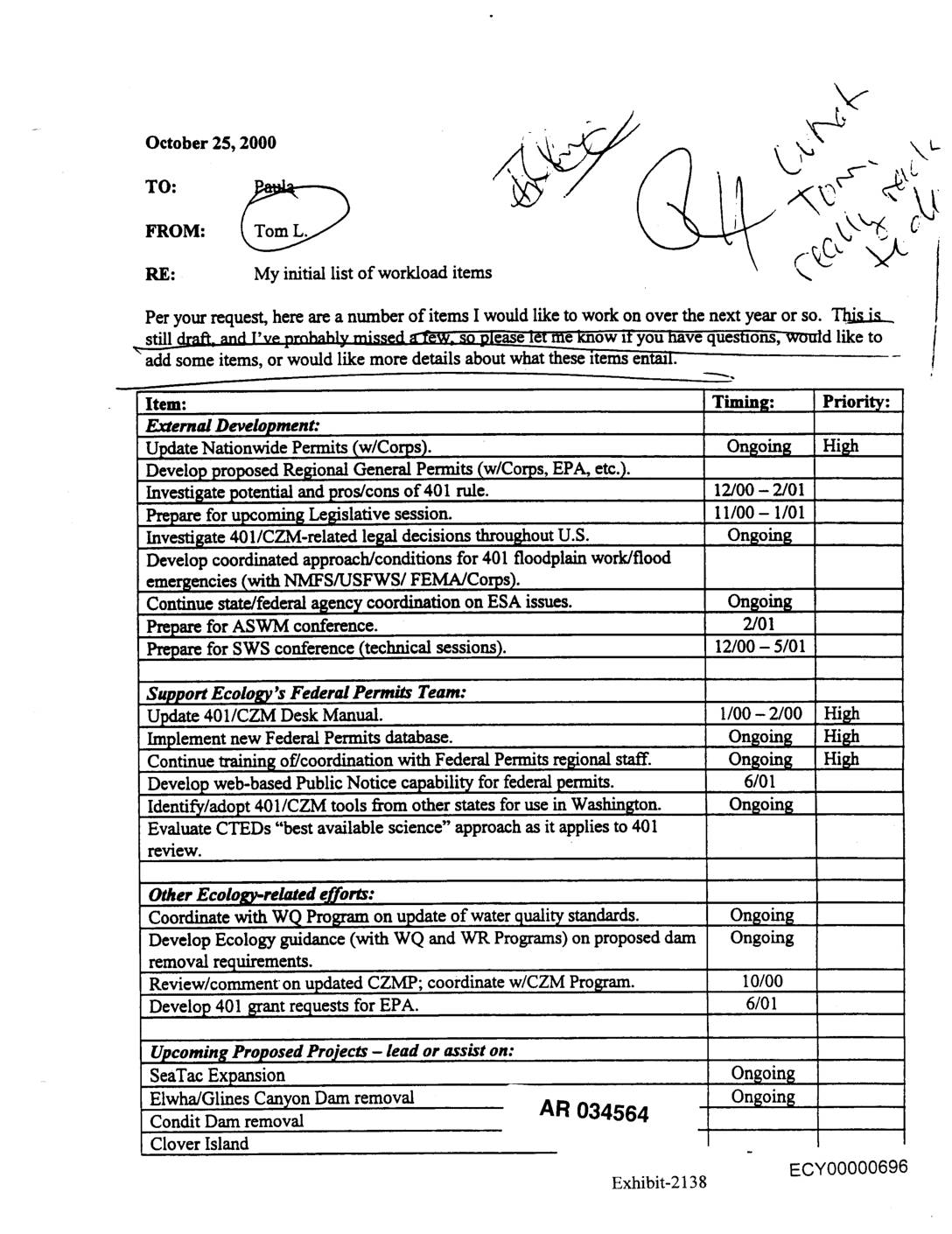
EXH AR034564: Ecology Federal Permits Team Workload Items Memo from Tom L. to Paula
Memo dated October 25, 2000 from Tom L. to Paula at Washington State Department of Ecology listing initial workload items for the next year. Items include updating Nationwide Permits with Army Corps of Engineers, developing Regional General Permits, investigating 401/CZM rule pros/cons, preparing for legislative session, coordinating on ESA issues, updating the 401/CZM Desk Manual, -
 2000-10-25
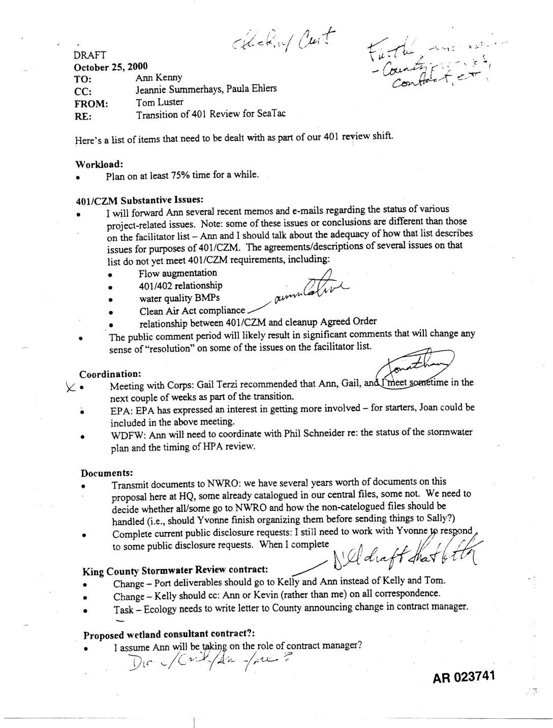
EXH AR023741: Draft Memo — Transition 401 Review STIA
A October 25, 2000 internal memo from Tom Luster to Ann Kenny outlines the transition of the 401 water quality certification review for the Sea-Tac Airport expansion project. It covers key outstanding issues including flow augmentation, water quality BMPs, and Clean Air Act compliance, as well as coordination needs with the Army Corps of Engineers, EPA, and WDFW. The memo also addresses document management, public disclosure requests, and contract administration changes related to the King County Stormwater Review. -
 2000-10-24
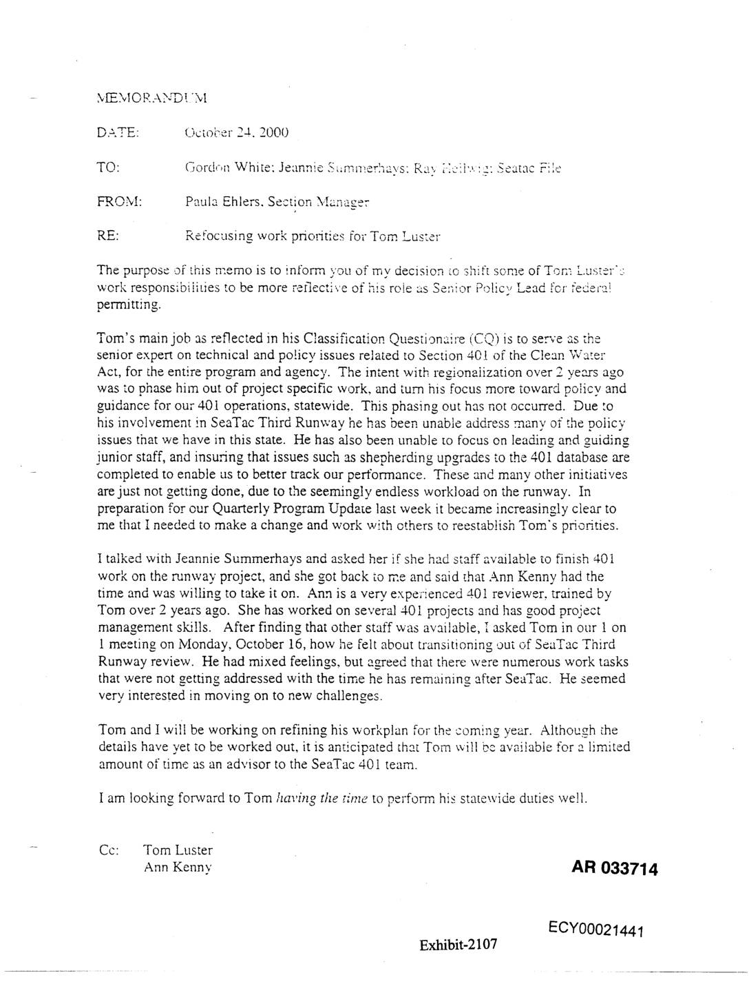
Exhibit 2107: Memorandum — Refocusing Work Priorities for Tom Luster
Memorandum dated October 24, 2000 from Paula Ehlers, Section Manager, to Gordon White, Jeannie Summerhays, Ray Heilwig, and Seatac File, regarding refocusing work priorities for Tom Luster, Senior Policy Lead for federal permitting. Ehlers explains that Tom Luster’s involvement in the SeaTac Third Runway project has prevented him from fulfilling his statewide Section 401 Clean -
 2000-10-20
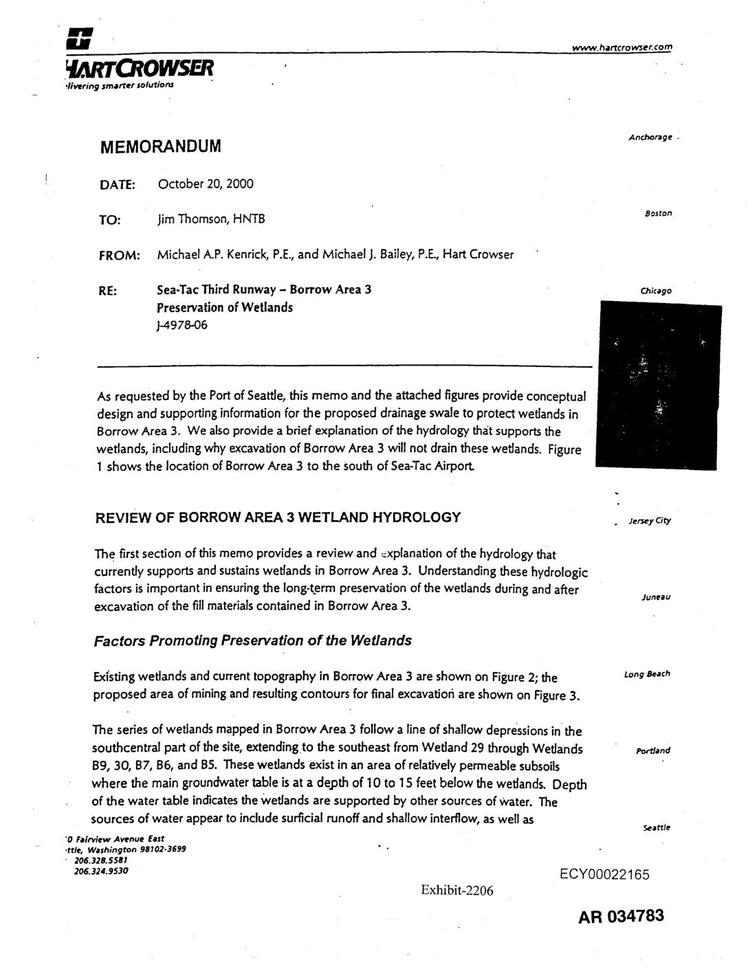
Exhibit 2206: Hart Crowser Memorandum on Sea-Tac Third Runway Borrow Area 3 Wetland Preservation
Memorandum dated October 20, 2000 from Michael A.P. Kenrick, P.E. and Michael J. Bailey, P.E. of Hart Crowser to Jim Thomson at HNTB Boston, regarding Sea-Tac Third Runway Borrow Area 3 wetland preservation (project J-4978-06). Document provides conceptual design for a proposed drainage swale to protect wetlands in Borrow Area 3 located south of Sea-Tac -
 2000-10-20
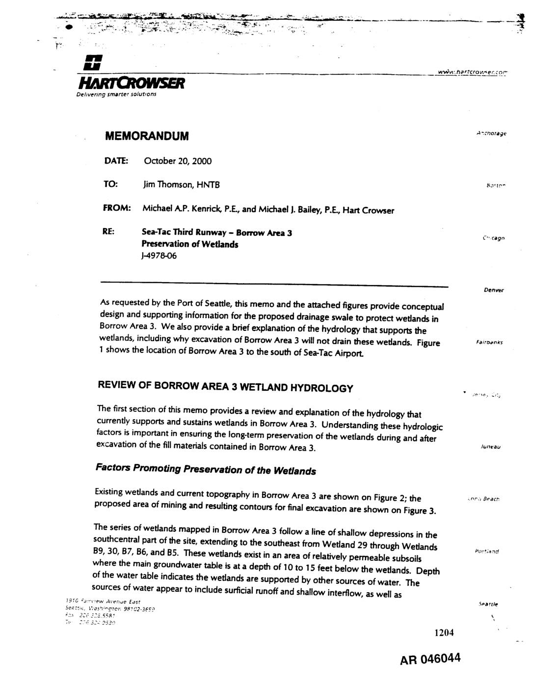
EXH AR046044: Sea-Tac Third Runway – Borrow Area 3 Preservation of Wetlands Memorandum
Memorandum dated October 20, 2000 from Michael A.P. Kenrick, P.E. and Michael J. Bailey, P.E. of Hart Crowser to Jim Thomson of HNTB regarding Sea-Tac Third Runway Borrow Area 3 wetland preservation, project J-4978-06, prepared for Port Of Seattle. Covers hydrology sustaining Wetlands 29, B9, 30, B7, B6, and B5 in Borrow Area 3, including