TagPuget Sound(124)
-
 2002-02-05
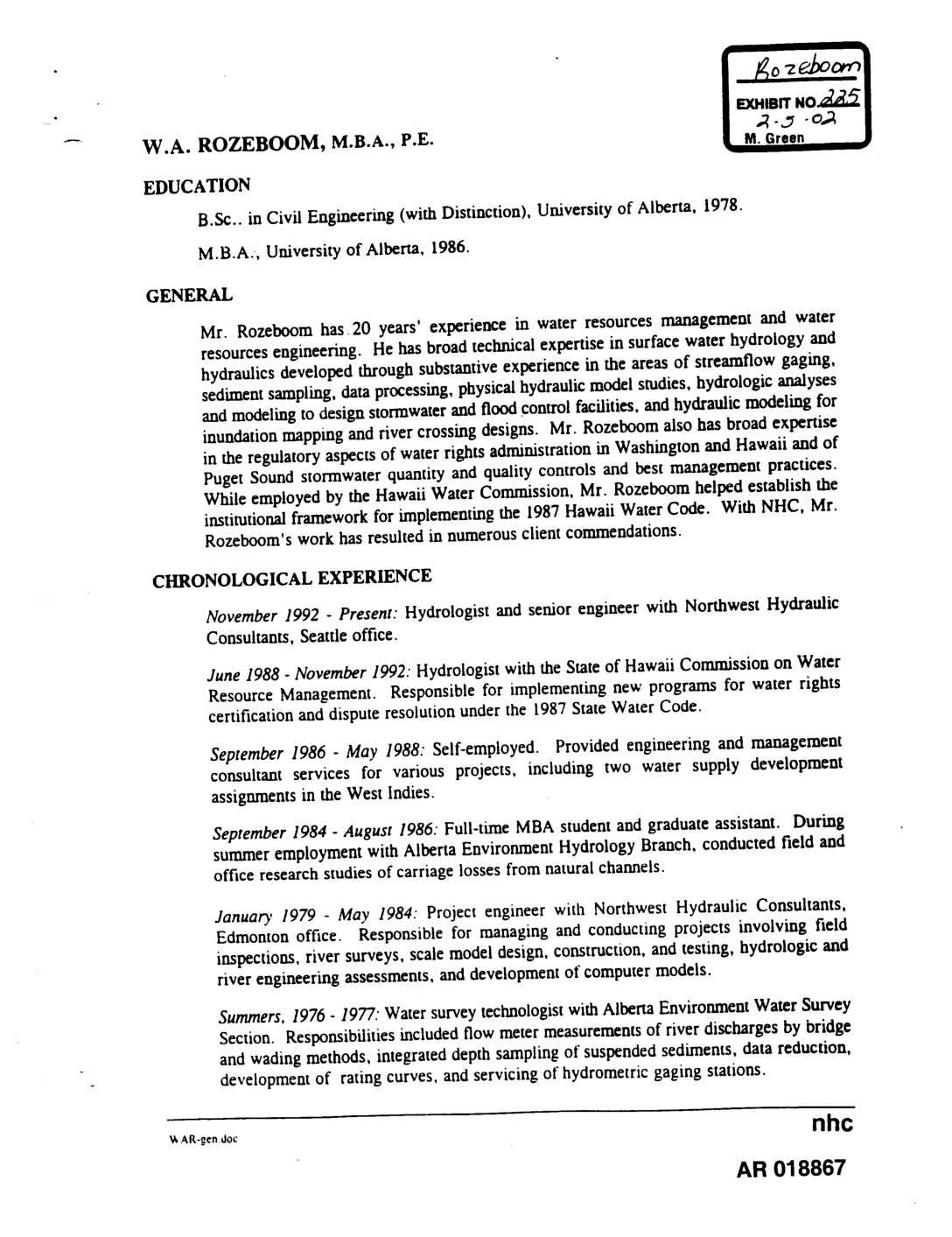
Exhibit 225: Curriculum Vitae of W.A. Rozeboom, M.B.A., P.E. — Northwest Hydraulic Consultants
This document is a professional resume for W.A. Rozeboom, a civil engineer and hydrologist with 20 years of experience in water resources management, surface water hydrology, and hydraulic modeling. His work has focused primarily on flood control, stormwater management, floodplain mapping, and water rights administration in Washington State, Hawaii, and other regions. This document does not appear to contain content directly relevant to Sea-Tac Airport noise policy. -
 2001-08-01
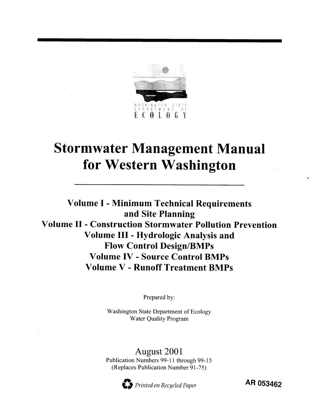
EXH AR053462: Stormwater Management Manual for Western Washington (Volumes I–V)
Washington State Department of Ecology Water Quality Program publication numbers 99-11 through 99-15, August 2001. Stormwater Management Manual for Western Washington covering five volumes: Volume I Minimum Technical Requirements and Site Planning, Volume II Construction Stormwater Pollution Prevention, Volume III Hydrologic Analysis and Flow Control Design/BMPs, Volume IV Source Control BMPs, Volume V Runoff Treatment -
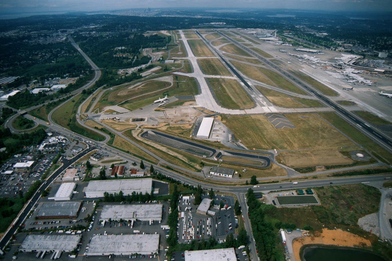
Sea-Tac Airport Aerial View Looking North, with Parallel Runways, Terminal Gates, and Seattle Skyline
Aerial photograph looking northward over Seattle-Tacoma International Airport (Sea-Tac), showing the parallel runway configuration, terminal gates with aircraft at jetways, surrounding industrial/commercial development, and the Seattle skyline and Puget Sound visible in the background. The image appears to date from the late 1980s or 1990s based on the airport layout and visible construction activity near the airfield. -
 2001-06-22
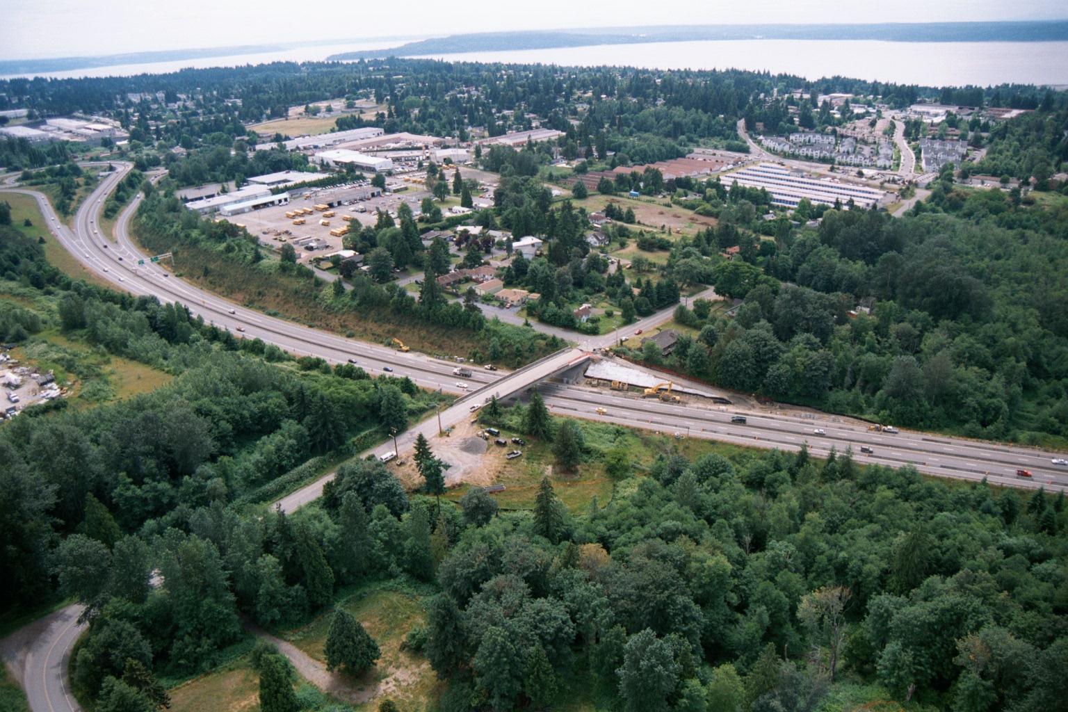
Aerial View of Highway Overpass Construction Near Puget Sound
Aerial photograph showing a multi-lane highway with an overpass bridge under active construction, surrounded by suburban development including what appears to be a school bus depot or transit facility. A body of water is visible in the far background, consistent with the Puget Sound region of Washington State. -
 2001-06-22
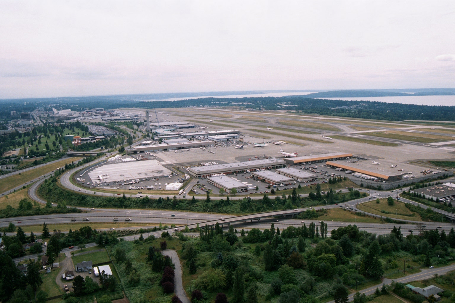
Aerial View of Sea-Tac Airport Looking North, with Puget Sound in Background
Aerial photograph looking north over Seattle-Tacoma International Airport (Sea-Tac), showing the main terminal complex, parallel runways, cargo/maintenance facilities, and Interstate 5 in the foreground. Puget Sound and forested areas are visible in the background, consistent with Sea-Tac's geographic setting between Seattle and Tacoma, Washington. -
 2001-06-22
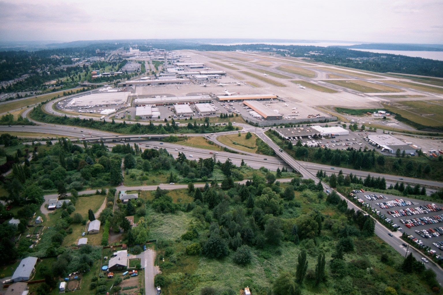
Aerial View of Sea-Tac Airport Looking North, with Puget Sound in Background
An aerial photograph looking northward over Seattle-Tacoma International Airport, showing the terminal complex, parallel runways, cargo facilities, and surrounding residential and commercial areas. Interstate 99 (International Boulevard) and Interstate 5 are visible in the foreground, with Puget Sound visible in the upper right background. -
 2001-06-22
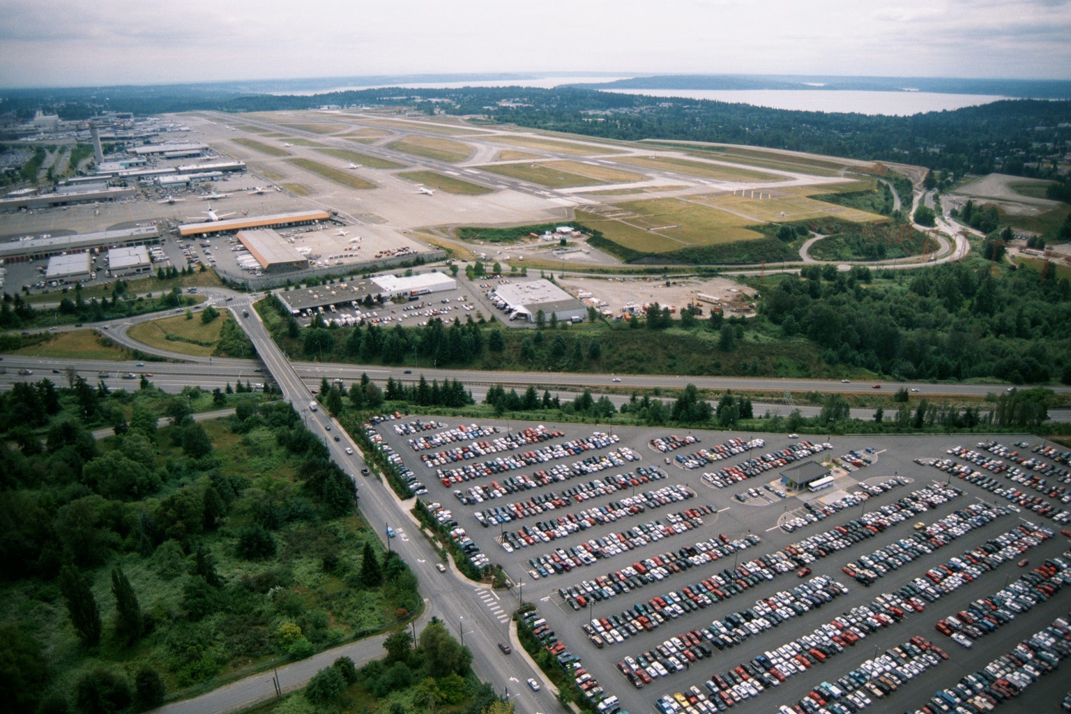
Sea-Tac Airport Aerial View Showing Runways, Terminal, and Puget Sound
Aerial photograph showing Sea-Tac Airport's runway complex, terminal area, and cargo/maintenance facilities, with a large surface parking lot in the foreground and Puget Sound visible in the background. The image appears to date from the late 1970s or 1980s based on vehicle styles and airport infrastructure visible. -
 2001-06-22
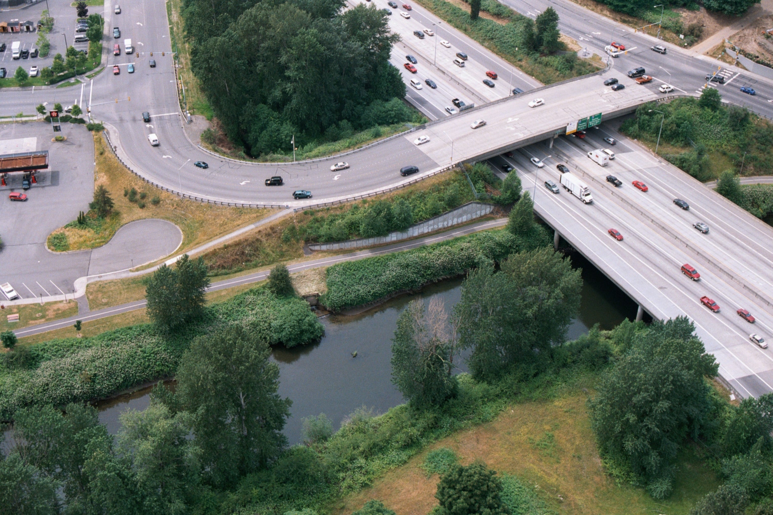
Aerial View of Freeway Overpass with Texaco Station and Riparian Vegetation, Greater Seattle Area
Aerial photograph showing a multi-lane freeway (appearing to be I-5 or a similar Pacific Northwest interstate) crossing over a small river or creek, with a surface street interchange, commercial parking lot with a visible Texaco station logo, and dense riparian vegetation below the overpass. The image appears relevant to transportation infrastructure documentation in the greater Seattle/Sea-Tac area. -
 2001-06-22
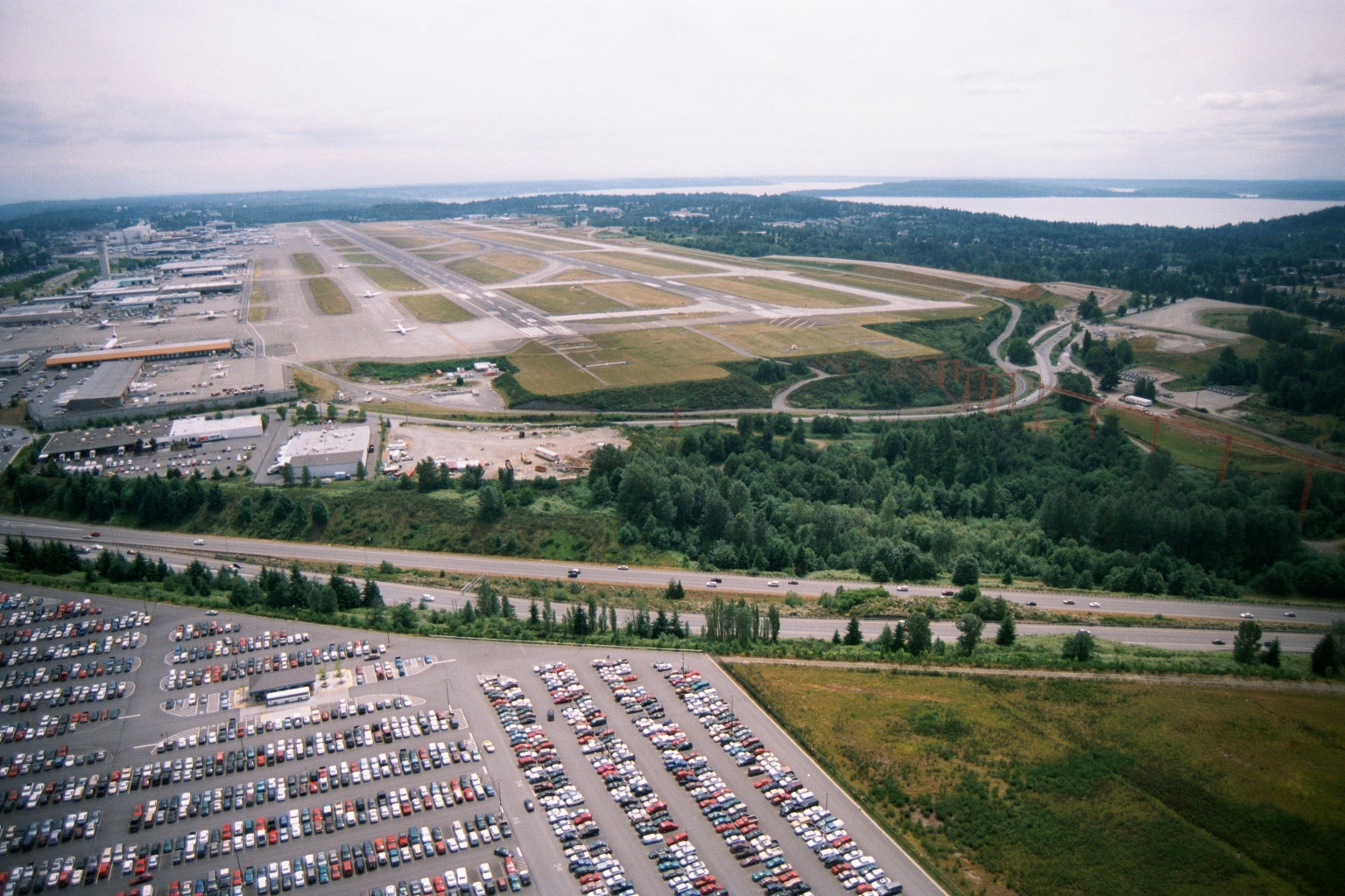
Aerial View of Sea-Tac Airport Looking North Toward Puget Sound
Aerial photograph looking northward over Seattle-Tacoma International Airport, showing the parallel runway complex, terminal and cargo areas on the west side, a large airport parking lot in the foreground, Interstate 5 running across the middle ground, and Puget Sound visible in the background. The image appears to date from the 1990s based on infrastructure and vehicle styles, and is consistent with noise-policy documentation of the airport's runway layout and surrounding land use. -
 2001-06-22
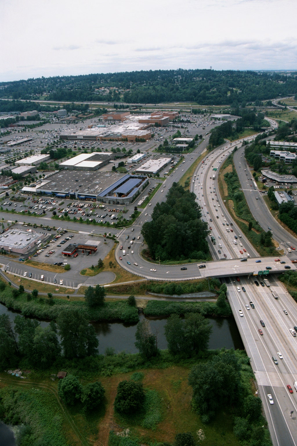
Aerial View of Interstate Freeway Bridge Over River Near Suburban Shopping Mall, Greater Seattle Area
Aerial photograph showing a multi-lane highway (appearing to be an Interstate freeway) with a bridge crossing over a small river or slough, flanked by a large suburban shopping mall complex with extensive surface parking lots. Dense residential neighborhoods and forested hillsides are visible in the background, consistent with the greater Seattle/Puget Sound region.