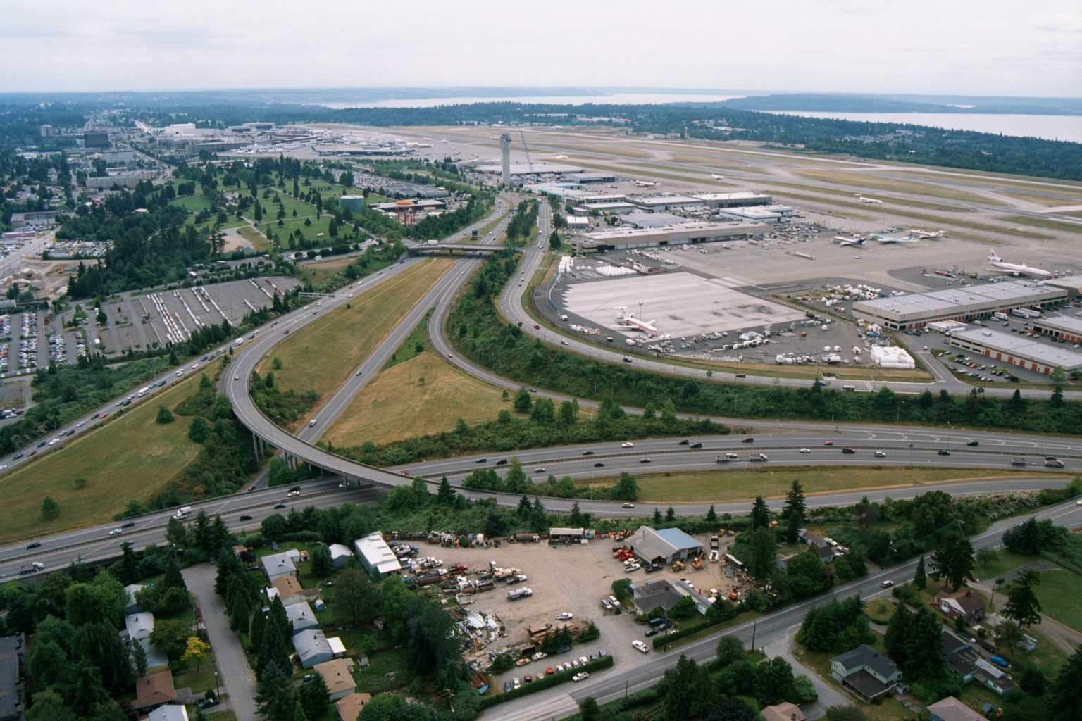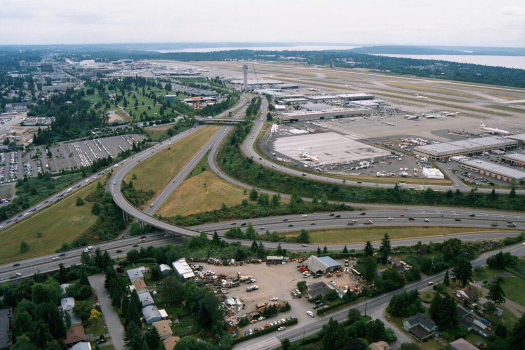
Aerial photograph looking north toward Seattle-Tacoma International Airport (Sea-Tac), showing the terminal complex, control tower, aircraft aprons, and runways adjacent to Puget Sound in the background. The foreground shows a major freeway interchange (likely Interstate 5 and SR 518/Sea-Tac access roads) with surrounding commercial and residential development, consistent with imagery from the 1970s–1980s based on aircraft liveries and infrastructure visible on the ramp.Open full document
Notes
Aerial photograph looking north toward Seattle-Tacoma International Airport (Sea-Tac), showing the terminal complex, control tower, aircraft aprons, and runways adjacent to Puget Sound in the background. The foreground shows a major freeway interchange (likely Interstate 5 and SR 518/Sea-Tac access roads) with surrounding commercial and residential development, consistent with imagery from the 1970s–1980s based on aircraft liveries and infrastructure visible on the ramp.