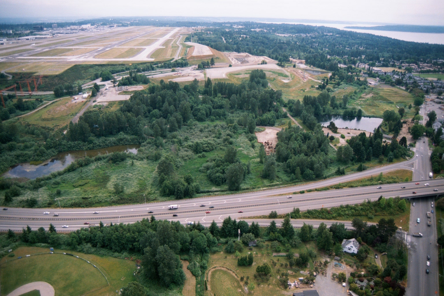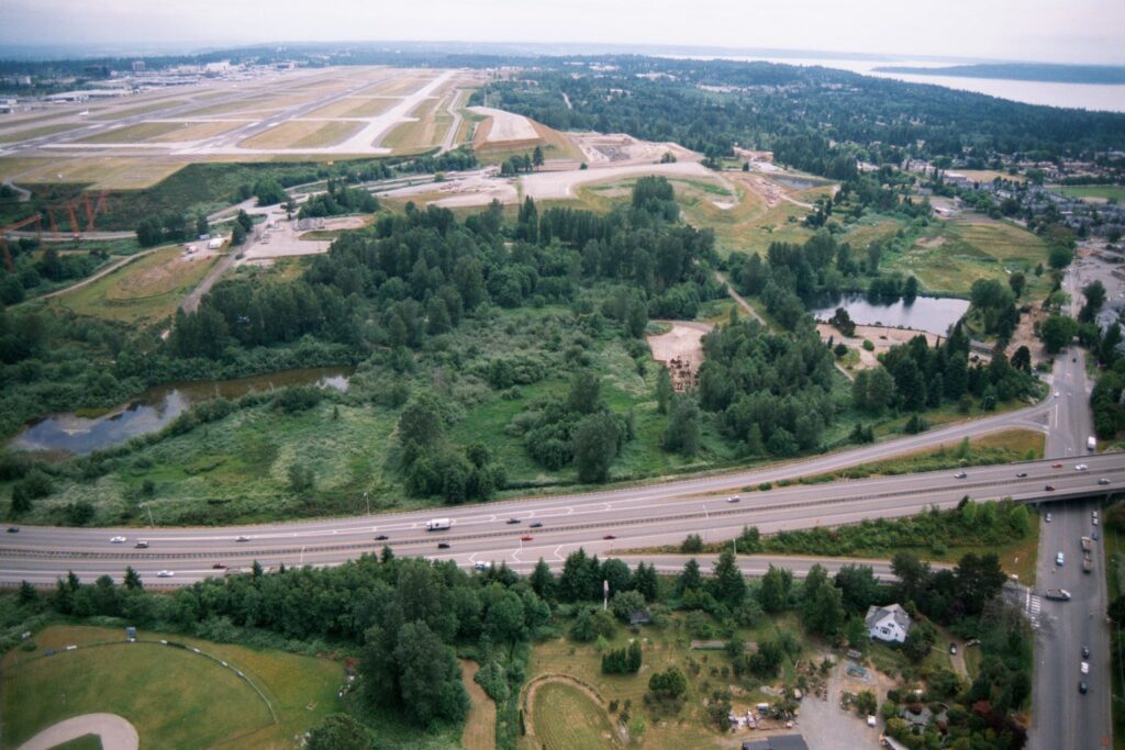
Aerial photograph looking north showing Seattle-Tacoma International Airport's runway infrastructure under construction (likely the third runway project, completed 2008) in the upper left, with the Des Moines Creek wetlands area in the center, and a multi-lane highway (SR-99/Pacific Highway South) crossing the foreground. Puget Sound and forested residential areas are visible on the right horizon.Open full document
Notes
Aerial photograph looking north showing Seattle-Tacoma International Airport’s runway infrastructure under construction (likely the third runway project, completed 2008) in the upper left, with the Des Moines Creek wetlands area in the center, and a multi-lane highway (SR-99/Pacific Highway South) crossing the foreground. Puget Sound and forested residential areas are visible on the right horizon.