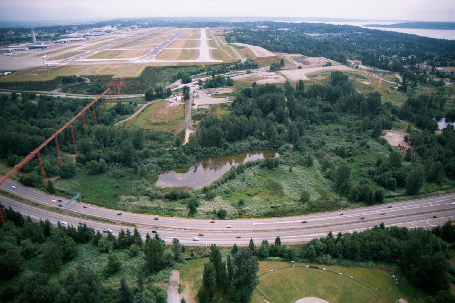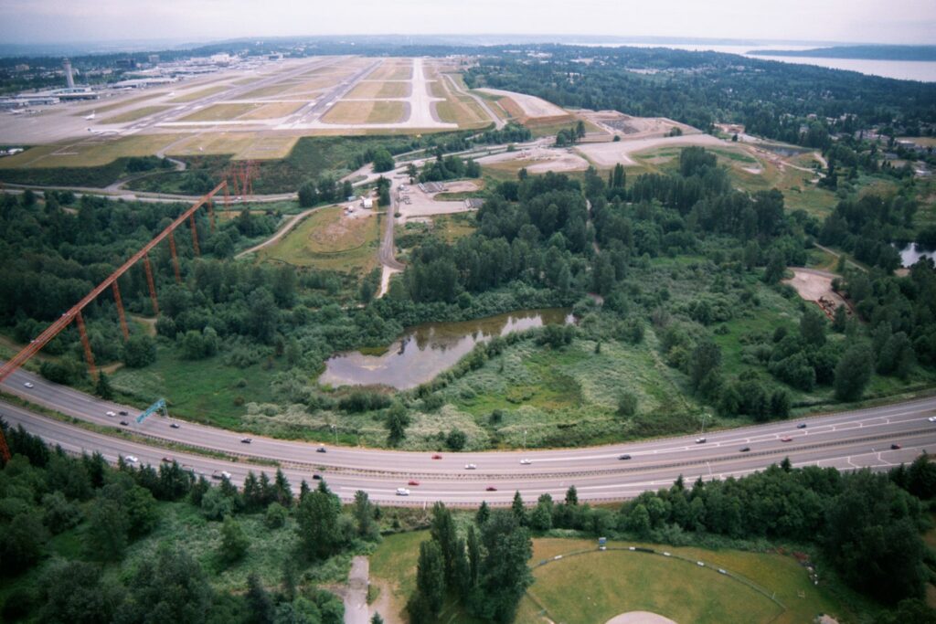
Aerial photograph looking north toward Seattle-Tacoma International Airport (Sea-Tac), showing the runway complex and terminal area in the background. In the foreground, a multi-lane highway (likely SR-518 or I-5 corridor) curves past a wetland area, with high-voltage transmission towers visible at left and Puget Sound visible in the upper right distance.Open full document
Notes
Aerial photograph looking north toward Seattle-Tacoma International Airport (Sea-Tac), showing the runway complex and terminal area in the background. In the foreground, a multi-lane highway (likely SR-518 or I-5 corridor) curves past a wetland area, with high-voltage transmission towers visible at left and Puget Sound visible in the upper right distance.